


 Latin America
 Brazil
12


| Thumbs Up |
| Received: 12,173 Given: 7,962 |
Hello Everybody, I just felt like showing to you a little about the place I live in, the state of São Paulo in Southeastern Brazil. Anyone is free to comment. I think it would also be nice if other Brazilians from other states created a thread like this.
Flag
Coat of Arms
Capital São Paulo Largest City São Paulo Population 41,901,219 Ethnic Groups Whites 67.9%, Pardos 24.7%, Blacks 5.8%,
Asians 1.3%, Amerindians 0.3%Climate Subtropical, Temperate, Tropical GDP US$ 614,579,311 GDP per capta US$ 15,322 HDI 0.851 – high Area 248 209,426 km²
Geography
The state of São Paulo has an area of approximately 248,800 km² (95,700 mi2), and a population of about 40 million (21.5% of the population of Brazil), which makes it the most populous country subdivision in the Western Hemisphere.
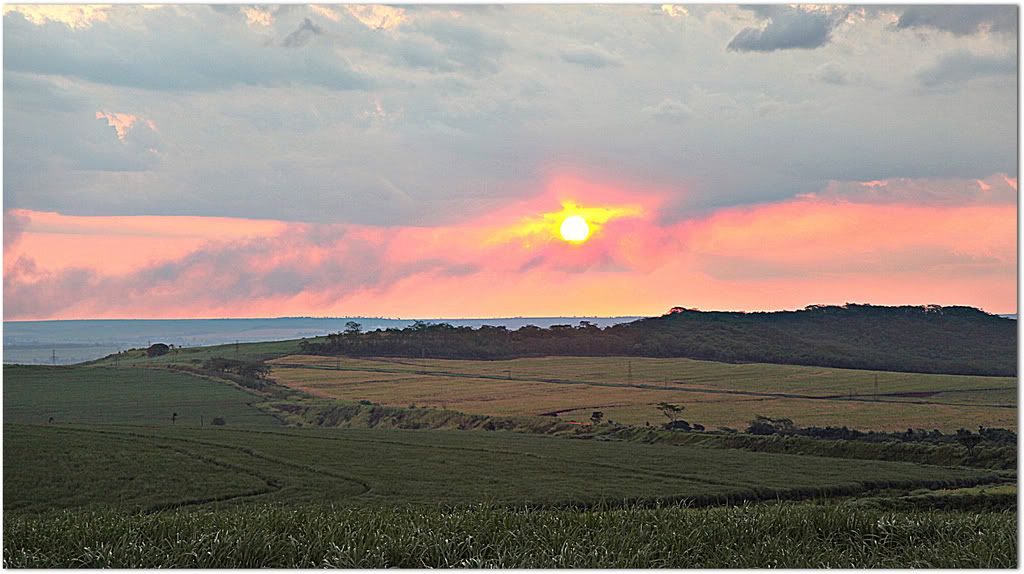
São Paulo has a coastline 370 miles (600 km) long. The narrow coastal zone is broken by lagoons, tidal channels, and mountain spurs. It is bordered by the slopes of the Serra do Mar, on the edge of an extensive plateau with wide, grassy plains, about 1,500 to 3,000 feet (460 to 920 metres) above sea level. Most of the state is located in the Brazilian Highlands, with an average elevation between 300 m and 900 m. The highest mountain in the state is Pedra da Mina, with an elevation of 2.798,9 m. Isolated ranges of low elevation break the surface in places, but, in general, the undulating tableland slopes toward the Paraná River, the state’s western boundary.
Pedra da Mina mountain, highest mountain in São Paulo with 2.800 m.
The Paraná and its tributaries—the Paranapanema, Tietê (which traverses the whole state), Pardo, Canoas, Inferno, Anhanguera, Turvo, and Dourados—flow westward into the estuary of the Río de la Plata. The extreme eastern part of the tableland, however, slopes to the east, and, from a little east of the city of São Paulo, the Paraíba do Sul River turns northeastward and flows parallel to the coast, meandering across a wide floodplain used for the production of rice.
Climate
Sutropical and Temperate
Savanna Tropical
Humid Tropical
Equatorial
Arid and Semi-Arid
The climate of São Paulo is temperate to subtropical, altitude being the largest contributor to what variation there is. The capital, São Paulo City, barely outside the tropics in the south of the state and about 780 m (2,559 ft) above sea level, has daily minima and maxima averaging from 17°C to 27°C at the warmest time of year and about 6°C to 19°C respectively at the coolest time of year. Temperatures reach around 32°C on the hottest days and fall as low as -1°C on the coldest nights. In the low-lying northwest of the state, temperatures average around 4°C higher, and much cooler in the mountains, where frost and even snow can be registered. The lowest temperature registered on the state was of -7ºC, at Campos do Jordão.
Two worlds in a single state: Campos do Jordão (first), and Ilhabela (second)
Identity
Paulistas have a very strong regional identity, and are very proud of their heritage. For this reason, São Paulo is a great producer of war and identity pride campaigns. Some examples of this art became popular during the Constitutionalist Revolution of 1932 (see History below for more information):

Last edited by Smaug; 08-31-2014 at 03:47 PM.
| Thumbs Up |
| Received: 12,173 Given: 7,962 |
Demographics
Main Article: Immigration to Brazil
The last PNAD (National Research for Sample of Domiciles) census revealed the following numbers: 29,245,300 White people (70.0%), 10,026,000 Brown (Multiracial) people (24.0%), 1,671,000 Black people (4.0%), 584,000 Asian people (1. 8%), 83,000 Amerindian people (0.2%).
People of Italian descent predominate in many towns, including the capital city, where 65% of the population has at least one Italian ancestor. The Italians mostly came from Veneto and Campania, but also from Lombardy and Calabria. Portuguese and Spanish descendants predominate in most towns. Most of the Portuguese immigrants and settlers came from the Entre-Douro-e-Minho Province in Northern Portugal, the Spanish immigrants mostly came from Galicia (Spain) and Andalusia. People of African or Mixed background are relatively numerous, mainly amongst the recent Northeastern Brazilian migrants that reside on the state.
First: Italian-Paulistas in folk costume.
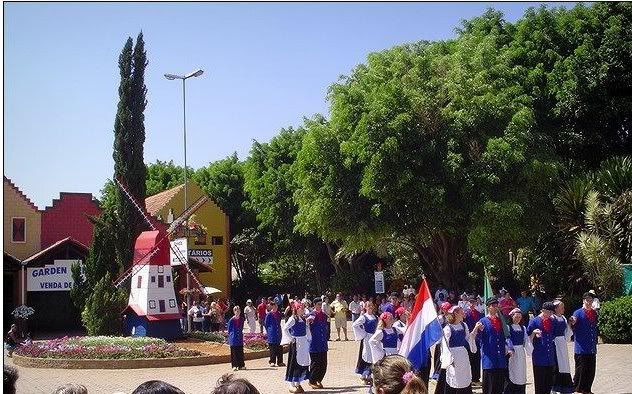
Second: Dutch-Paulistas in Holambra
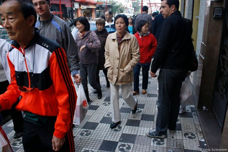
Third: Asian-Paulsitas in Liberdade Neighbourhood
São Paulo is home to the largest Asian population in Brazil, as well to the largest Japanese community outside of Japan itself. There are also many people of Levantine descent, mostly Lebanese.
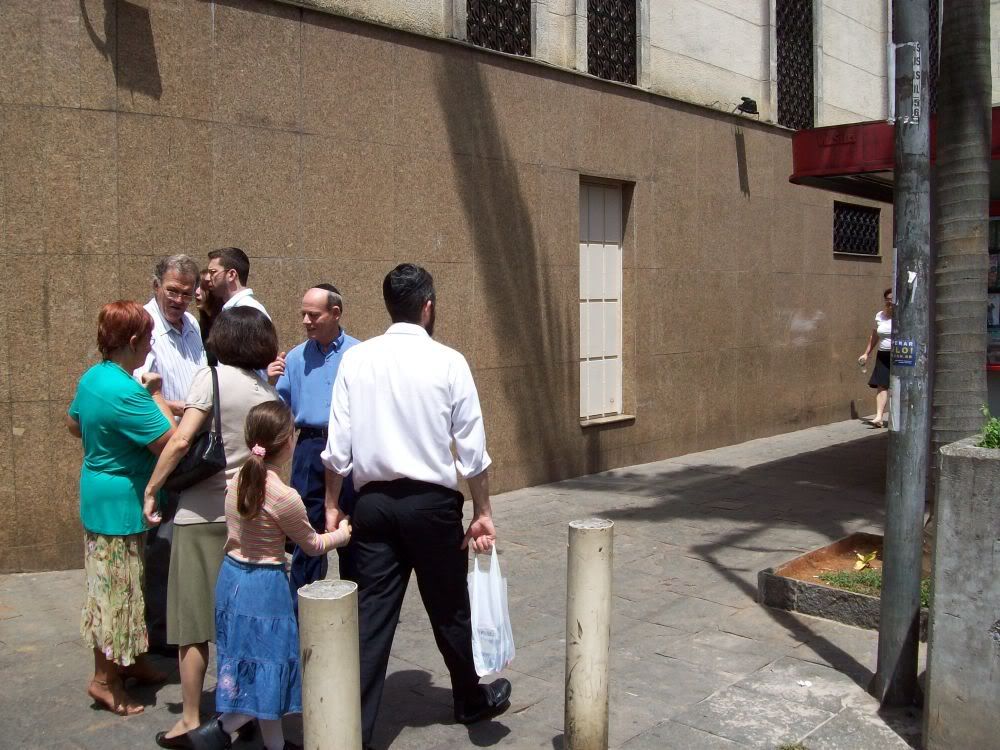
The majority of Brazilian Jews live in the state, especially in the capital city but there are also communities in Greater São Paulo, Santos, Guarujá, Campinas, Valinhos, Vinhedo, São José dos Campos, Ribeirão Preto, Sorocaba, Itu. Most of these Jews are of Ashkenazi background, from Poland, Germany, Russia, Lithuania and Ukraine.
People of more than 70 different nationalities emigrated to São Paulo in the last two centuries, most of them through the Port of Santos in the City of Santos, São Paulo. People of German, British, Hungarian, Lithuanian, Russian, Scandinavian, Chinese, Korean, American, Bolivian, Greek and French background, as well as dozens of other immigrant groups, form sizable groups in the state.
In a general analysis, if all the population mixed and formed a single ethnicity, the result, according to an autosomal DNA genetic study (from 2006), would be: European genes accounting for 79% of the heritage of the people of São Paulo, 14% of African origin, and 7% Native American.
Italian-Paulistas:
Lithuanian-Paulistas:
British-Paulistas:
Portuguese-Paulistas:
Japanese-Paulistas:
Jewish-Paulistas:

| Thumbs Up |
| Received: 12,173 Given: 7,962 |
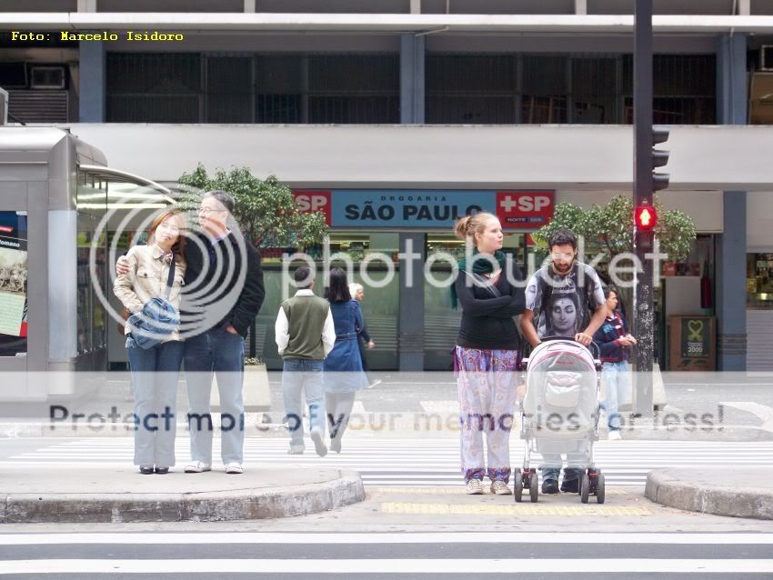
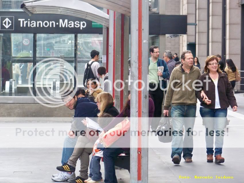
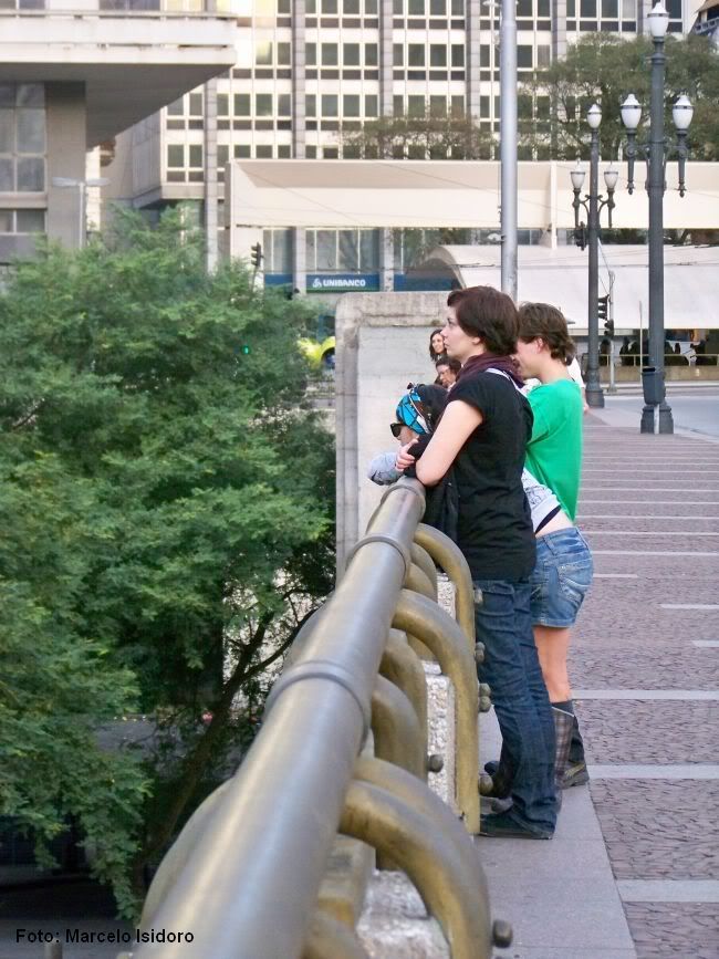
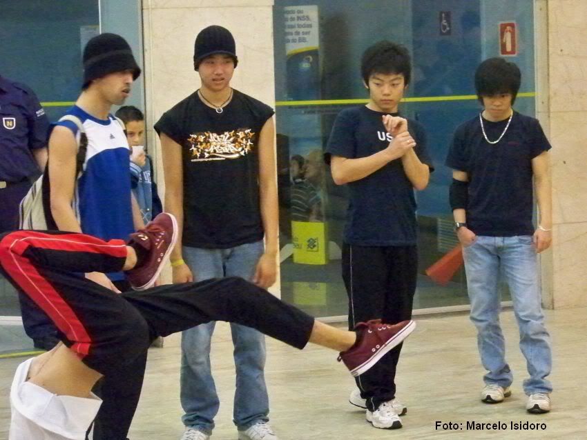
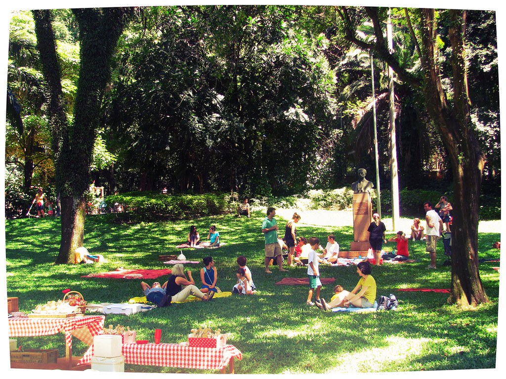
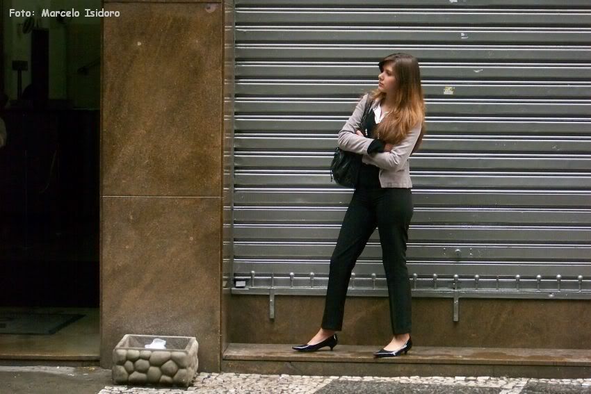
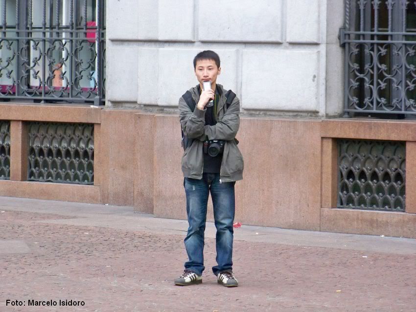
Crowds of São Paulo:
| Thumbs Up |
| Received: 12,173 Given: 7,962 |
History
The area that is now São Paulo state has been occupied by the Tupi people's nation for at least 12.000 years, descendants of tribes who migrated southwards from the Amazon Basin, who subsisted through hunting and cultivation. The first European to settle in the area was João Ramalho, a Portuguese sailor who may have been shipwrecked around 1510, ten years after the first Portuguese landfall in Brazil. In 1532 São Vicente, the first town in São Paulo, was founded by Martim Afonso de Sousa.
Santos Fortress, built to defend the coast from English, French and Dutch pirates and corsairs.
Fearing Indian attack, the Europeans discouraged development of the territory's vast interior, however some whites headed for Piratininga, a plateau near São Vicente, drawn by its navigable rivers and agricultural potential. Borda do Campo, the plateau settlement, became an official town (Santo André da Borda do Campo) in 1553. The history of São Paulo city proper begins with the founding of a Jesuit mission on January 25, 1554—the anniversary of Saint Paul's conversion. The brave men who settled and explored the countryside of São Paulo were known as "bandeirantes", literally meaning "flag carriers". Silver, gold and diamonds were bandeirante's pursuits, as well as the exploration of unknown territories. Roman Catholic missionaries sometimes tagged along, as efforts at converting the native worked hand in hand with Portuguese colonialism. Despite some atrocities commited by them against the natives, the bandeirantes are now equally remembered for penetrating Brazil's vast interior.
Domingos Jorge Velho, a Paulista bandeirante.
It was only during the final decades of the Brazilian Empire that São Paulo gained real importance. With the collapse of Sugar Cane crops in Northeastern Brazil, and the exhaustion of gold and silver mines in Minas Gerais, São Paulo could finally have its place on the sun with its Coffe plantations. At first plantation labour was performed by African slaves, however slavery had been fading since the import of enslaved Africans was outlawed in 1850. São Paulo, thanks to such figures as Luiz Gama (a former slave), was a centre of abolitionism. In 1888, Brazil abolished slavery (it was the last country in the Americas to do so) and the freed African-Brazilians who had been helping build the nation were then forced to beg for their jobs back, working for food and shelter only because of the failure of the system to integrate them as equal citizens with Euro-Brazilians.
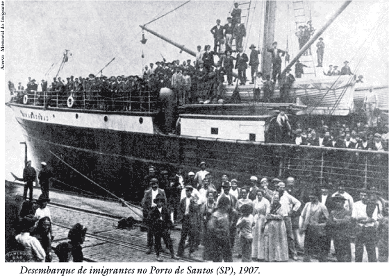
In an effort to get people to work on the plantations, as well as to "bleach the race", as the nation's leaders feared Brazil was becoming a "black country", Spanish, Portuguese, German and Italian nationals were given incentives to become farm workers in São Paulo. The state government was so eager to bring in European immigrants that it paid for their trips and provided varying levels of subsidy. By the 1900's, foreigners made up over 55% of São Paulo's population. From 1908, the Japanese arrived in great numbers, many destined for the plantations on fixed-term contracts. By 1920 the state began its process of industrialization; São Paulo was Brazil's second-largest city; a half-century before, it had been just the tenth-largest.
Italian immigrants arriving in São Paulo through the Port of Santos.
São Paulo had become the largest industrial centre in South America. World War I sent ripples through Brazil. Inflation was rampant. Some 50,000 workers went on strike. Thus, the growing urban population grew increasingly resentful of the coffee elite. Disaffected intellectuals expressed their views during a memorable "Week of Modern Art" in 1922. Two years later, a garrison of soldiers staged a revolt (eventually quashed by government troops).
The stand-off was also political: politics had been long monopolised by the Paulista Revolutionary Party, but in 1926 a more left-leaning party rose in opposition. In 1928, the PRP amended São Paulo's state constitution to give it more control over the city. The turbulence was mirrored on Brazil's national scene. With the Great Depression, coffee prices plunged, as did real GDP. Americans, keen investors during the 1920s, backed away. The opening of the first highway between São Paulo and Rio in 1928 was one of the few bright spots. Into the breach stepped Getúlio Vargas, a southerner veteran in state politics. In Brazil's 1930 presidential elections, he opposed Julio Prestes, a favourite son of São Paulo. Vargas lost the election, but with backing from Minas Gerais state, São Paulo's ever-jealous former ally and neighbor to the north, he seized power regardless.
These events led to the Constitutionalist Revolution of 1932 or Paulista War is the name given to the uprising of the population of the Brazilian state of São Paulo against the federal government of Vargas. Its main goal was to press the provisional government headed by Getúlio Vargas to enact a new Constitution, since it had revoked the previous one, adopted in 1889. However, as the movement developed and resentment against President Vargas grew deeper, it came to advocate the overthrow of the Federal Government and the secession of São Paulo from the Brazilian federation.
The uprising started on July 9, 1932, after five protesting students were killed by government troops on May 23, 1932. On the wake of their deaths, a movement called MMDC (from the initials of the names of each of the four students killed, Martins, Miragaia, Dráusio and Camargo) started. A fifth victim, Alvarenga, was also shot that night, but died months later.
Revolutionary troops entrenched in the battlefield. In a few months, the state of São Paulo rebelled against the federal government. Counting on the solidarity of three other powerful states, (Rio Grande do Sul, Minas Gerais and Rio de Janeiro), the politicians of São Paulo expected a quick war. However, that solidarity was never translated into actual support, and the São Paulo civil war was won by the Federation on October 2, 1932.
In spite of its military defeat, some of the movement's main demands were finally granted by Vargas afterwards: the appointment of a non-military state Governor, the election of a Constituent Assembly and, finally, the enactment of a new Constitution in 1934.
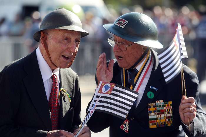
First: Paulista Soldiers in trench during the Revolution of 1932. Second: Paulista veterans. Third: Memorial to the Paulista soldier.
Brazil sent troops to fight in the WWII, as It had done 30 years before in the WWI. Due to the persecution of Jews in Central-Eastern Europe, many Ashkenazi Jews started arriving in the state by the 1940's. Immigration and migration of Paulistas from other towns, the coffee industry, and modernization through the manufacturing of textiles, car and airplane parts, as well as food and technological industries, construction, fashion, and services transformed the greater São Paulo area into a thriving megalopolis and one of the world's richest.
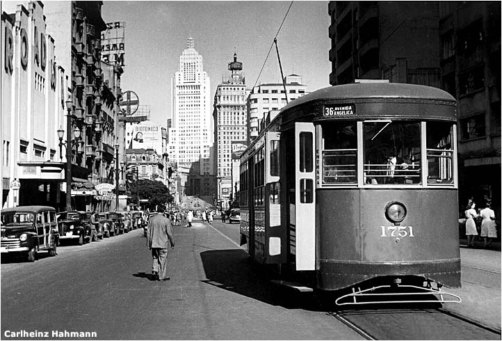
São Paulo city in the early 1940's
Culture
São Paulo state is a cosmopolitan region, due to its history as a land influenced by the encounter of different traditions, beginning with the Tupi-Guarani native American nation and others, the arrival of Iberian settlers and the traffic of enslaved Africans. In the 19th and early 20th centuries many Italians, Germans, Spanish, Portuguese, Japanese, and Middle-Eastern immigrants also made their way to São Paulo, adding new features to the local culture. The local dialect of São Paulo seems to have influence from Venetian, Lombard, Calabrian and Neapolitan Italian dialects, and many of the words peculiar to the region are actually archaic Portuguese forms.
The Paulista cuisine had many influences such as Italian, Portuguese, Spanish, German, Japanese, Amerindian and African. The local food is known for being tasty and abundant. It expresses itself through fried or barbecued caw and pork beef steaks, fried eggs, couve (collard green), cabbage, manioc or corn flour, frango Caipira (fresh baked or pan-seared farm nonfrozen chicken) or frango a Passarinho (fried small chicken pieces), fried breaded sardine or fish fillet, pork chops or whole baked pork with plenty of smooth ot Boston type lettuce or thinly tossed cabbage, and tomato, seasoned with garlic, lemon, and onions salty juice. Italian food is very popular in São Paulo, pasta, pizza, polenta macarronada, or spaghetti are always present on Paulista sunday luncheons.
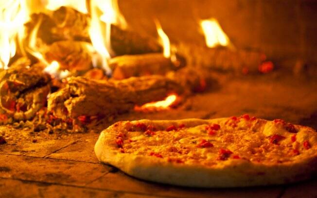
First: Virado à Paulista, a pork-based meal. Second: Pizza. São Paulo is widely knonw for its Pizza, considered the third best in the world.
As for desserts, São Paulo has pudim de leite (milk pudding), pavê (mounted cookies in rich condensed and heavy cream sauce) and manjar (white flan) are other mouth-watering treats. If none of these desserts are present, countryside meals will rarely leave out citrics such as oranges and mexericas, bananas, caquis or abacaxi (pineapple). Home-made loaves or regular bakery fresh rolls with butter or corn meal or orange cakes are served with coffee and milk or mate tea in the afternoon before dinner or before bed.
Another distinctive character in the state of São Paulo is the so-called "Brazilian erudite culture." São Paulo was the home of the Brazilian Week of Modern Art (Semana da Arte Moderna), organized mostly by poets and artists from São Paulo, like Mário de Andrade, Oswald de Andrade, Menotti del Picchia, Tarsila do Amaral and Anita Malfatti, Victor Brecheret, Cândido Portinari and Lasar Segall. São Paulo was also the birthplace of Brazilian classical composers, like Carlos Gomes (the most famous Brazilian opera composer), Elias Álvares Lobo and Camargo Guarnieri.
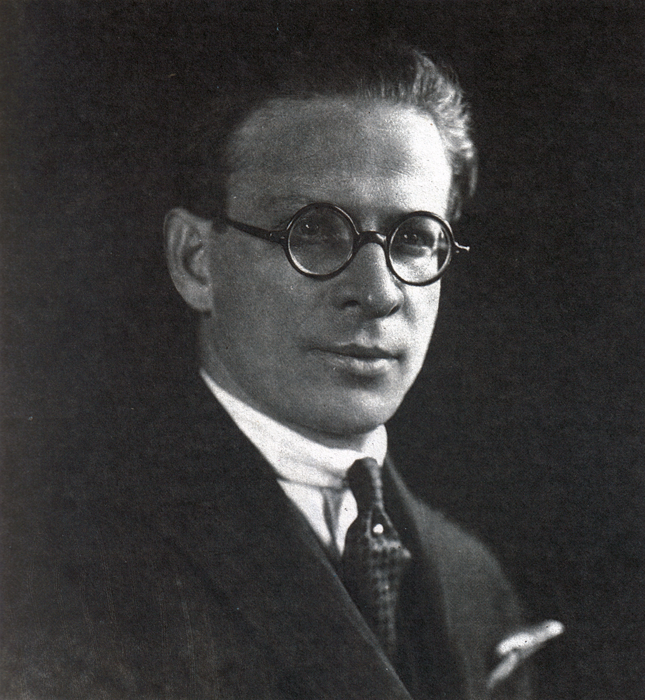
Two famous Paulista writers: Oswald de Andrade (first) and Menotti del Picchia (second)
Two famous Paulista painters: Cândido Portinari (first) and Lasar Segall (second)
São Paulo music is not only known for its erudite charatcter, but also by its strong tradition in Rock, Metal and Brazilian country music, called "sertanejo", which originated in the early 20th century as a way to express the rural life in the countryside of São Paulo.
First: Angra, famous Paulista Heavy-Metal band. Second: Sérgio Reis, famous sertanejo (country) Paulista singer.
The Museu de Arte de São Paulo or MASP on Avenida Paulista is the most important Latin American collection of European paintings, and the Pinacoteca do Estado on Avenida Tiradentes exhibits paintings and sculptures. The Museu de Arte Sacra in the same avenue features national Barroc art and an Italian nativity scene, besides having in the chapel next door, the tomb of Frei Galvão, the first Brazilian saint. Across from Pinacoteca is the Luz station built in Britain and assembled in Brazil with the innovating Museu da Língua Portuguesa, the first interactive language museum in the world. Ibirapuera park features Museu do Presepio or Creche museum, AfroBrasil, the African-Brazilian museum, Bienal book and art fair site conducted every two years. The city of São Carlos in the center of the state has the Museu do Avião, an open airplane museum, and Campinas, Ribeirão Preto, Bauru, Sao José do Rio Preto, Piracicaba, Jaú, Marilia, Botucatu, Assis, and Ourinhos are important university, engineering, agricultural, zootechnique, technology, or health sciences centers. The Instituto Butantan in São Paulo is a serpentary that collects snakes and other poisonous animals, as it produces venom antidotes. The Instituto Pasteur produces vaccines. The state is also at the vanguard of ethanol production, soybeans, airplanes in São José dos Campos, and its rivers have been important in generating electricity through its hydrelectric plants.
Sports
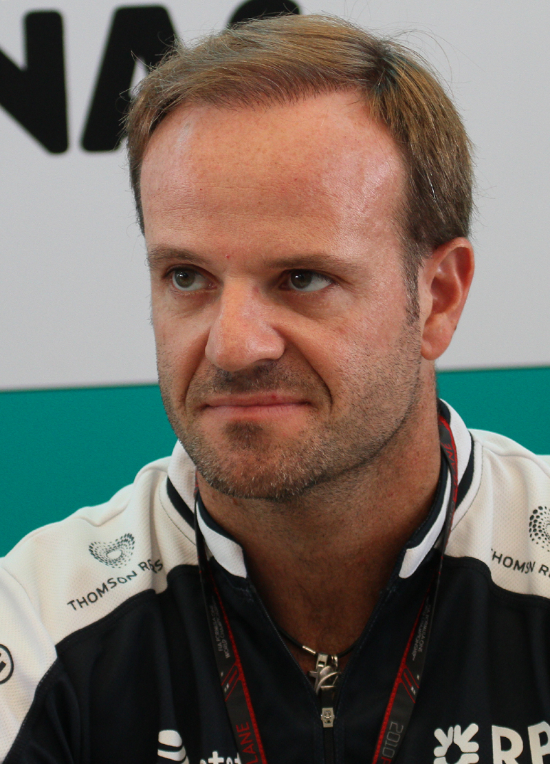
Football is the most popular sport in the state. The biggest clubs from the state are Palmeiras, São Paulo, Santos, Corinthians, Guarani, Portuguesa, Juventus, Ponte Preta, XV de Piracicaba. Other sports like Basketball and Volleyball are also quite popular. In basketball, famous Brazilian players such as Hortência Marcari, "Magic" Paula and Janeth Arcain are from São Paulo. Many of the internationally recognized racing drivers, like Emerson Fittipaldi, Ayrton Senna, Rubens Barrichello, Hélio Castroneves and Felipe Massa are also from São Paulo.
São Paulo did host the opening game in the 2014 FIFA World Cup, that taken place in Brazil.
The São Silvestre Race takes place every New Year's Eve in São Paulo. It was first held in 1925, when the competitors ran about 8,000 metres across the streets. Since then, the distance raced has varied, and it is now fixed at 15 km. Registration takes place from 1 October, with the maximum number of entrants limited to 15,000. In 1989, The São Silvestre Race became two races, the masculine and the feminine competition. There is also a children's race called São Silvestrinha.
First: Cesar Cielo, Paulista swimmer. Second: Ayrton Senna, one of the most famous F1 racers.
The Brazilian Grand Prix (Portuguese: Grande Prêmio do Brasil) is a Formula One championship race which occurs at the Autódromo José Carlos Pace in Interlagos, São Paulo. In 2006 the Grand Prix was the final round of the FIA Formula 1 World Championship. The Spanish driver Fernando Alonso won the 2006 drivers championship at this circuit by coming second in the race. The race was won by the young Brazilian driver Felipe Massa, driving for the Scuderia Ferrari team.
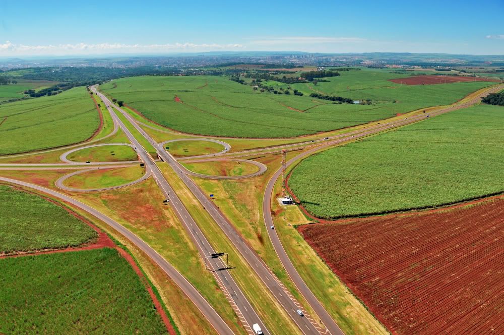
Economy
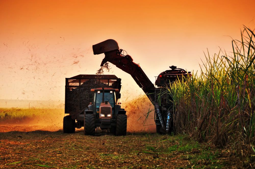
The service sector is the largest component of GDP at 47.2%, followed by the industrial sector at 46.3%. Agriculture represents 6.5% of GD. São Paulo (state) exports: vehicles 17.2%, airplanes and helicopters 11.6%, food industry 10%, sugar and alcohol fuel 7.8%, orange juice 5.2%, telecommunications 4.1%.
São Paulo state is responsible for approximately a third of Brazilian GDP. The state's GDP (PPP) consists of 1,003 billion dollars, making it also the biggest economy of South America and one of the biggest economies in Latin America, second after Mexico. Its economy is based on machinery, the automobile and aviation industries, services, financial companies, commerce, textiles, orange growing, sugar cane and coffee production.
First: Embraer EMB-190 in the Embraer Facility in São Josér dos Campos, countryside of São Paulo. Brazil is one of the countries to produce and export aircrafts in the world.
Second: Volkswagen factory in the countryside of the state.
Wealth is unequally distributed in the state, however. The richest municipalities are centered around Greater São Paulo (such as Campinas, Jundiaí, Paulínia, Americana, Indaiatuba, São José dos Campos, Santos, etc.), as well as a few other more distant nuclei, such as around São Carlos, Jaú, Ribeirão Preto, São José do Rio Preto and Franca.
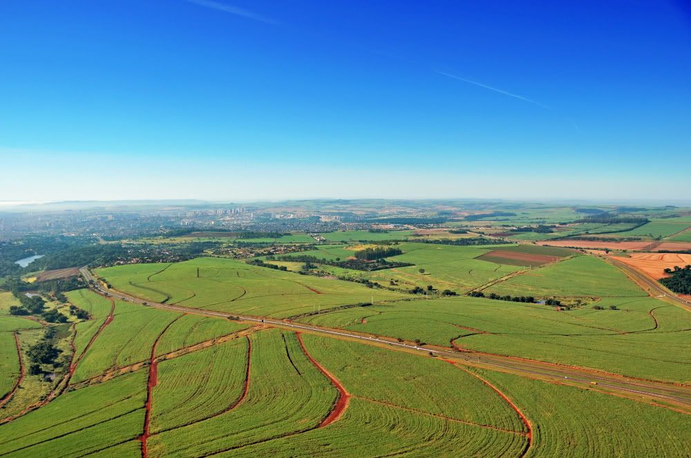
Sugar cane farm in Ribeirão Preto.
São Paulo, one of the largest economic poles in Latin/South America, has a diversified economy. Some of the largest industries are metal-mechanics, sugarcane, textile and car and aviation manufacturing. Service and financial sectors, as well as the cultivation of oranges, cane sugar and coffee form the basis of an economy which accounts for 33.9% of Brazil's GDP (equivalent to $727.053 billion).
Last edited by Smaug; 10-27-2014 at 02:36 PM.
| Thumbs Up |
| Received: 12,173 Given: 7,962 |
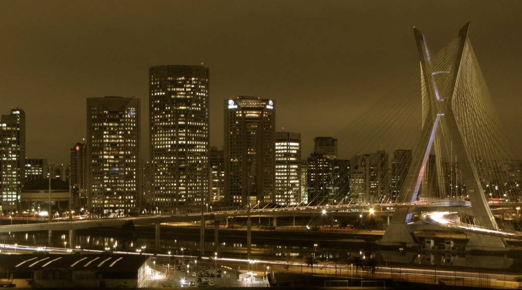
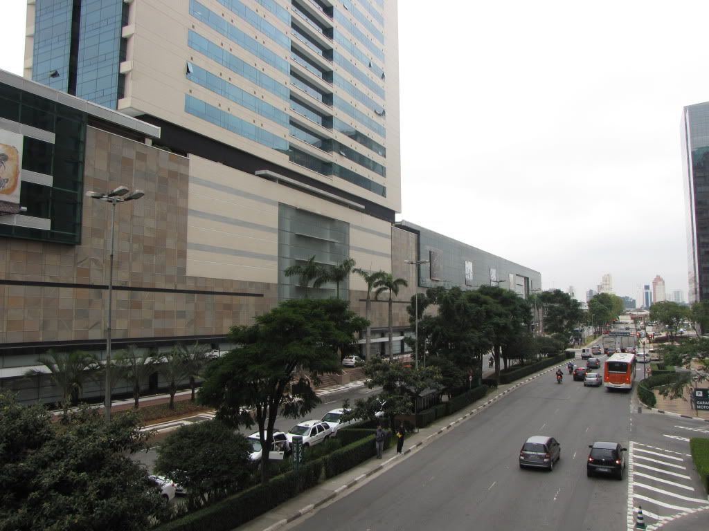
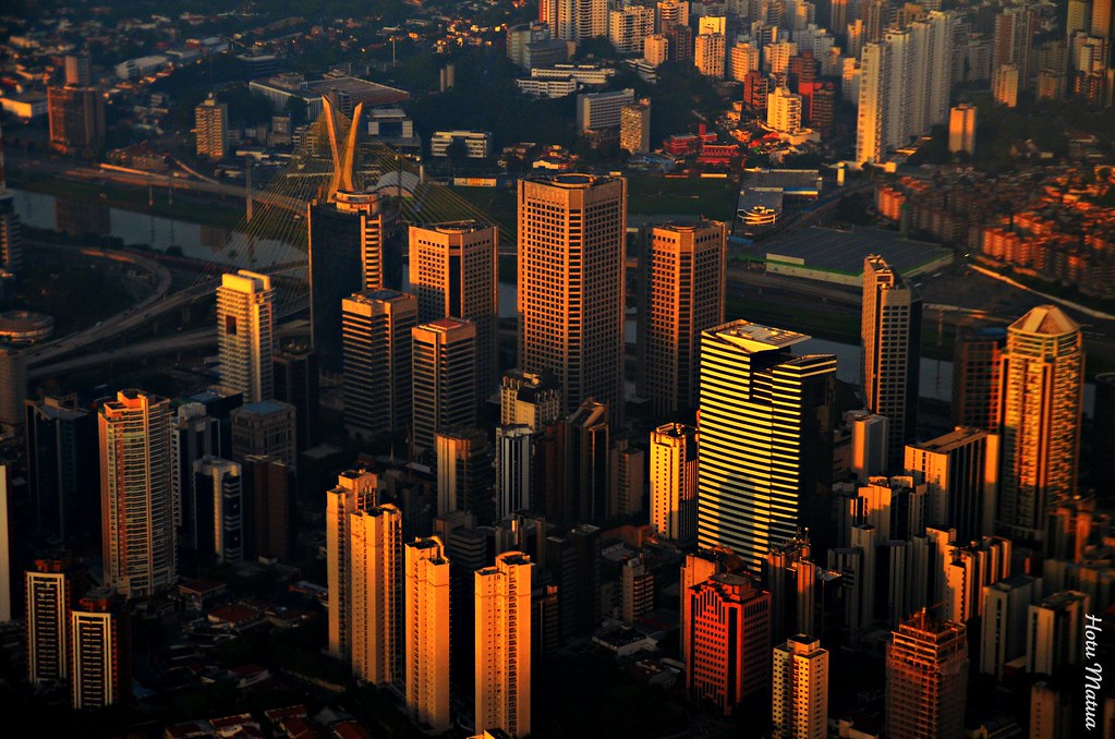
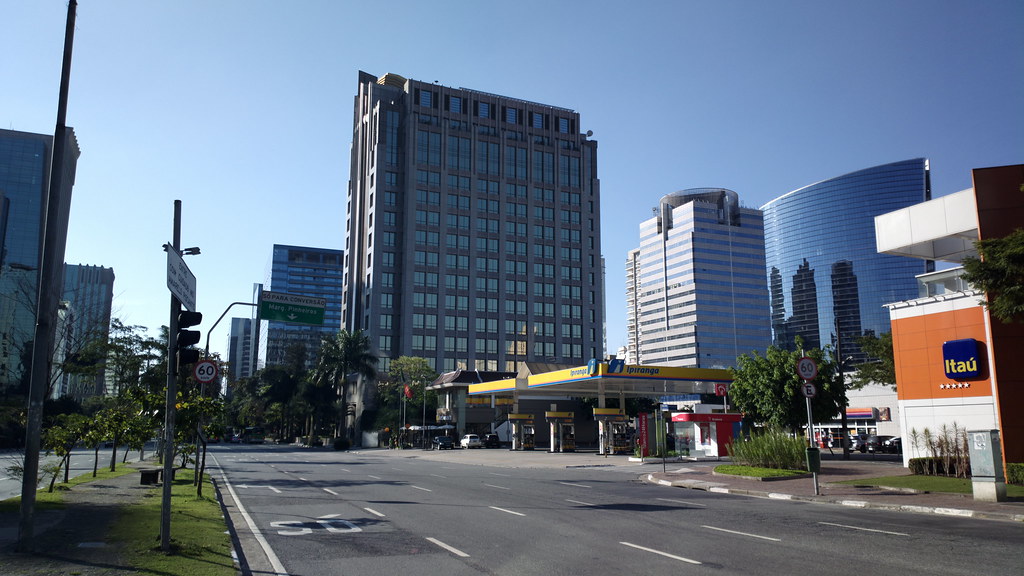
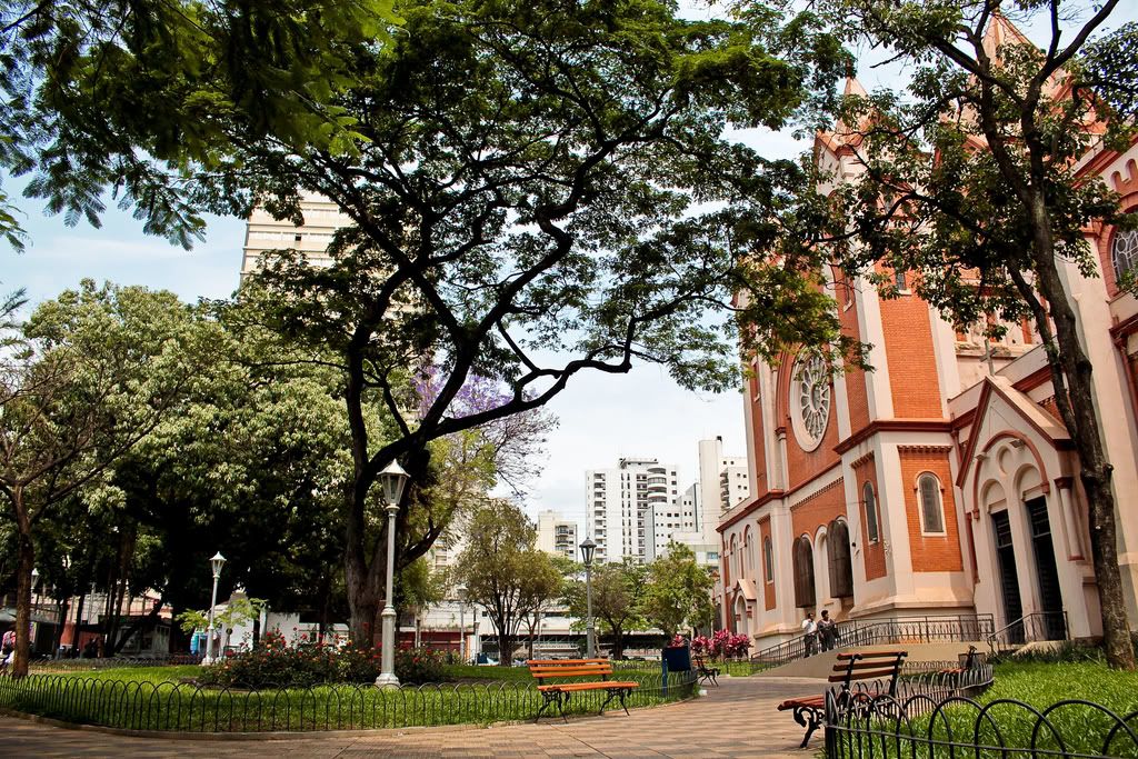
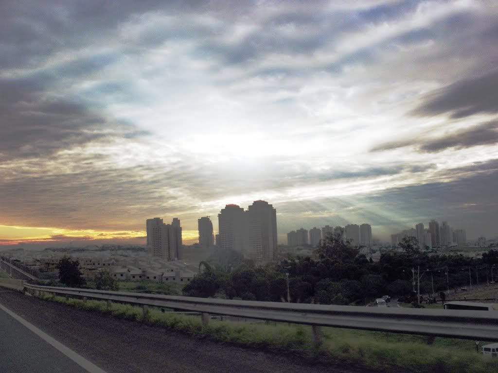
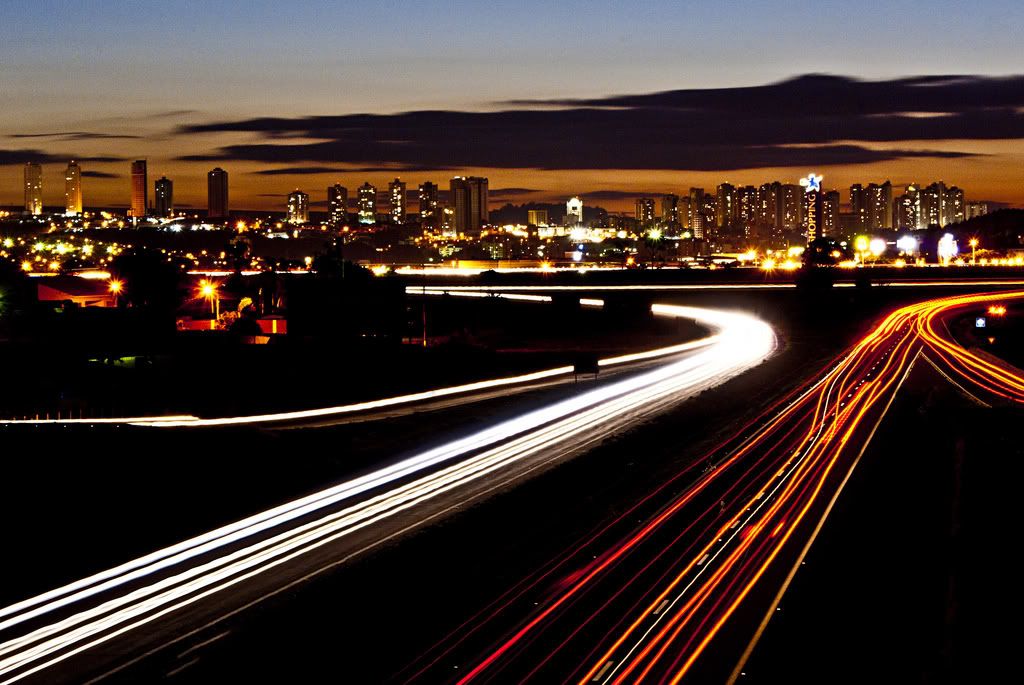
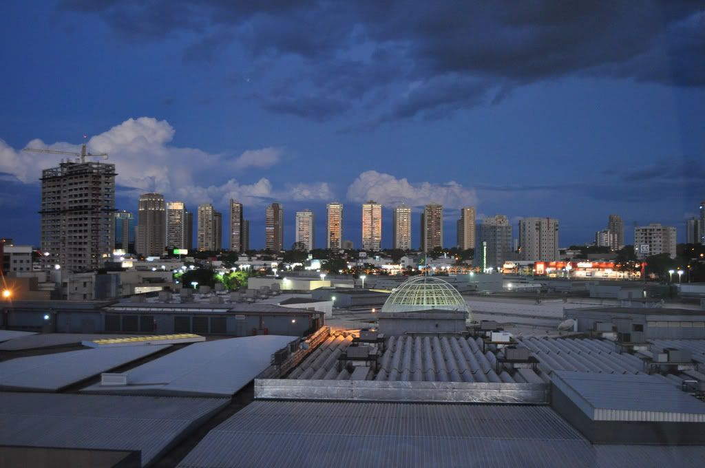
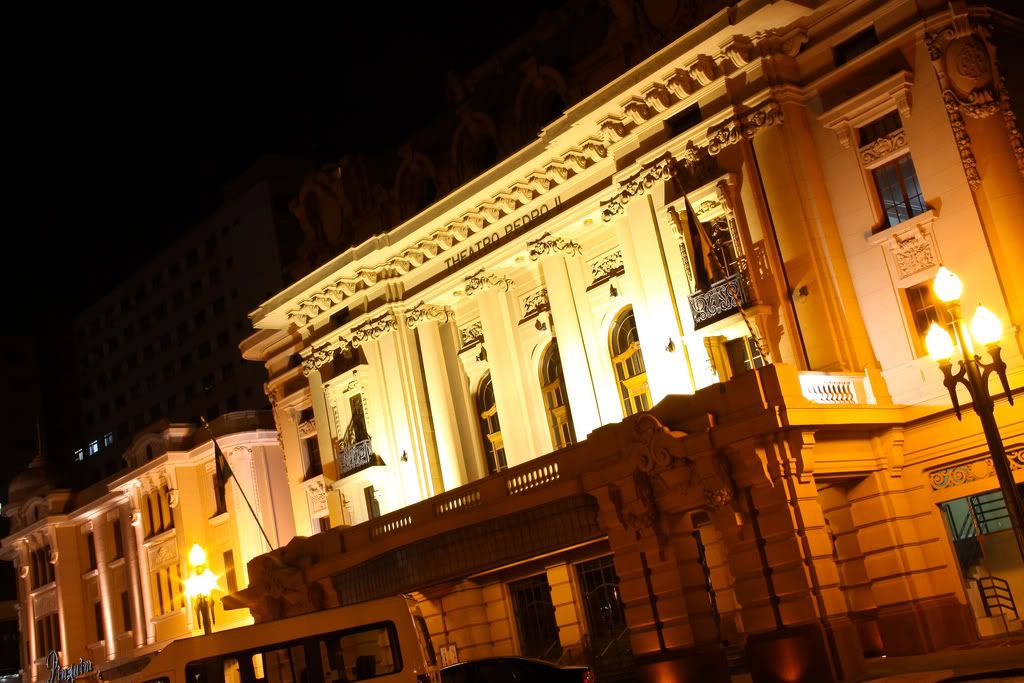
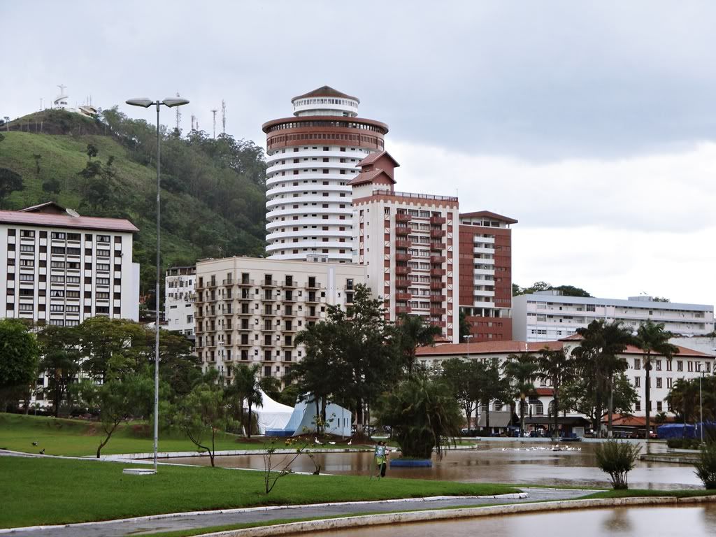
São Paulo City – capital city of the state of São Paulo, Brazil
Population 11.821.876 Elevation 780m
São Paulo is the 7th largest city in the world, and the largest and richest on the Southern Hemisphere. São Paulo’s PIB represent 13% of all the PIB of Brazil, and it is considered an Alpha World City by the Globalization and World Cities Study Group & Network (GaWC).
The city is famous for its huge Italian community, that represents about half of the population of the city, being the other half divided in descendants of Portuguese, Germans, Swiss, British, Spanish, Eastern Europeans, Ashkenazi Jews, as well as other non-Euro groups like Japanese, Koreans, Chinese, Arabs, Pardos, Bolivians and Blacks. It is the city with more Italians, Portuguese, Spanish, Japanese and Arabs outside their respective countries.
Since it is located on the Brazilian Highlands, the city enjoys a Subtropical climate, being a transition between the Tropical and Temperate climates. Temperatures go as low as 2ºC, sometimes with negative temperatures in winter, and as high as 33º during summer. It resembles the climate of Southeastern Australia or the Pacific USA.
Nações Unidadas Financial Centre:
Paulista Brooklin:
Paulista Avenue:
Random Houses:
Ibirapuera Park:
Vila Olímpia District:
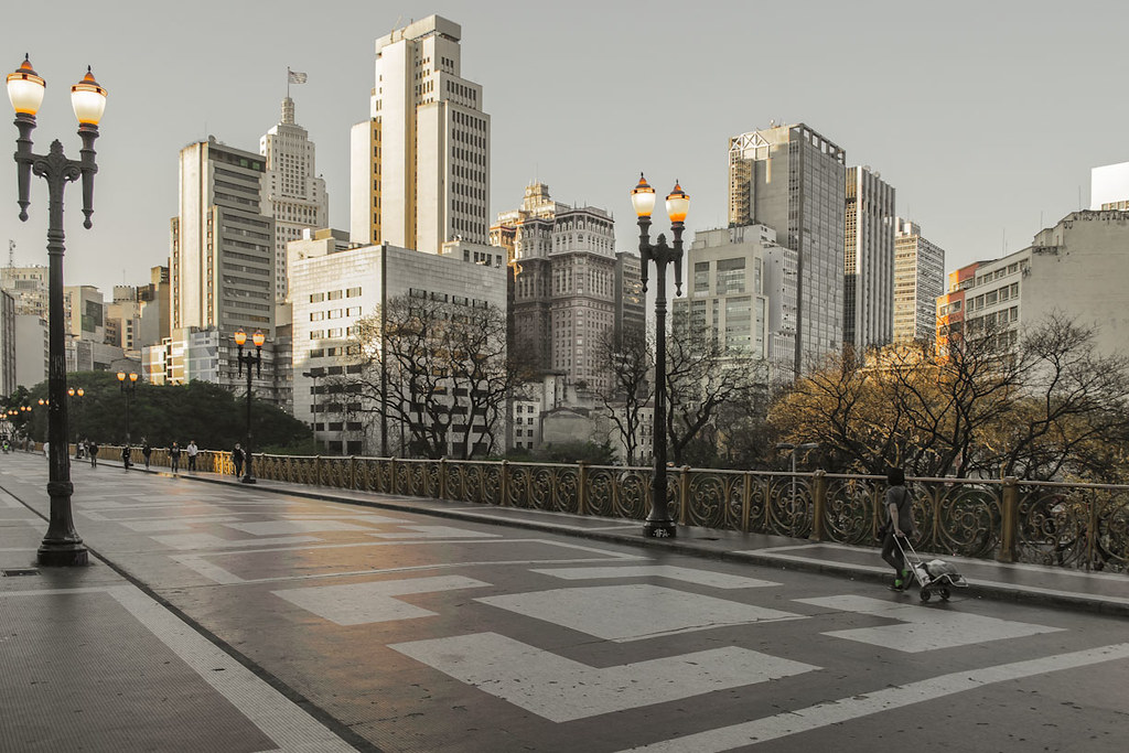
Sé Cathedral:
São Paulo Old Downtown:
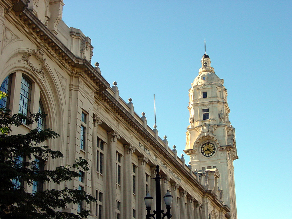
Train Stations:
| Thumbs Up |
| Received: 12,173 Given: 7,962 |
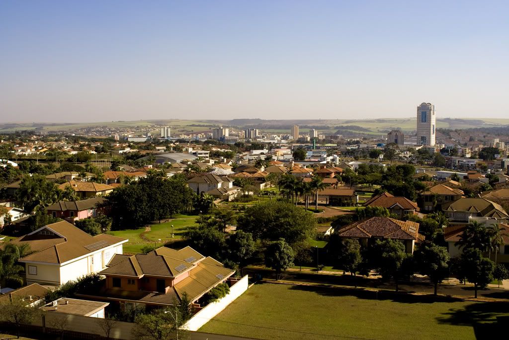
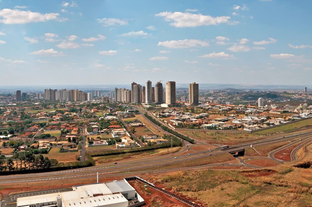
Ribeirão Preto
Population 649.556 Elevation 546 m
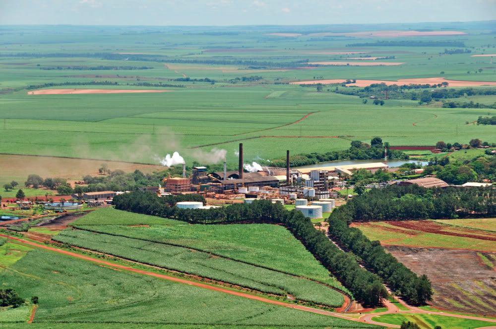
This is the region of the state where my family is from. Ribeirão Preto (Portuguese for Black River or Black Stream) is a municipality and city in the Northeastern region of the state of São Paulo in Brazil. It is nicknamed Brazilian California, because of a combination of an economy based on agrobusiness plus high technology, wealth and sunny weather all year long. Ribeirão Preto's major products are orange juice, cotton, rice, meat, dairy products, textiles, machinery, steel, furniture, building materials, agrochemicals, pharmaceuticals and beer. The city hosts "Agrishow" on an annual basis, this show being one of the most important agricultural trade shows in Brazil.
The city was originated around 1856 as the region received many miners that had left their already depleted lands because of the mining, looking for pastures for cattle. In the beginning of the 20th century the city began to attract immigrants from many countries that came to work in the agriculture or in the recently opened industries. There is a huge Italian community in the city, as well as Lithuanian and British.
The city’s average temperature throughout the year is 20ºC. The climate of Ribeirão Preto is highland tropical to subtropical, specifically a tropical wet and dry climate, with common accurrence of frost during winters.
Farms around the city
Downtown
Suburbs
Parks
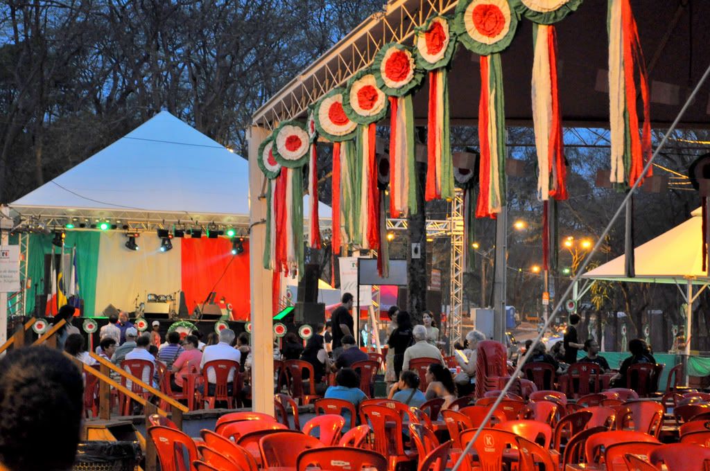
Italian Festival
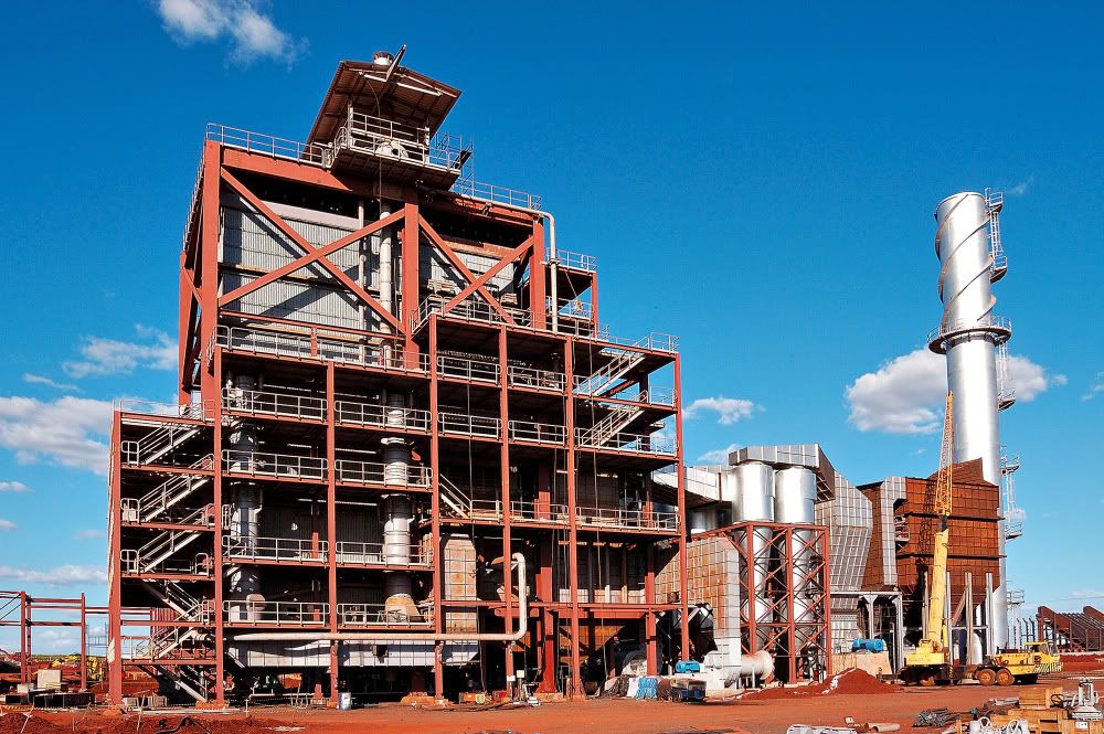
Industries
Last edited by Smaug; 06-30-2014 at 02:42 PM.
| Thumbs Up |
| Received: 12,173 Given: 7,962 |
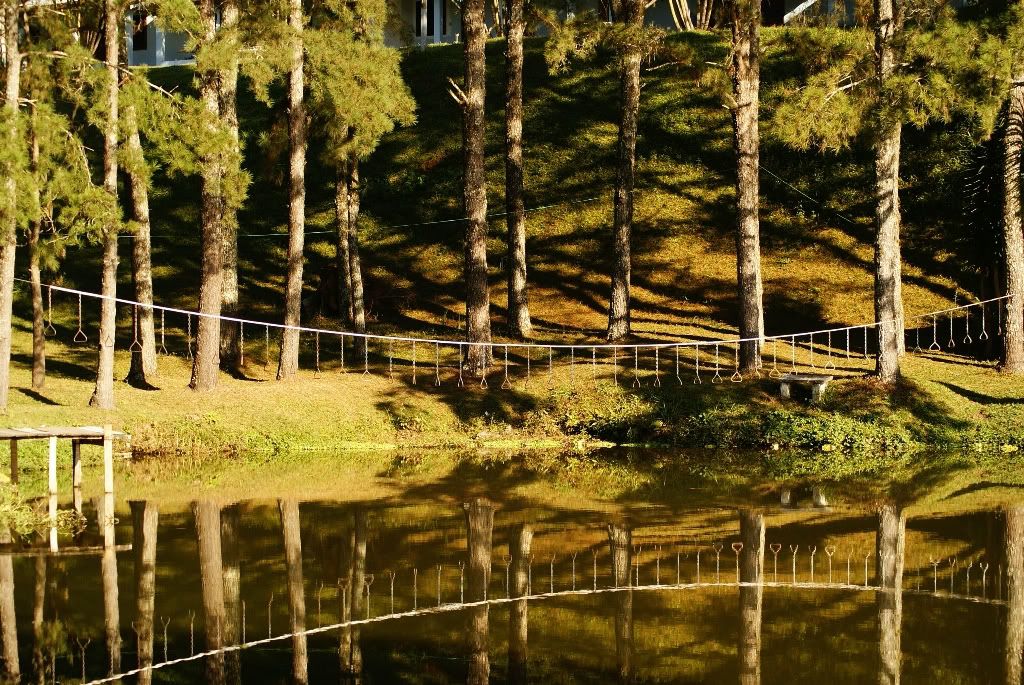
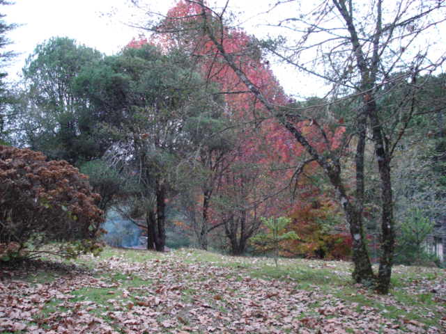
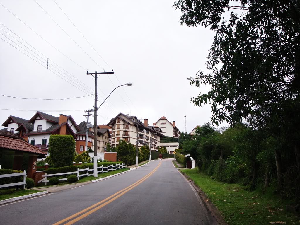
Mantiqueira Mountain Range and Campos do Jordão
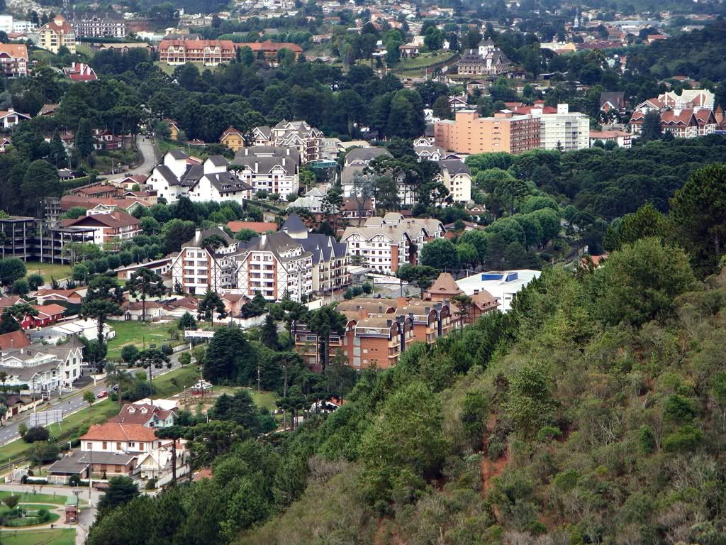
Population 49.512 Elevation 1.639,2 m
The Mantiqueira Mountain Range is by far, my favourite part of the countryside of São Paulo and of the Brazilian Highlands. It is the coolest and the highest part of it, where some of the highest elevations of Brazil are located, like the Pedra da Mina Mountain with 2.800m, the highest mountain in the state of São Paulo.
This Mountain Range goes across the states of São Paulo, Minas Gerais and Rio de Janeiro, but in this post I'll only show the São Paulo part, because I know it better. I'll also post some pics of Campos do Jordão, the highest city in Brazil, and one of the coolest of the country, and the coolest of São Paulo.
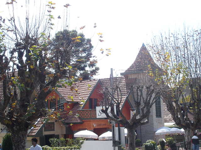
The place is marked by the European influence, mainly German, Araucaria pines, as well as breathtaking landscapes. If you ever come to São Paulo, visit those Mountains!
The Mountains
Campos do Jordão town

| Thumbs Up |
| Received: 12,173 Given: 7,962 |
Mantiqueira Mountain Range and Campos do Jordão (Continued)
Woods
Cold and Snow

Last edited by Smaug; 07-26-2014 at 05:55 PM.
| Thumbs Up |
| Received: 12,173 Given: 7,962 |
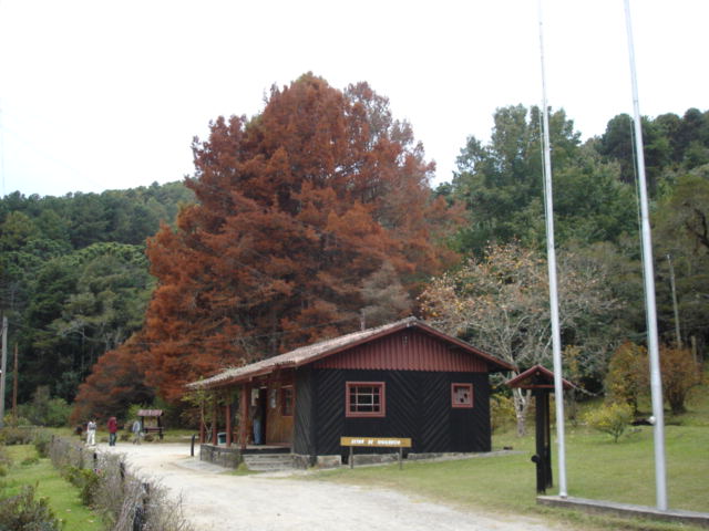
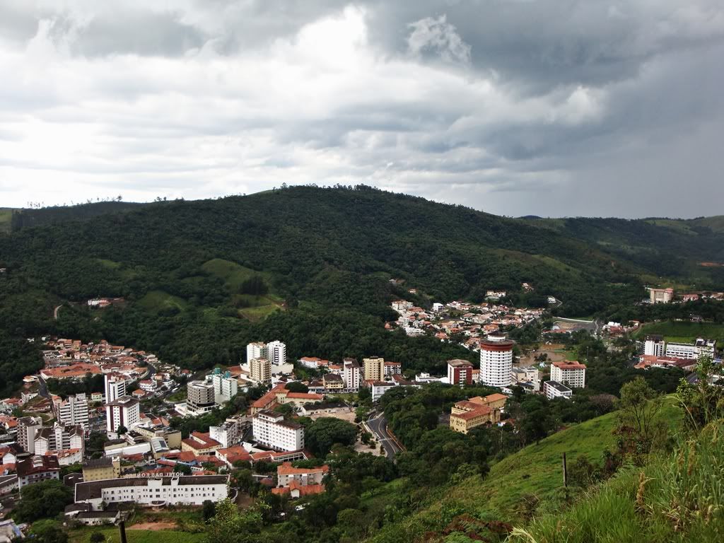
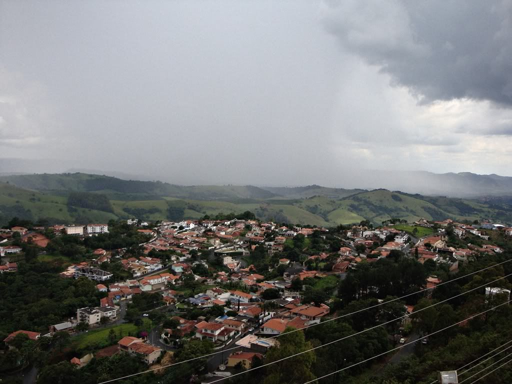
Serra Negra
Population 26.362 Elevation 970 m
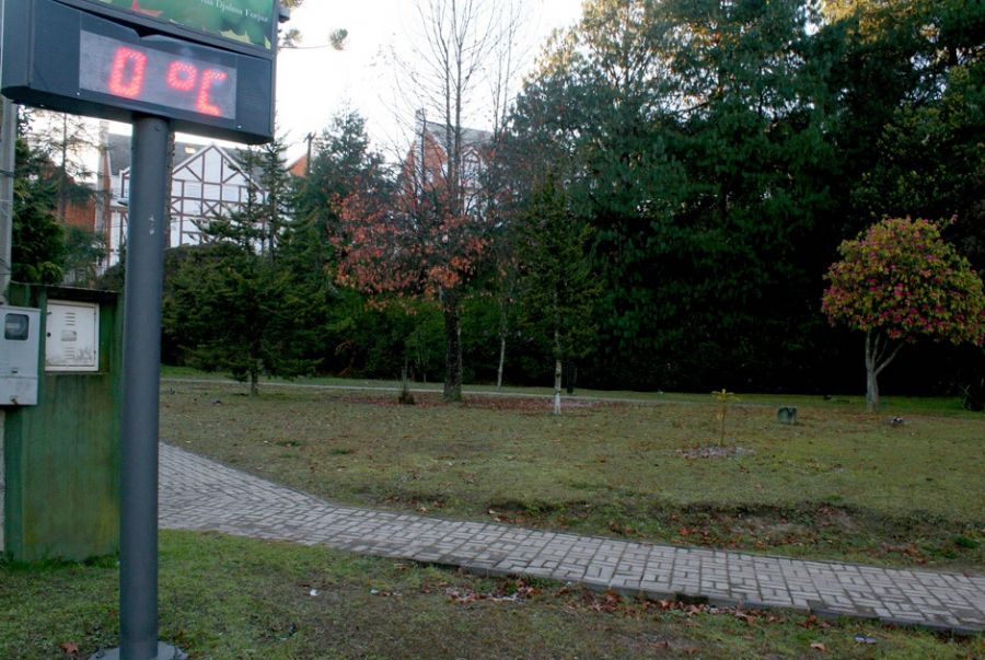
Serra Negra, that means “Dark Mountains” in Portuguese, is a very charming mountain city in the countryside of the state of São Paulo, very known for it’s Winter Festival, since the city is very cold (0 to 1ºC), and also for it’s Harley Davidson Owners Meeting.
Another nice fact about the city is its the Italian community. The Italian influence can be seen on the architecture, dialect and on the local people. Personally, it is one of my favourite locations in the paulista countryside and in the Brazilian Highlands as a whole.
Monument to the Italian Immigrant:
Church. What a view.
City Panorama:
Cable car:
Downtown and Central Square
Mountains and Fog. It looks like the Scottish Highlands, but it's actually the Brazilian Highlands

Last edited by Smaug; 10-27-2014 at 02:38 PM.
| Thumbs Up |
| Received: 12,173 Given: 7,962 |
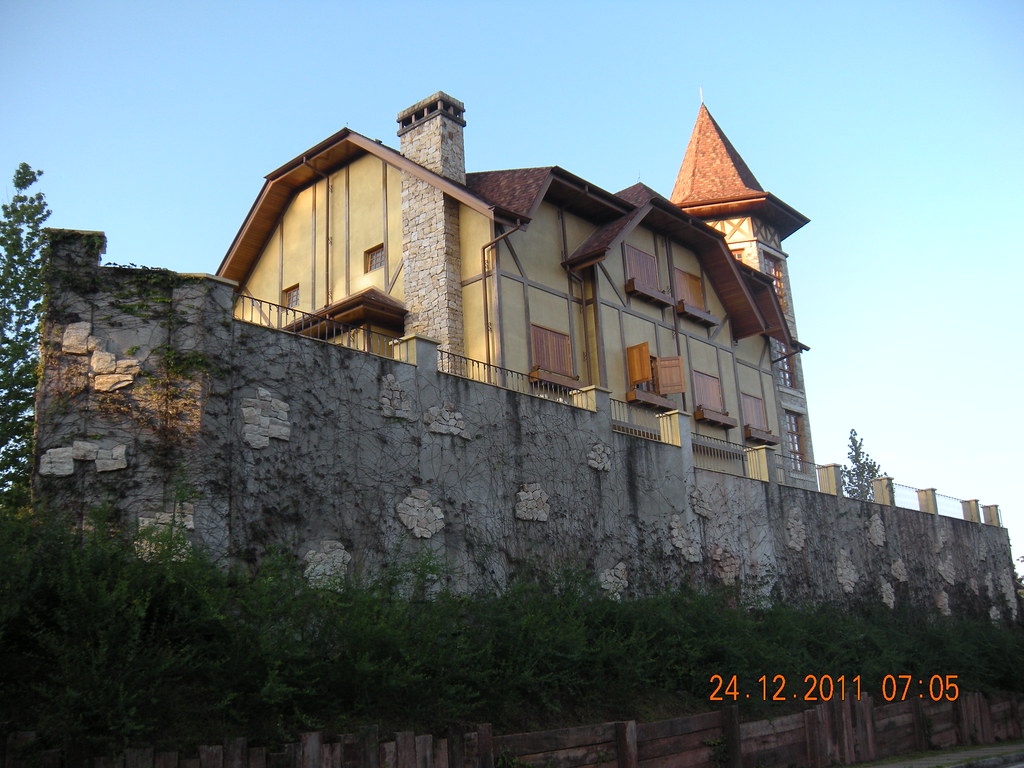
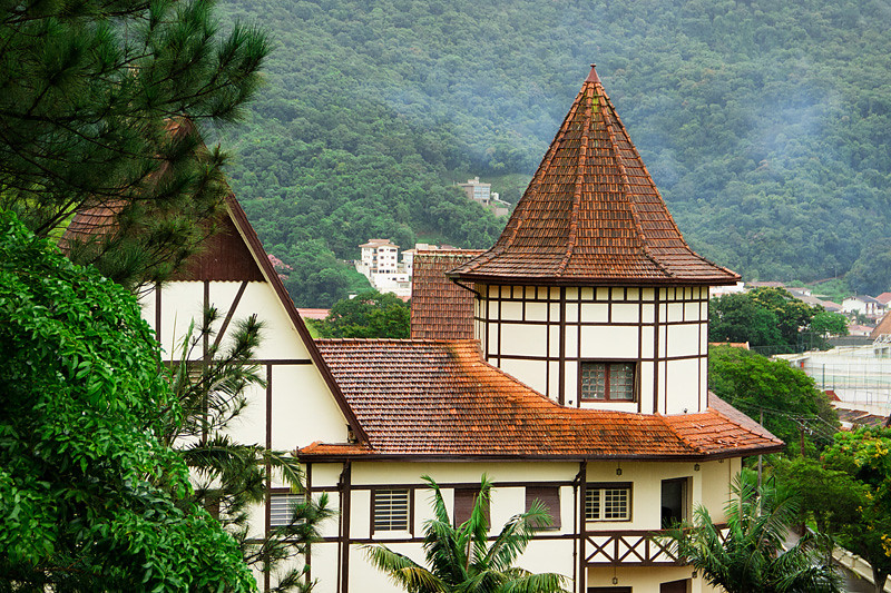
Águas de Lindóia
Population 17.261 Elevation 945 m
Another town in the Brazilian Highlands, countryside of São Paulo. The city, whose the name means "Waters of Lindoia" is famous for its natural Water springs and fountains and for its good air.
There are two funny facts about it. First: even though it is a small town, the city has "skyscrapers". Second: the skyscrapers were built in Timber Framing German style.
City Gate:
The Town:
Highlands View:
Old Cars Owners Meeting:

Last edited by Smaug; 10-27-2014 at 02:39 PM.
There are currently 1 users browsing this thread. (0 members and 1 guests)
 Posting Permissions


 Reply With Quote


.JPG)


Bookmarks