


1


| Thumbs Up |
| Received: 19,523 Given: 37,001 |
For a very last time, I'm doing again a last remake of the thread of this state, for the same reason I had to do it with the states of Miranda, Libertador Municipality and Aragua: too many pics per page without spoilers, with the very likely result that almost nobody is going to see most of the uncompressed pics in so many pages. So, I'm just going to copy and paste the posts of the previous thread, but compressing the pics in spoilers, with the pics occupying less pages, to make it easier for readers to follow the thread, and see (maybe not all pages) much more than what they would be willing to if they had to navigate through tons of uncompressed pics in many pages.
Also, after finishing the copy and paste stage, I will post some other new pics from other schools and high schools from this state that I haven't posted yet.
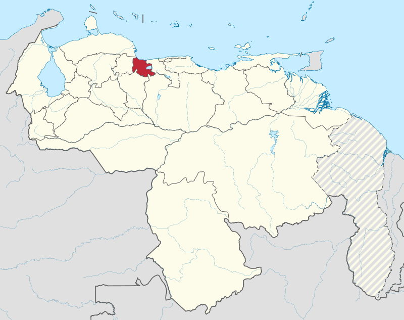
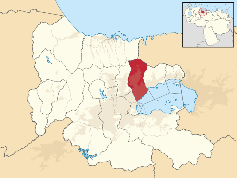
Location of Carabobo state within Venezuelan territory:
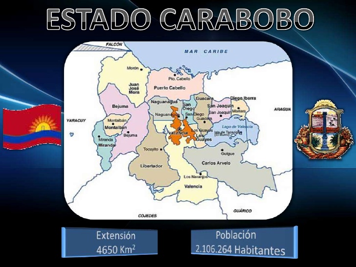
Map of the different municipalities of the state, with their respective capitals, so you can look up the locations of pics and videos:
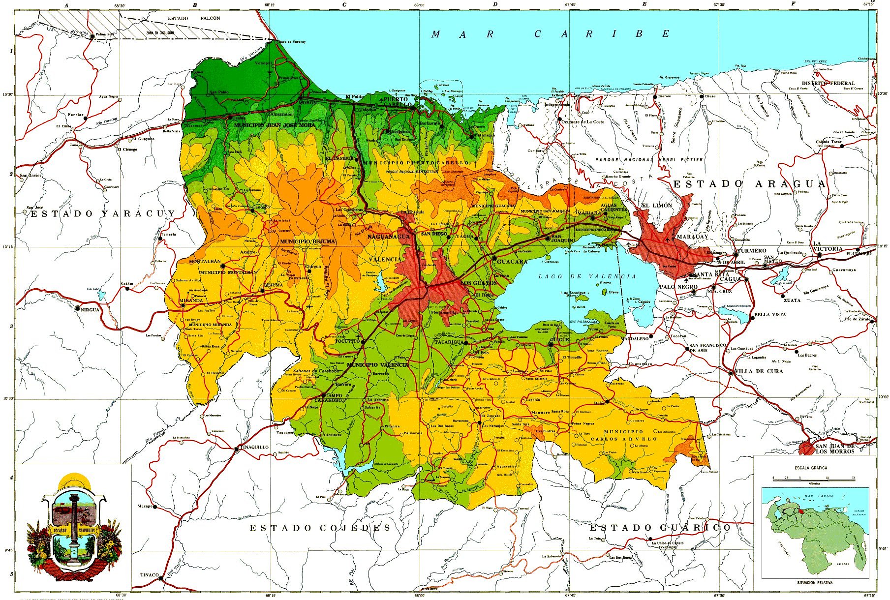
Relief map of the state:
As in Miranda and Aragua, the coastal range in the north, the interior mountain range (serrania del interior) in the south, and a central depression (lake of Valencia's depression) in the middle. The only difference with Miranda and Aragua is that the southern range (yellow colored relief in the south) ends (or start) south of Valencia (that's its westernmost tip), while the coastal range (yellow/orange colored relief in the north) makes like a slight turn in southwest direction west of Valencia, forming what is known as the Nirgua's massif (macizo de Nirgua), which is a mountain massif (mountainous highlands) that spreads between western Carabobo and southeastern Yaracuy (Yaracuy is the state limiting with Carabobo on its west).
The open (green colored) depression (which has actually a wavy relief, with some hills) southwest of Valencia, is lands that very gradually decrease their altitude as you move southwest towards the Venezuelan llanos (south of Carabobo). In southern Valencia and surroundings the average altitude is around 450-500 meters above sea level, and as you move in southwest direction through that open (between the end of the southern range in the east/southeast, and the Nirgua's massif in the the west/northwest) the altitude above sea level decreases very gradually, yet while still within Carabobo state, the average altitude stays above 400 meters above sea level (and even the city of Tinaquillo, outside of the limits of Carabobo, and in northeastern Cojedes, is still at around 400 meters above sea level), and the altitude above sea level only drops to around 169 meters above sea level in the town of "Tinaco" (also in the state of Cojedes) very to the southwest and also outside of the borders of Carabobo, as it can be seen in the very southwestern corner of the map. There is like a step hill drop when you go on the road passed Tinaquillo down to Tinaco (all that within Cojedes state, in the bottom left corner of the map). Just wanting to explain that that corridor is not a flat low land, but has an altitude of above 400 meters above sea level within Carabobo's limits (reaching 500 meters and above around Valencia area), and only decreases its altitude very gradually as you go in southwest direction towards Cojedes state. This corridor was used as a strategic corridor by both patriots and royalists during the Venezuelan war of Independence, and that's why the Carabobo's battle took place in there (like 28 kilometers southwest of Valencia).
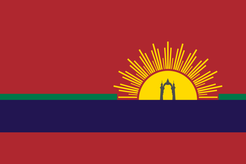
State flag:
State coat of Arms:
Carabobo state
Area: 4650 square kilometers.
Population: 2,843,161 inhabitants (2016 census). Is the third Venezuelan most populated state, just after Miranda and Zulia.
Average Altitude: 653 meters above sea level
Capital: Valencia (around 1,500,000 inhabitants). Valencia is the third largest and most populated Venezuelan city, after Caracas and Maracaibo.
It limits to the north with the Sad Gulf (Golfo Triste), that is part of the Caribbean sea, to the south with Guarico and Cojedes, to the east with Aragua and to the west with Yaracuy.
The battle of Carabobo, that sealed the independence of Venezuela, took place in this state, in a savanna of that name, located few miles southwest of Valencia, and as consequence of that, the whole state was named after that place name.
Valencia (the state capital) is a very industrial city, and there are also manufacturing/assembling plants in its satellite cities (like San Joaquin, Guacara and Los Guayos) located east of Valencia and to the north of Valencia lake, and that's why Carabobo is known to be a very industrial state (forgot to mention that Aragua, though at a bit less extent than Carabobo, is also a very industrial state, since the Araguan cities of Maracay, Cagua, Turmero, La Victoria and Tejerias, are also very industrial cities, and form, along with the cities of central Carabobo, like an industrial belt, that encompass several cities along the the Aragua Valley and the Valencia's lake depression).
Racial census (based on self declaration) (2011 census):
Racial composition Population %
Mestizo — 53.0
White 1,010,138 42.7
Black 82,798 3.5
Other race — 0.8
Again: people who declare themselves as "white" include castizos (people equal or above 70% Euro), and those who declare themselves as "mestizo" must be a mix of triracials and people who are/look like actual white/Amerindian mestizos.
Next posts will be about some landscapes of this state, and in the following posts after that, I will start posting pics and videos of schools, high schools and events from this state.
Thread opened...
Last edited by alnortedelsur; 01-12-2024 at 04:05 AM.
My Updated 23andme Results (2021)
My Updated AncestryDNA Results (2022)
My Global25 Coordinates (2020)
An Epic Thread about me opened by Profield
Originally Posted by Profileid

| Thumbs Up |
| Received: 19,523 Given: 37,001 |
Some pics from this state...
Spoiler!
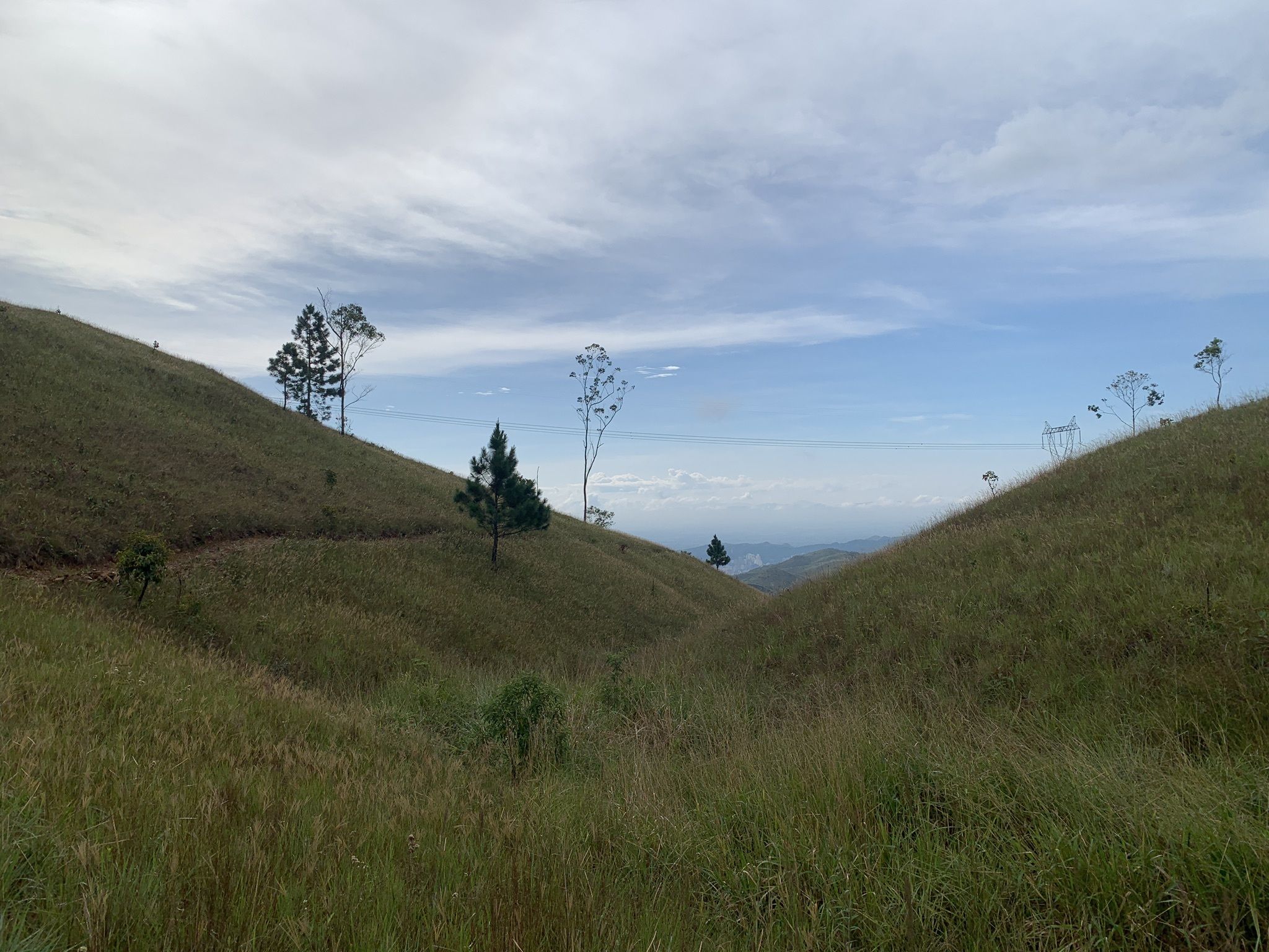
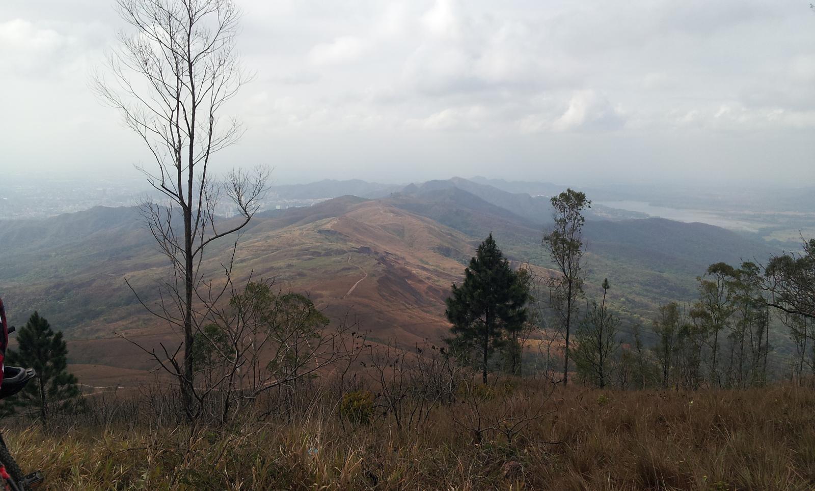
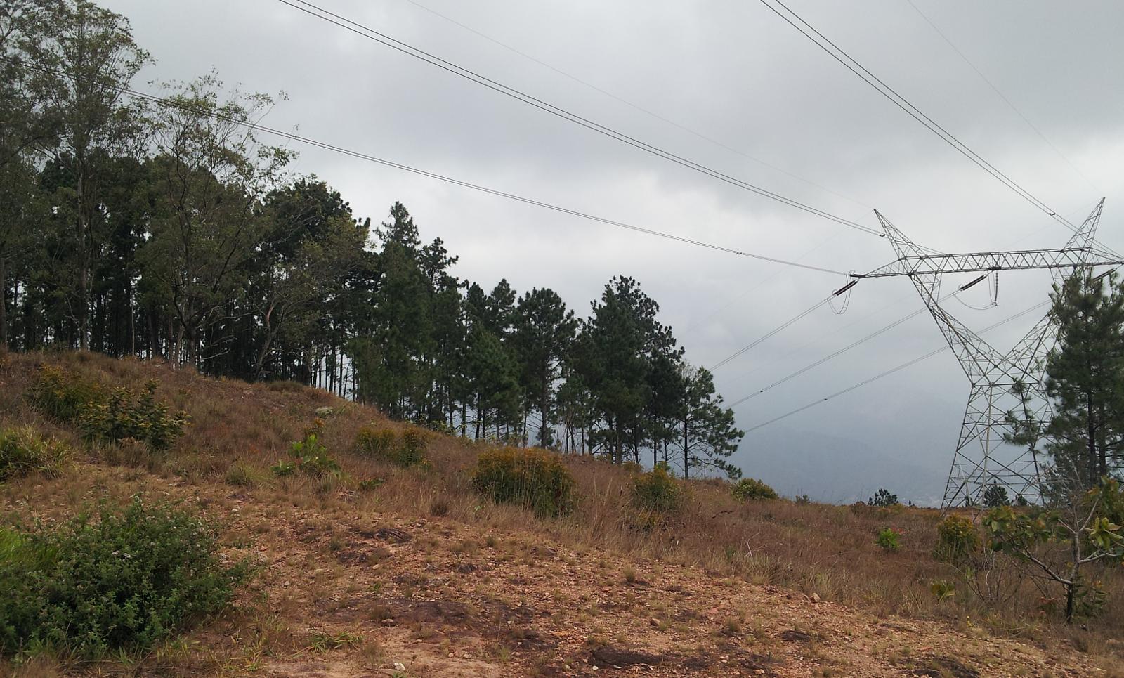
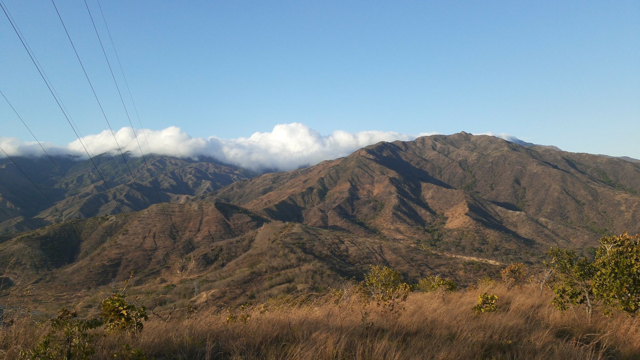
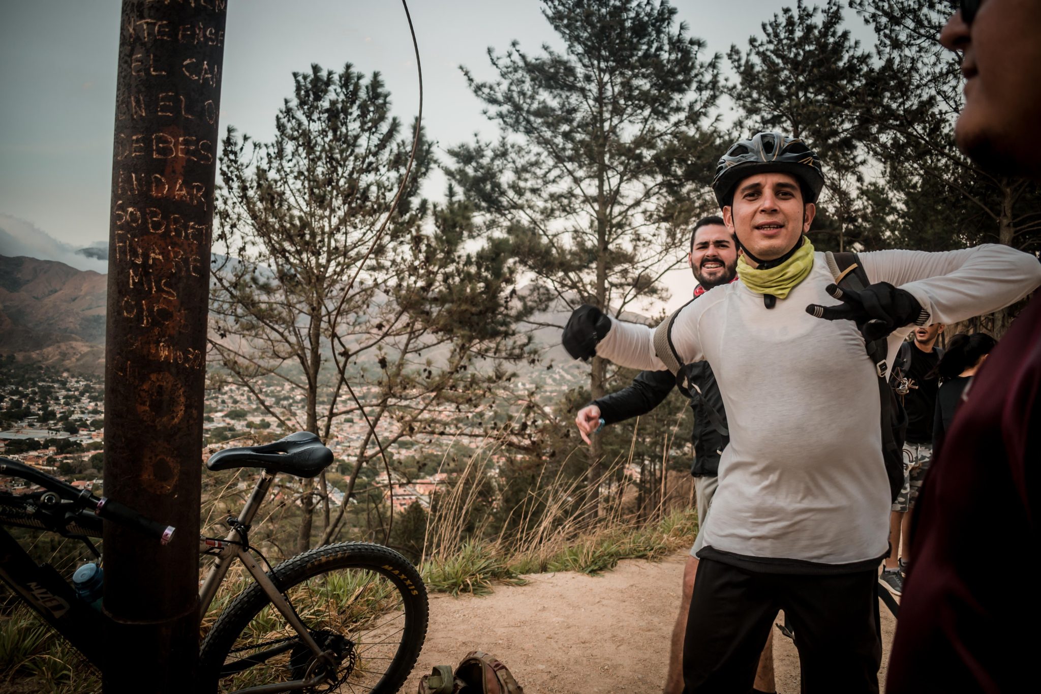
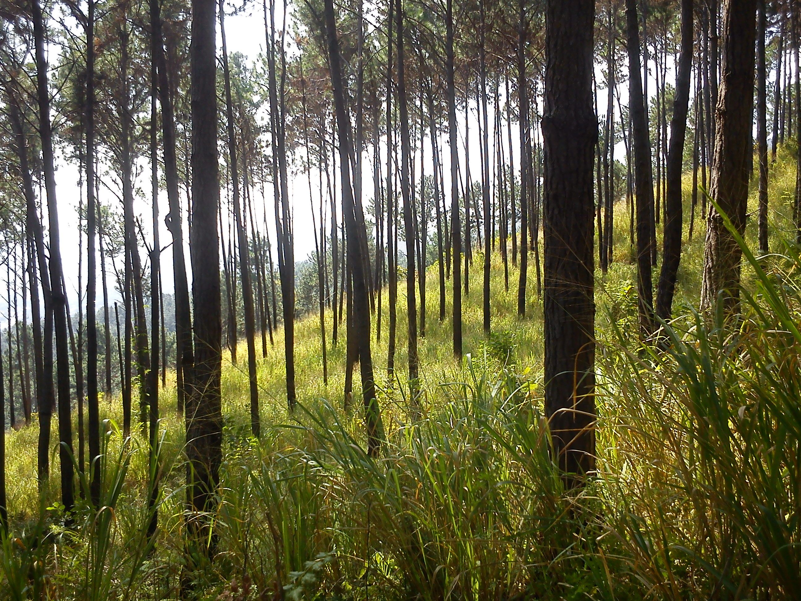
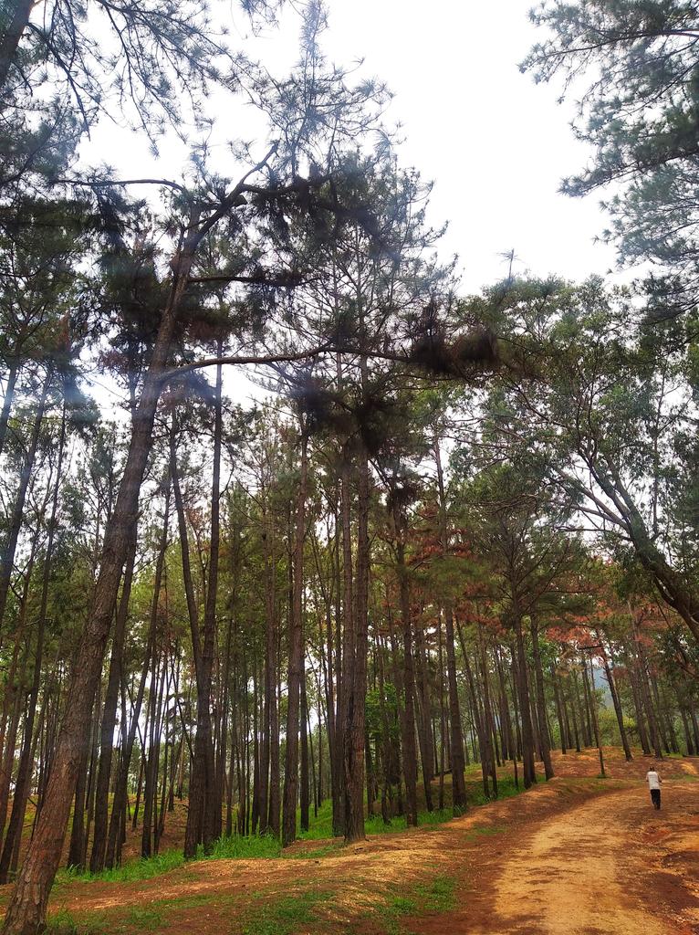
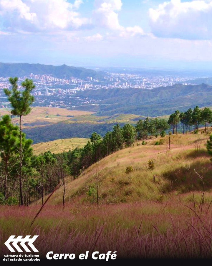
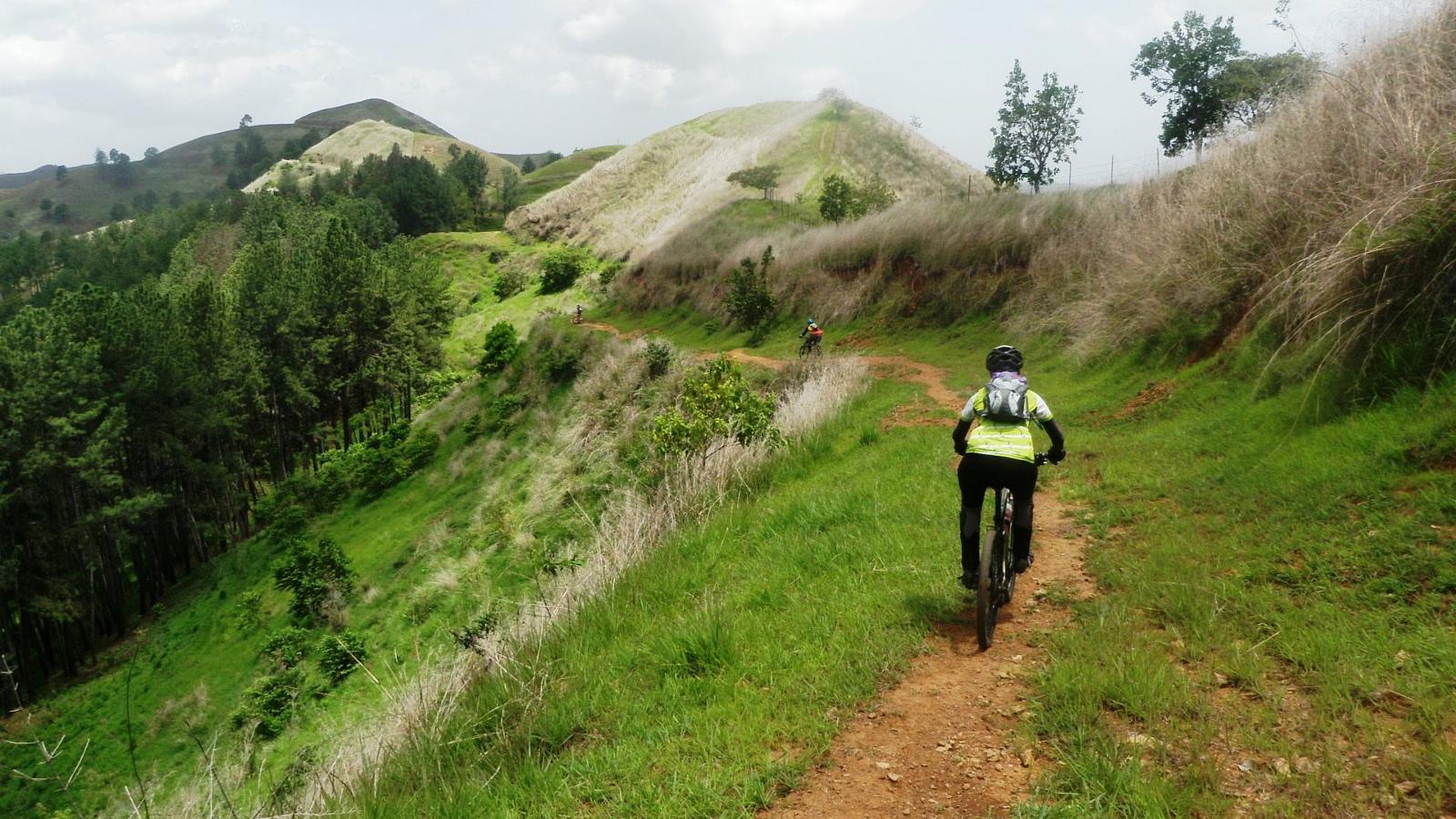
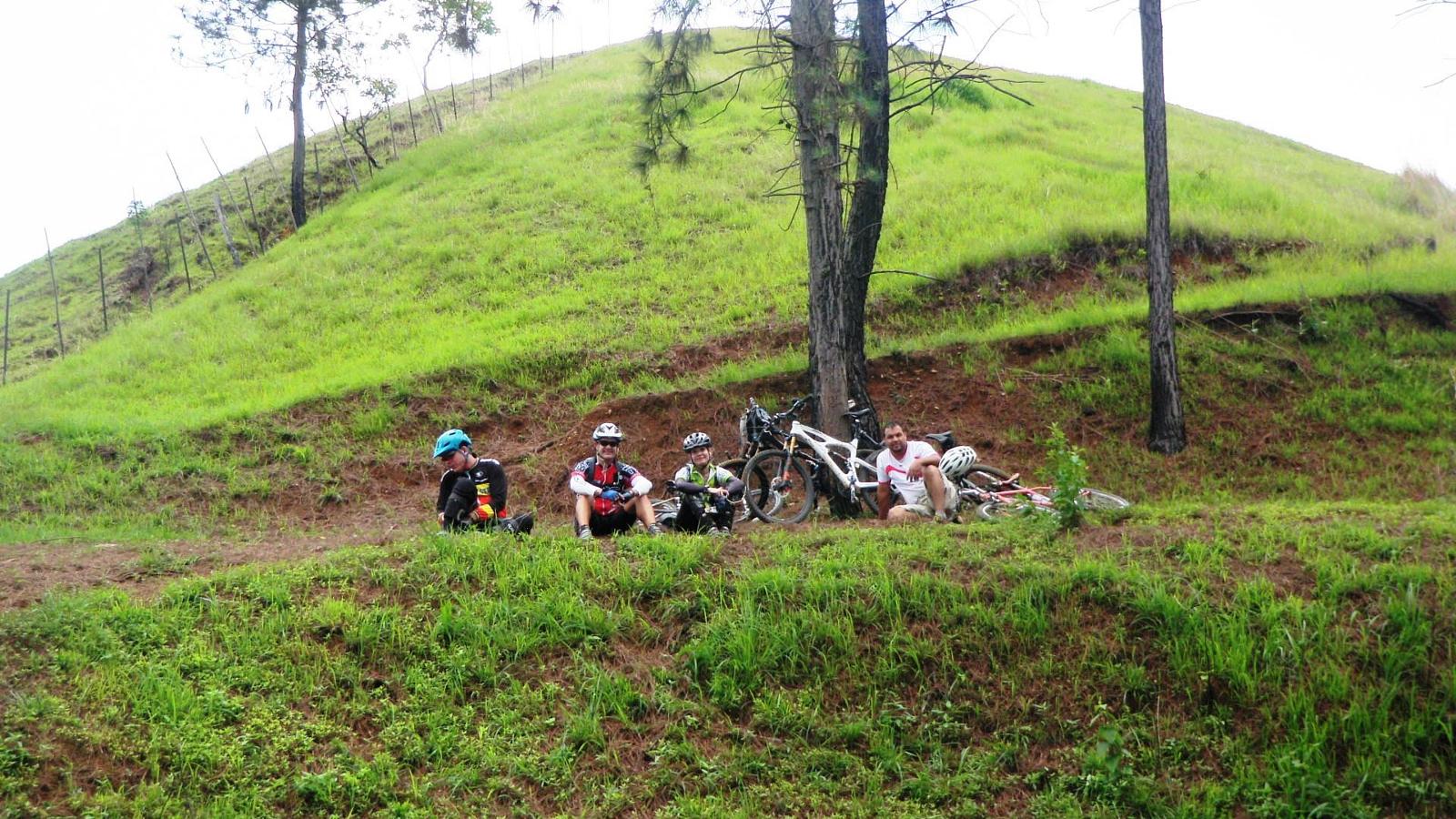
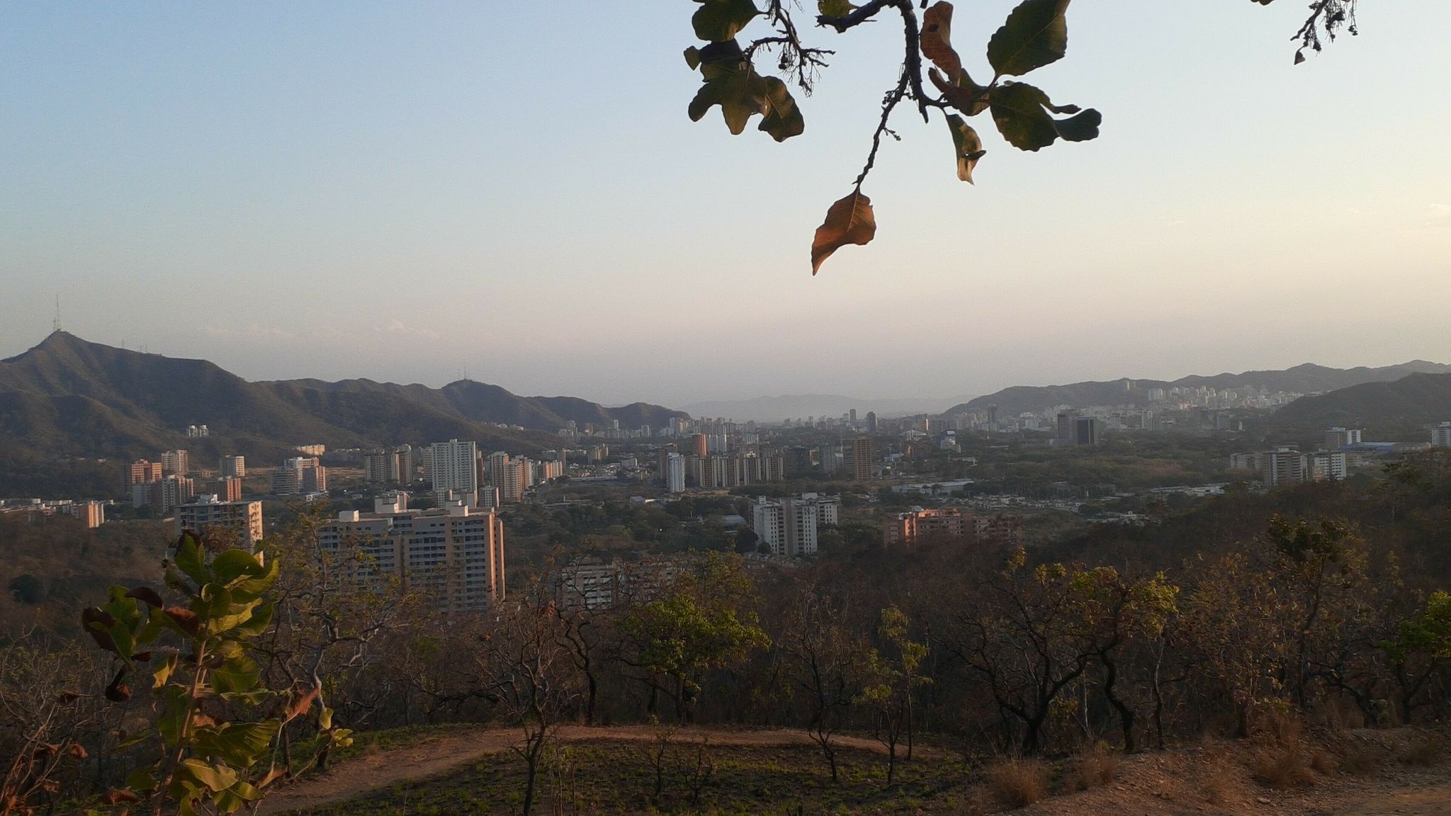
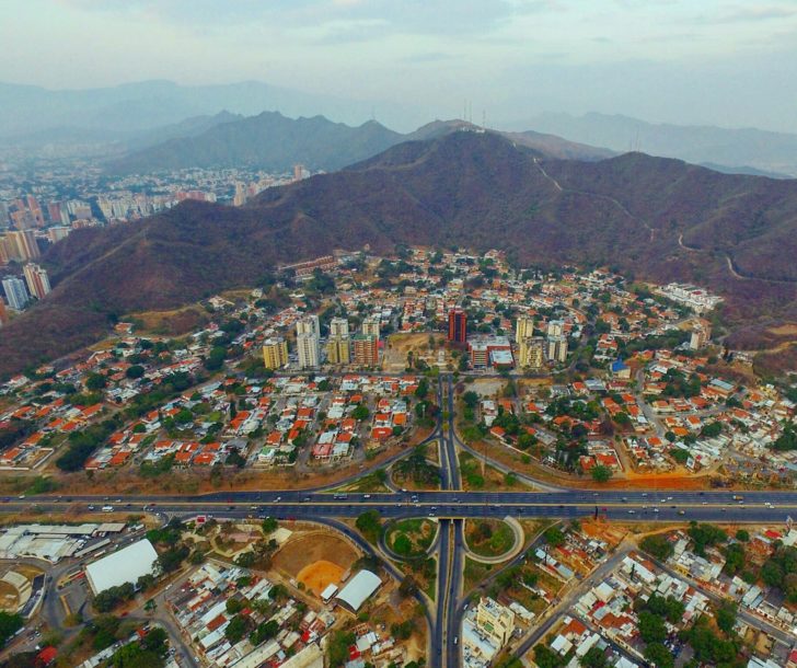
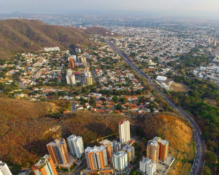
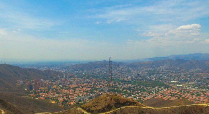
Cerro El Cafe (municipio Naguanagua), pocos kilometros al Noroeste de Valencia, es considerado como el pulmon vegetal de esa ciudad, donde muchos Valencianos suben a excursionar durante los fines de semana o durante cualquier tiempo libre:
Mount of "El Cafe", few kilometers Northwest of Valencia, is considered like the green lung from that city, where many Valencians go up there for excursions in their spare time:
Spoiler!
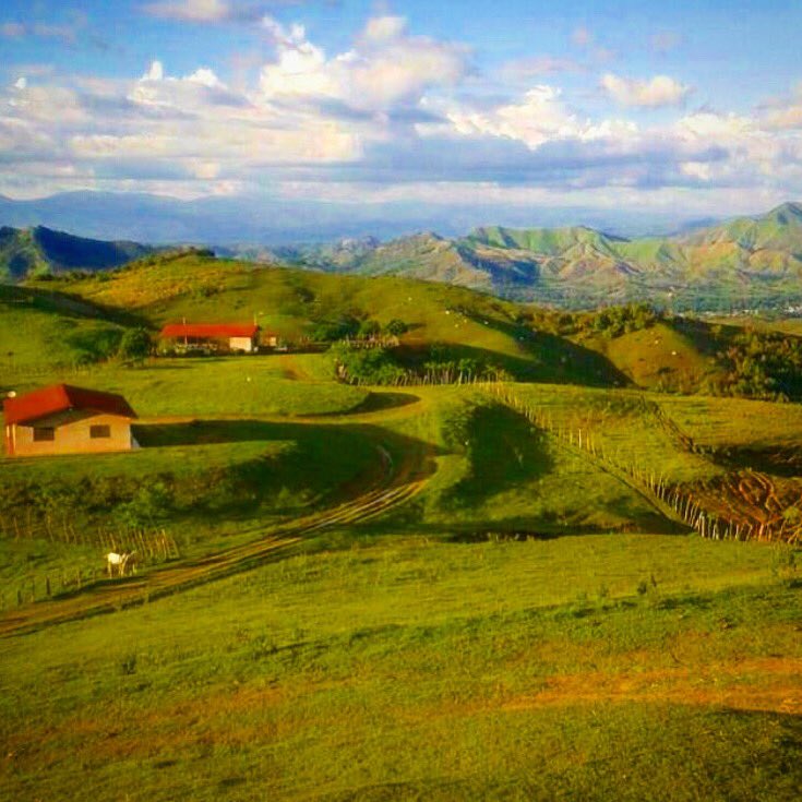
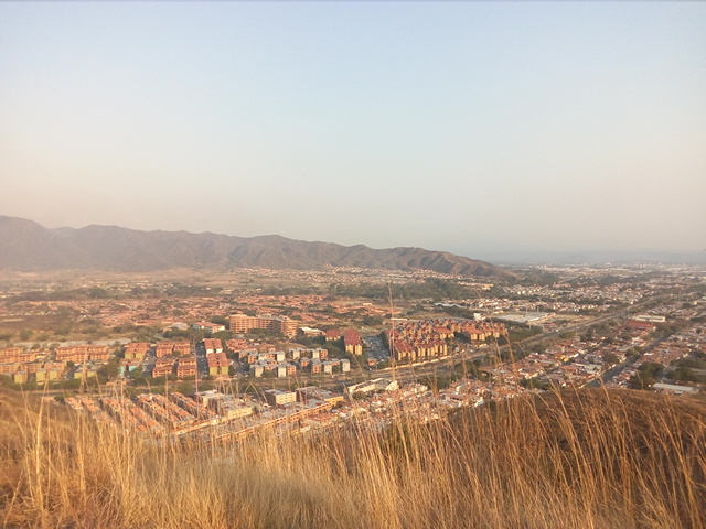
Serrania del Interior in the very south/southeast of the state (municipality of Carlos Arvelo):
Spoiler!
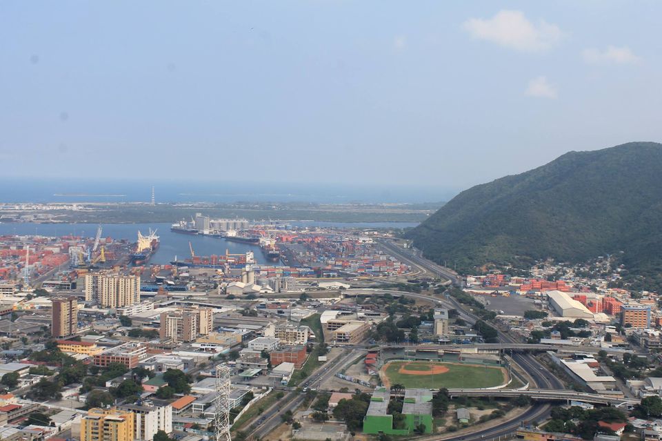
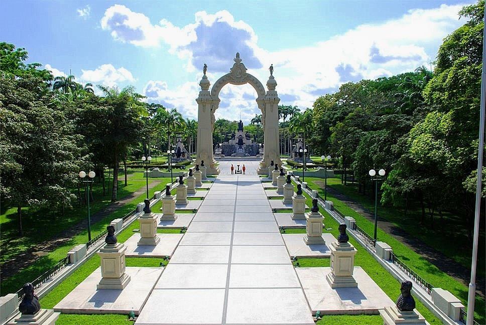
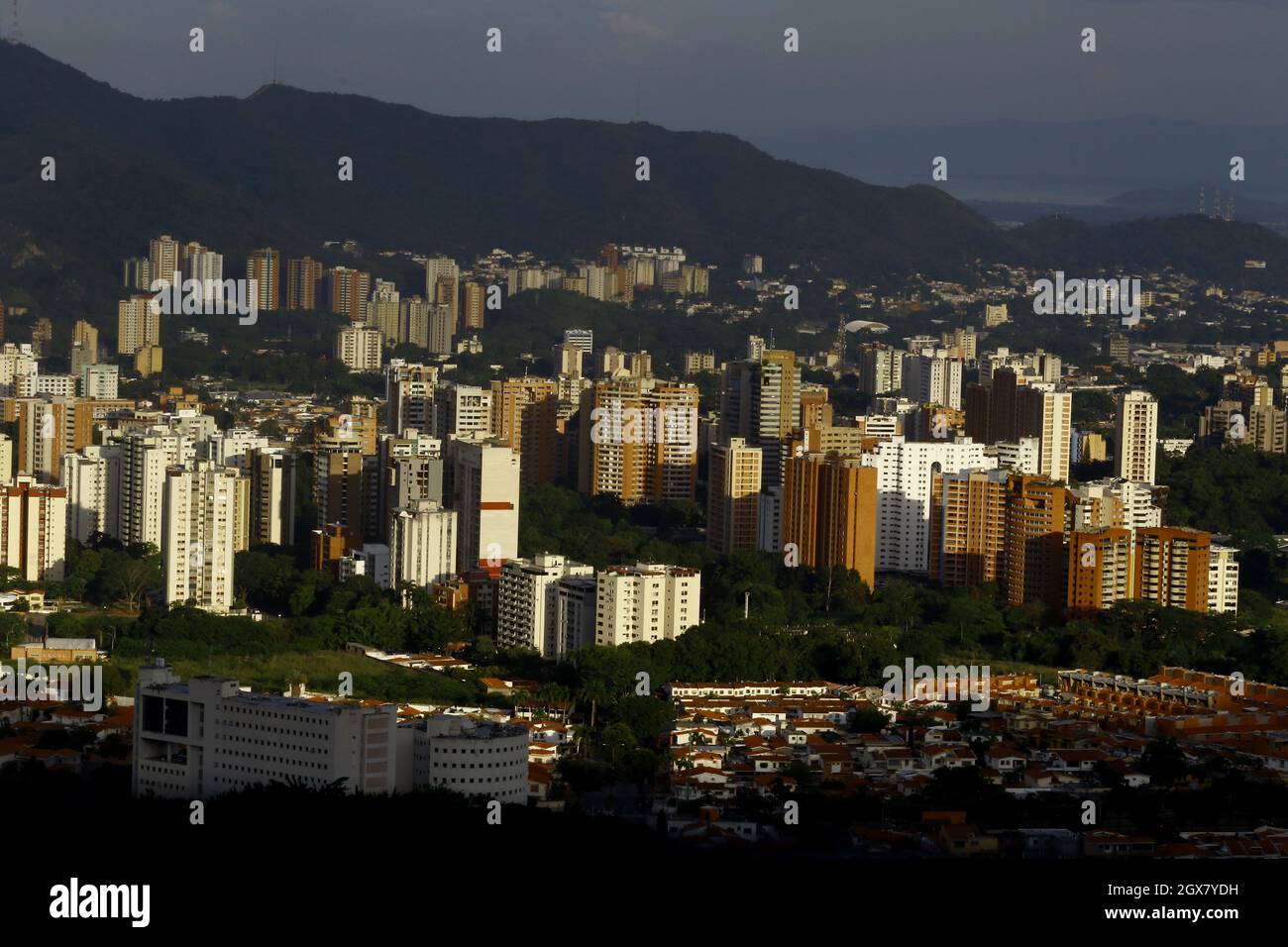
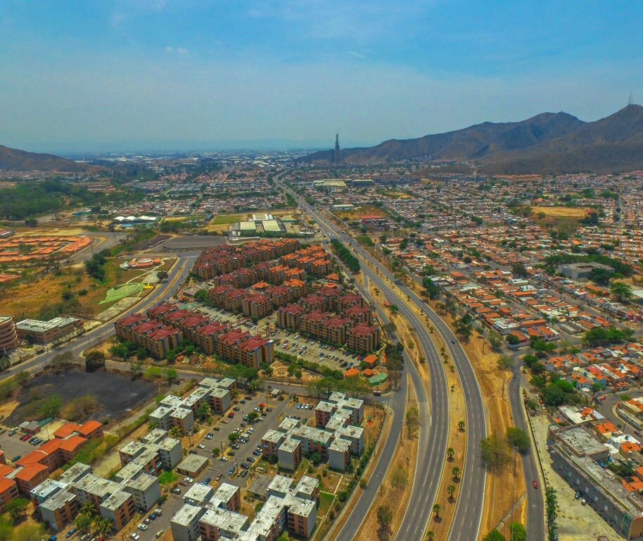
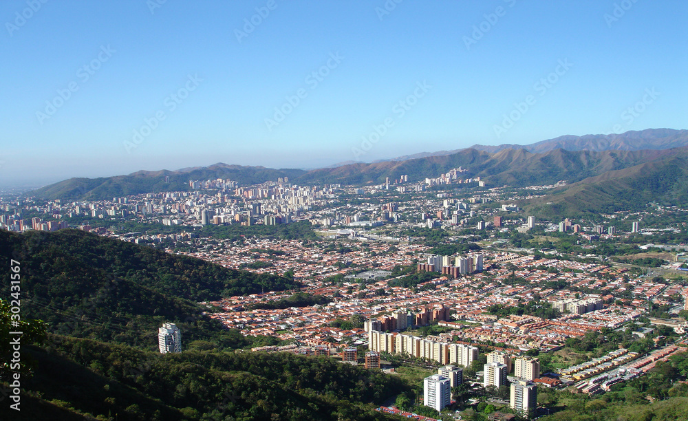
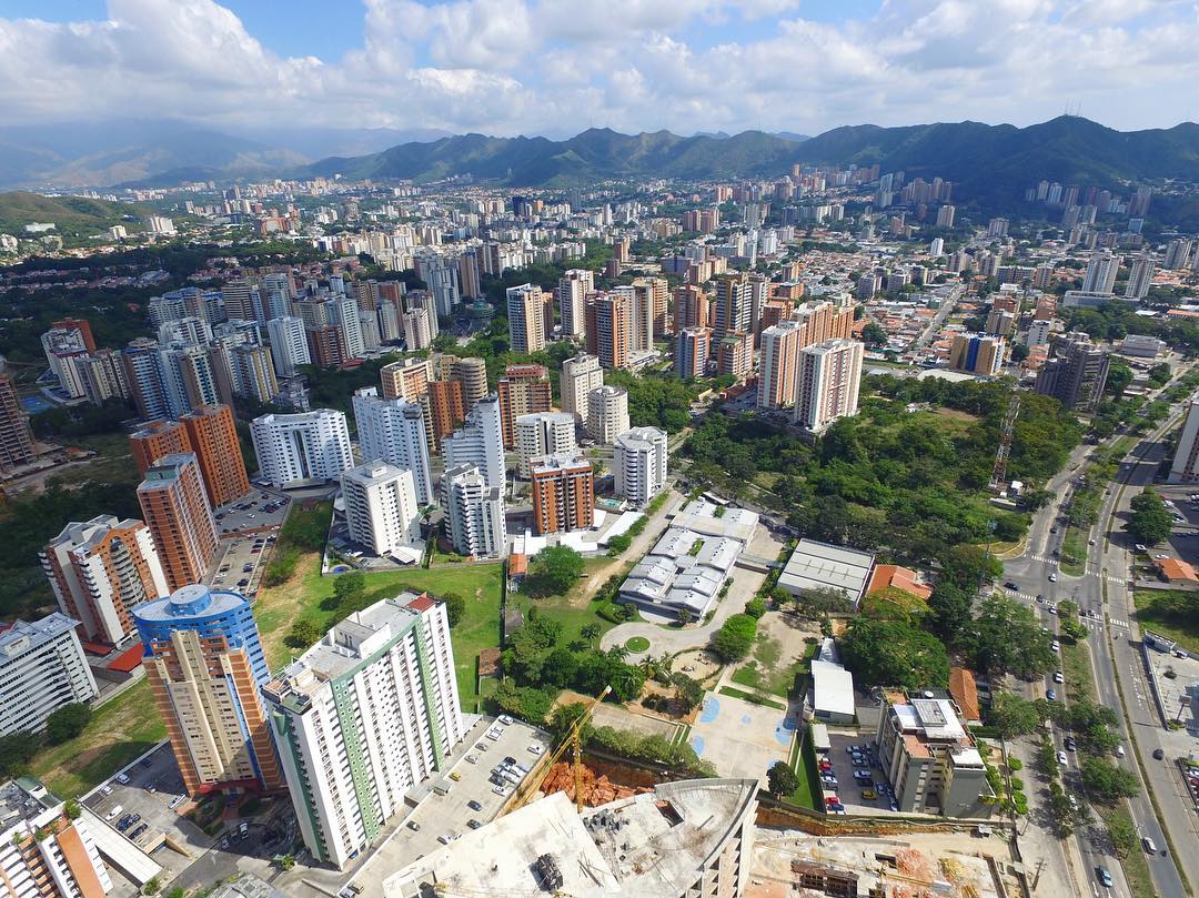
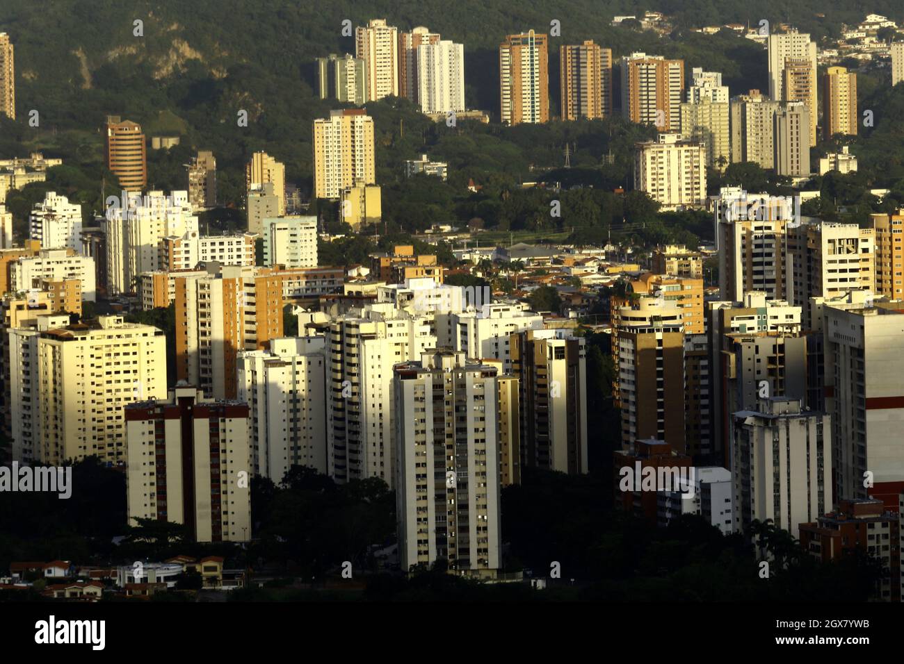
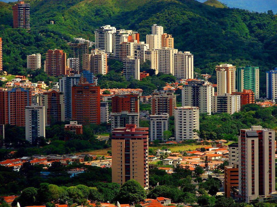
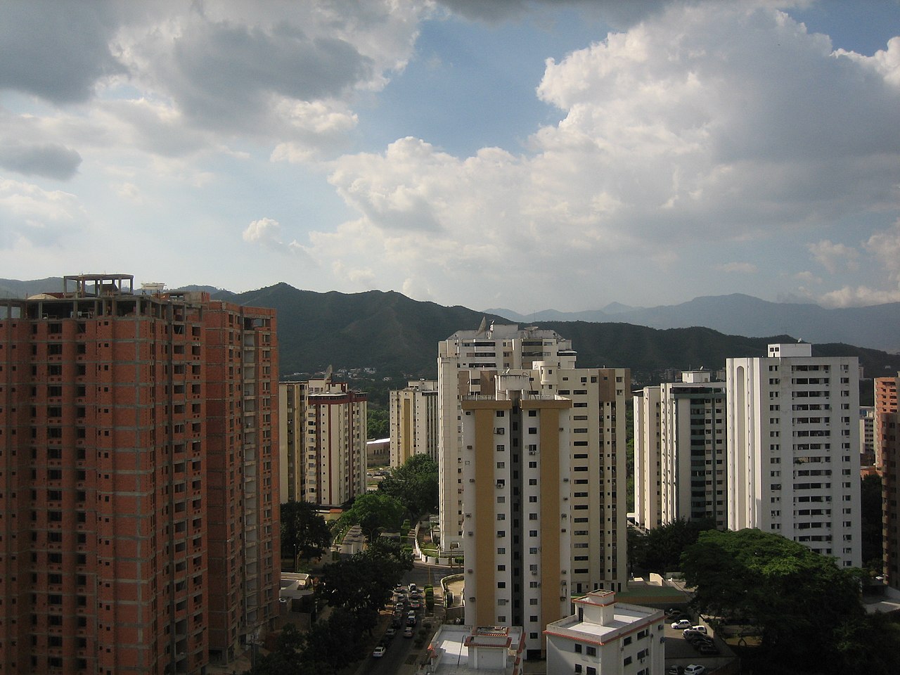
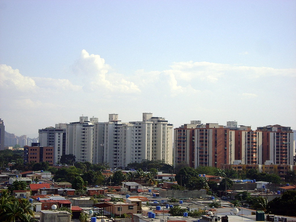
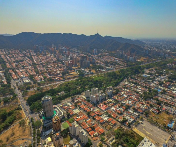
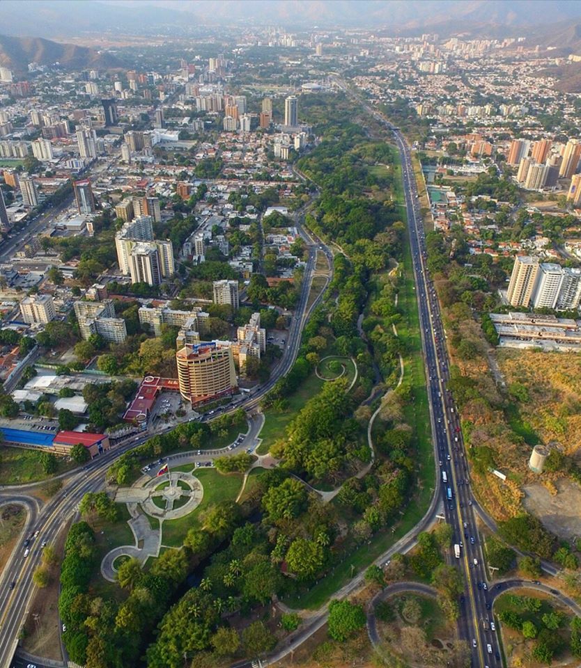
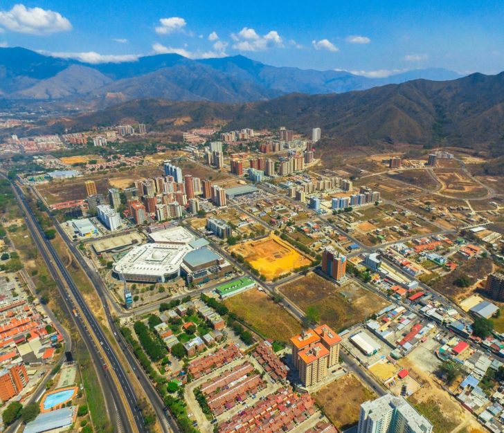
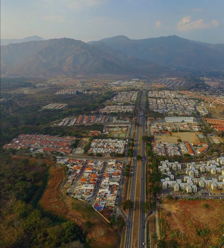
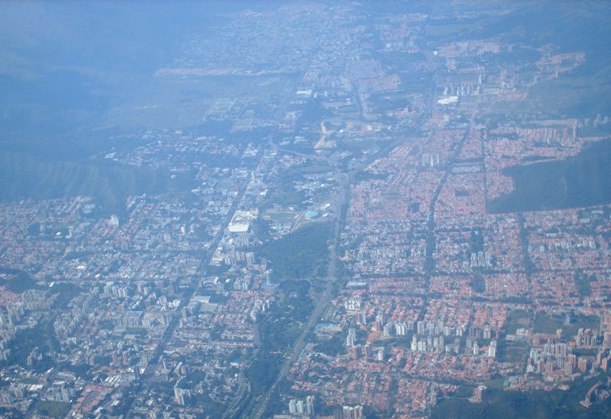
Some panoramic/aerial views of Valencia, the state capital (around 1,500,000 inhabitants, and between 520 and 600 meters above sea level), in the very center of the state:
Spoiler!
My Updated 23andme Results (2021)
My Updated AncestryDNA Results (2022)
My Global25 Coordinates (2020)
An Epic Thread about me opened by Profield
| Thumbs Up |
| Received: 19,523 Given: 37,001 |
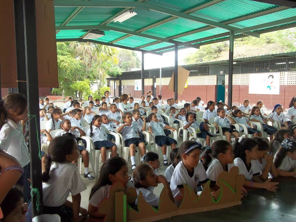
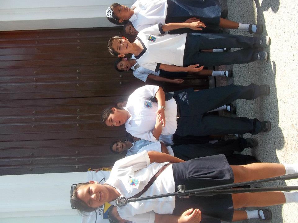
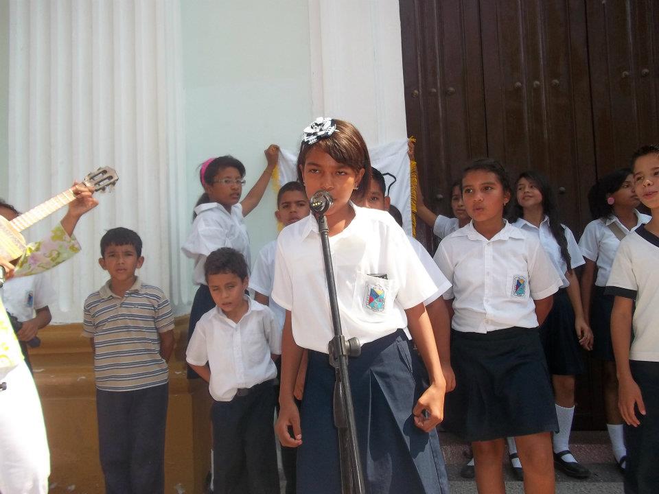
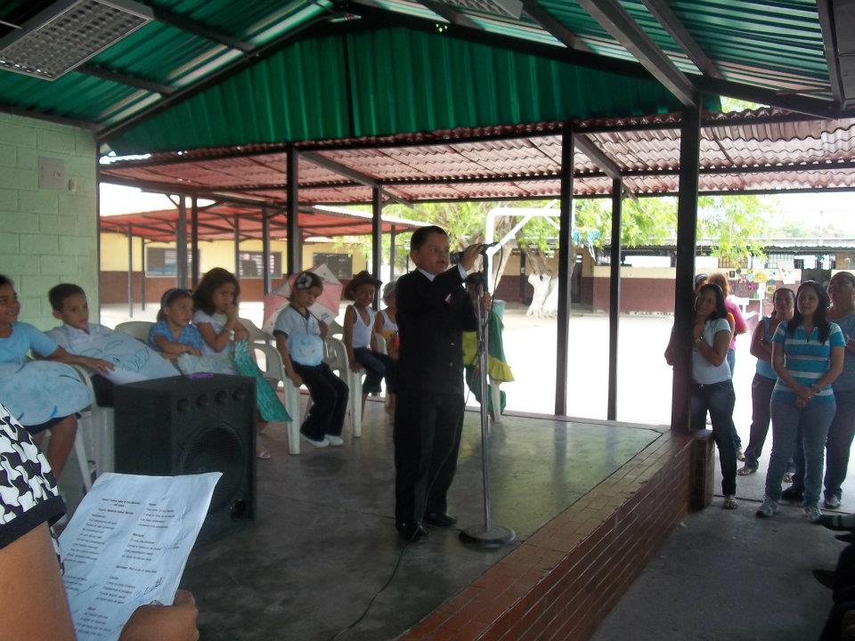
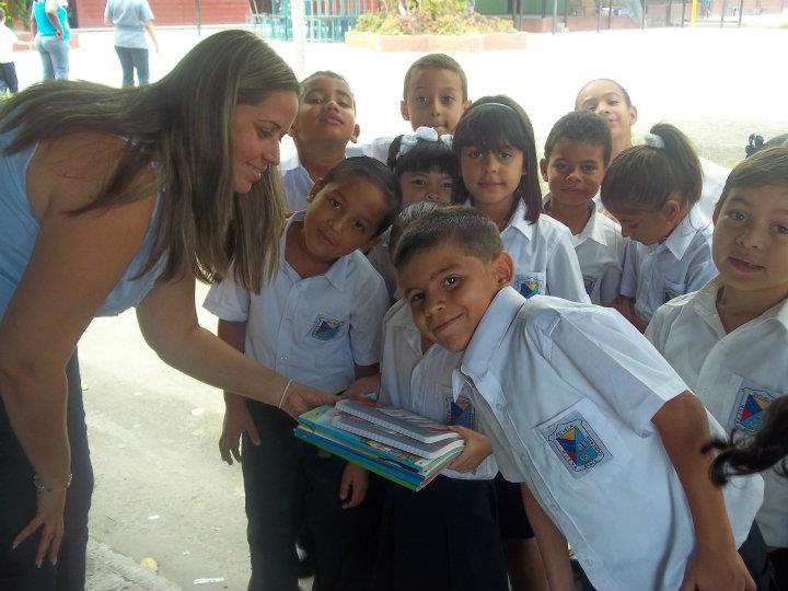
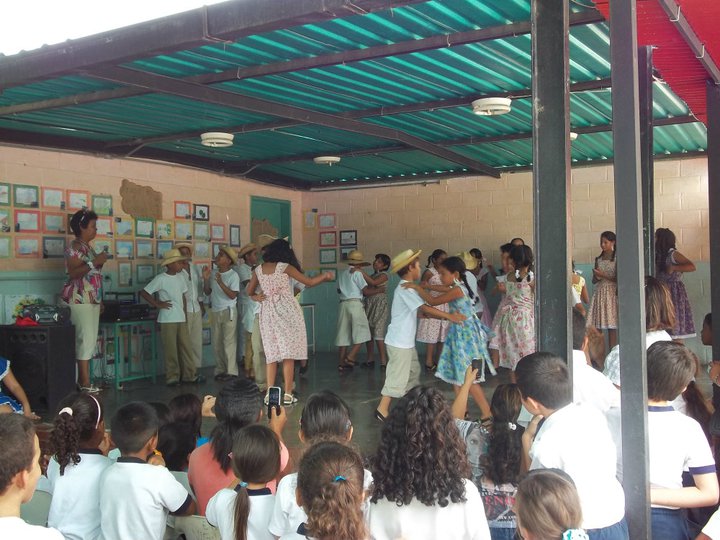
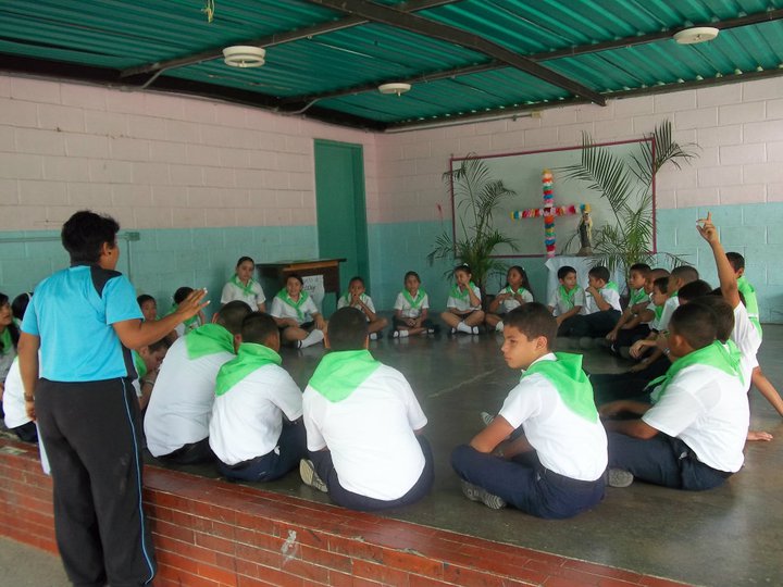
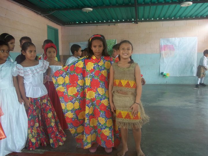
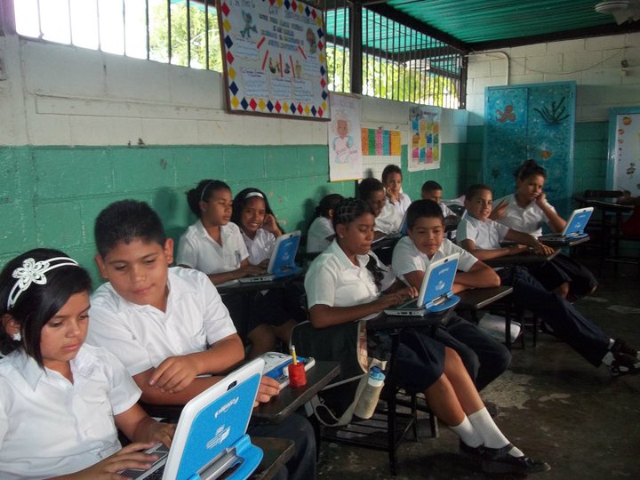
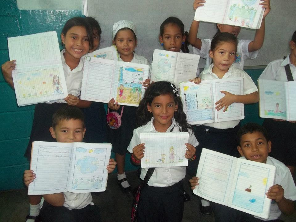
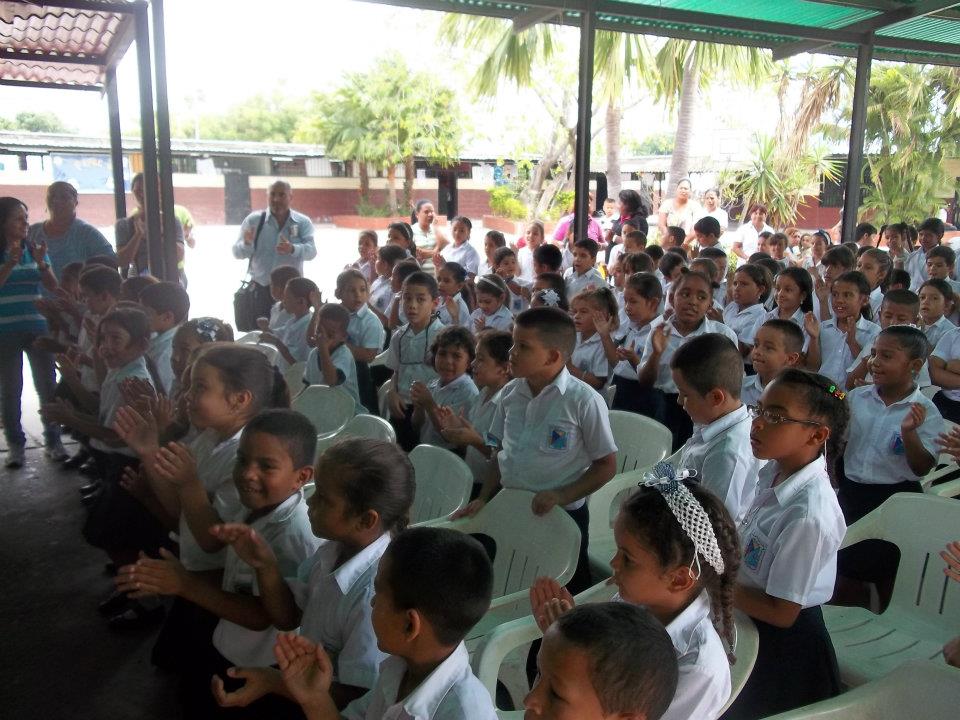
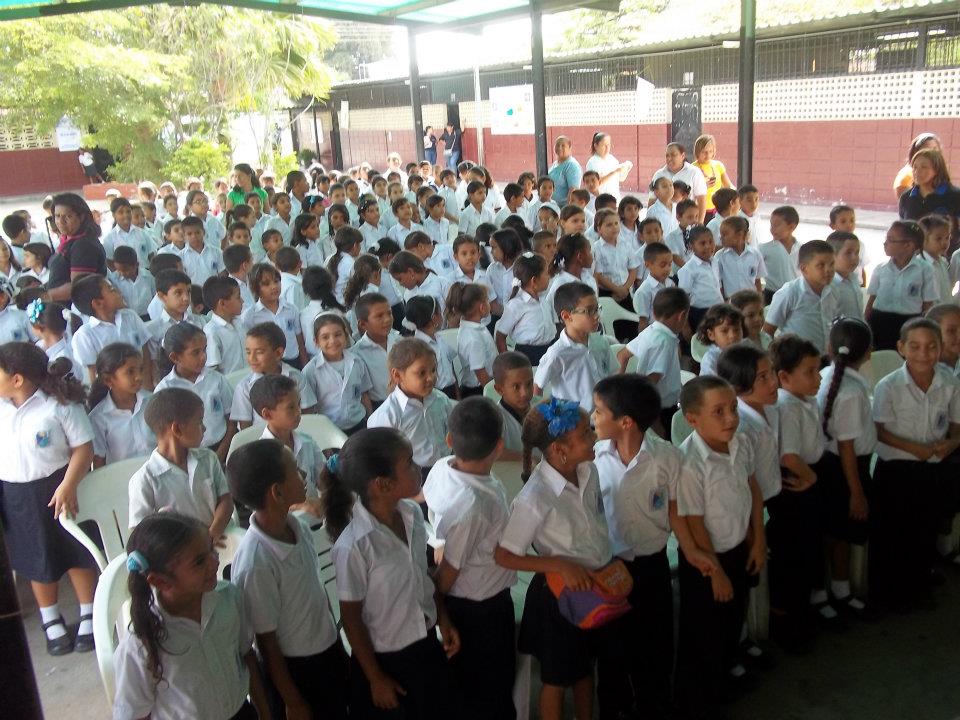
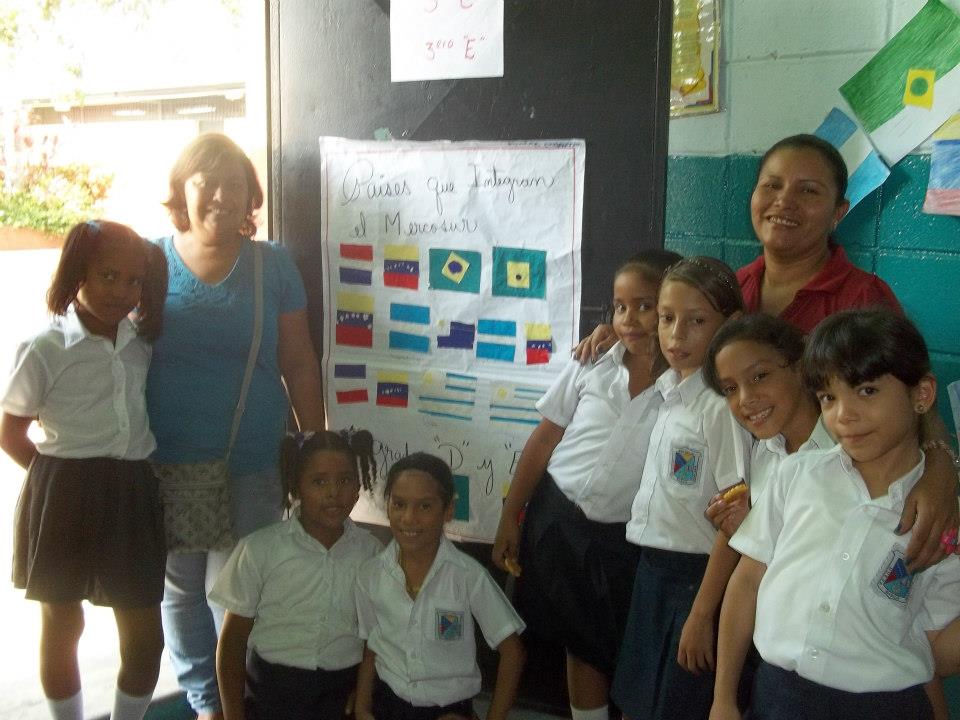
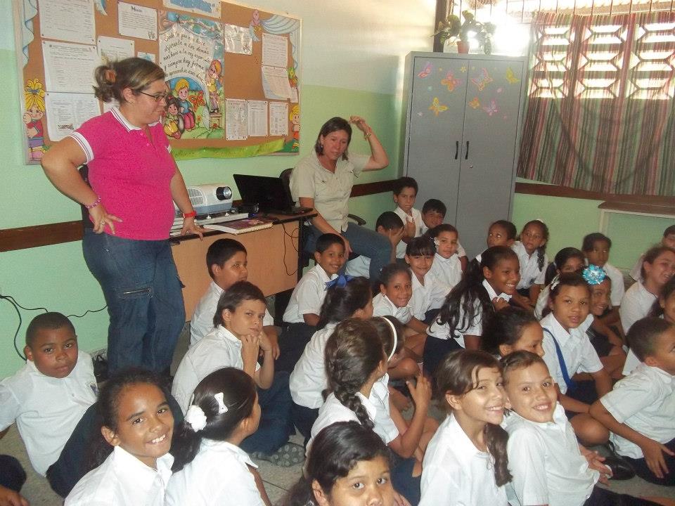
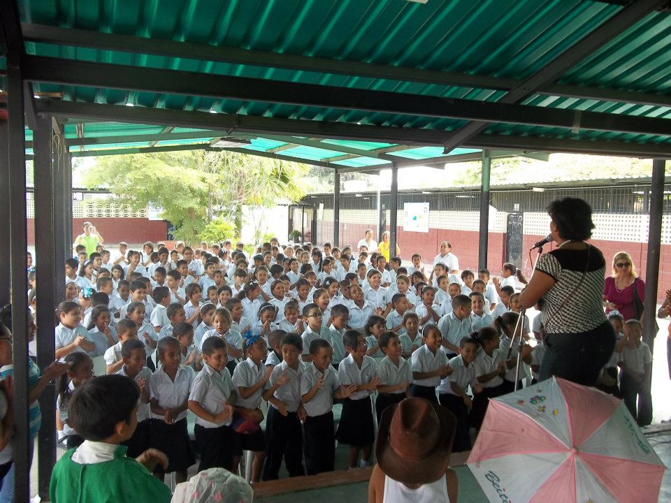
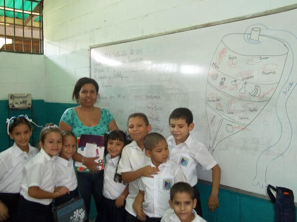
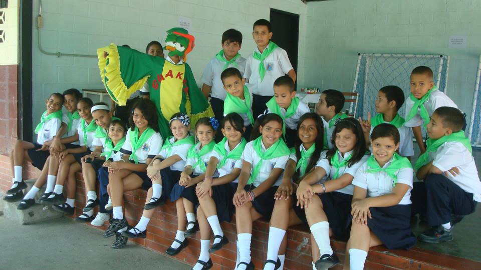
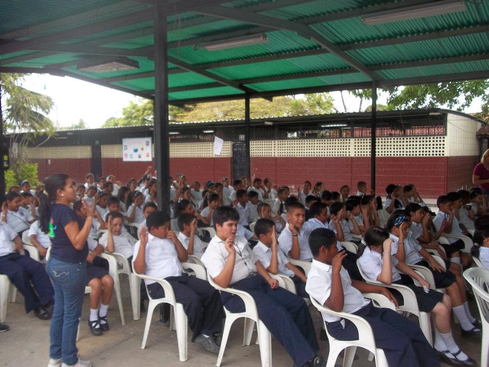
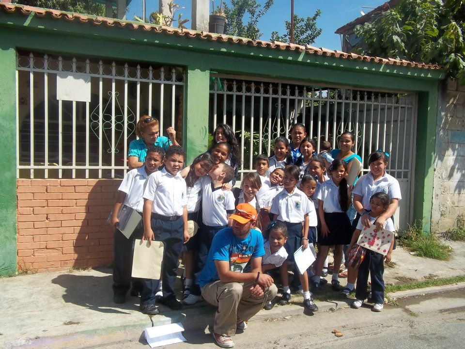
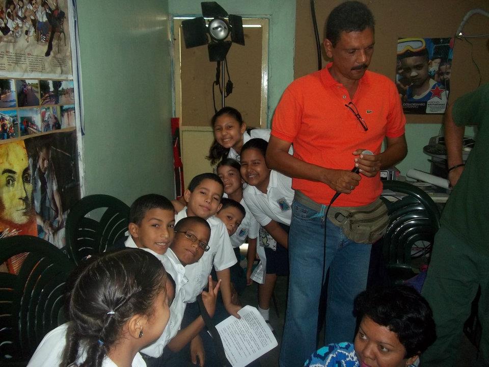
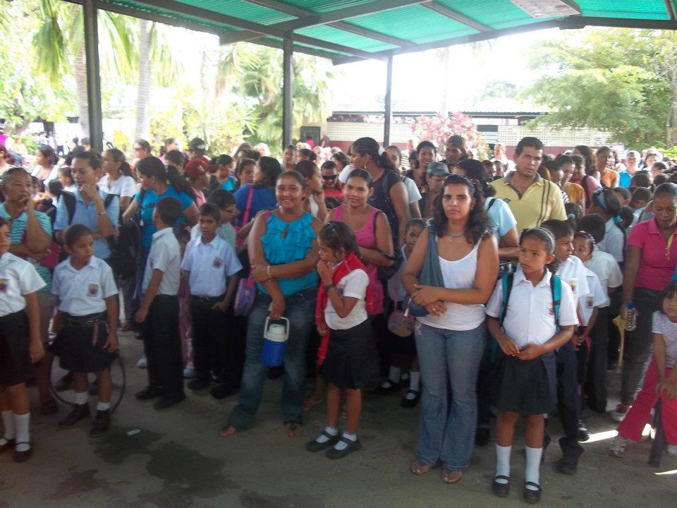
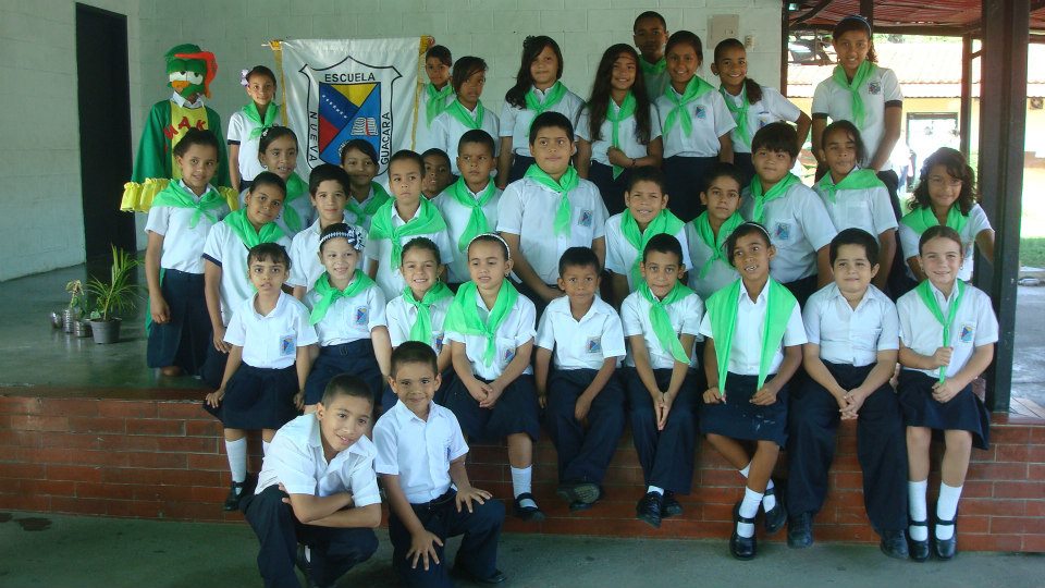
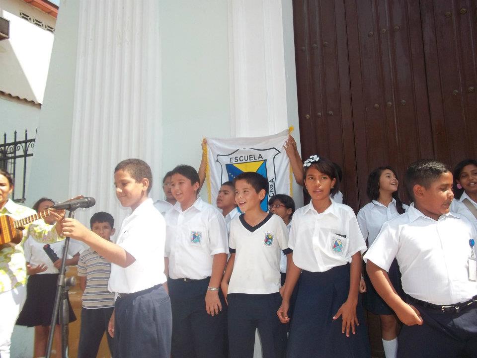
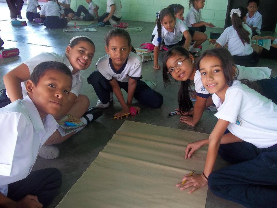
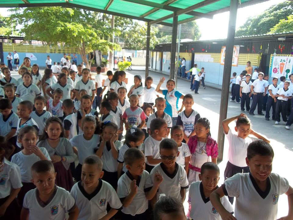
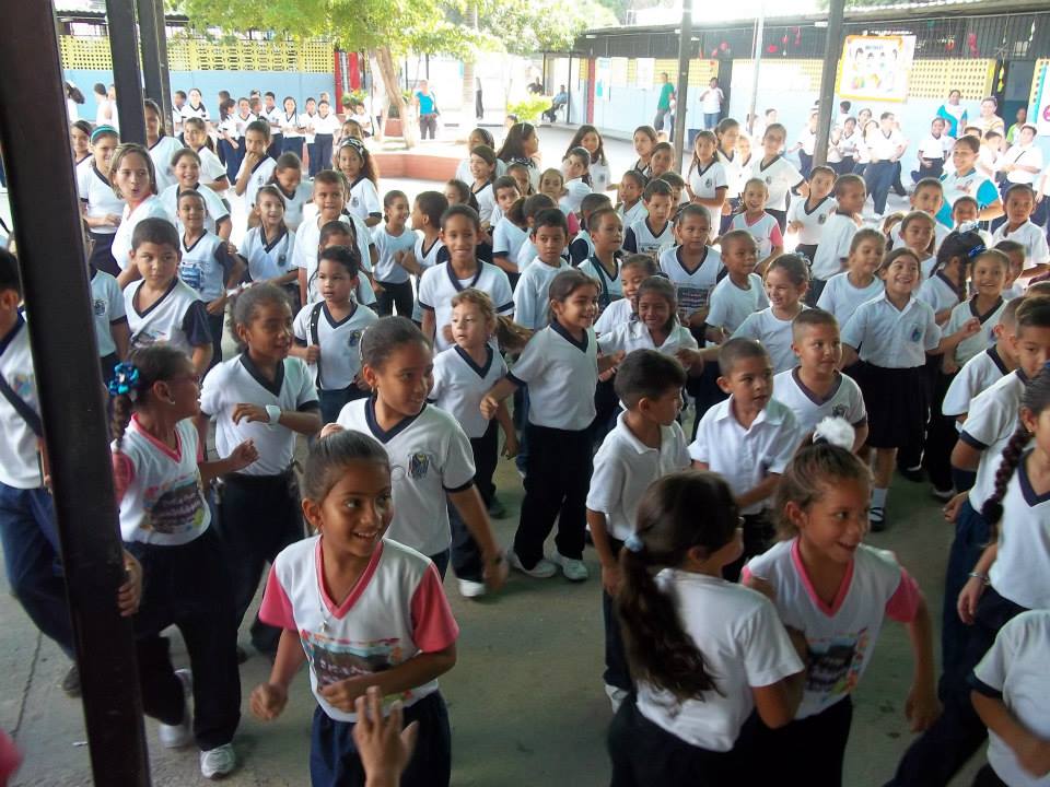
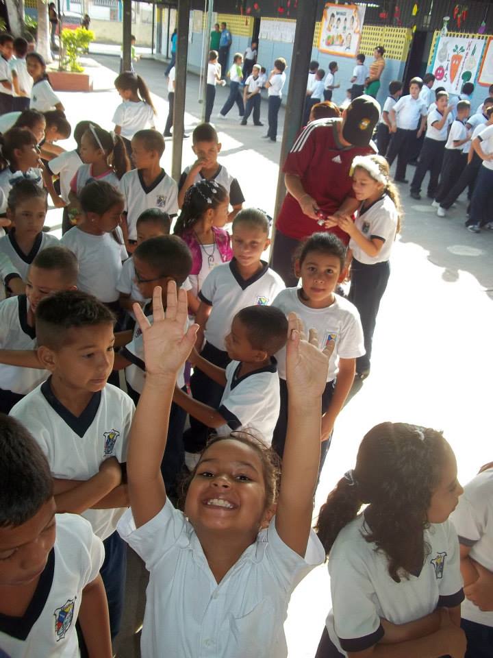
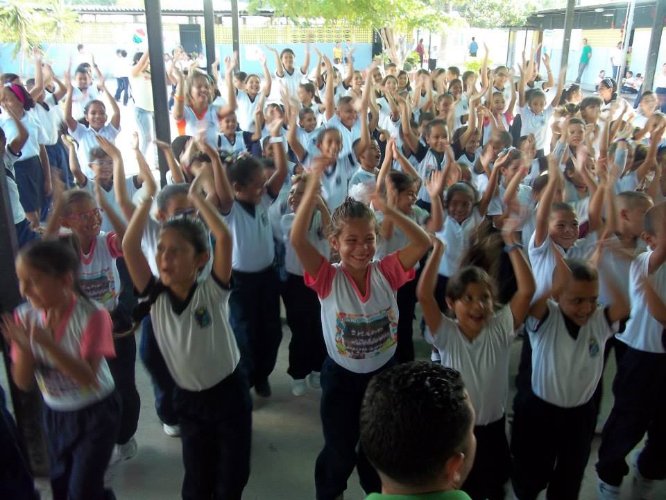
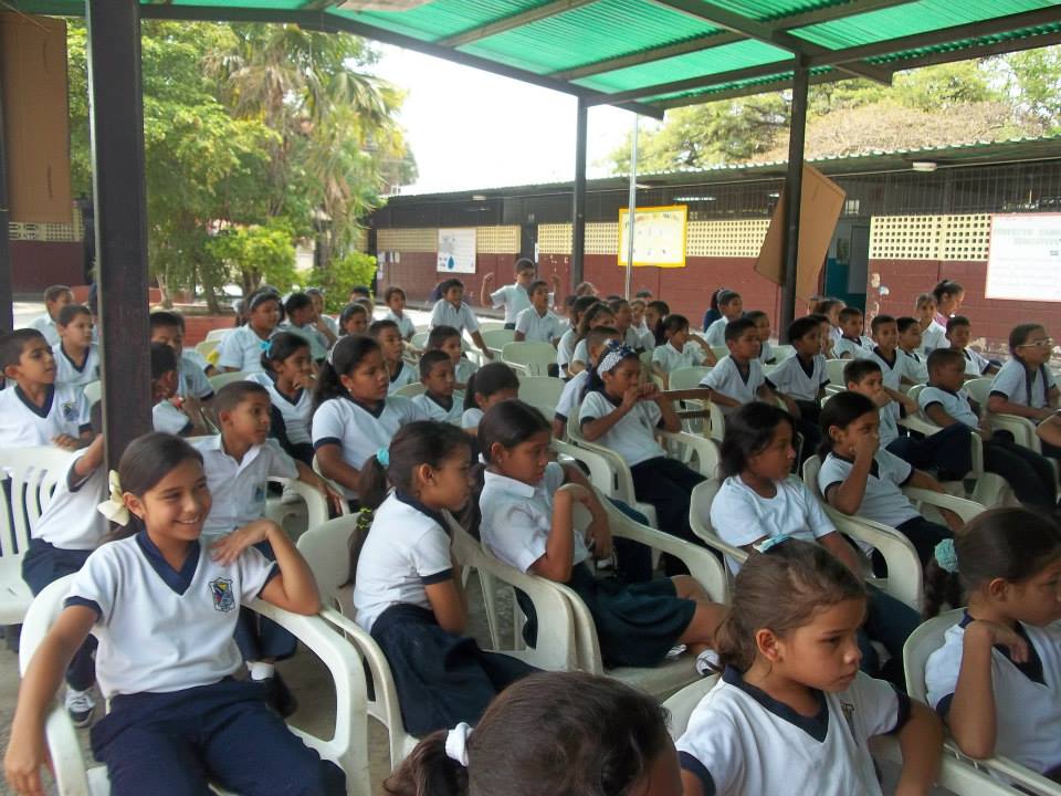
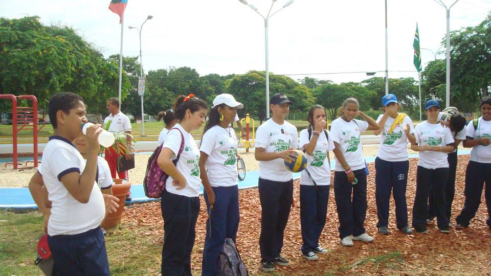
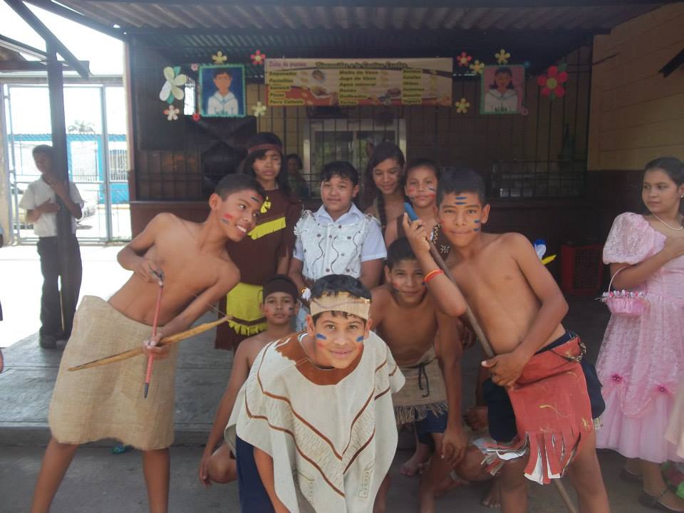
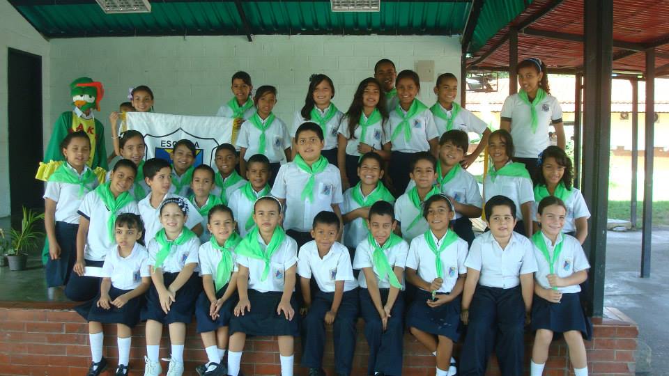
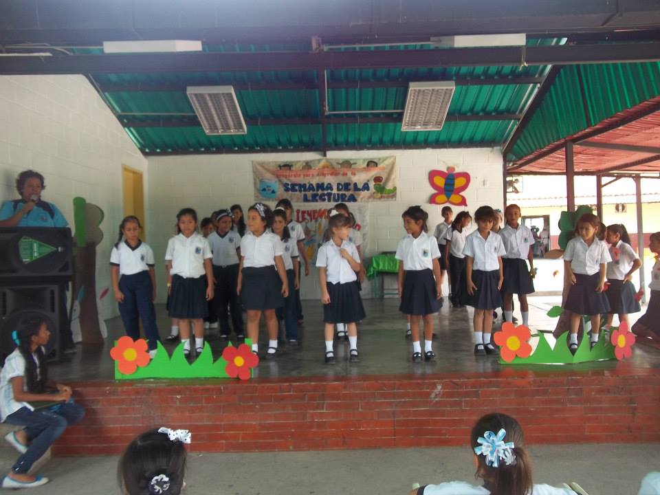
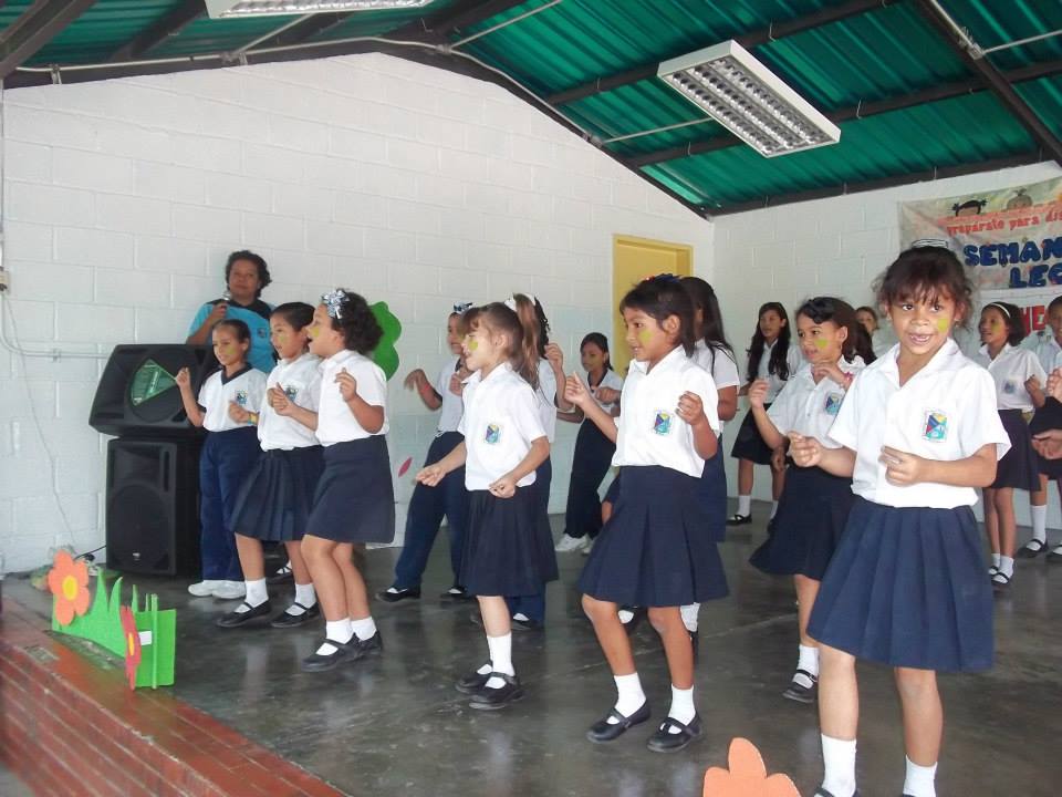
Now, I'm going to start posting this school from Guacara, satellite city located few miles east from Valencia. I think this school well represents the ethnography of most of the state population, including Valencia...
Location of Guacara municipality within Carabobo state:
This municipality extends from the southern outskirts of the coastal range in the north to part of the waters of the Valencia lake in the south, and the city of Guacara (capital of the municipality of the same name) lays in the plain between the outskirts of the littoral mountain range and the Valencia lake, with the central regional highway (that goes east-west direction) communicating this city with Maracay and Caracas to the east, and with Valencia to the west.
The city of Guacara (roughly 200,000 inhabitants, 440 meters above sea level) holds nearly all the population of the Guacara Municipality, and is an industrial city that is only few miles east of Valencia, and is part of the Valencian metropolitan area.
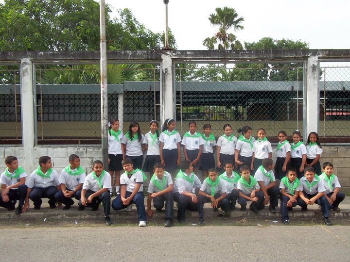
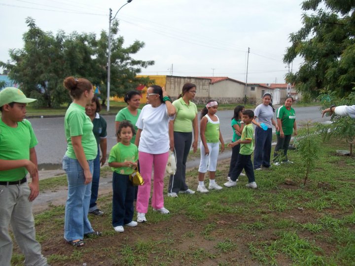
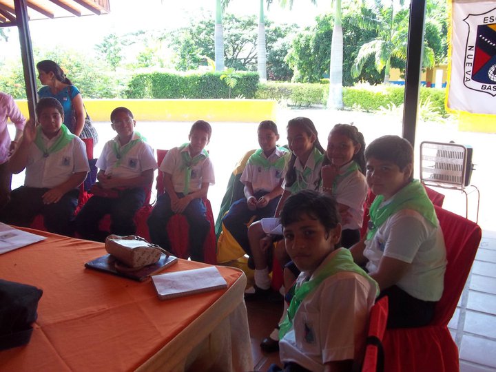
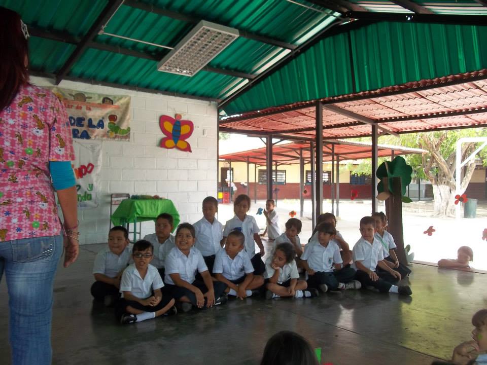
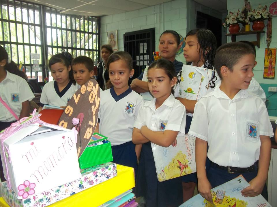
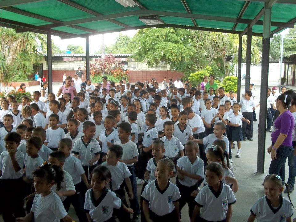
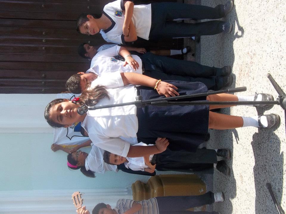
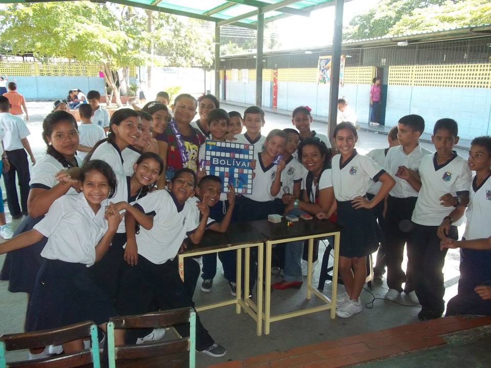
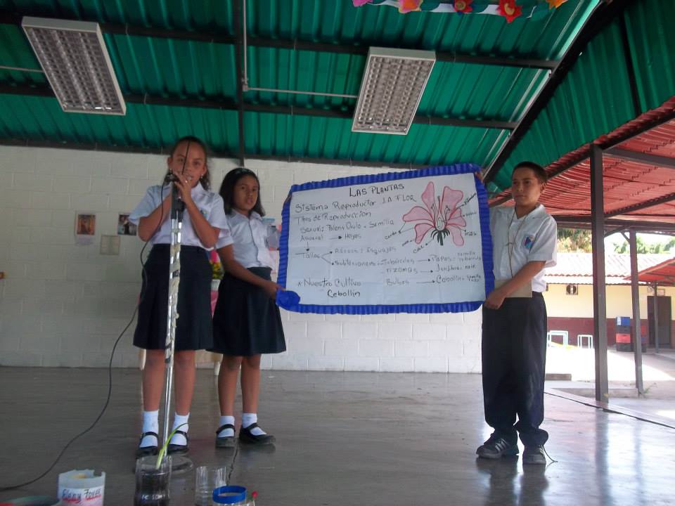
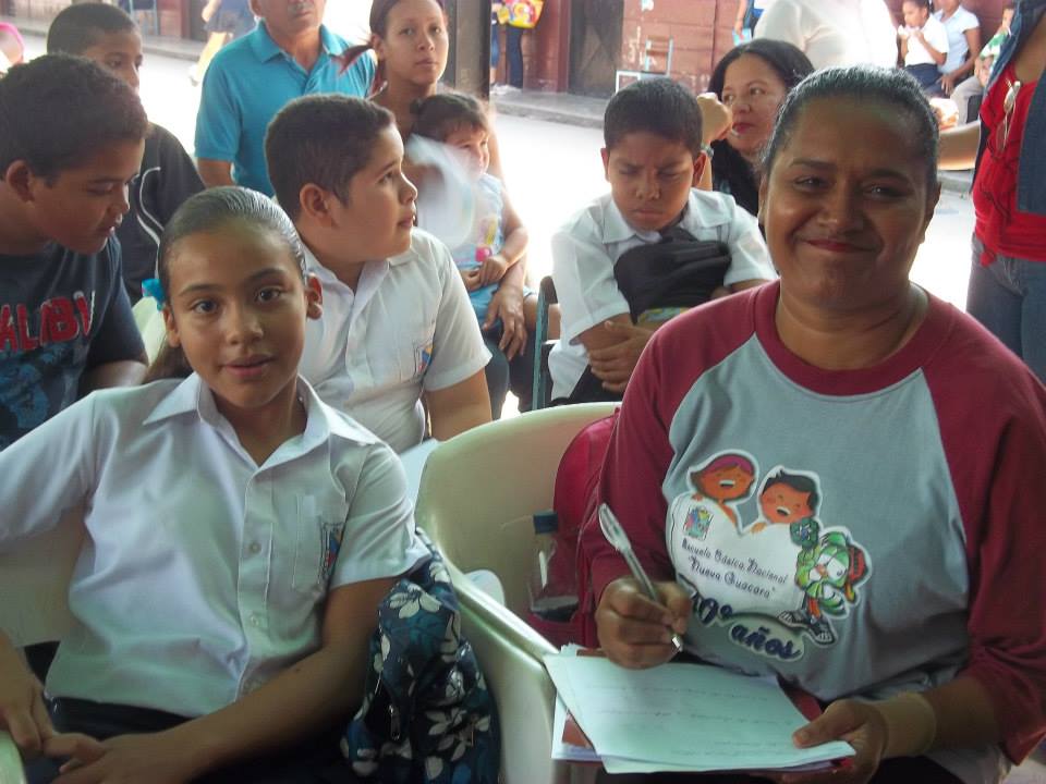
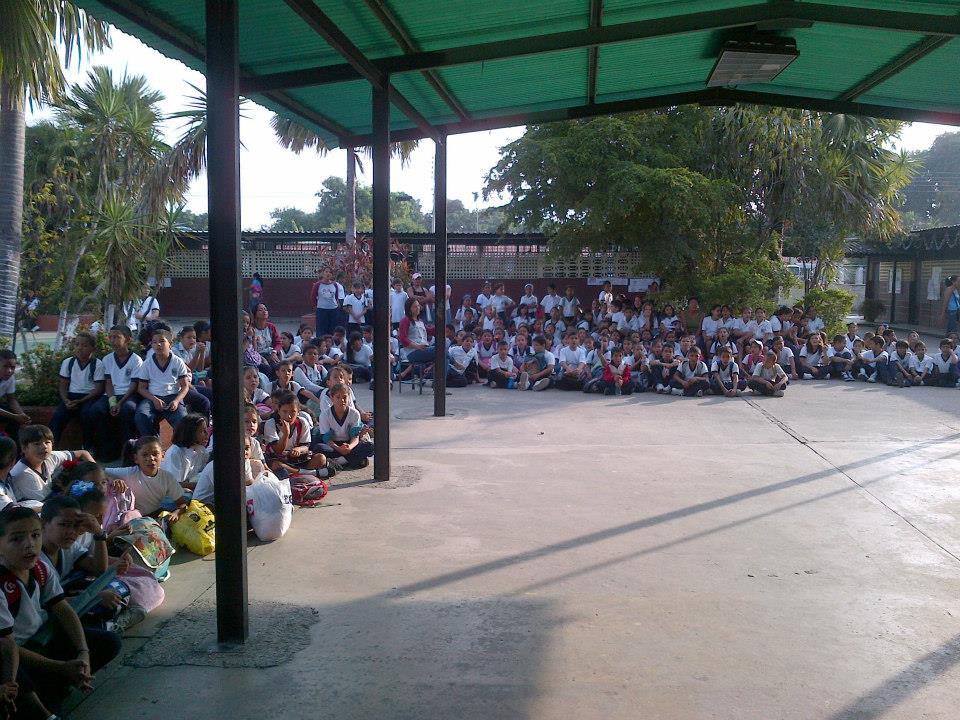
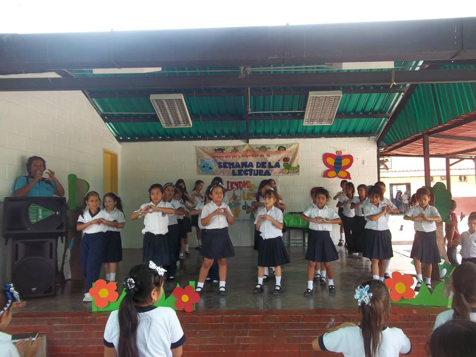
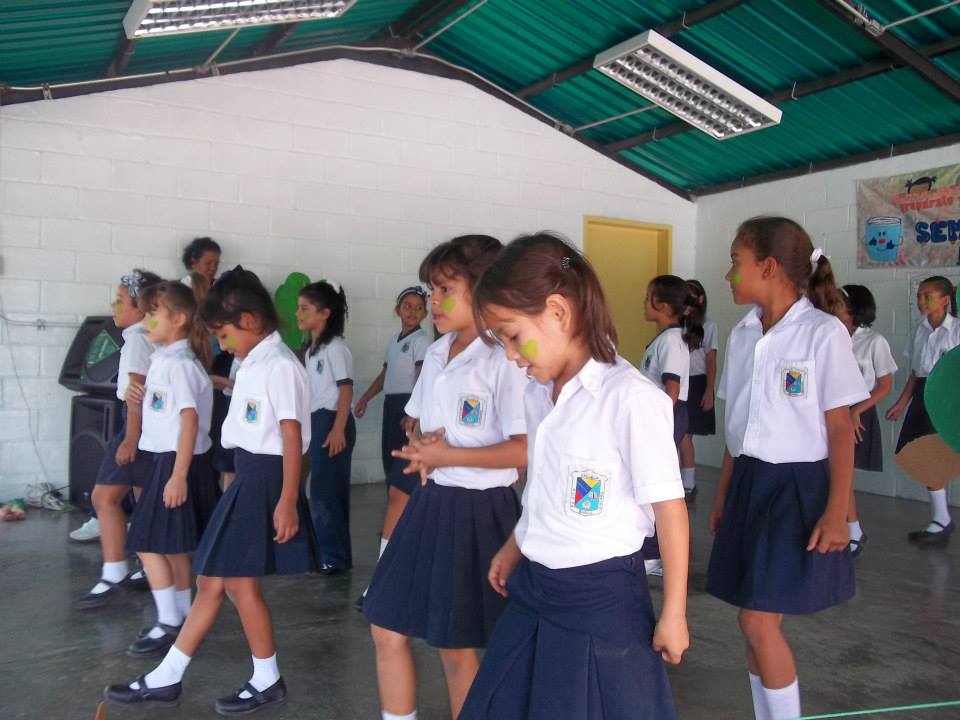
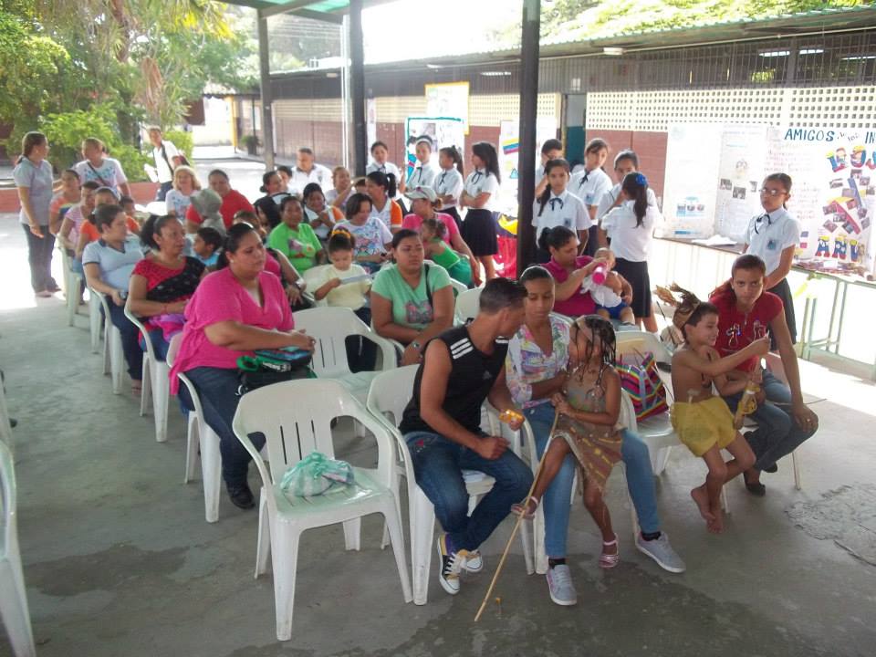
Next posts I'm going to post several batches of pics of the National Basic School of New Guacara (Escuela Basica Nacional Nueva Guacara), in Guacara, Carabobo. Is a school of only basic education (children up to 12 years old).
First batch of pics:
Spoiler!
My Updated 23andme Results (2021)
My Updated AncestryDNA Results (2022)
My Global25 Coordinates (2020)
An Epic Thread about me opened by Profield
| Thumbs Up |
| Received: 19,523 Given: 37,001 |
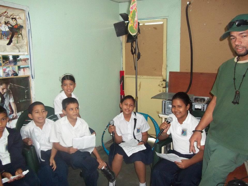
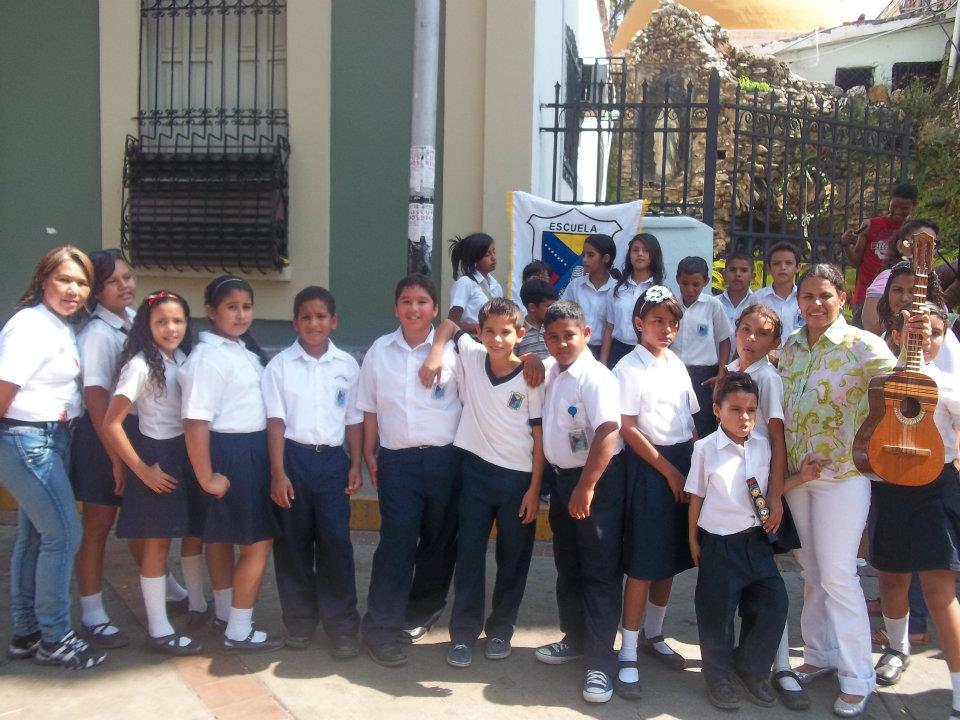
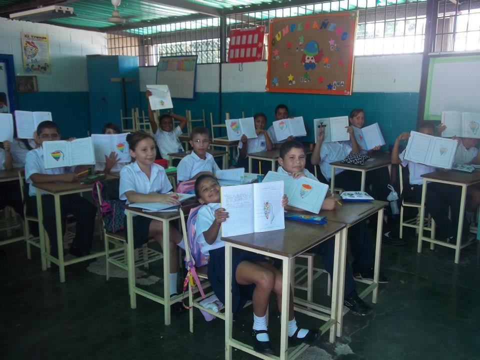
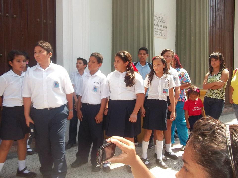
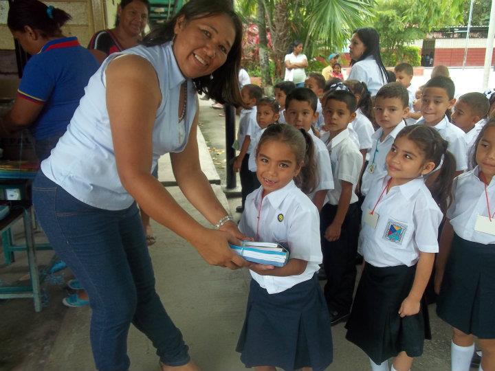
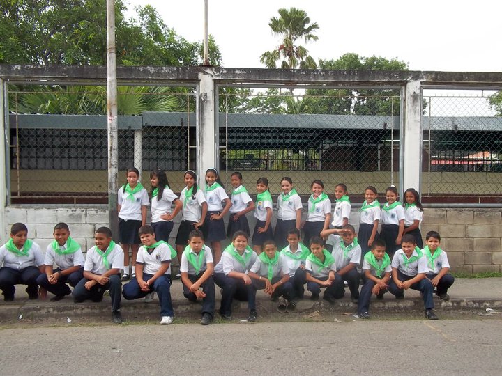
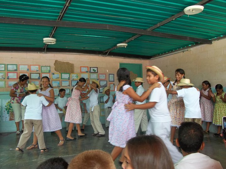
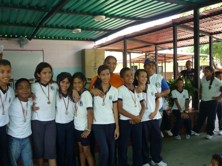
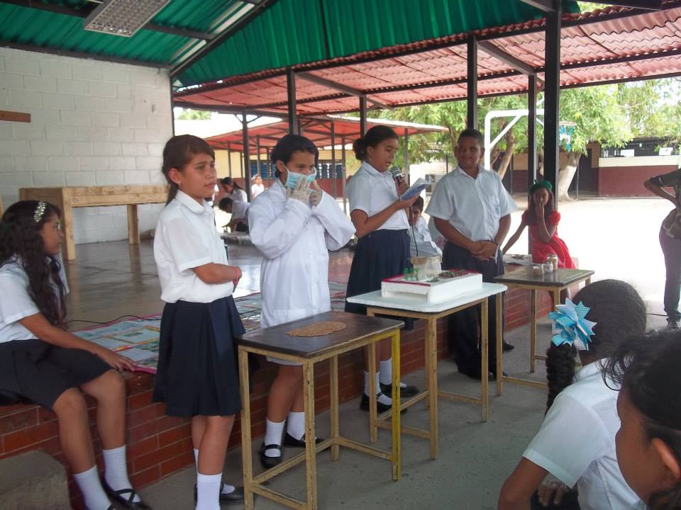
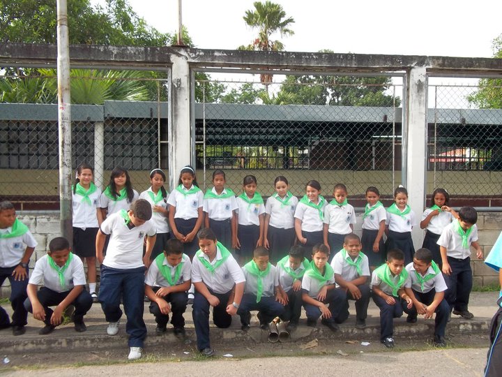
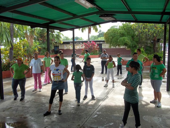
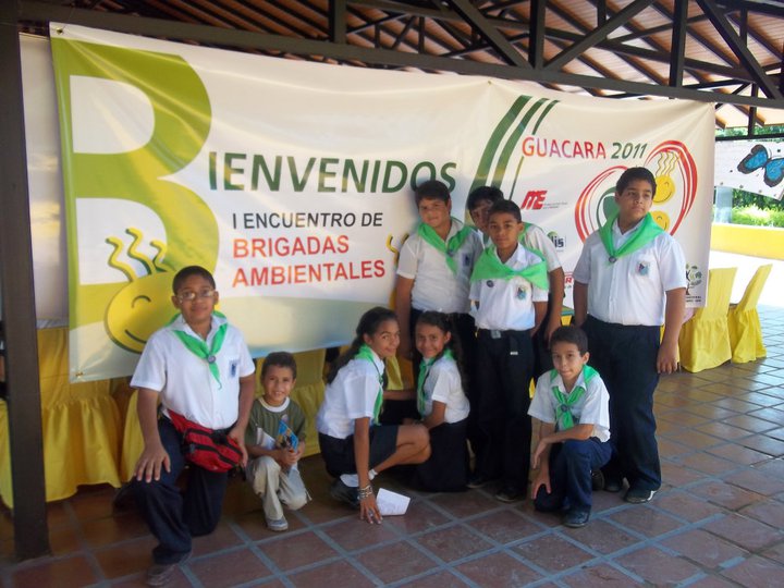
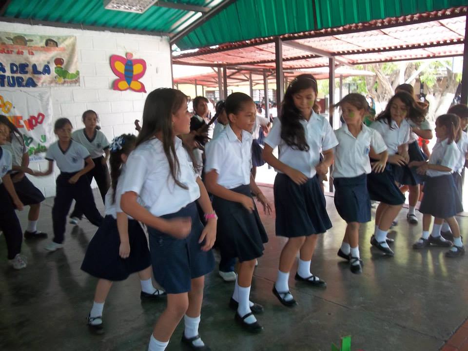
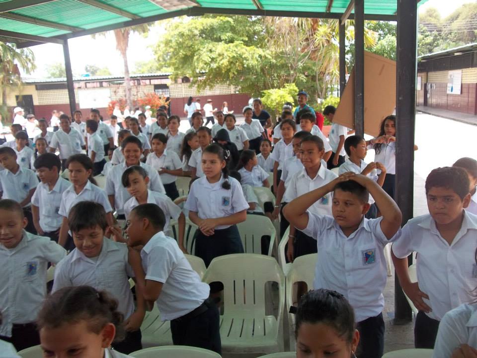
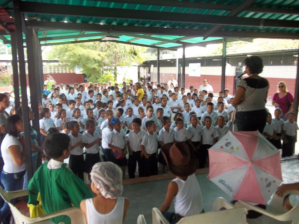
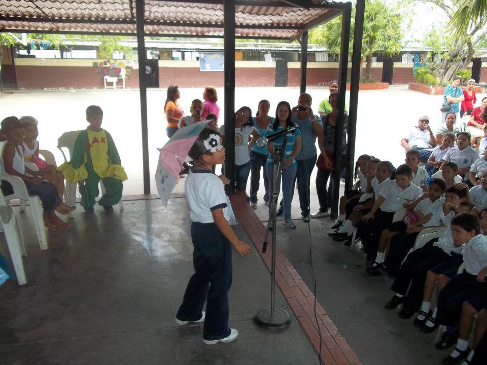
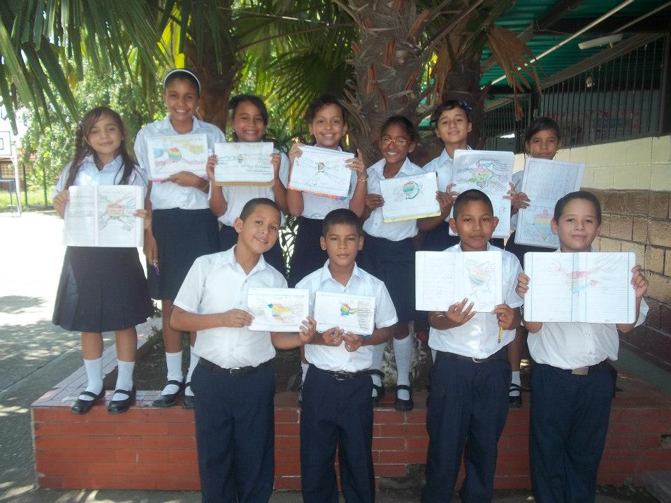
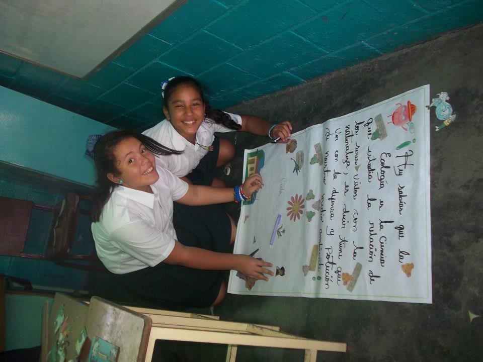
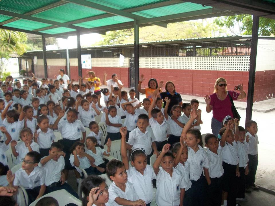
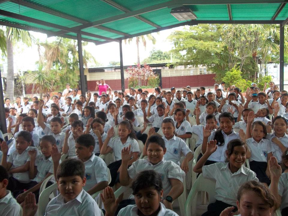
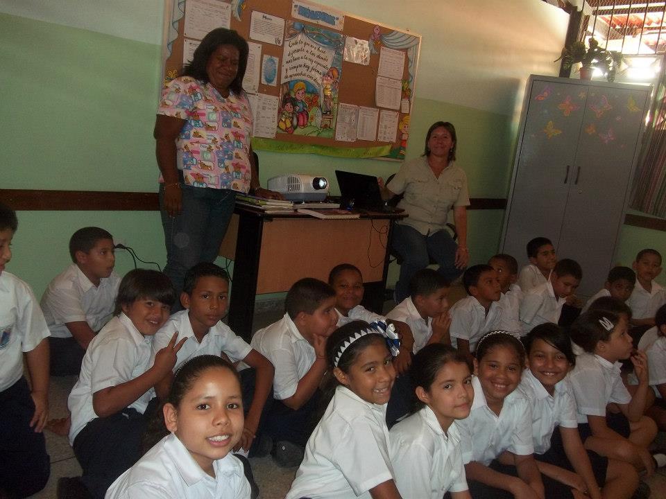
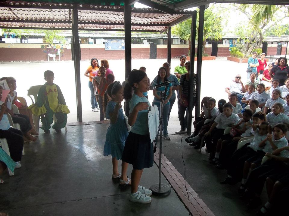
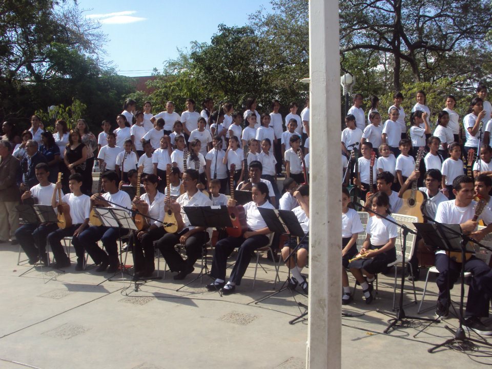
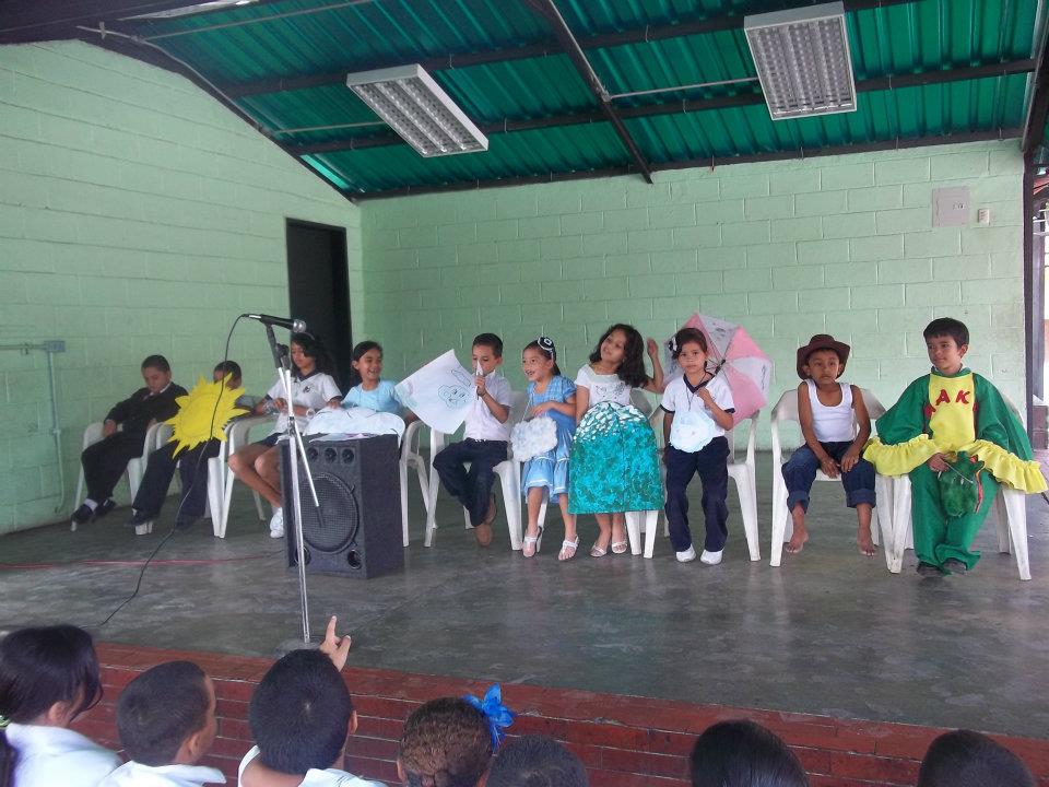
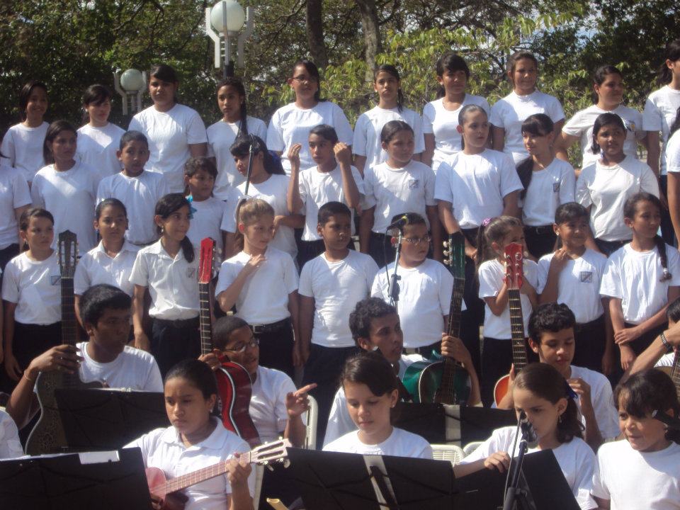
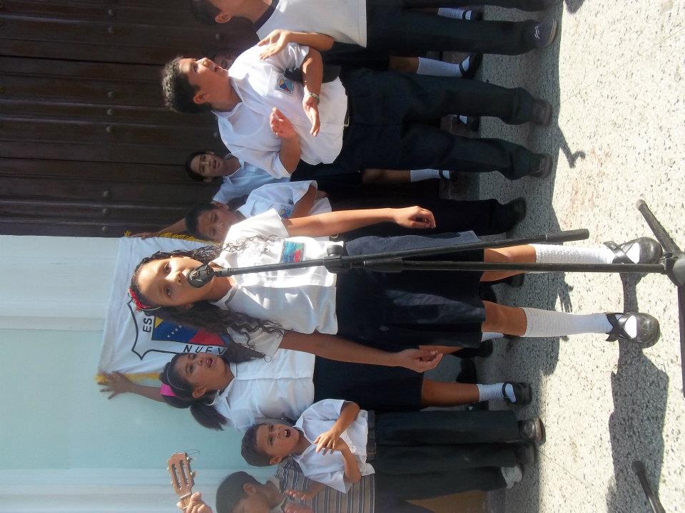
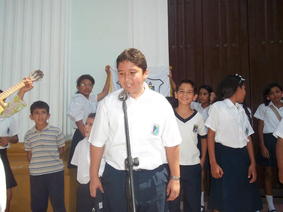
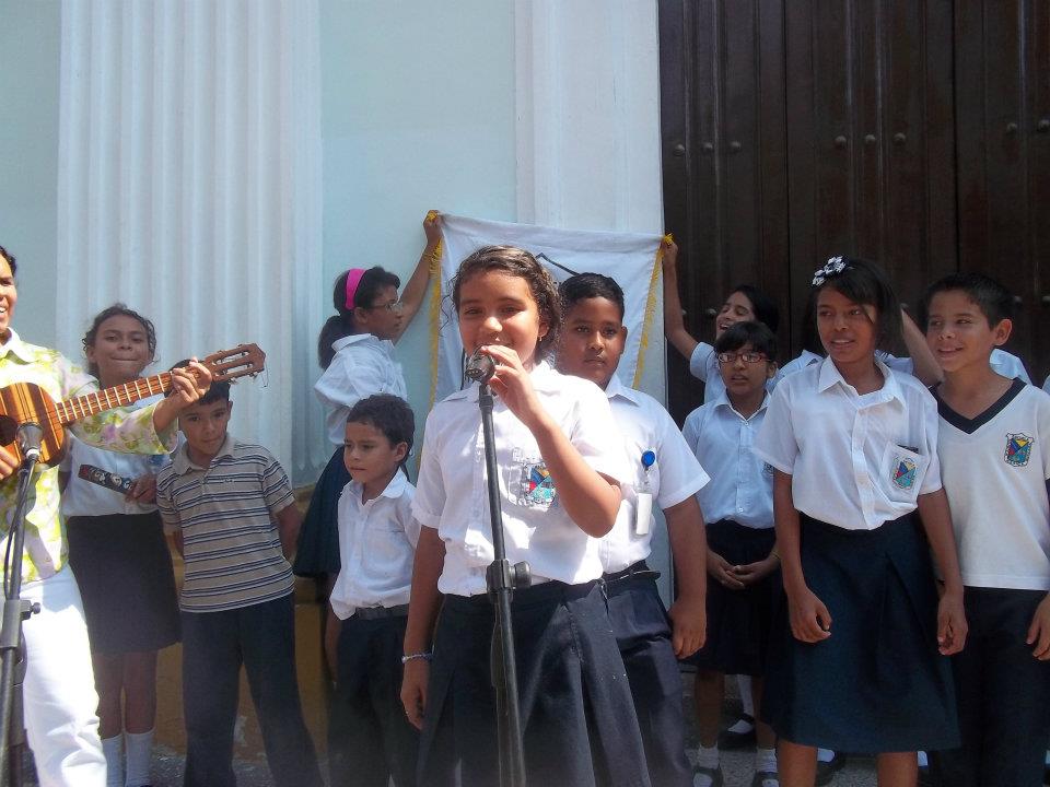
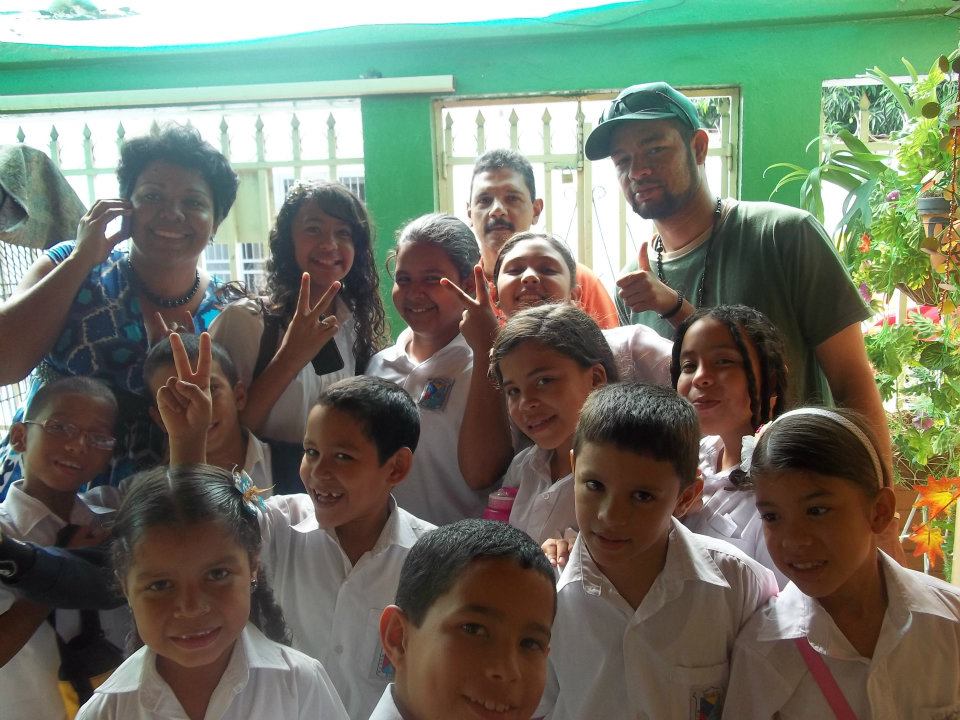
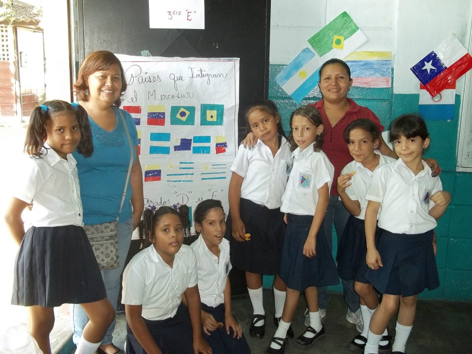
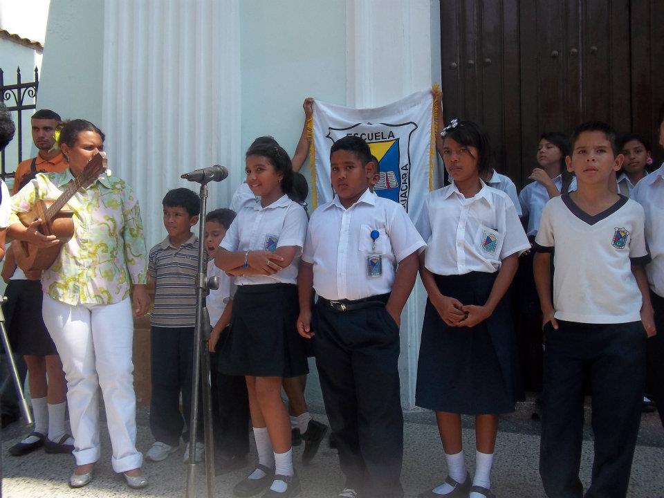
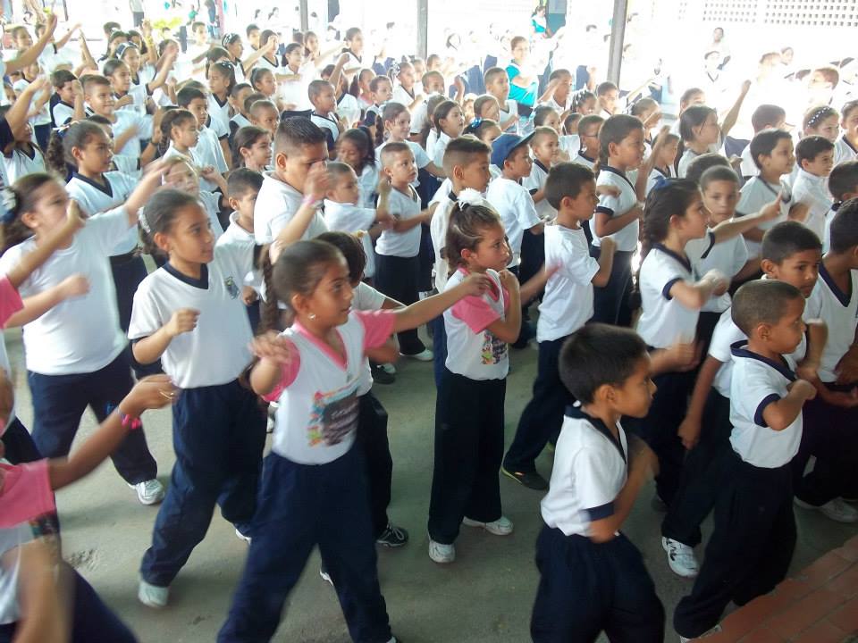
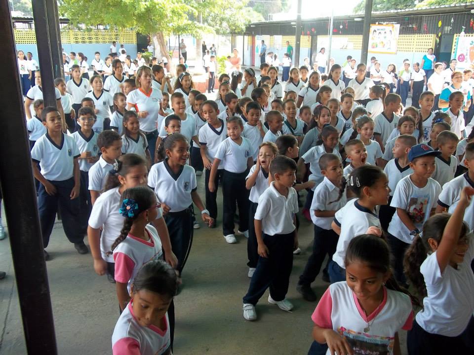
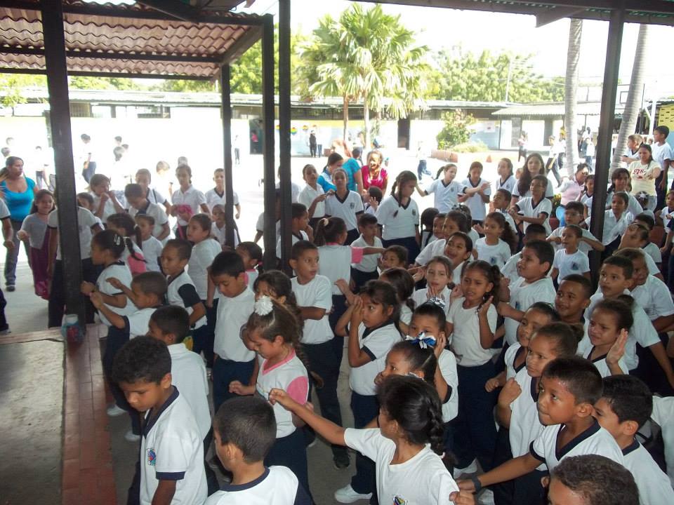
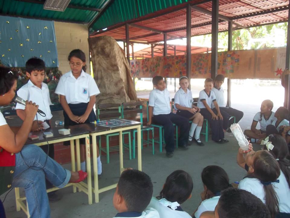
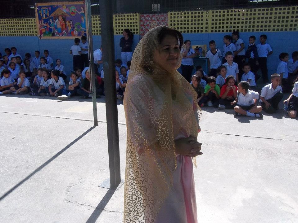
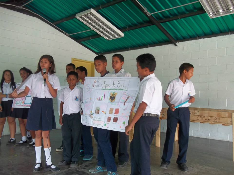
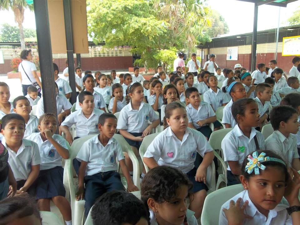
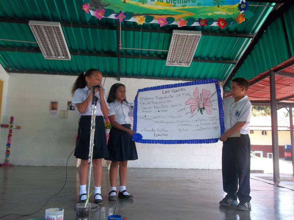
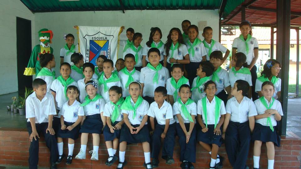
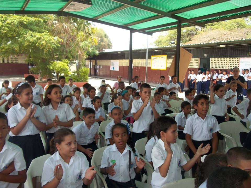
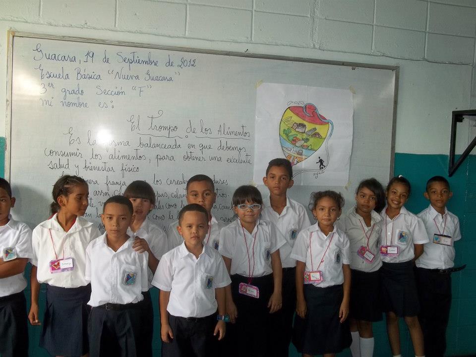
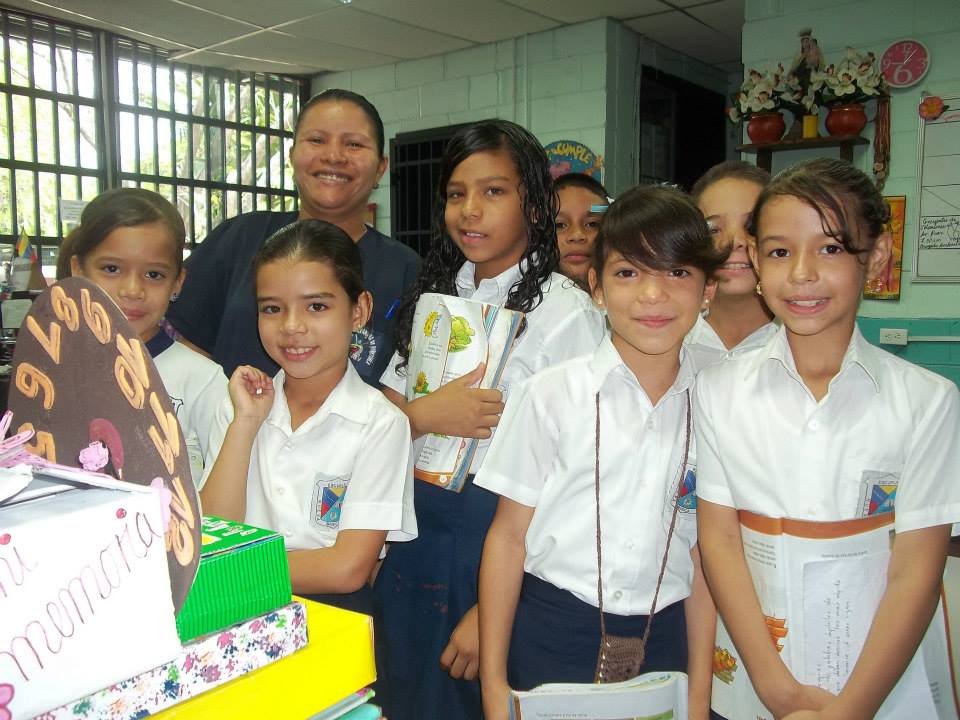
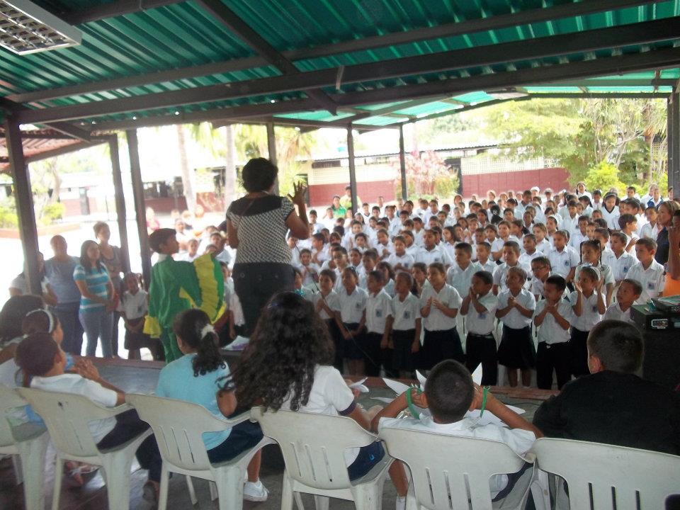
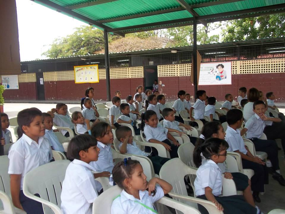
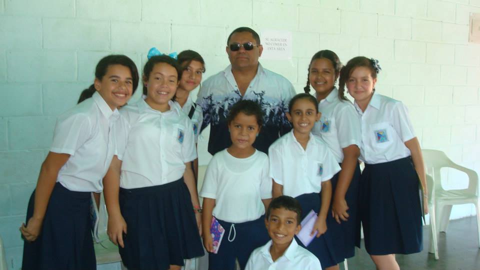
Otra tanda de fotos de la Escuela Basica Nacional Nueva Guacara, en Guacara, estado Carabobo:
Spoiler!
My Updated 23andme Results (2021)
My Updated AncestryDNA Results (2022)
My Global25 Coordinates (2020)
An Epic Thread about me opened by Profield
| Thumbs Up |
| Received: 19,523 Given: 37,001 |
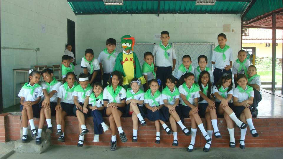
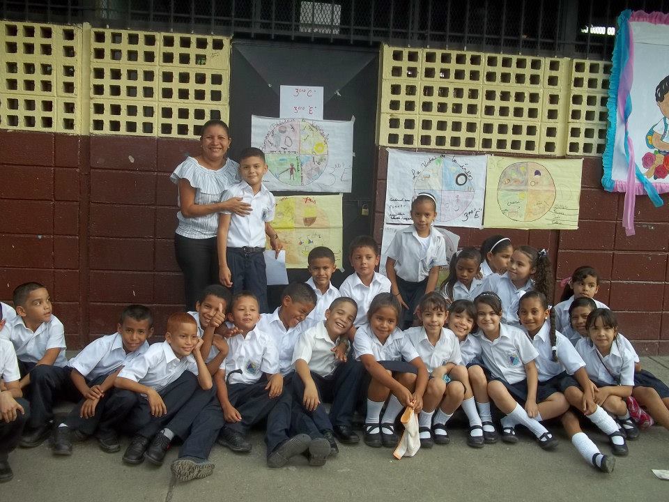
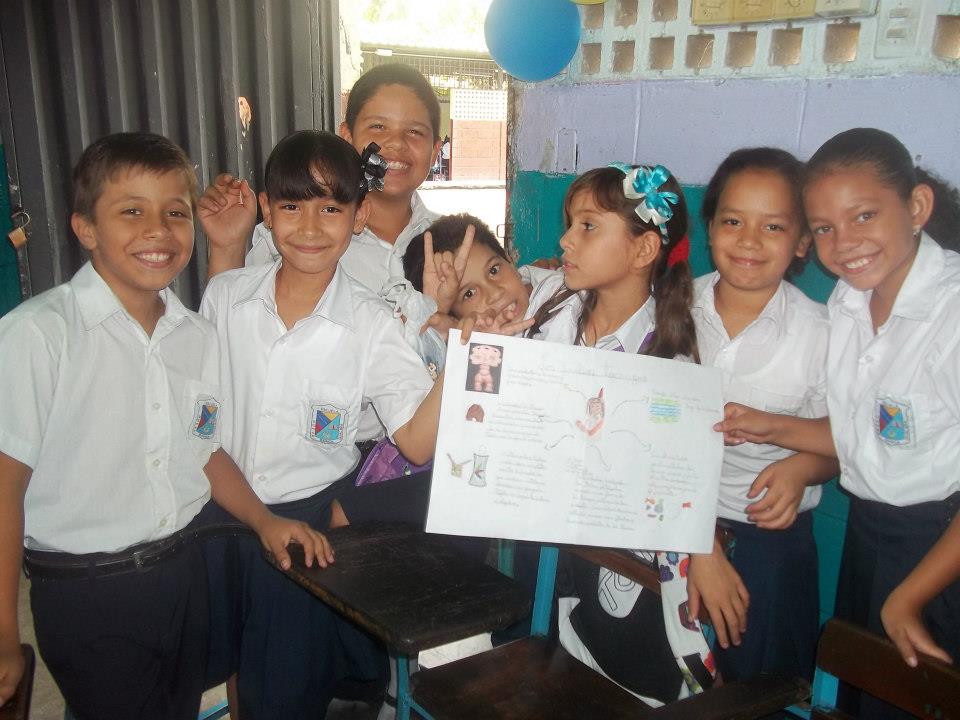
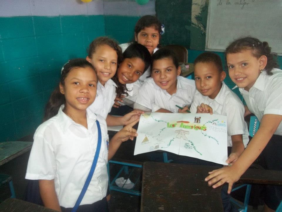
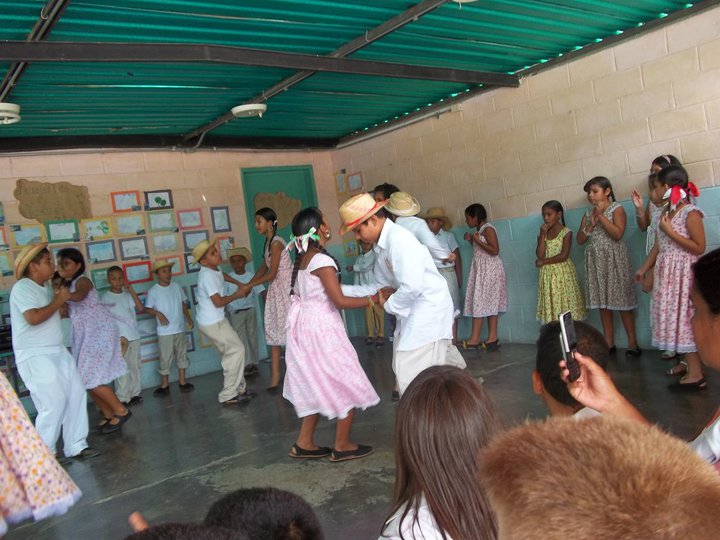
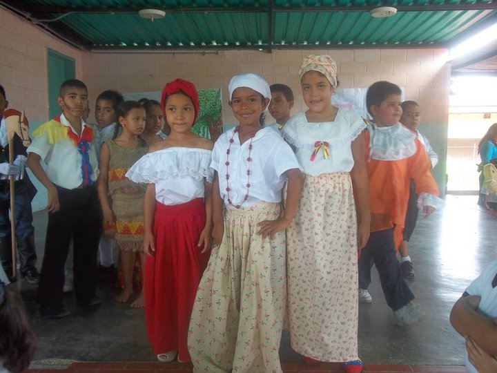
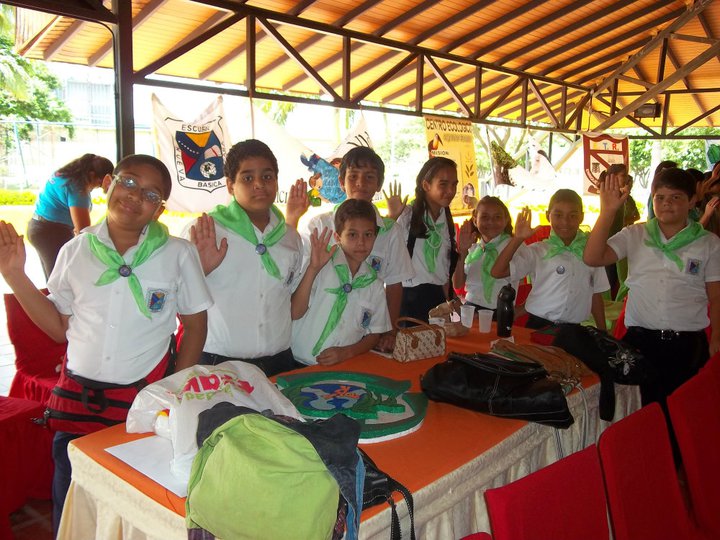
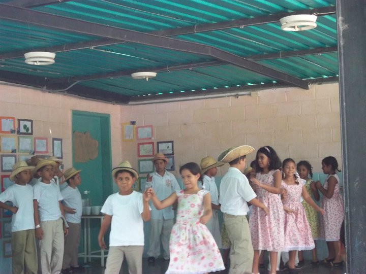
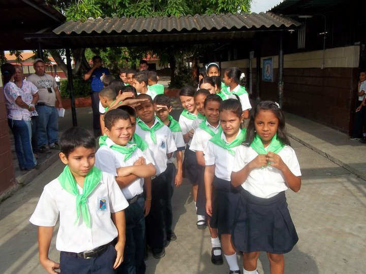
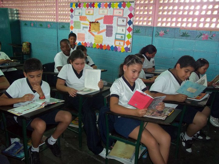
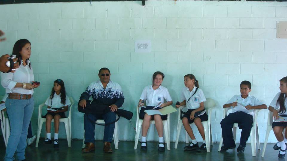
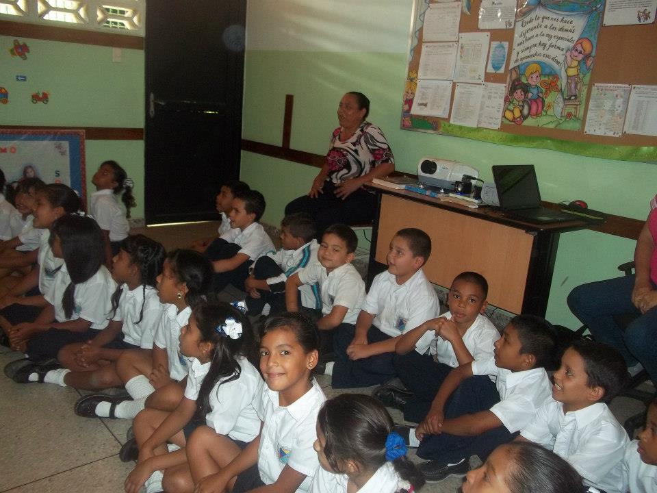
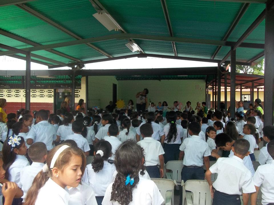
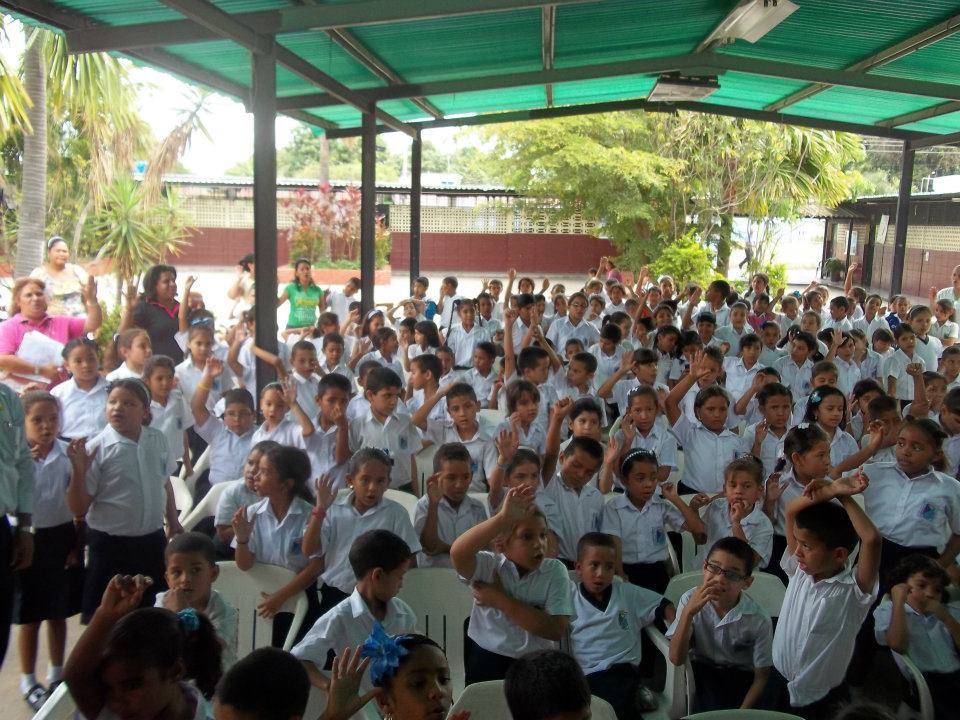
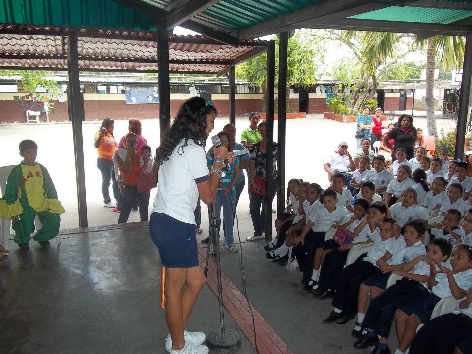
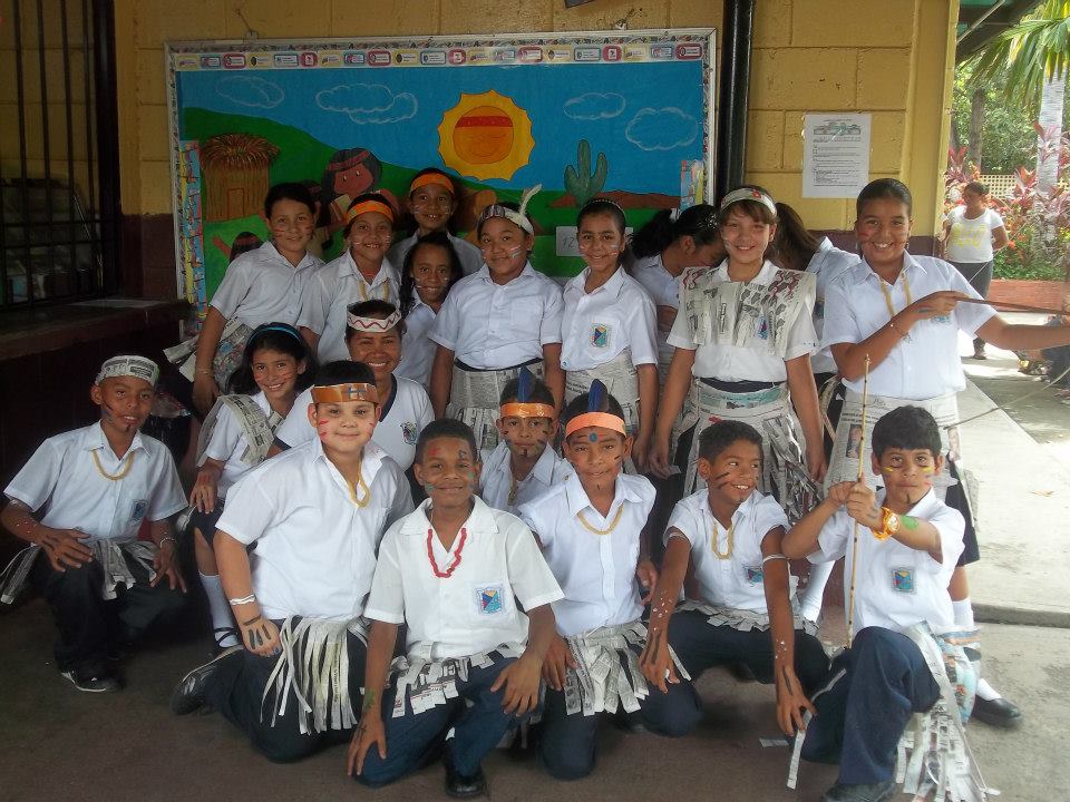
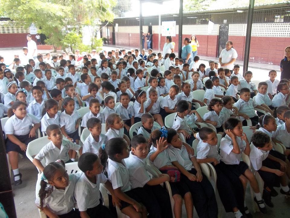
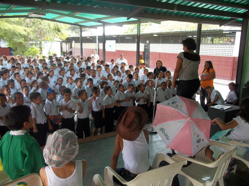
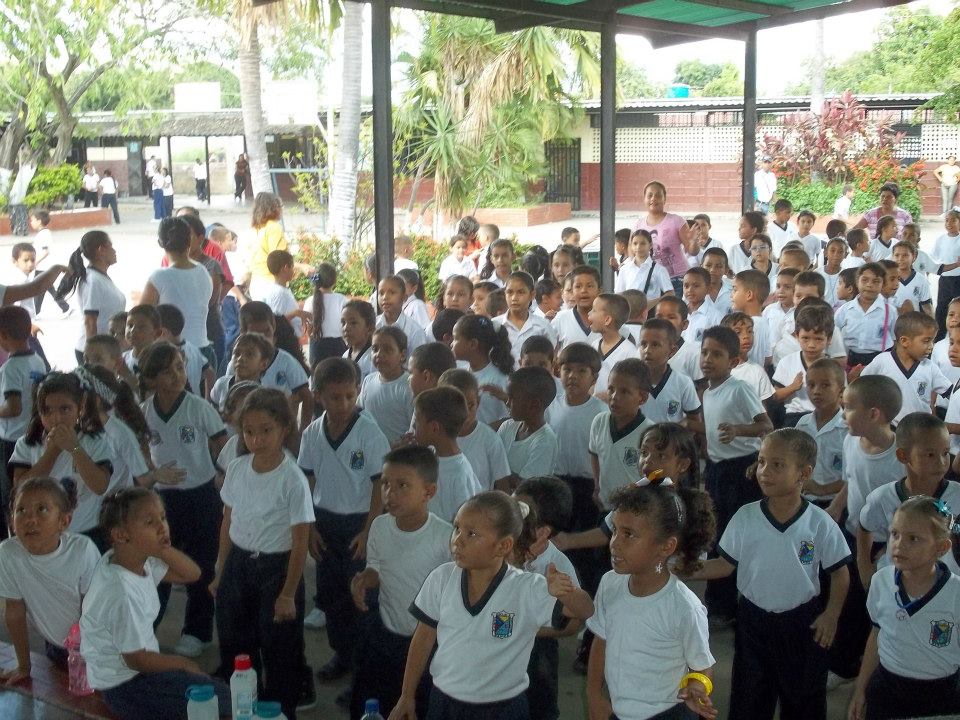
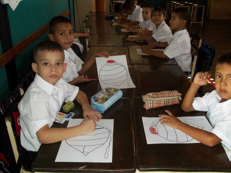
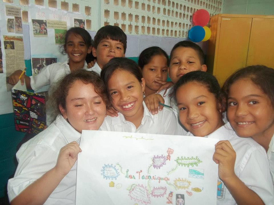
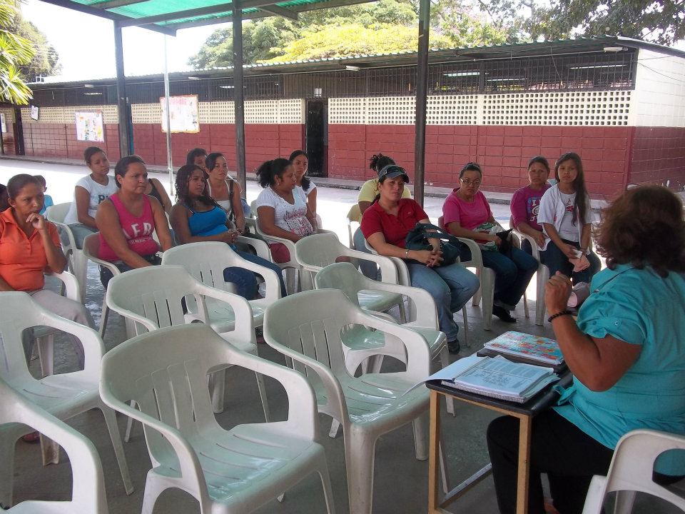
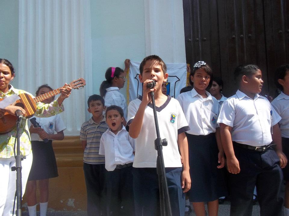
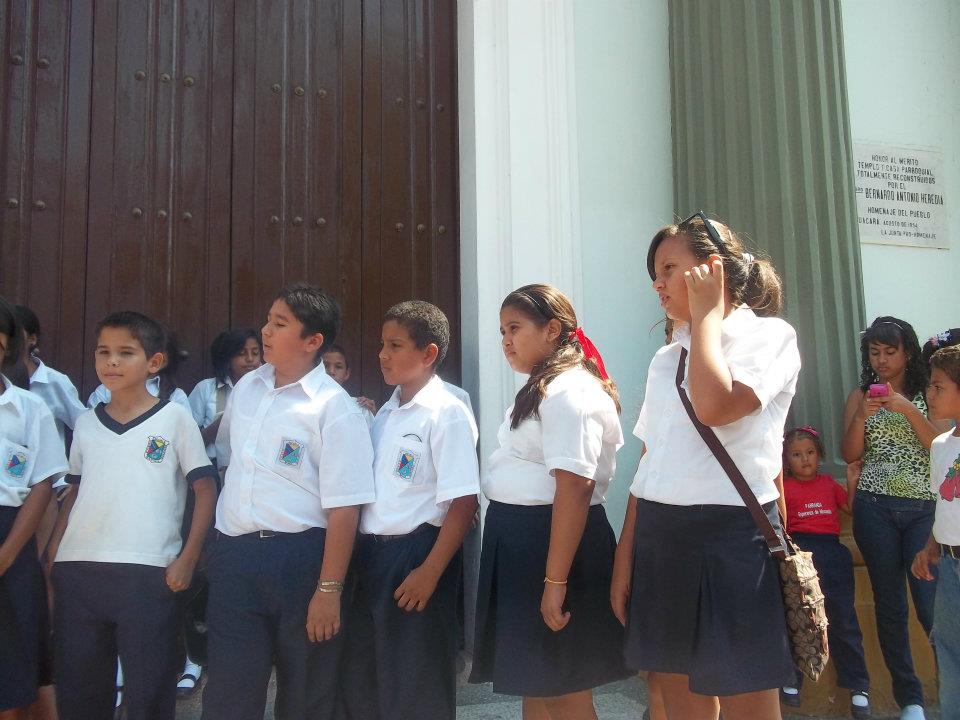
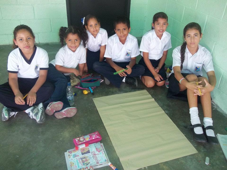
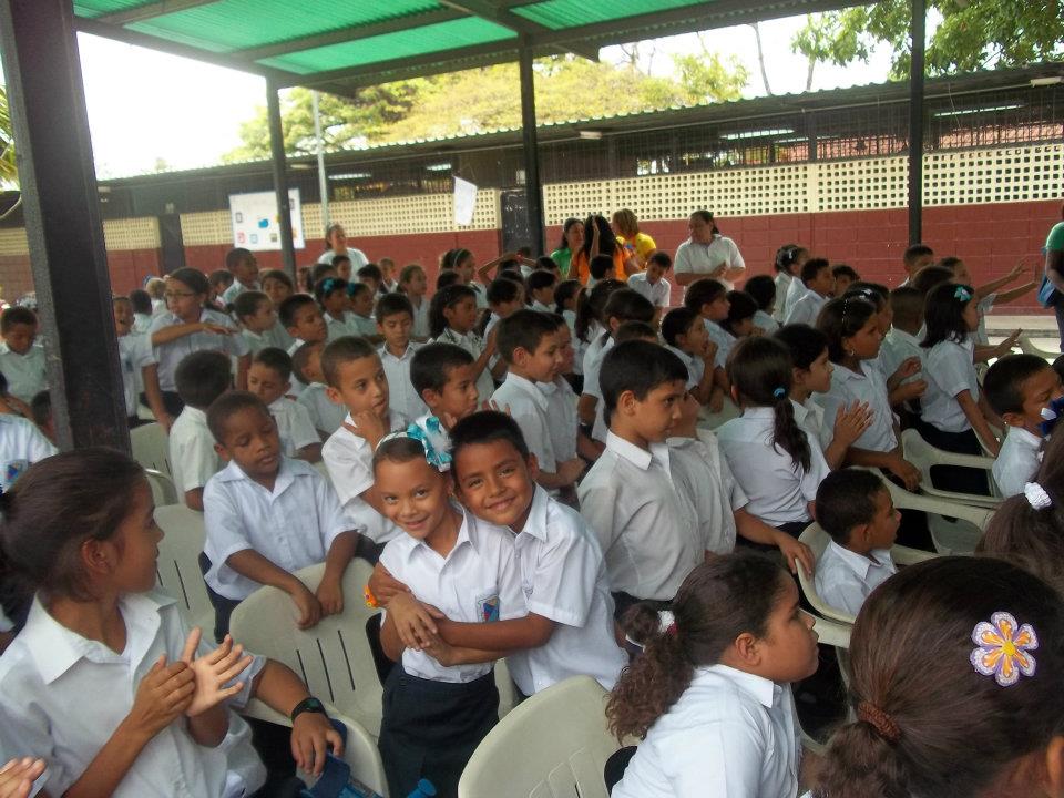
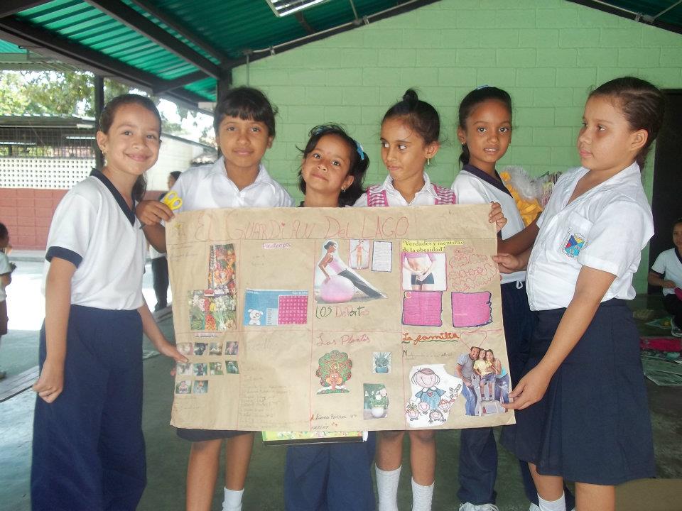
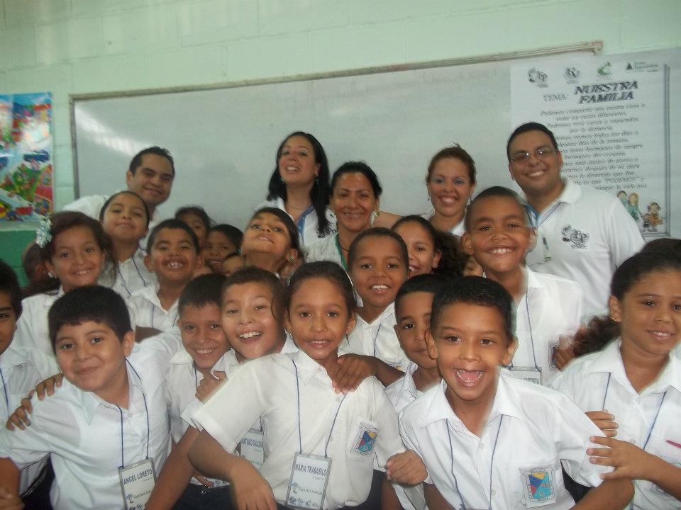
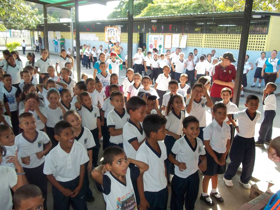
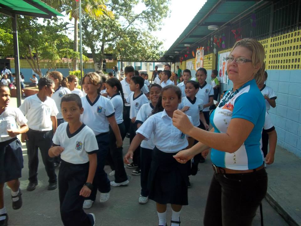
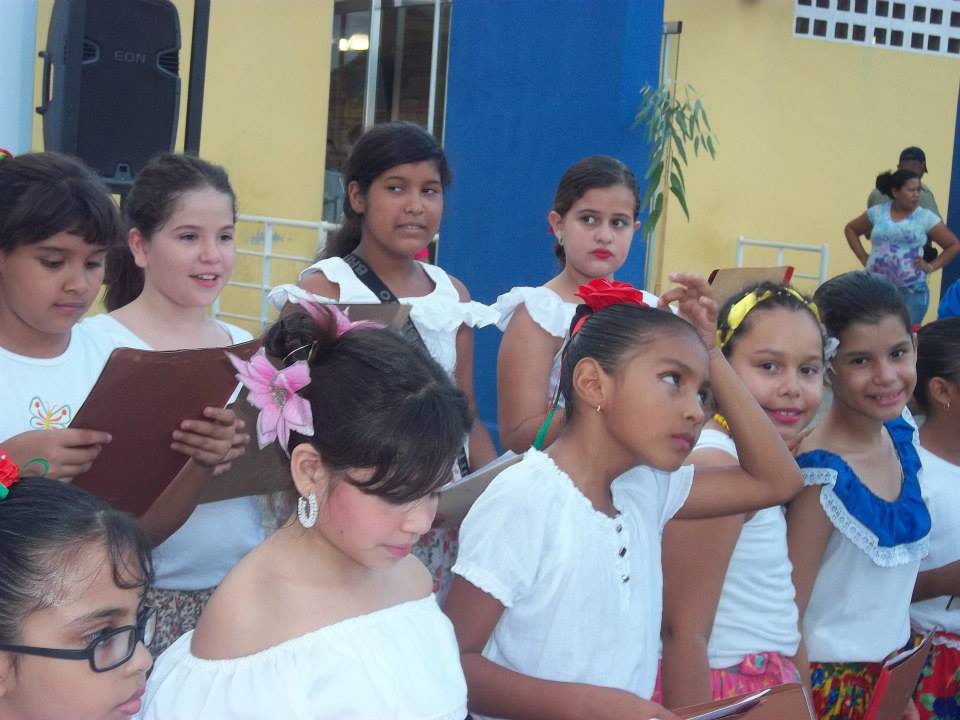
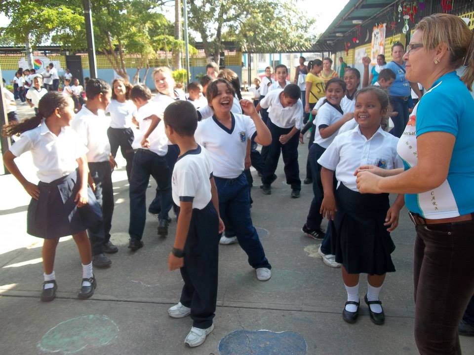
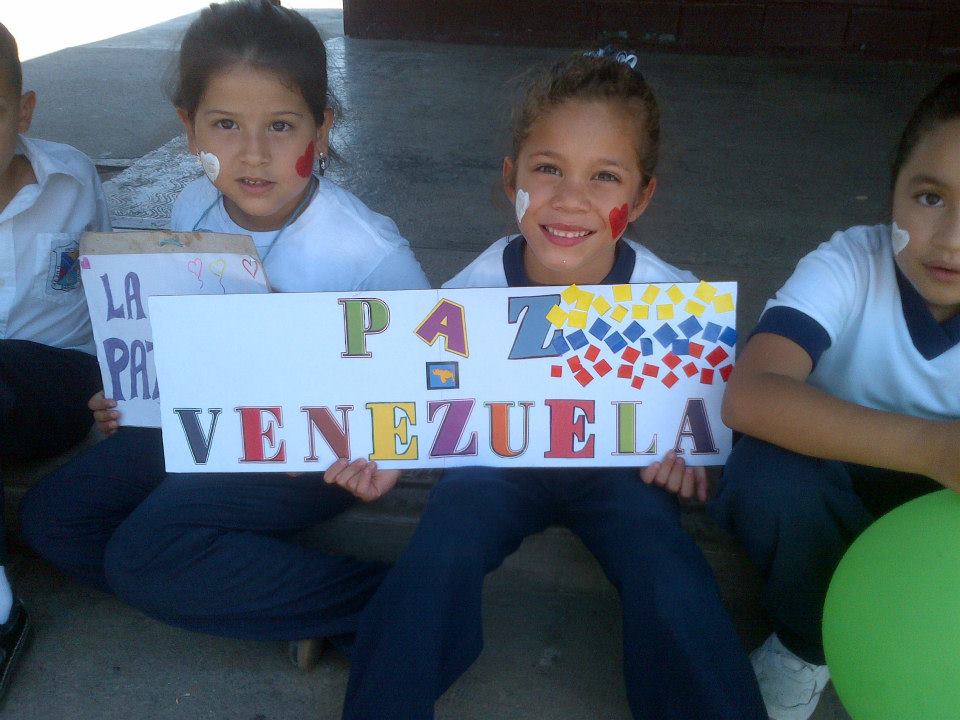
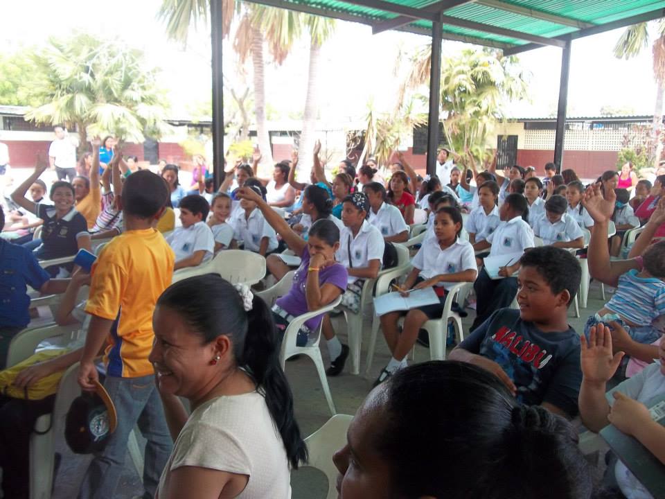
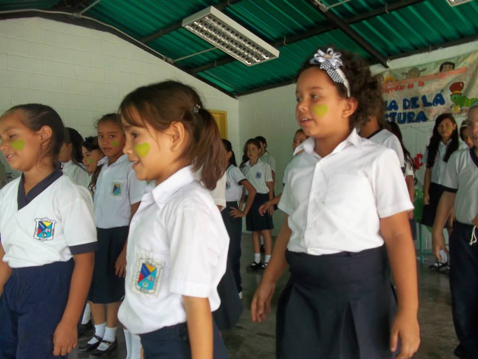
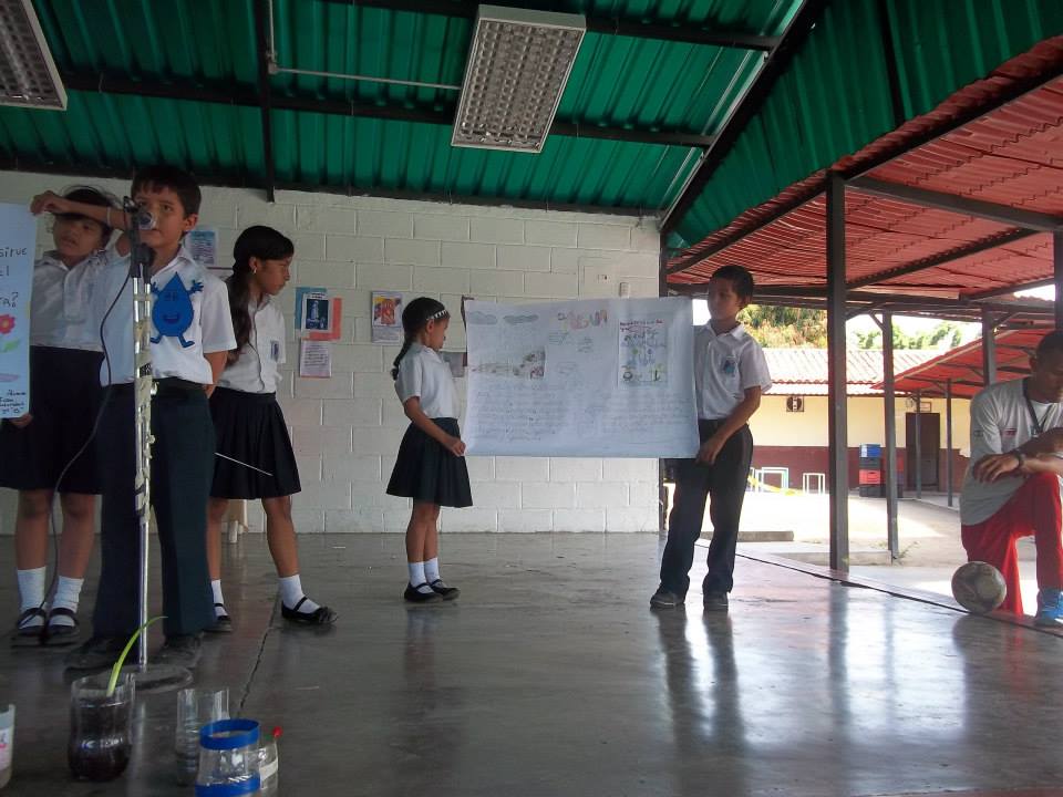
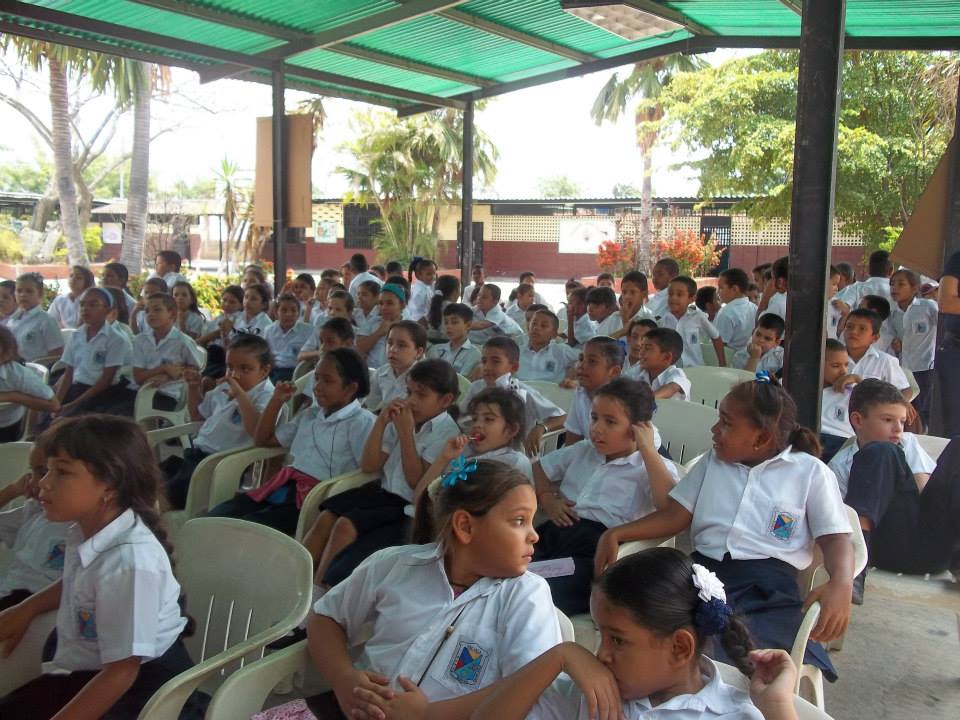
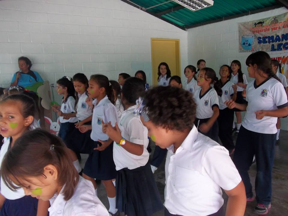
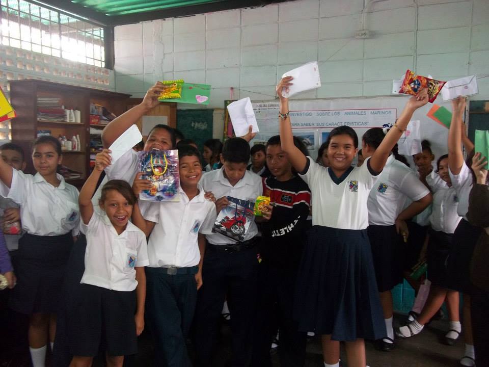
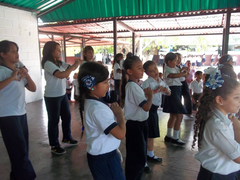
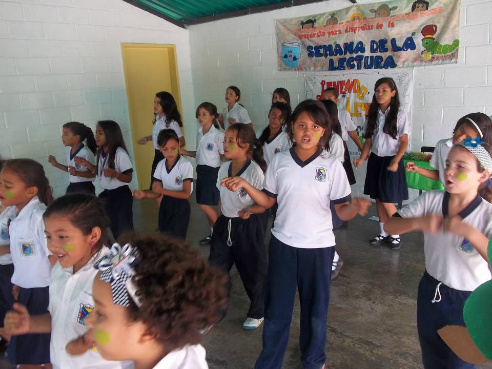
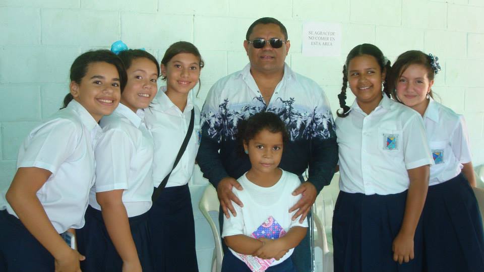
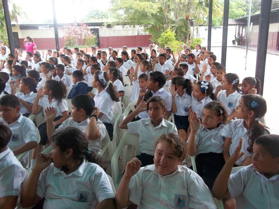
Mas de la Escuela Basica Nacional Nueva Guacara, en Guacara, estado Carabobo, a escasos kilometros al este de Valencia:
Spoiler!
My Updated 23andme Results (2021)
My Updated AncestryDNA Results (2022)
My Global25 Coordinates (2020)
An Epic Thread about me opened by Profield
| Thumbs Up |
| Received: 19,523 Given: 37,001 |
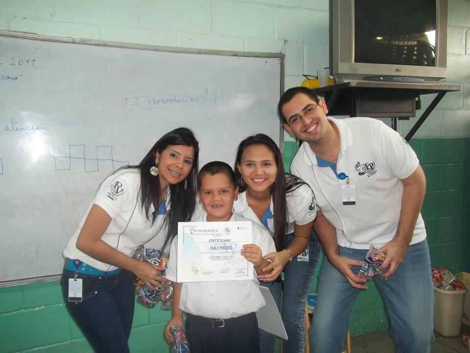
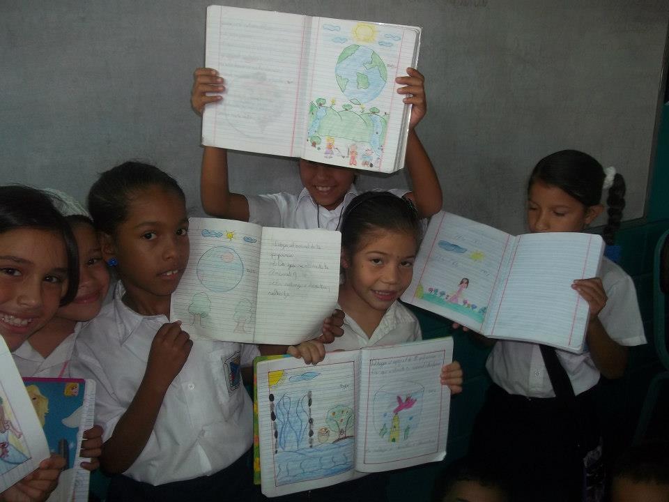
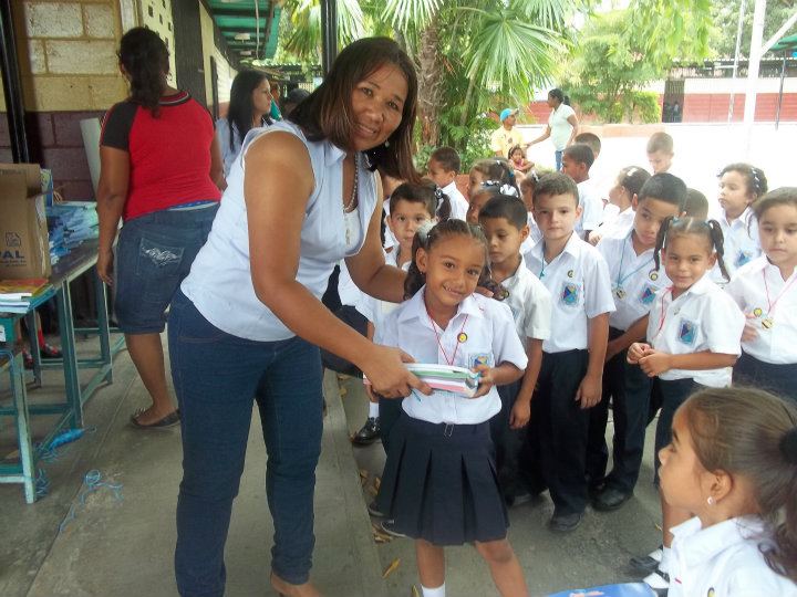
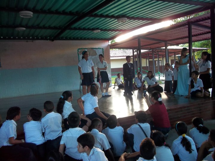
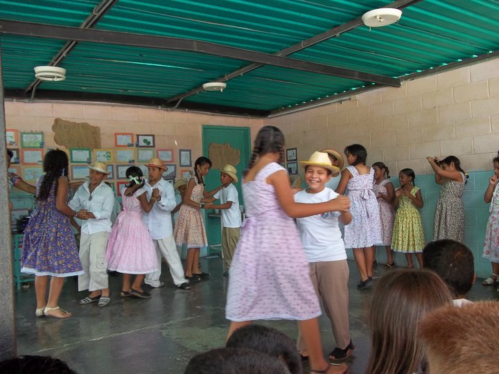
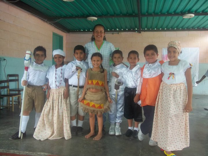
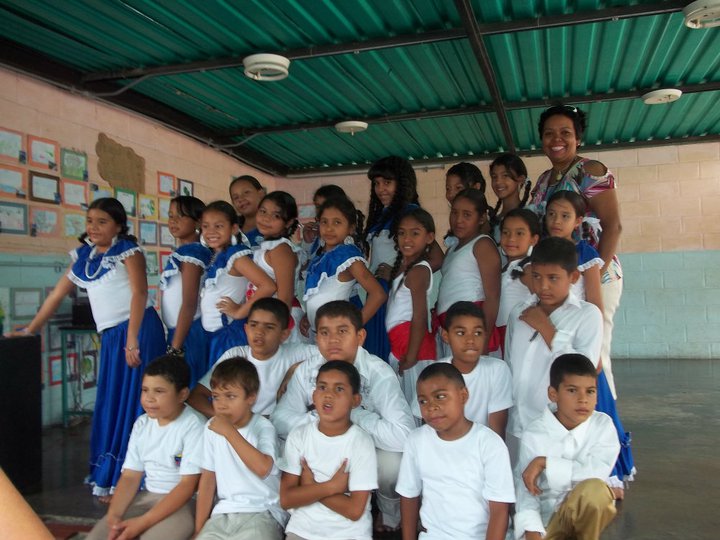
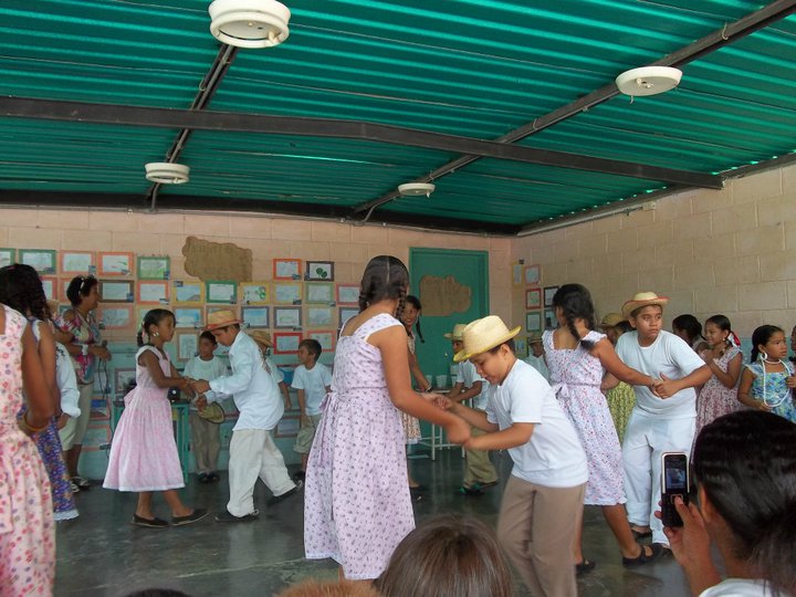
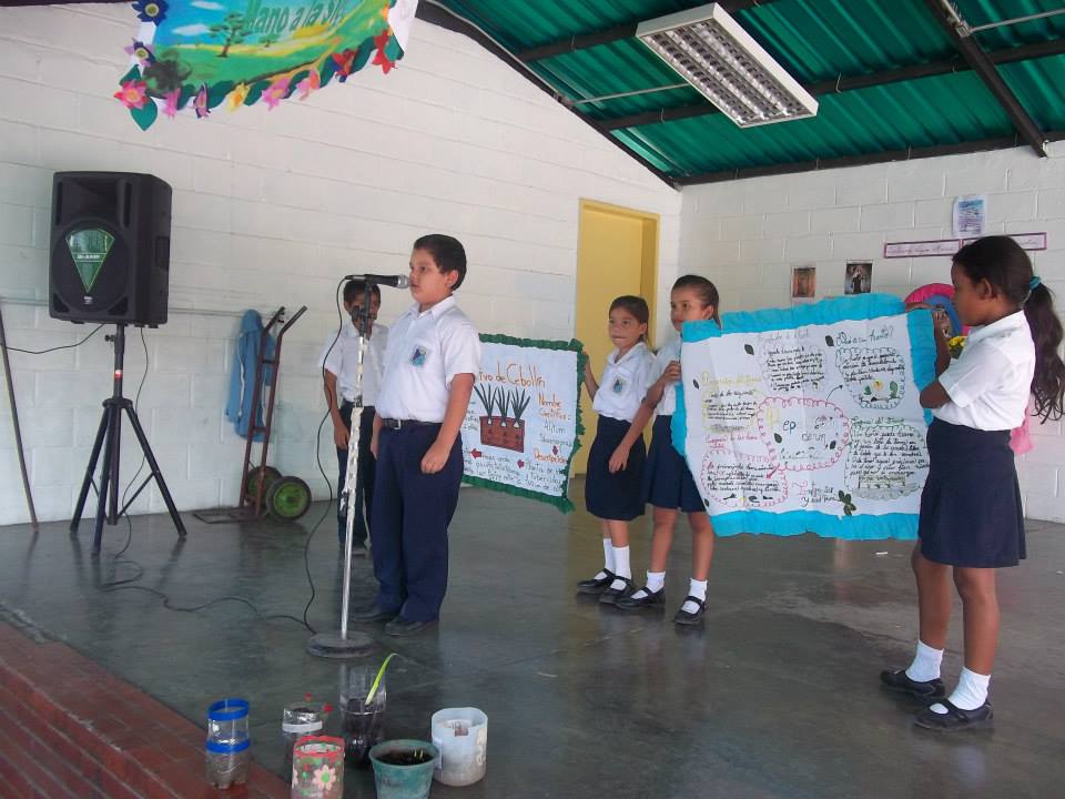
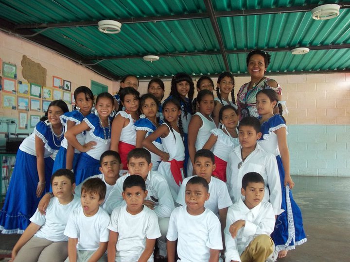
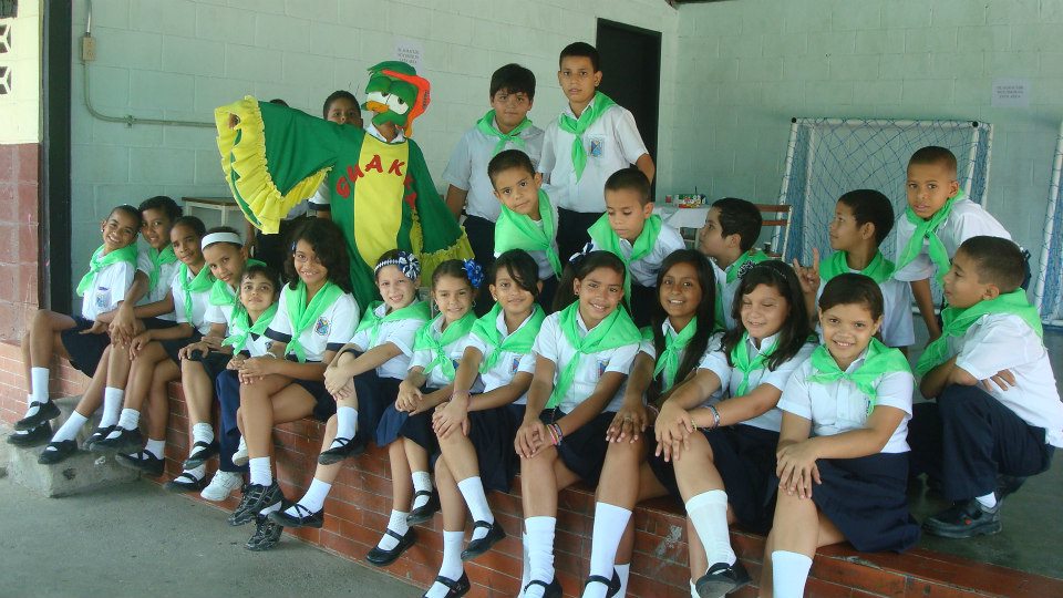
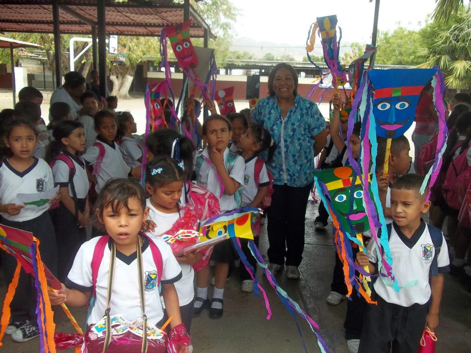
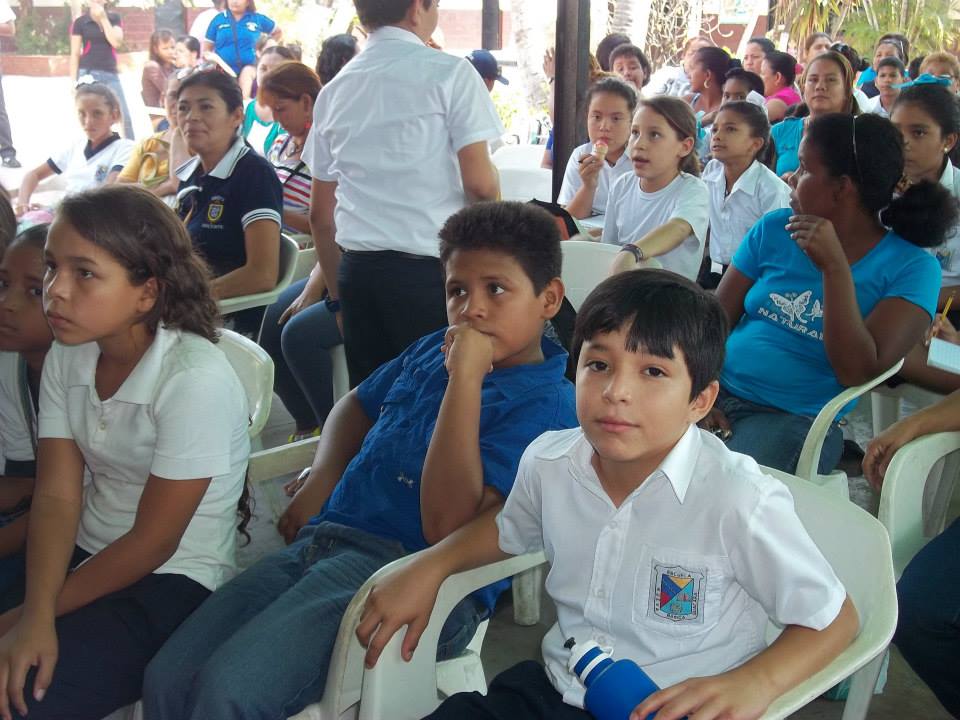
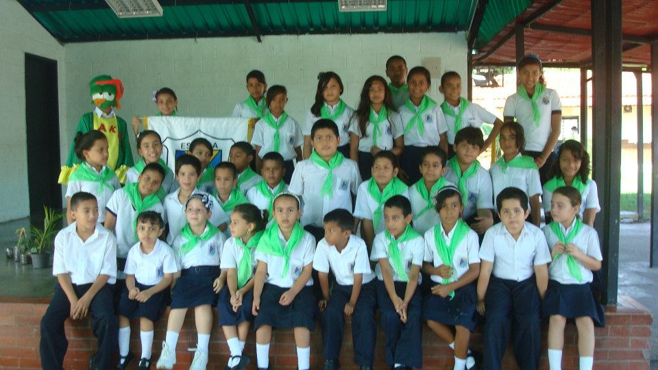
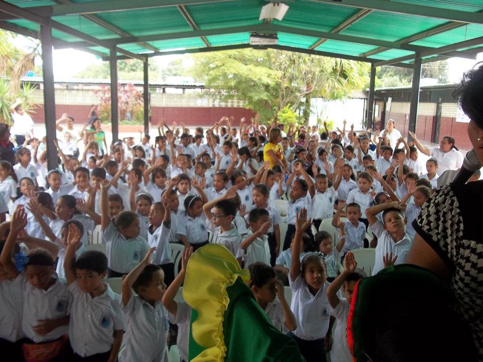
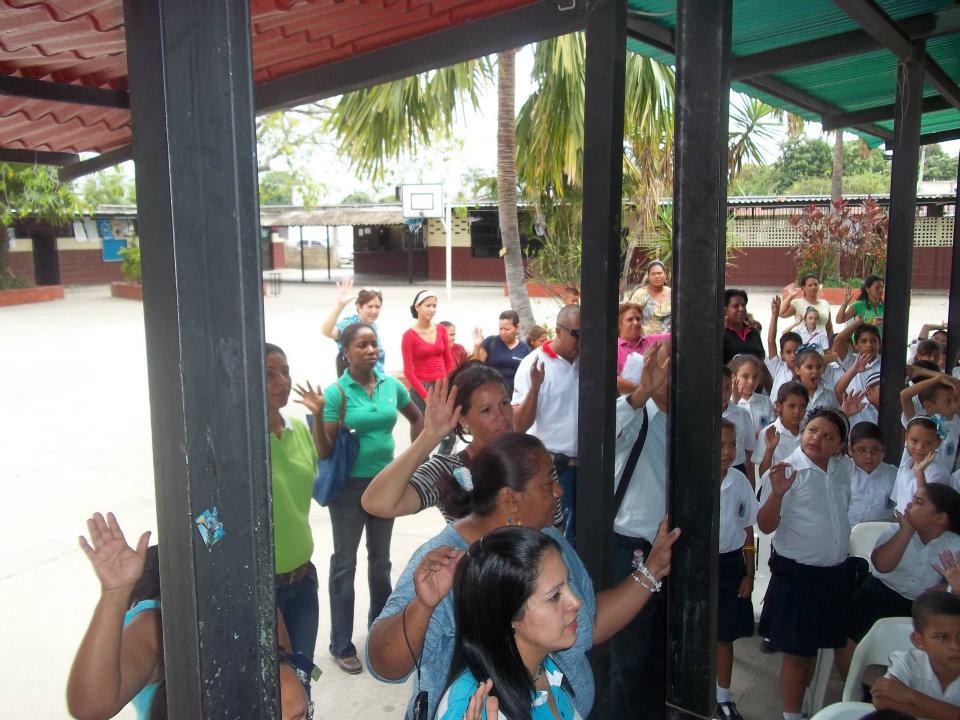
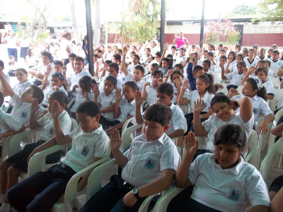
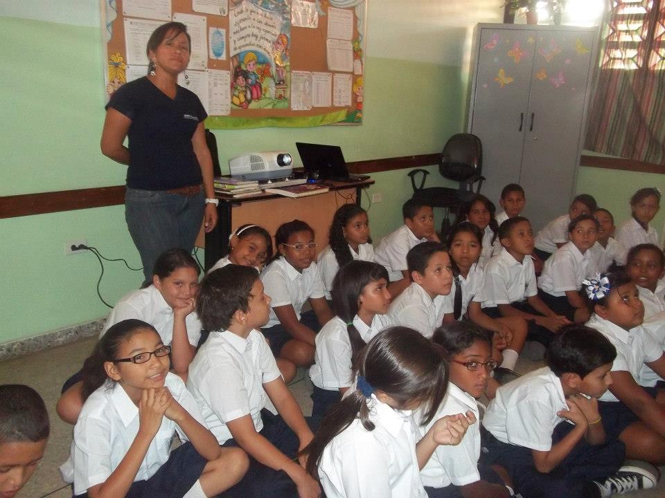
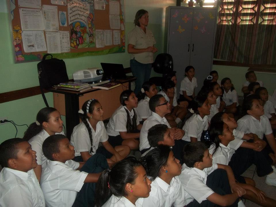
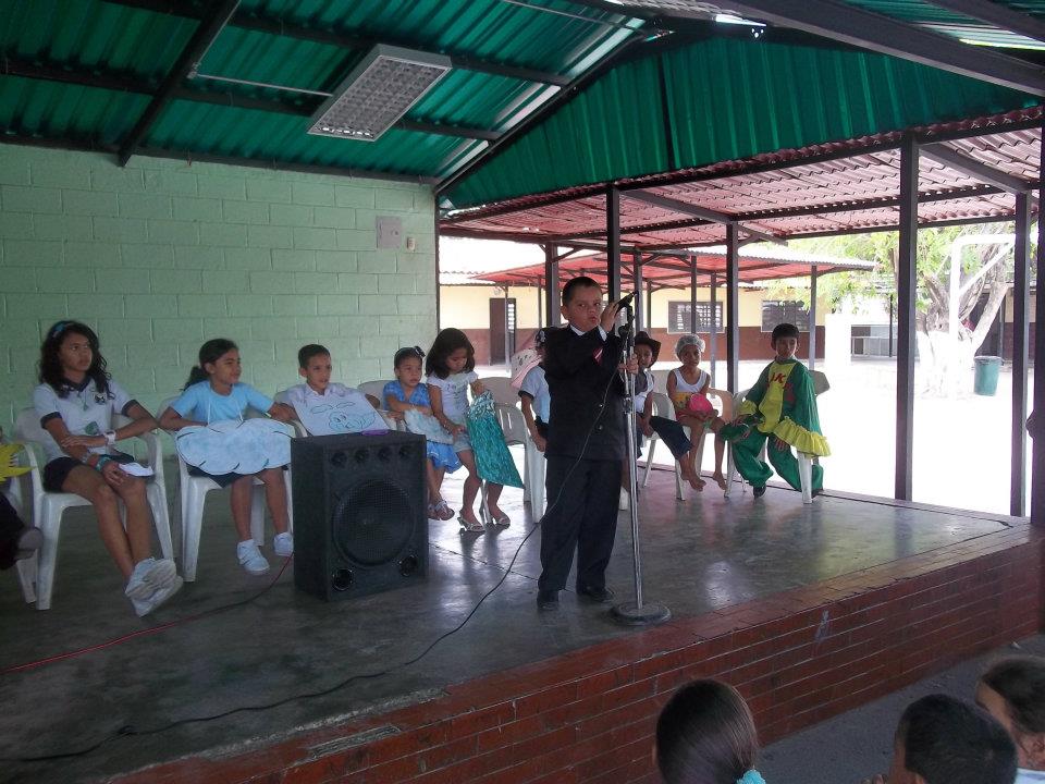
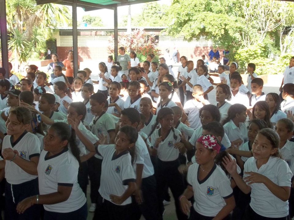
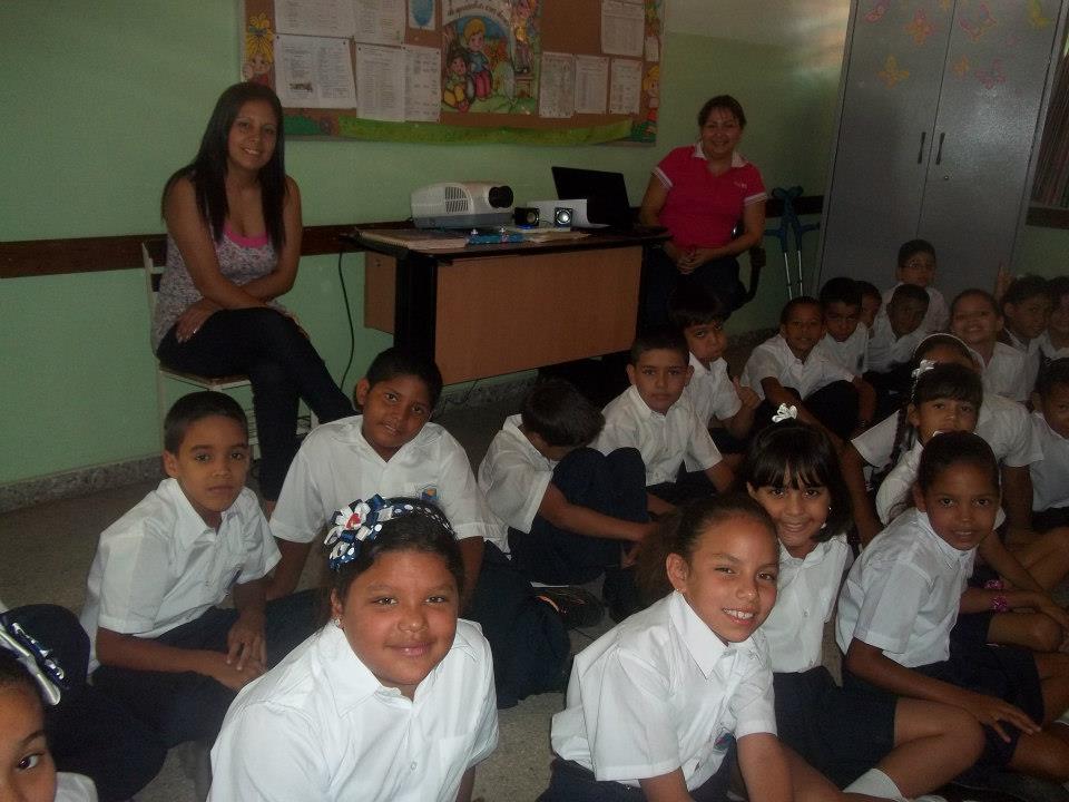
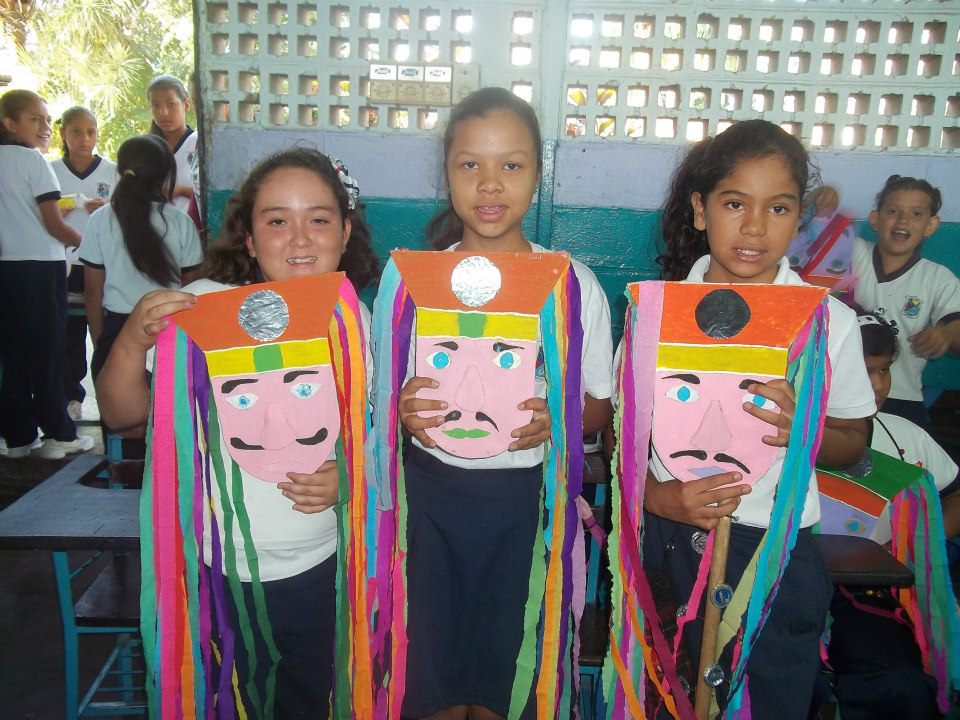
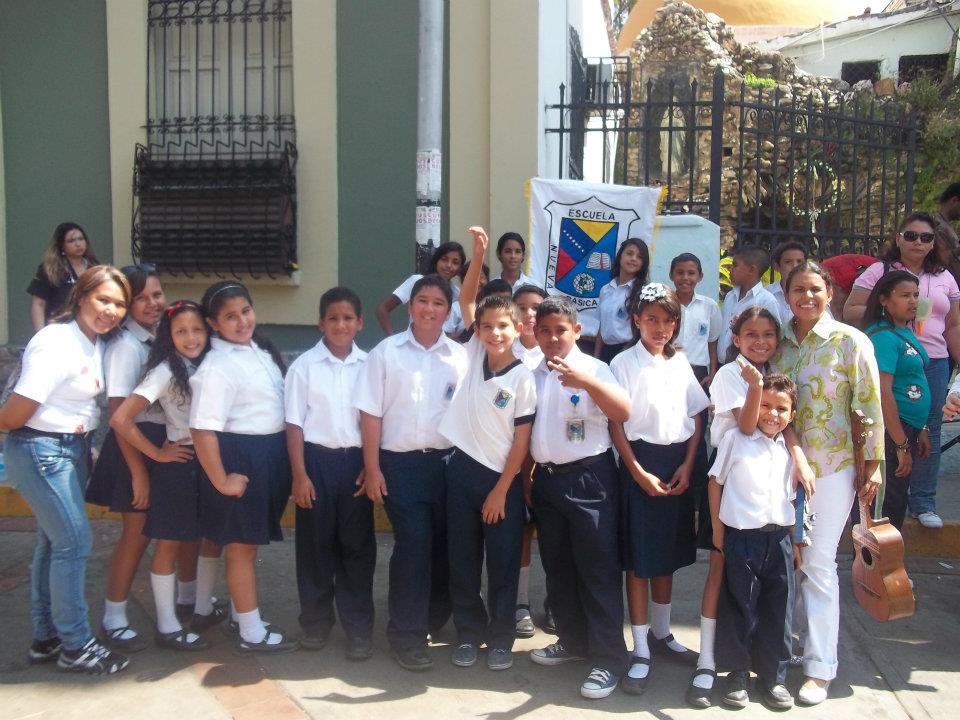
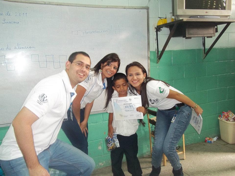
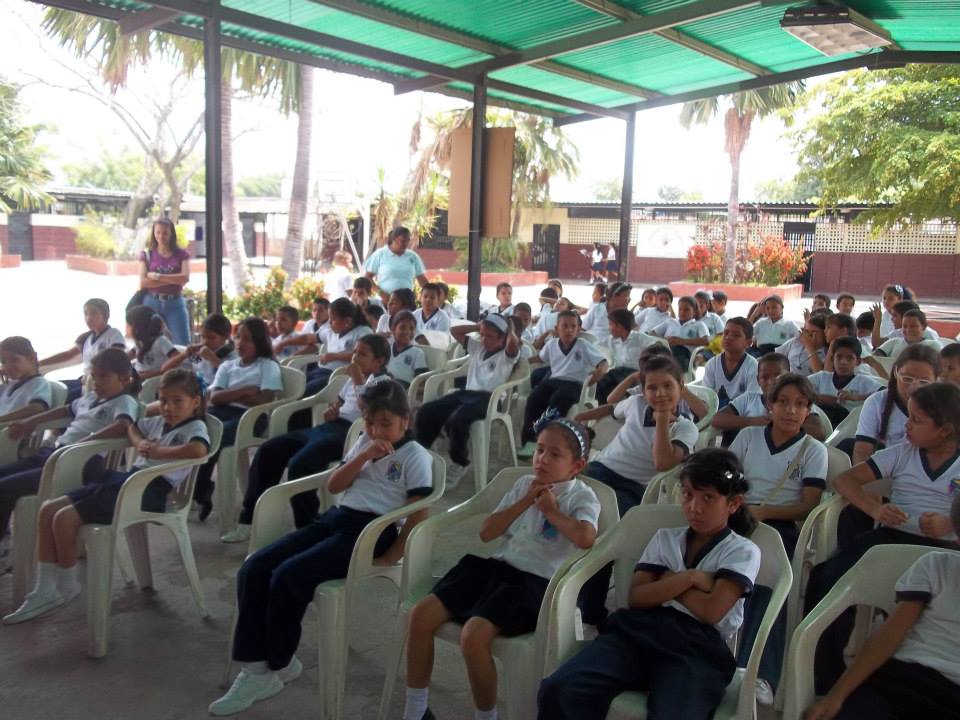
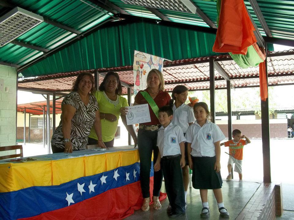
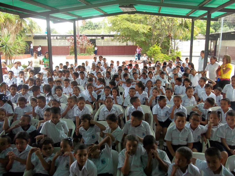
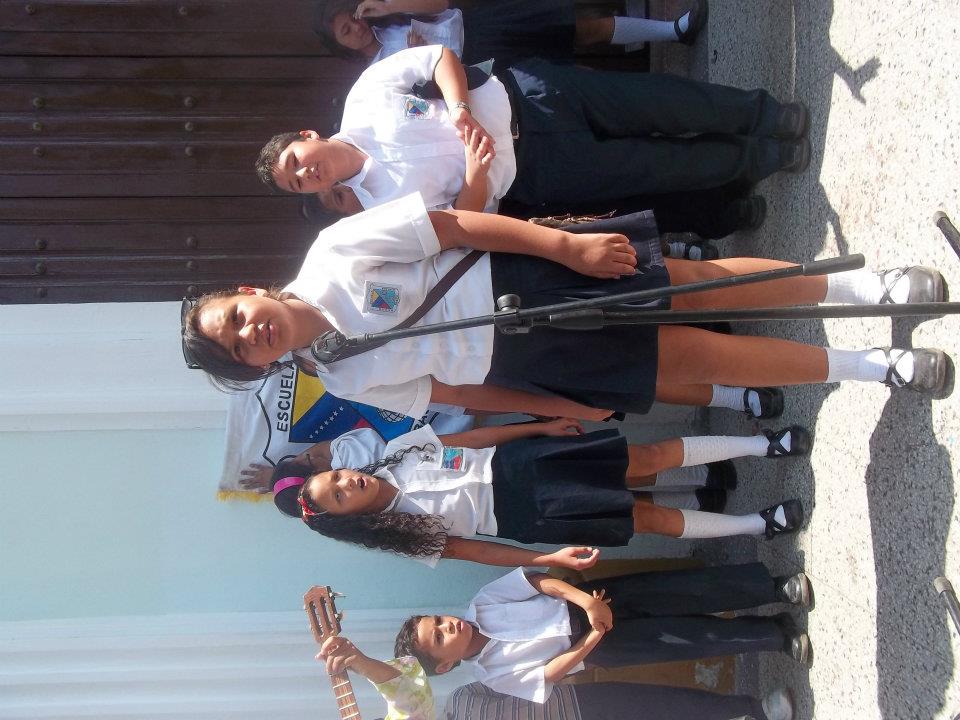
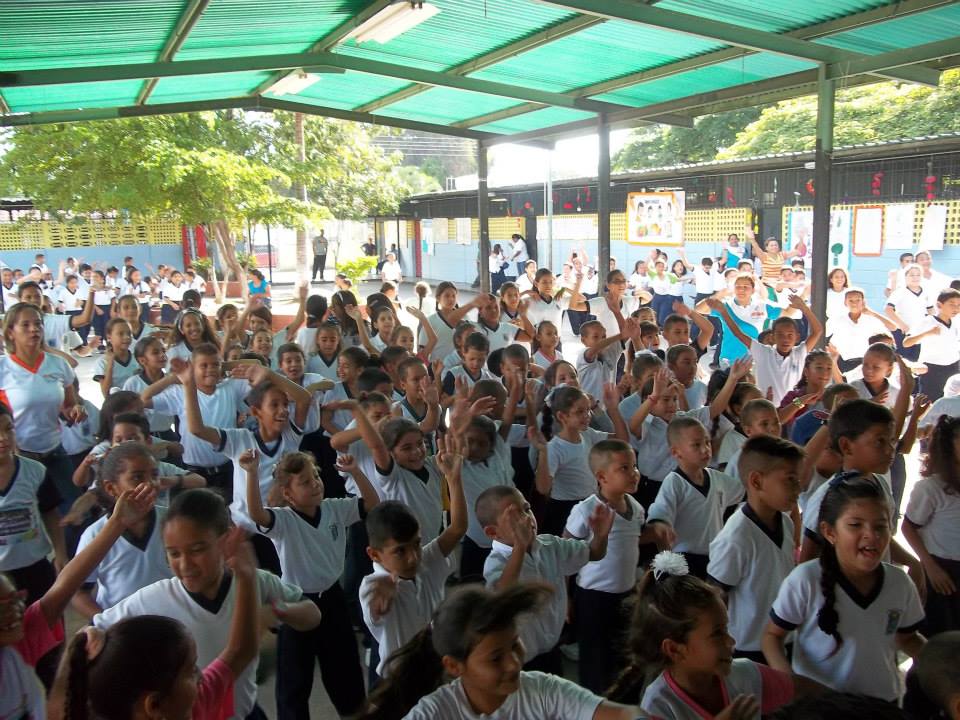
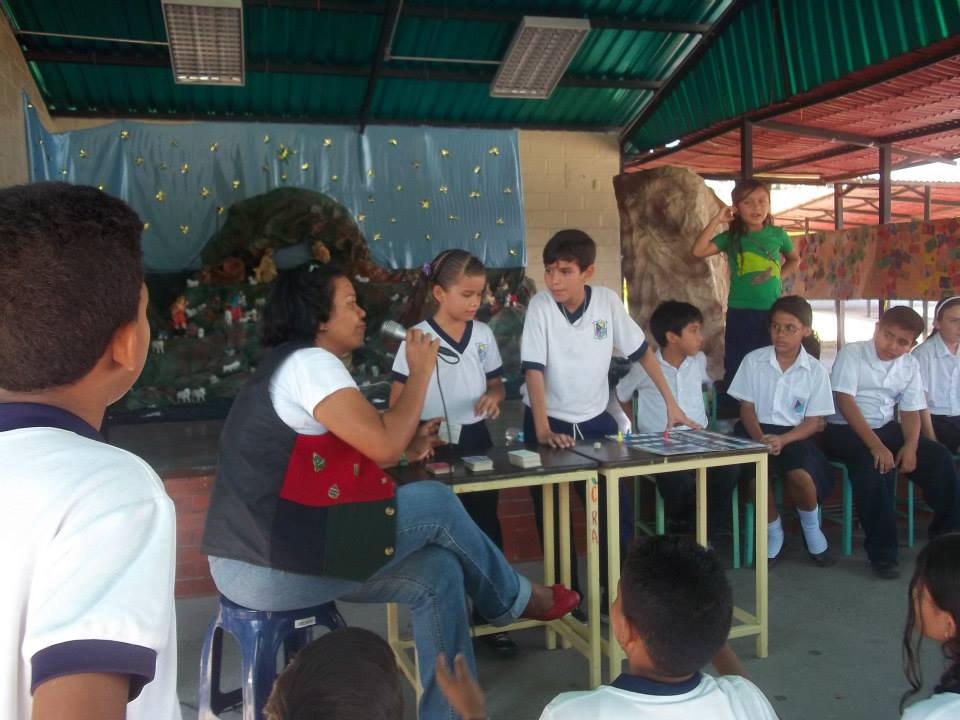
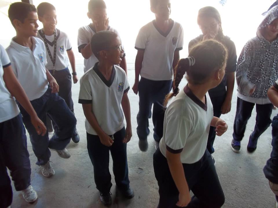
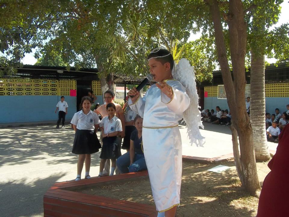
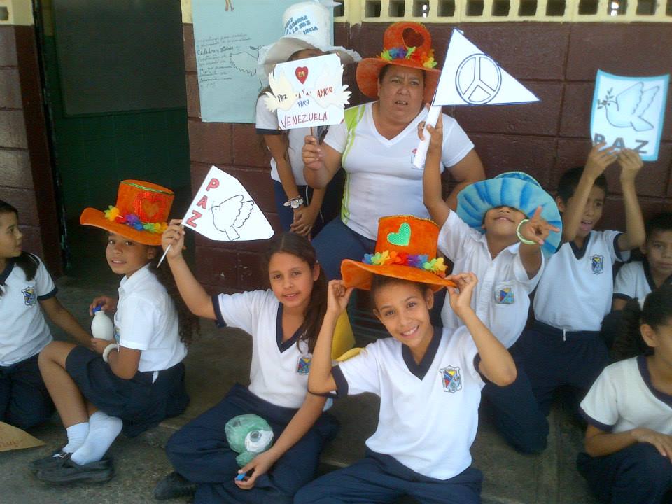
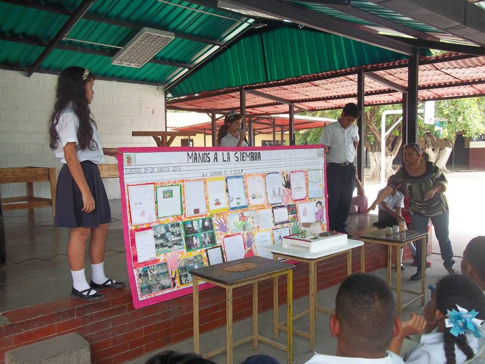
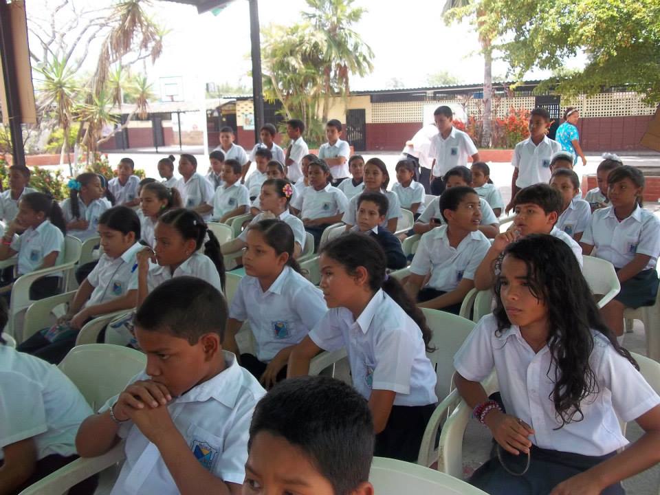
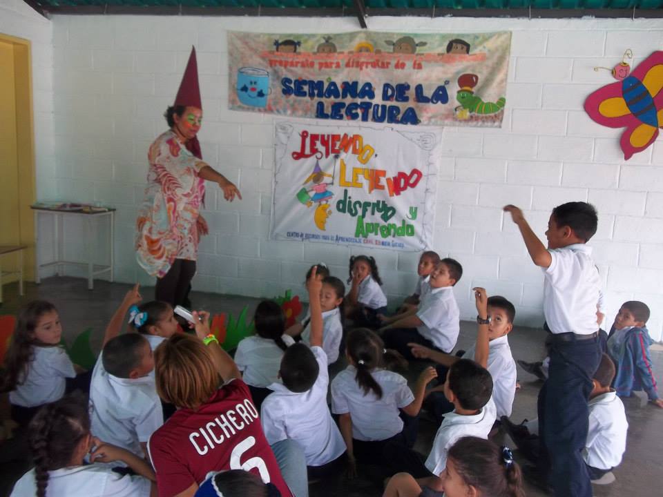
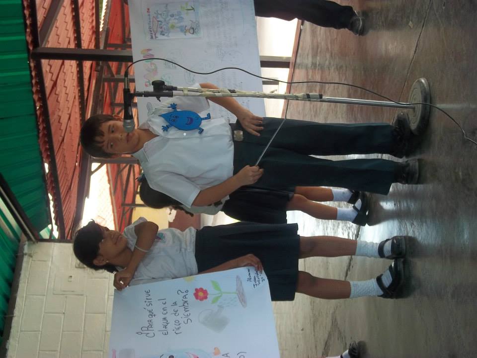
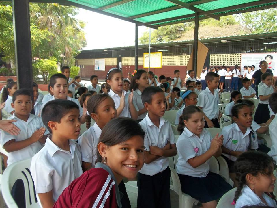
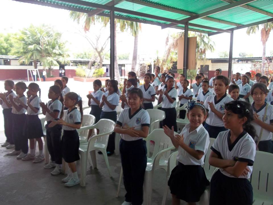
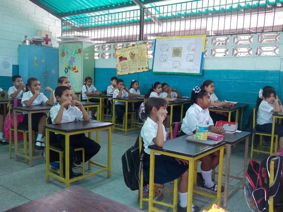
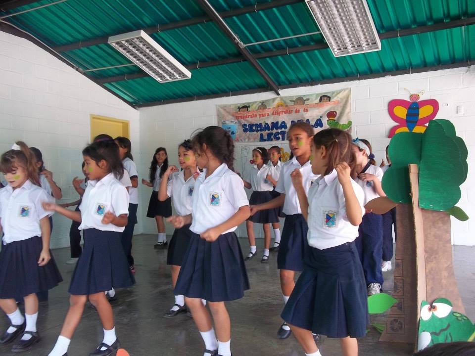
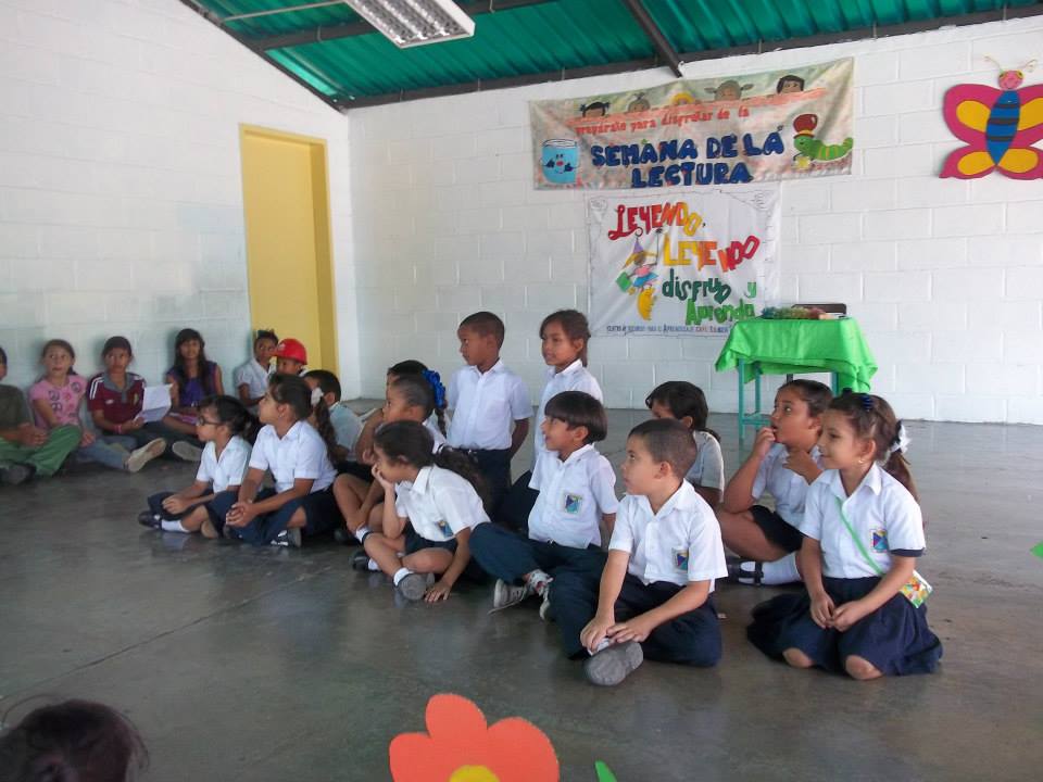
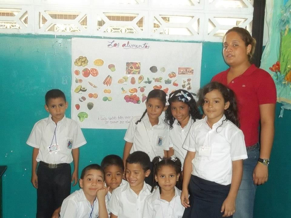
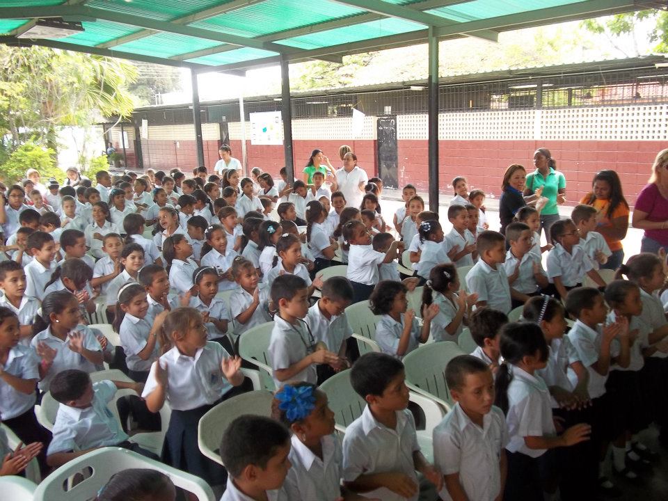
Mas fotos de la Escuela Basica Nacional Nueva Guacara, en Guacara, estado Carabobo:
Spoiler!
My Updated 23andme Results (2021)
My Updated AncestryDNA Results (2022)
My Global25 Coordinates (2020)
An Epic Thread about me opened by Profield
| Thumbs Up |
| Received: 19,523 Given: 37,001 |
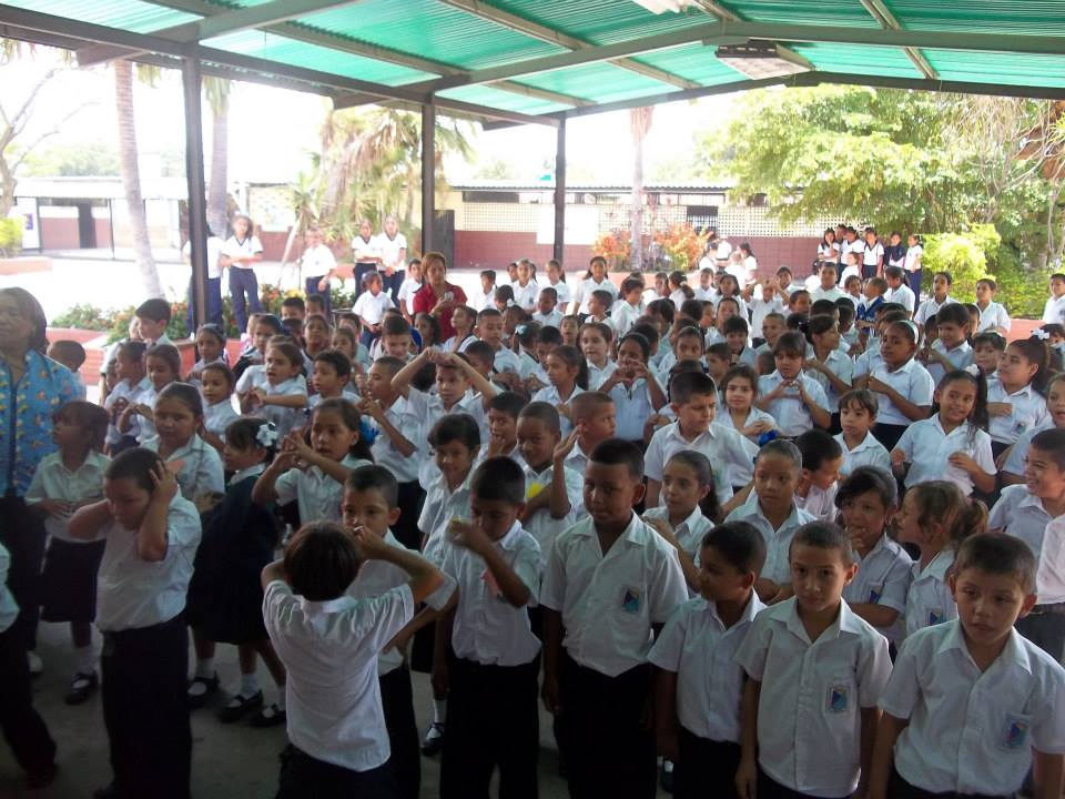
Mas fotos de la Escuela Basica Nacional Nueva Guacara, en Guacara, ciudad satelite que forma parte del area metropolitana de Valencia:
Spoiler!
My Updated 23andme Results (2021)
My Updated AncestryDNA Results (2022)
My Global25 Coordinates (2020)
An Epic Thread about me opened by Profield
| Thumbs Up |
| Received: 19,523 Given: 37,001 |
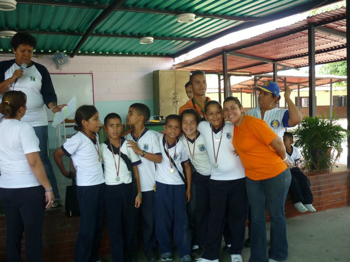
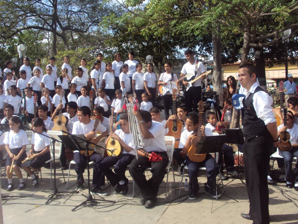
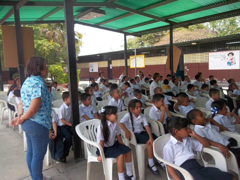
Mas fotos de la Escuela Basica Nacional Nueva Guacara, en Guacara, estado Carabobo:
Spoiler!
My Updated 23andme Results (2021)
My Updated AncestryDNA Results (2022)
My Global25 Coordinates (2020)
An Epic Thread about me opened by Profield
| Thumbs Up |
| Received: 19,523 Given: 37,001 |
More pics from the school Escuela Basica Nacional Nueva Guacara, in the city of Guacara, part of the metropolitan area of Valencia, in Carabobo state:
Spoiler!
My Updated 23andme Results (2021)
My Updated AncestryDNA Results (2022)
My Global25 Coordinates (2020)
An Epic Thread about me opened by Profield
| Thumbs Up |
| Received: 19,523 Given: 37,001 |
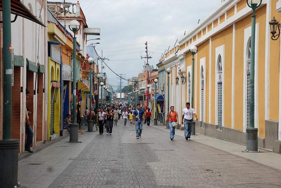
Video de Valencia (capital estatal) donde se ve bastante gente (por lo menos a partir del minuto 8:00 en adelante):
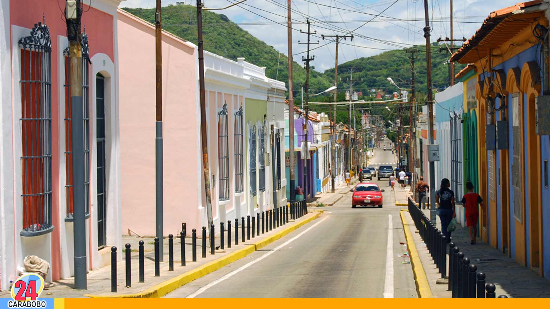
Boulevard de Valencia, en el populoso centro historico del sur de la ciudad. Muchisima gente:
My Updated 23andme Results (2021)
My Updated AncestryDNA Results (2022)
My Global25 Coordinates (2020)
An Epic Thread about me opened by Profield
There are currently 1 users browsing this thread. (0 members and 1 guests)
 Latin America
Latin America
Latin America
Latin America
Latin America
Latin America
Latin America
Latin America
Latin America
 Posting Permissions


 Reply With Quote


Bookmarks