


0


| Thumbs Up |
| Received: 19,527 Given: 37,005 |
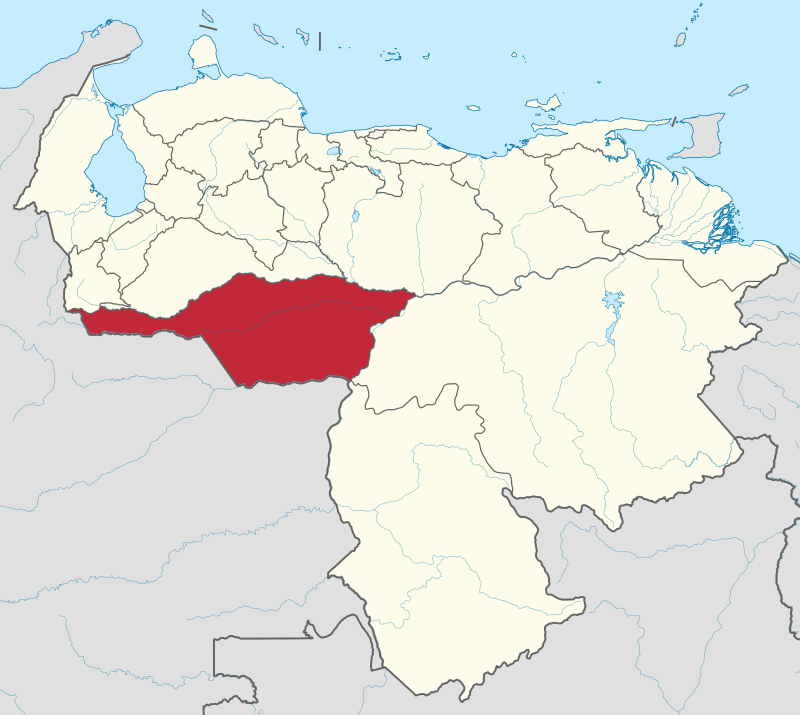
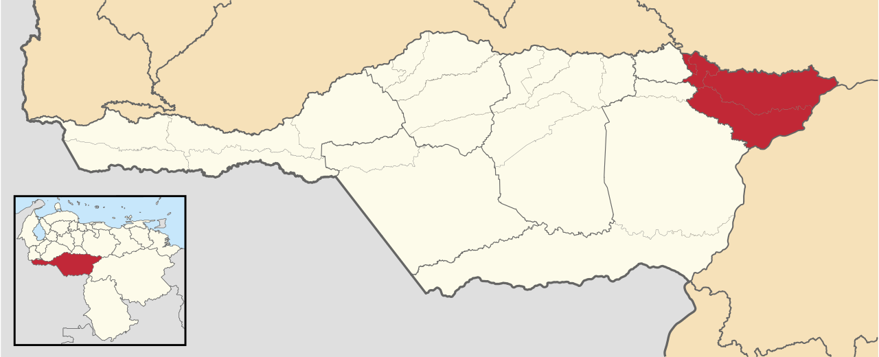
Location of Apure state in southwestern Venezuela:
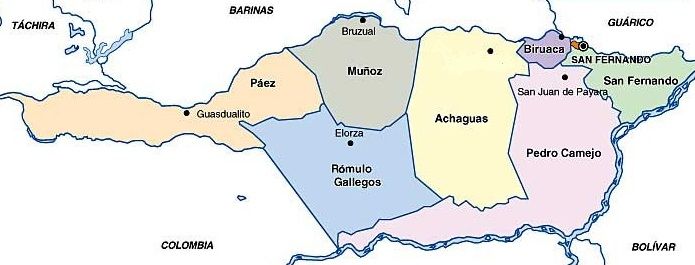
Political map showing the different municipalities of Apure state:
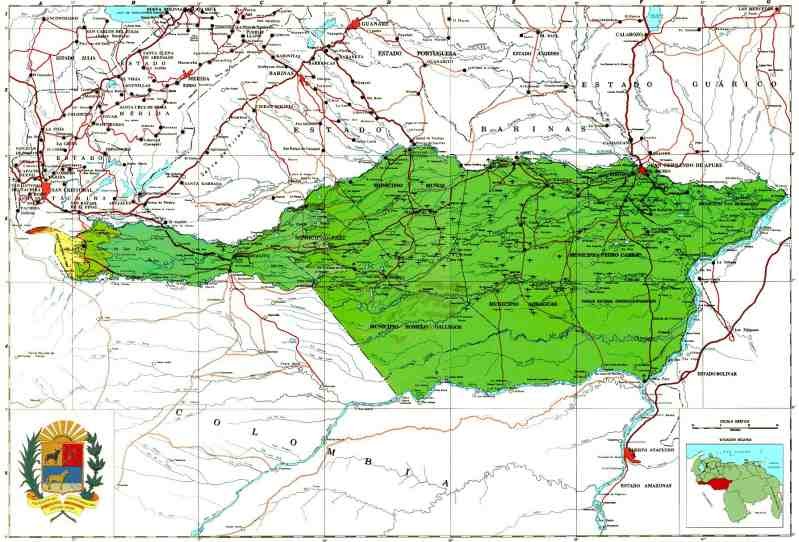
Relief map of Apure state (most of the state is very plain, excepting its very western tip, that is part of the Andean range, as it can be seen in the following map)
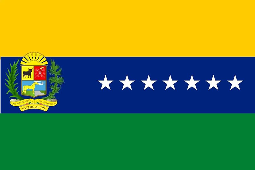
State Flag:
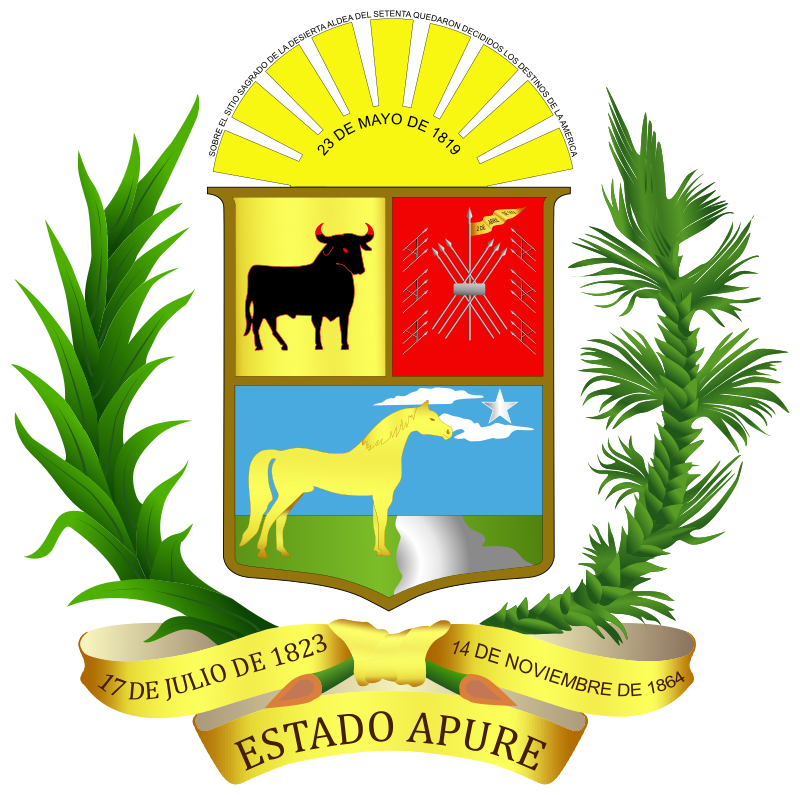
State Coat of Arms:
Surface: 76,500 square Kilometers
Population: 679,169 inhabitants
Average Altitude: 74 meters above sea level
Capital: San Fernando de Apure (190,429 inhabitants, average altitude: 47 meters) located in the southern (right) margin of Apure river.
Most of the state is part of the Venezuelan llanos (central plains of the country) and is very plain except its most western tip, that is part of the Andean range, with its highest altitude (3,200 meters) in El Tamá Paramo (in that is shared between Apure and Tachira state). Most of the state has a tropical savanna climate, with the exception of its westernmost tip, that has a tropical mountain temperate climate.
The state is crossed by several great mighty rivers coming from the Andes like the Apure river (in its northern border, separating it from the states of Barinas and Guarico), the Arauca river (separating its westernmost part from Colombia, and then going through the middle of the state up to its mouth in the Orinoco, the Meta river, that comes from Colombia and then separates Apure from Colombia on its south, etc.
It is bordered on the north by the states of Táchira, Barinas, and Guárico, on the east and southeast by the states of Bolívar and Amazonas and on the south and west by Colombia (from east to west, the Colombian departments of Vichada, Arauca, Boyaca and Norte de Santander).
The state economy is mostly based on agriculture and livestock.
Racial breakdown of Apure state (based on self perception):
Racial composition Population %
Mestizo — 63.5
White 157,193 30.2
Black 28,628 5.5
Other race — 0.8
The "mestizo" category must include a mix of triracials (many of them mestizo leaning triracials) and actual mestizos, and the "white" category must be a mix of castizos, light skinned mestizos and actual whites.
Pics with landscapes from this state on next post...
Last edited by alnortedelsur; 04-27-2024 at 03:19 PM.
My Updated 23andme Results (2021)
My Updated AncestryDNA Results (2022)
My Global25 Coordinates (2020)
An Epic Thread about me opened by Profield
Originally Posted by Profileid

| Thumbs Up |
| Received: 19,527 Given: 37,005 |
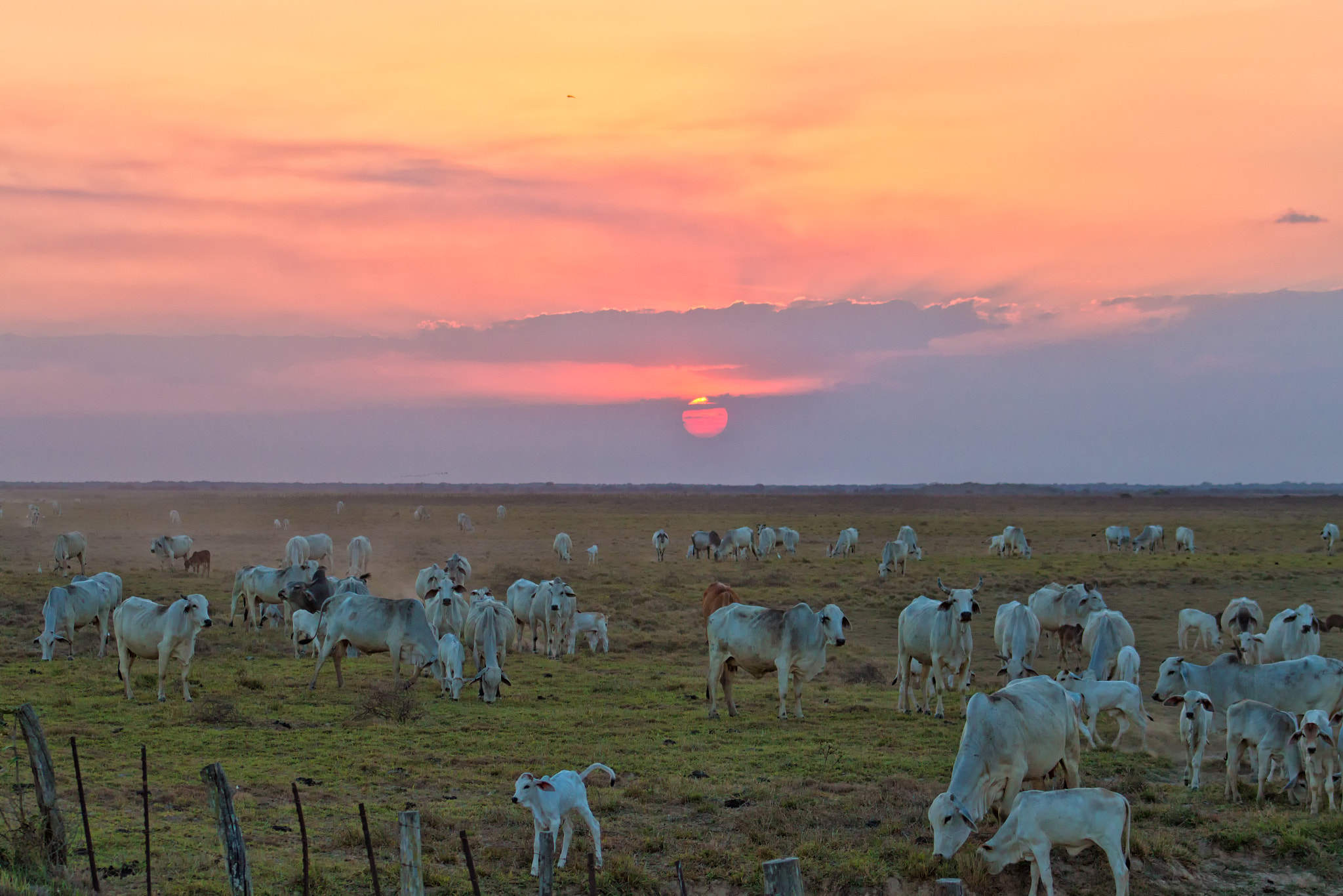
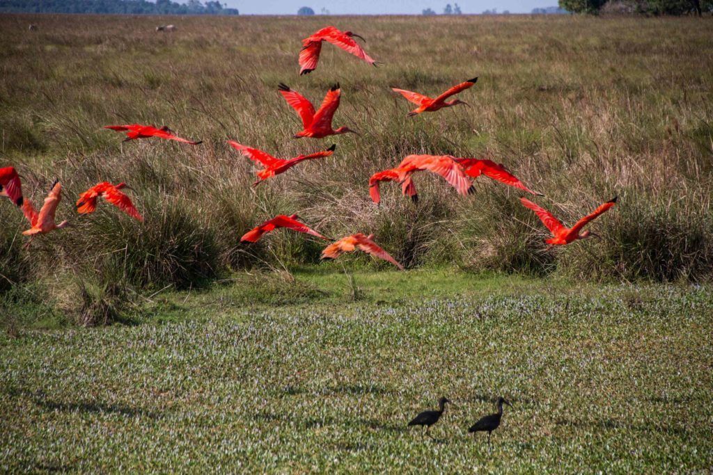
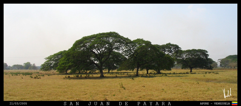
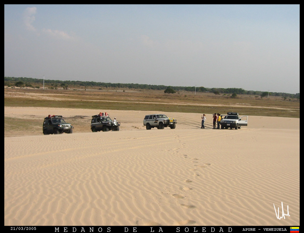
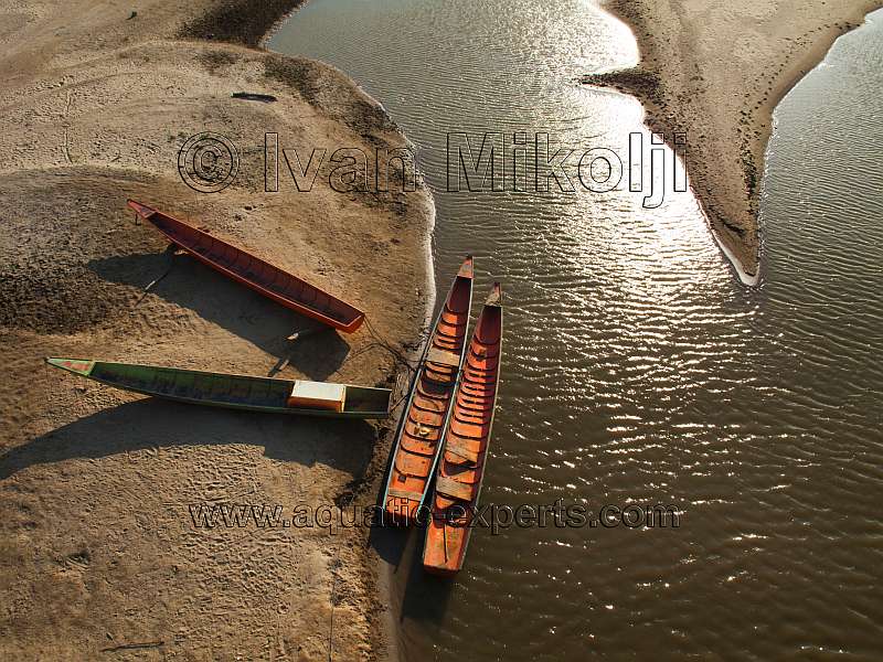
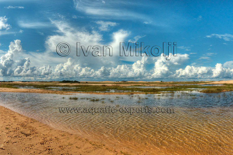
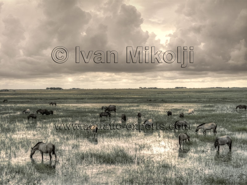
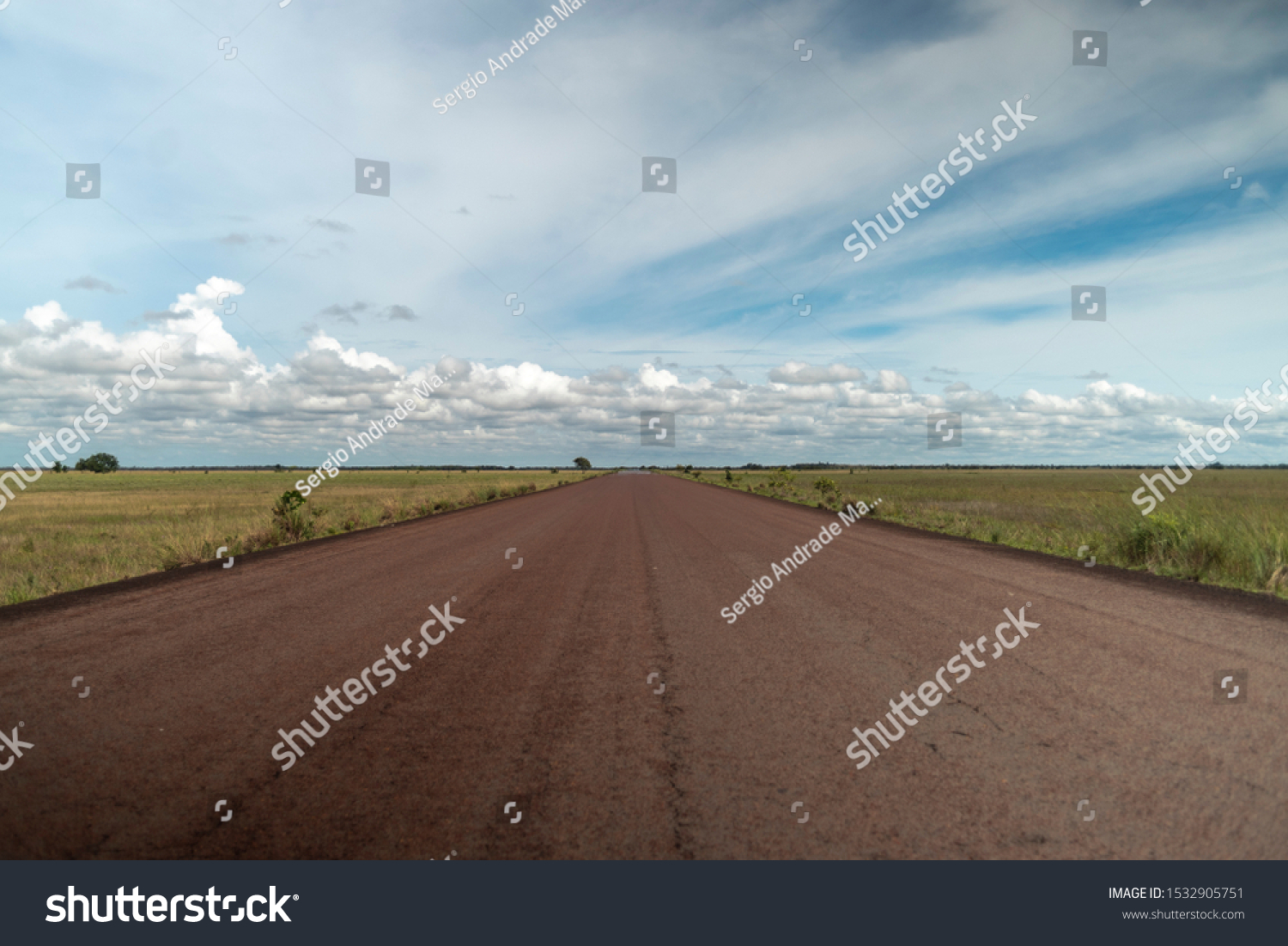
Typical landscapes from Apure state, dominated by extensive savannas:
Lonely roads in Apure:
Pi
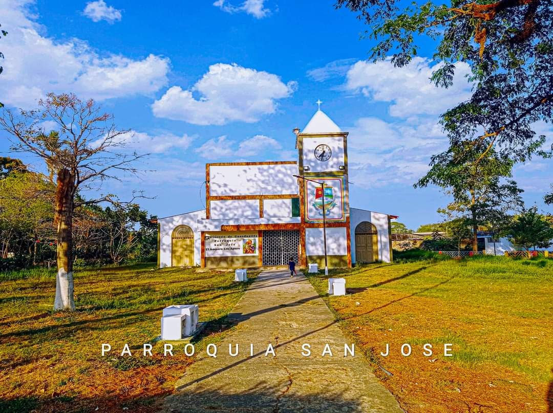
El Amparo, Apure (18,285 inhabitants in 2023, altitude: 125 msnm), is a small city in the municipality of Paez, in the very west of the state, and located in the northern (left) shore of Arauca river, and in the very border with Colombia, with the Colombian city of Arauca, capital of the Colombian department of Arauca, being located in the other side (southern shore) of Arauca river. El Amparo, Apure:
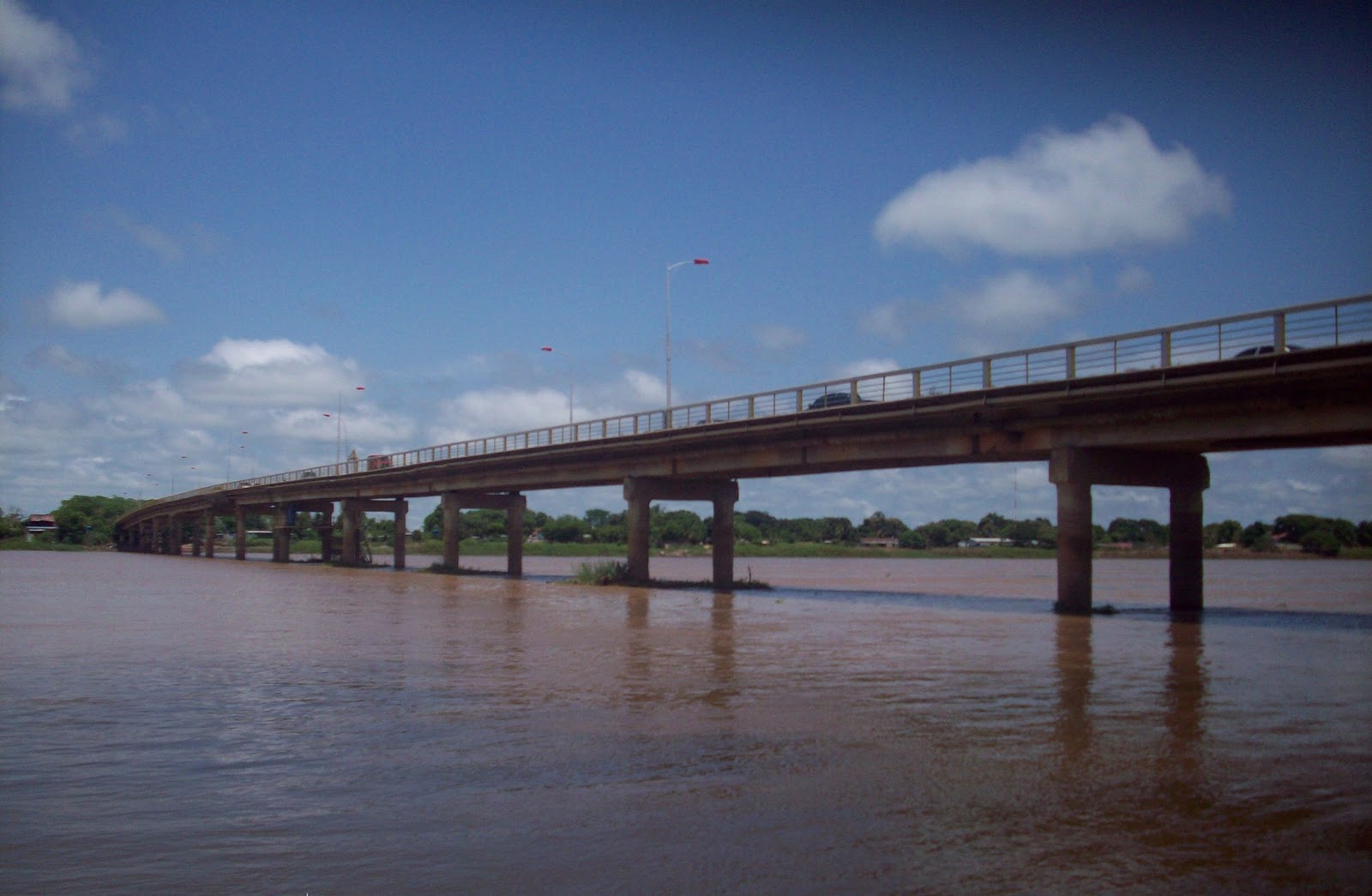
Bruzual bridge, which crosses the Apure river, communicating San Fernando (the state capital) with Guarico state in the northern shore of Apure river. In the picture, on that side of the river is Guarico, and on this side of the river is San Fernando de Apure:
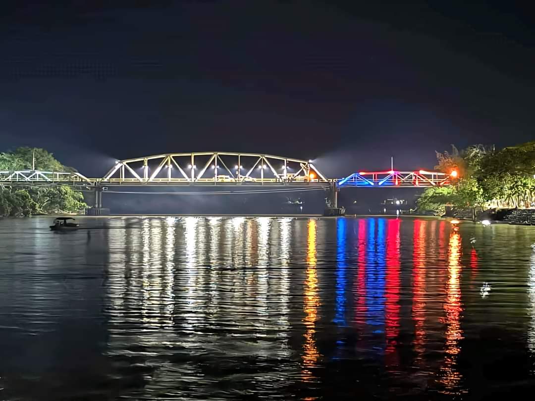
Paez International Bridge, which cross the Arauca river between the Venezuelan city of El Amparo (municipality of Paez in western Apure) and the Colombian city of Arauca (in the Colombian department of Arauca):
Pics of San Fernando, the state capital, on next post...
Last edited by alnortedelsur; 04-28-2024 at 05:11 AM.
My Updated 23andme Results (2021)
My Updated AncestryDNA Results (2022)
My Global25 Coordinates (2020)
An Epic Thread about me opened by Profield
| Thumbs Up |
| Received: 19,527 Given: 37,005 |
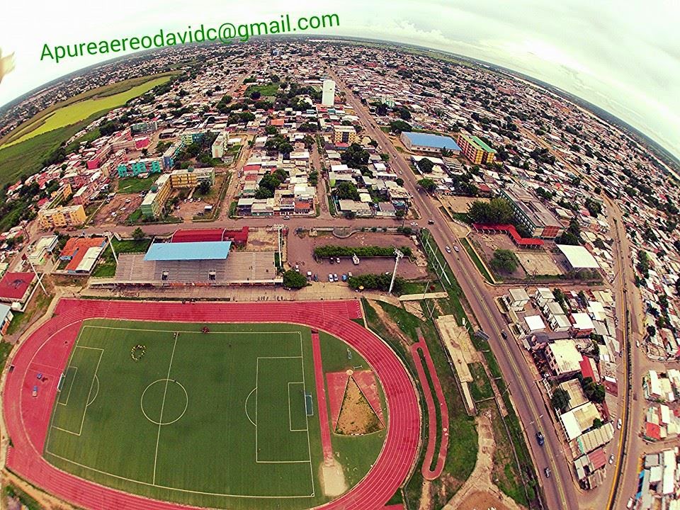
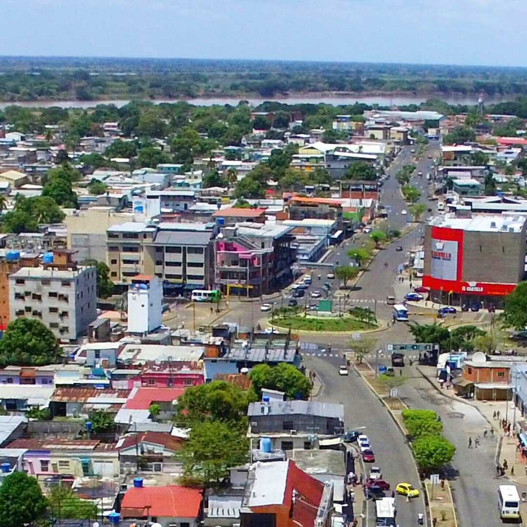
Some views of San Fernando de Apure, the state capital:
Bride above Apure river, communicating San Fernando with Guarico state in the other shore:
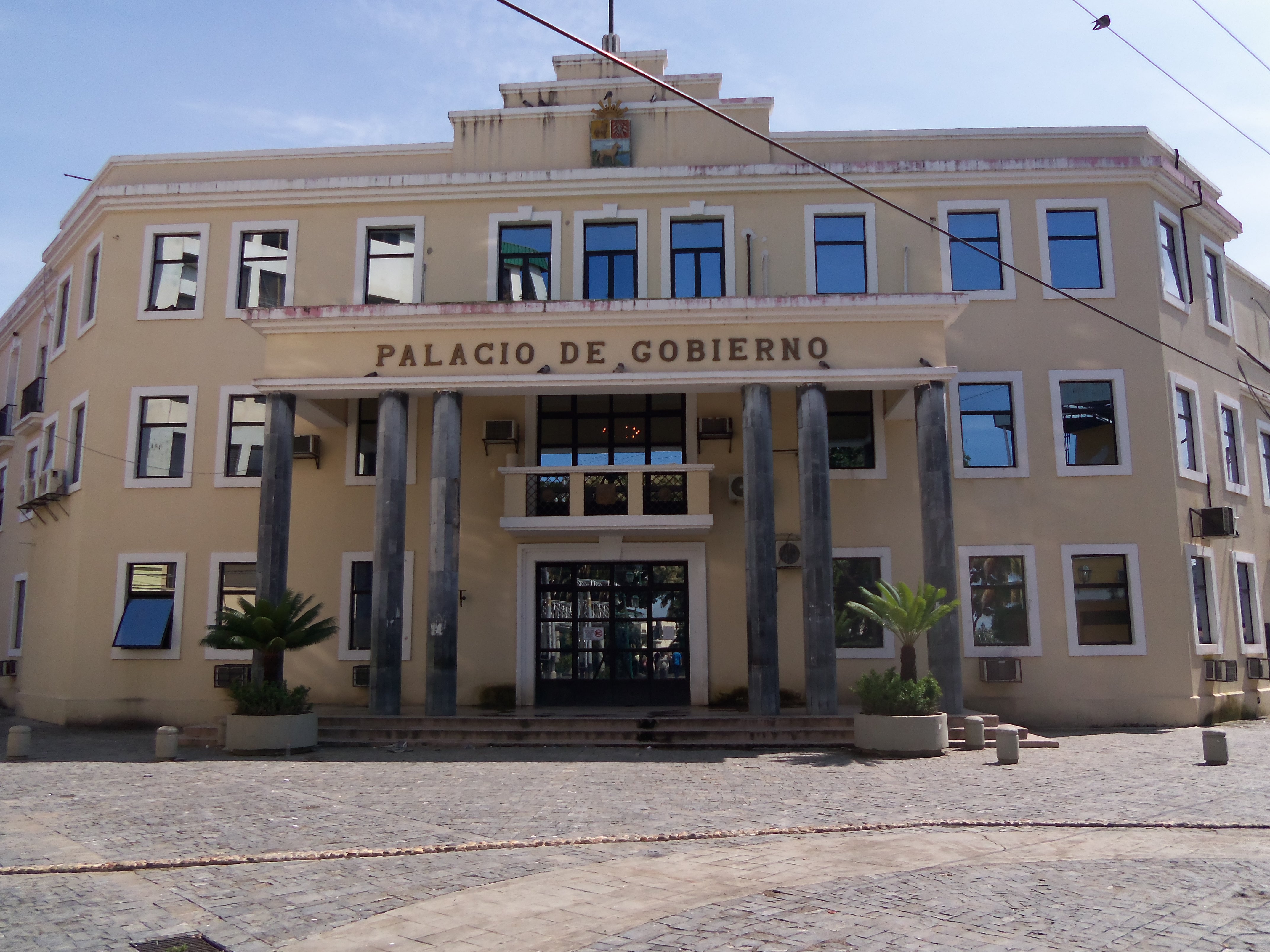
Government palace of Apure state in San Fernando:
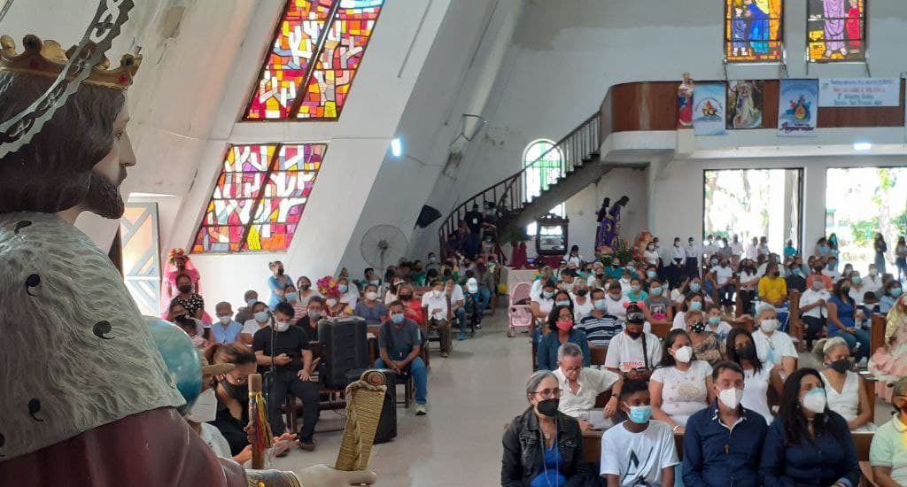
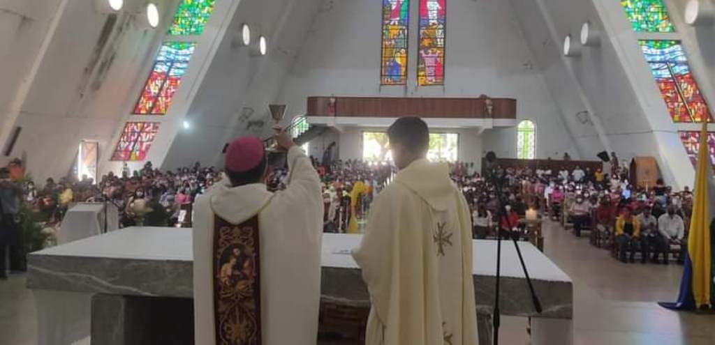
Interior of the cathedral of San Fernando de Apure:
Square in San Fernando de Apure:
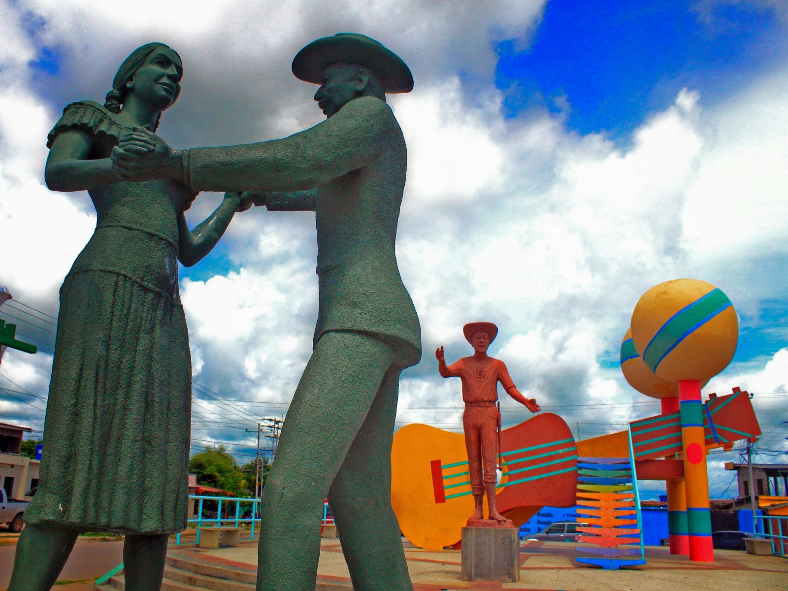
Big statue of San Fernando holding a sword on his right hand, and an earth globe on his left hand. Is one of the emblems of the city:
School and high school pics in the following posts...
Last edited by alnortedelsur; 04-28-2024 at 04:08 PM.
My Updated 23andme Results (2021)
My Updated AncestryDNA Results (2022)
My Global25 Coordinates (2020)
An Epic Thread about me opened by Profield


| Thumbs Up |
| Received: 167 Given: 154 |
¿Acá es donde transcurre el libro "Doña Bárbara"?
| Thumbs Up |
| Received: 19,527 Given: 37,005 |
Yeap! Asi es.
My Updated 23andme Results (2021)
My Updated AncestryDNA Results (2022)
My Global25 Coordinates (2020)
An Epic Thread about me opened by Profield
| Thumbs Up |
| Received: 19,527 Given: 37,005 |
Ubicacion del municipio San Fernando en la esquina nororiental del estado Apure:
Superficie: 5.982 km²
Población (2024): 249,642 habitantes
Capital: San Fernando de Apure (190,429 habitantantes, altitud: 47 msnm)
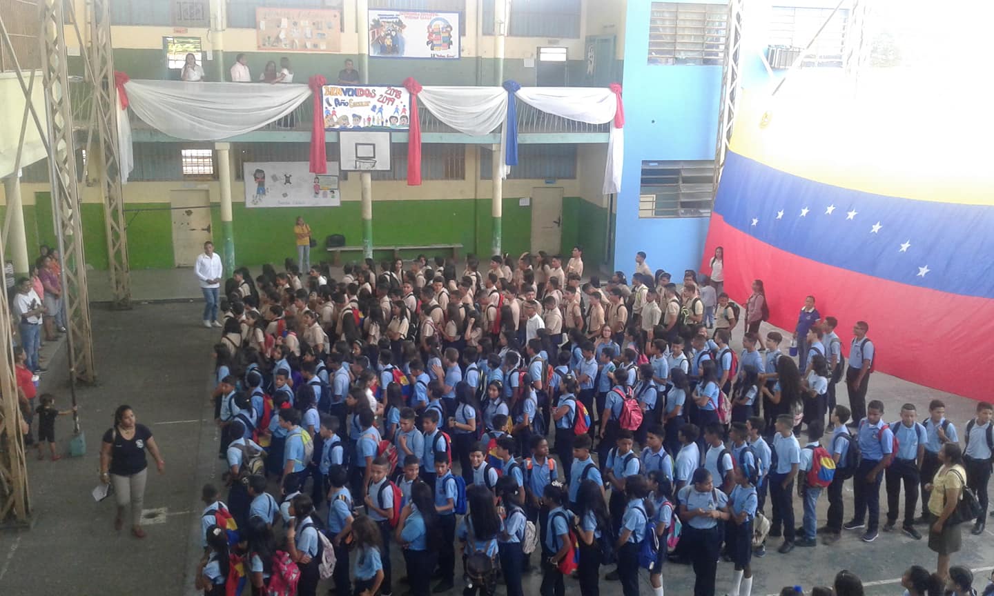
A continuacion, algunas tandas de fotos del Liceo Bolivariano (y por lo tanto publico) Vuelvan Caras, ubicado en San Fernando de Apure, estado Apure:
Spoiler!
My Updated 23andme Results (2021)
My Updated AncestryDNA Results (2022)
My Global25 Coordinates (2020)
An Epic Thread about me opened by Profield
| Thumbs Up |
| Received: 19,527 Given: 37,005 |
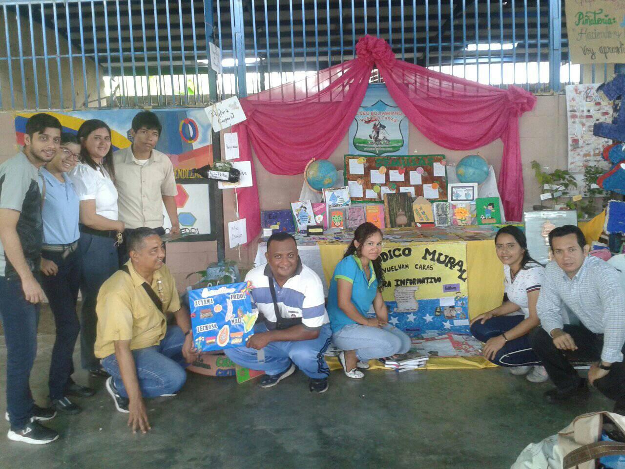
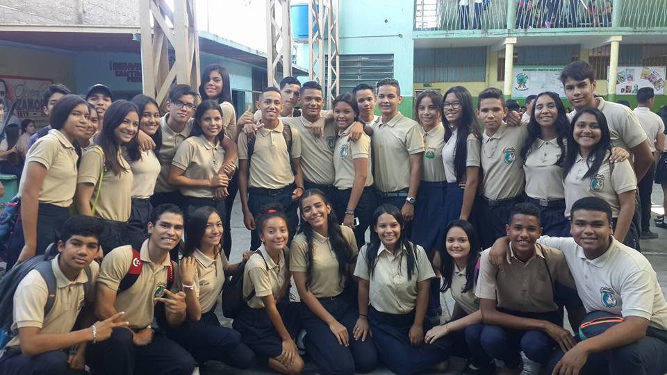
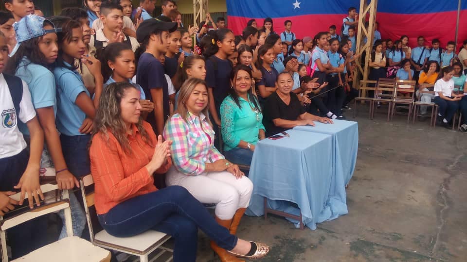
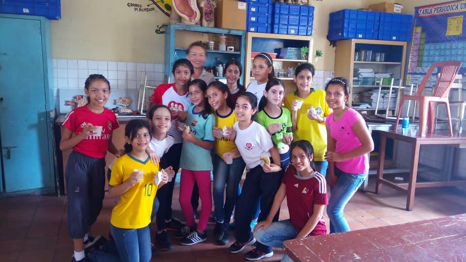
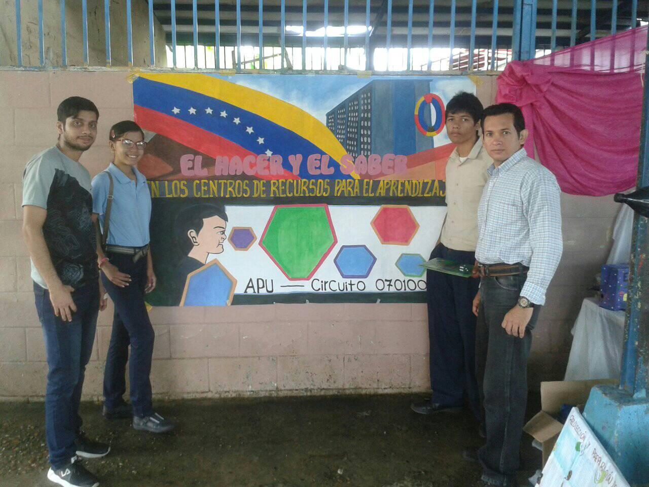
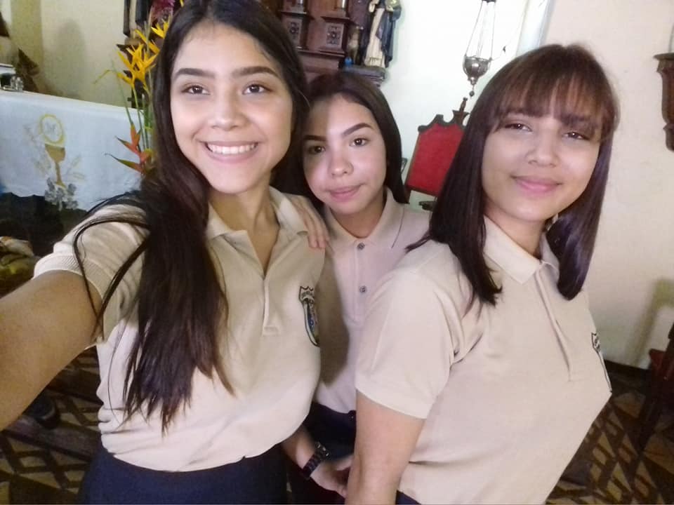
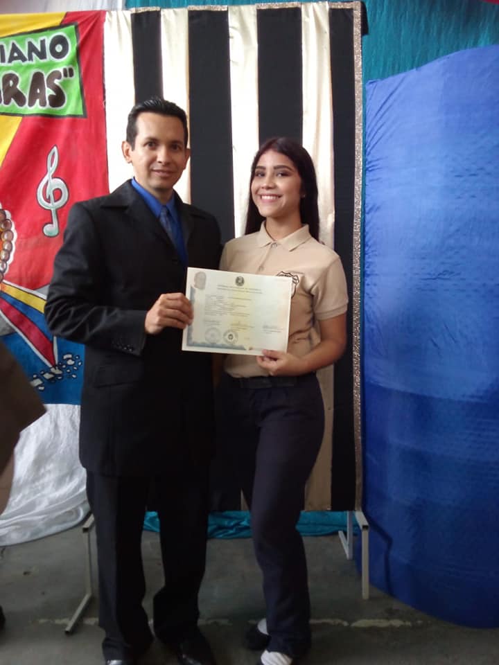
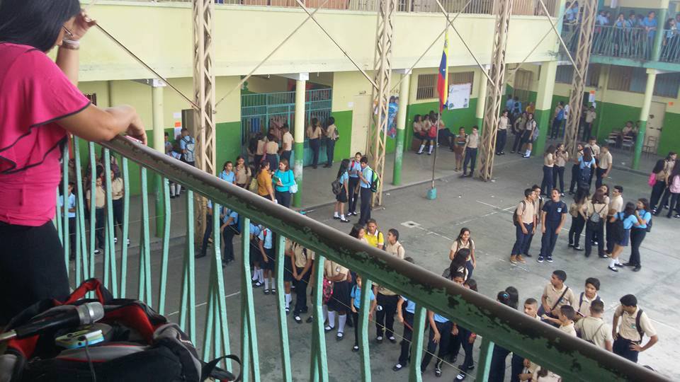
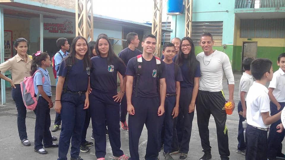
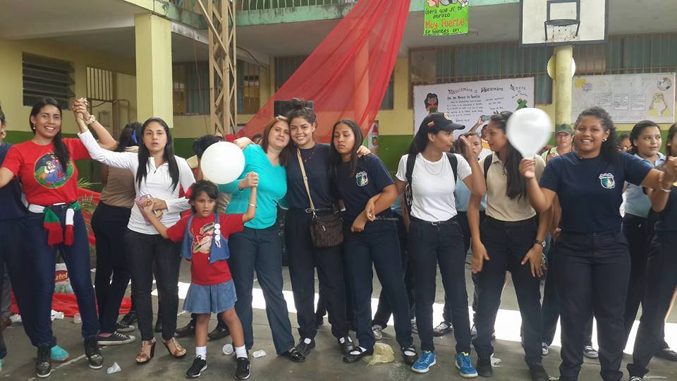
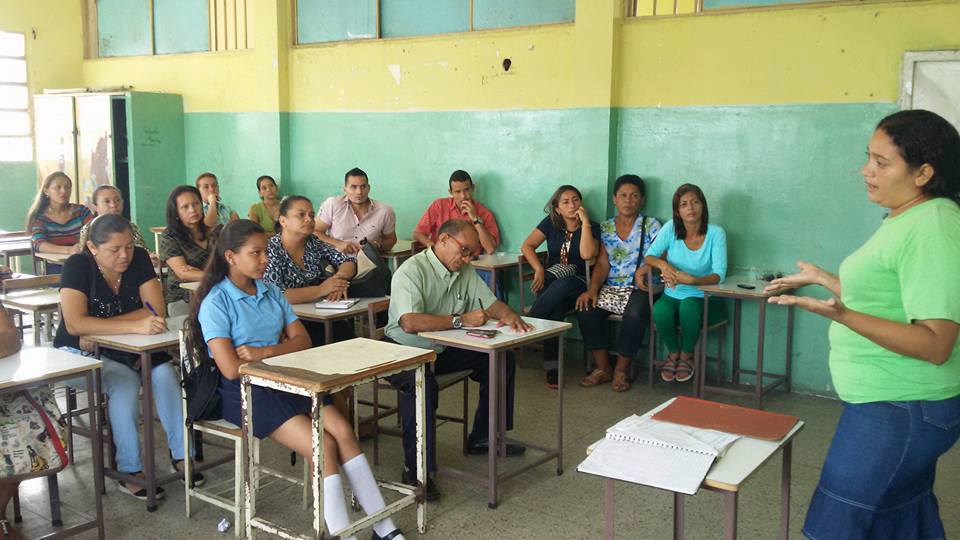
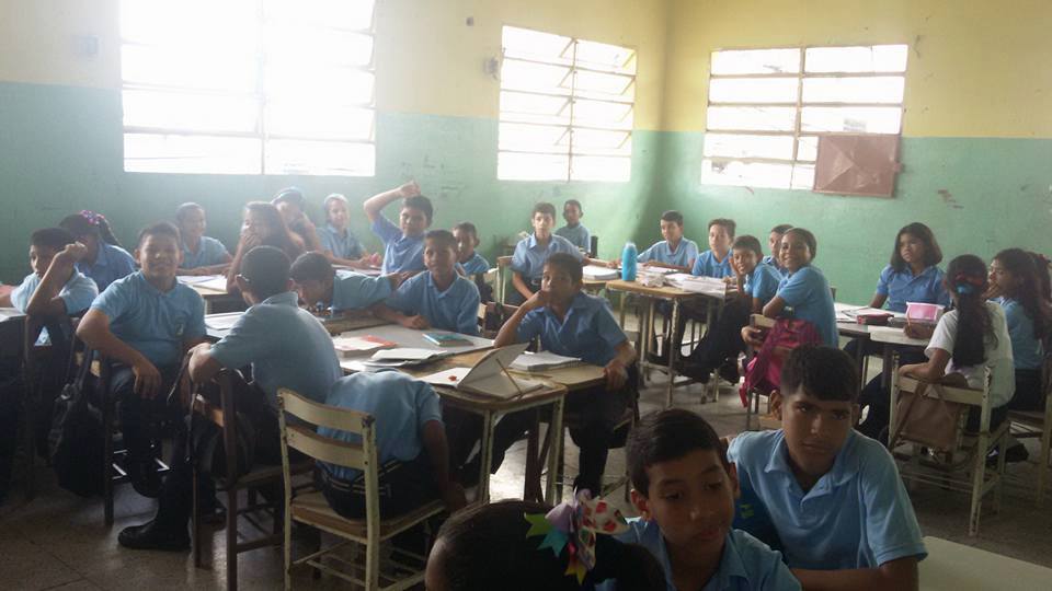
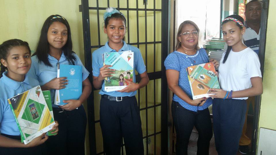
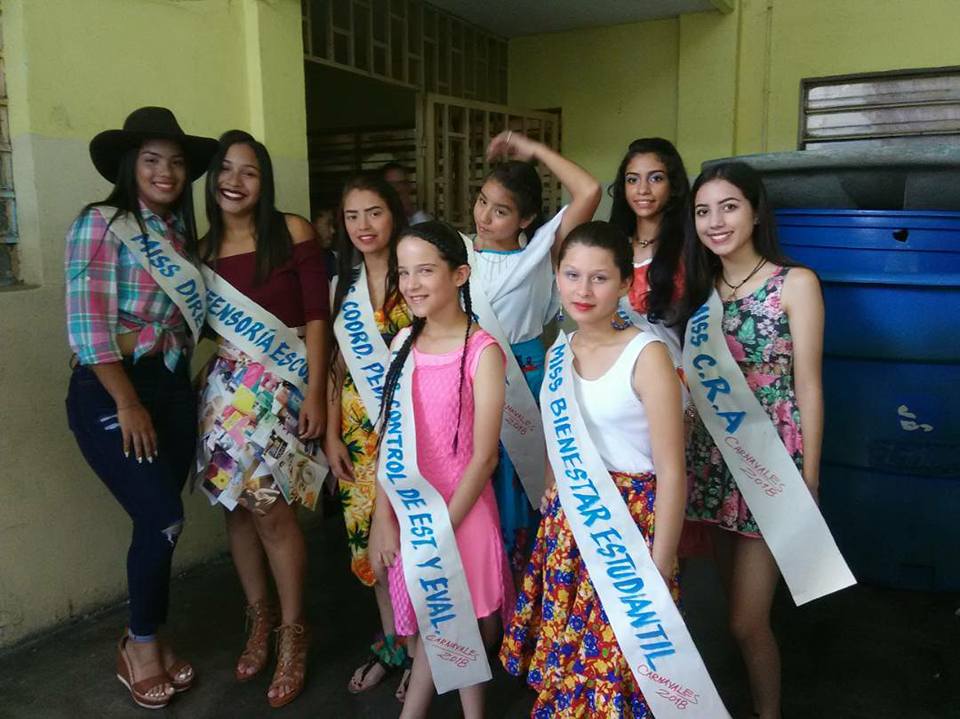
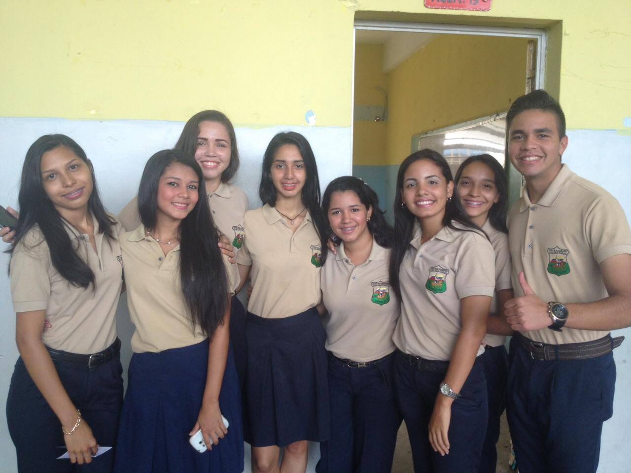
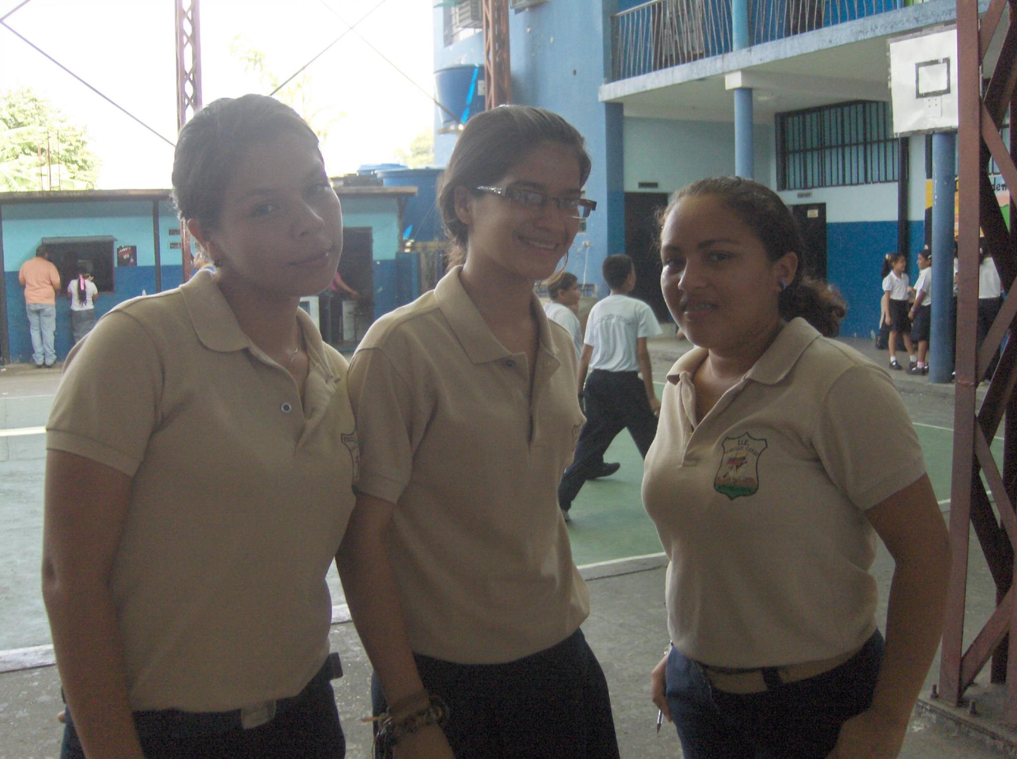
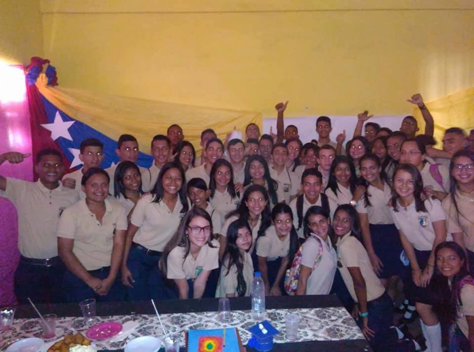
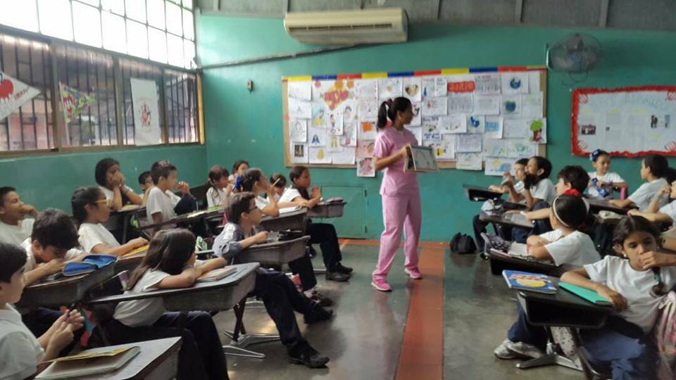
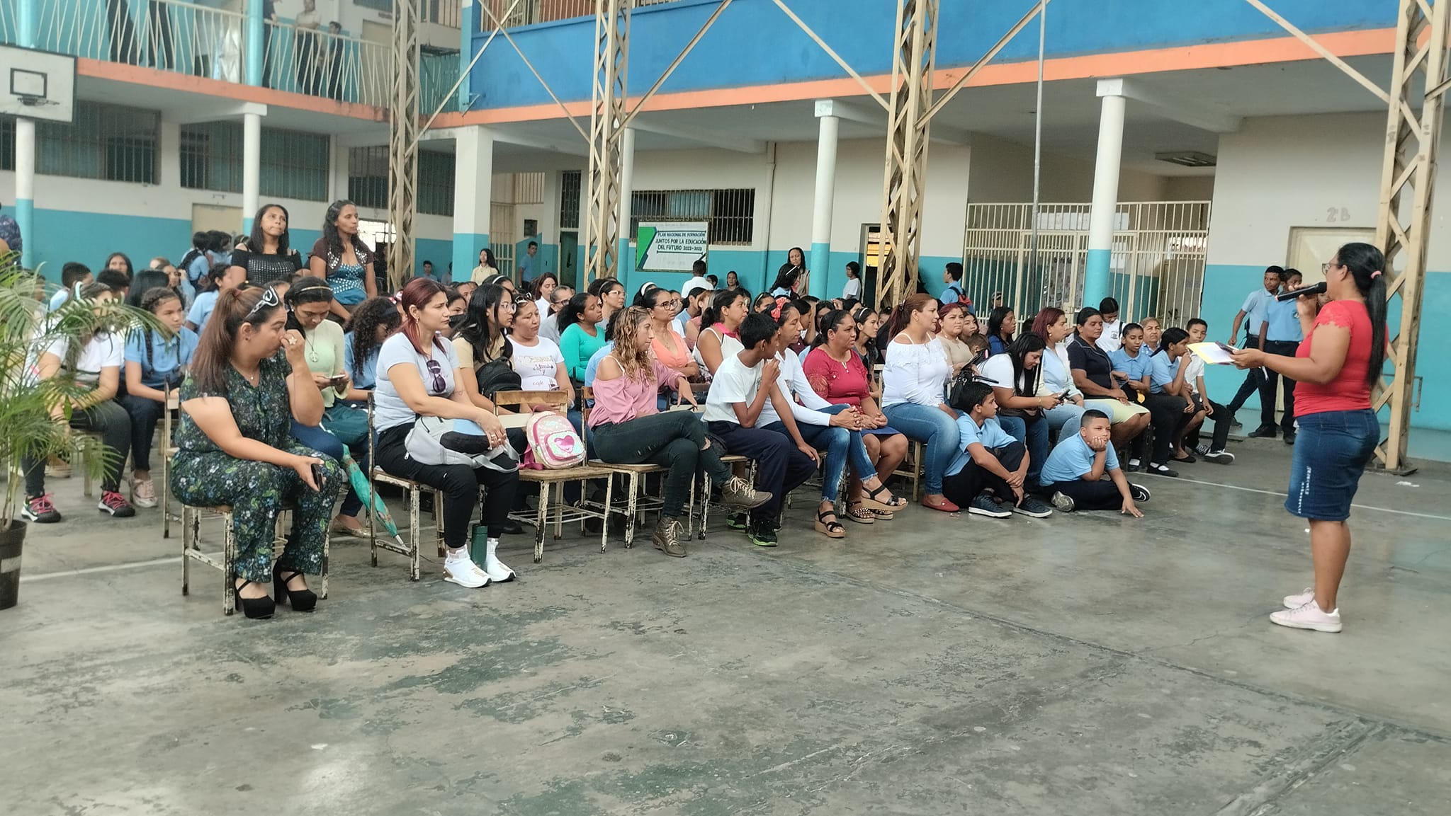
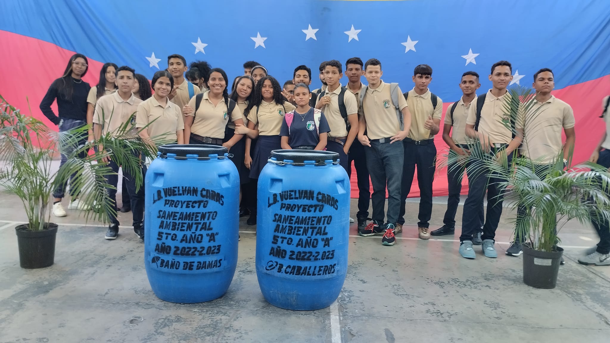
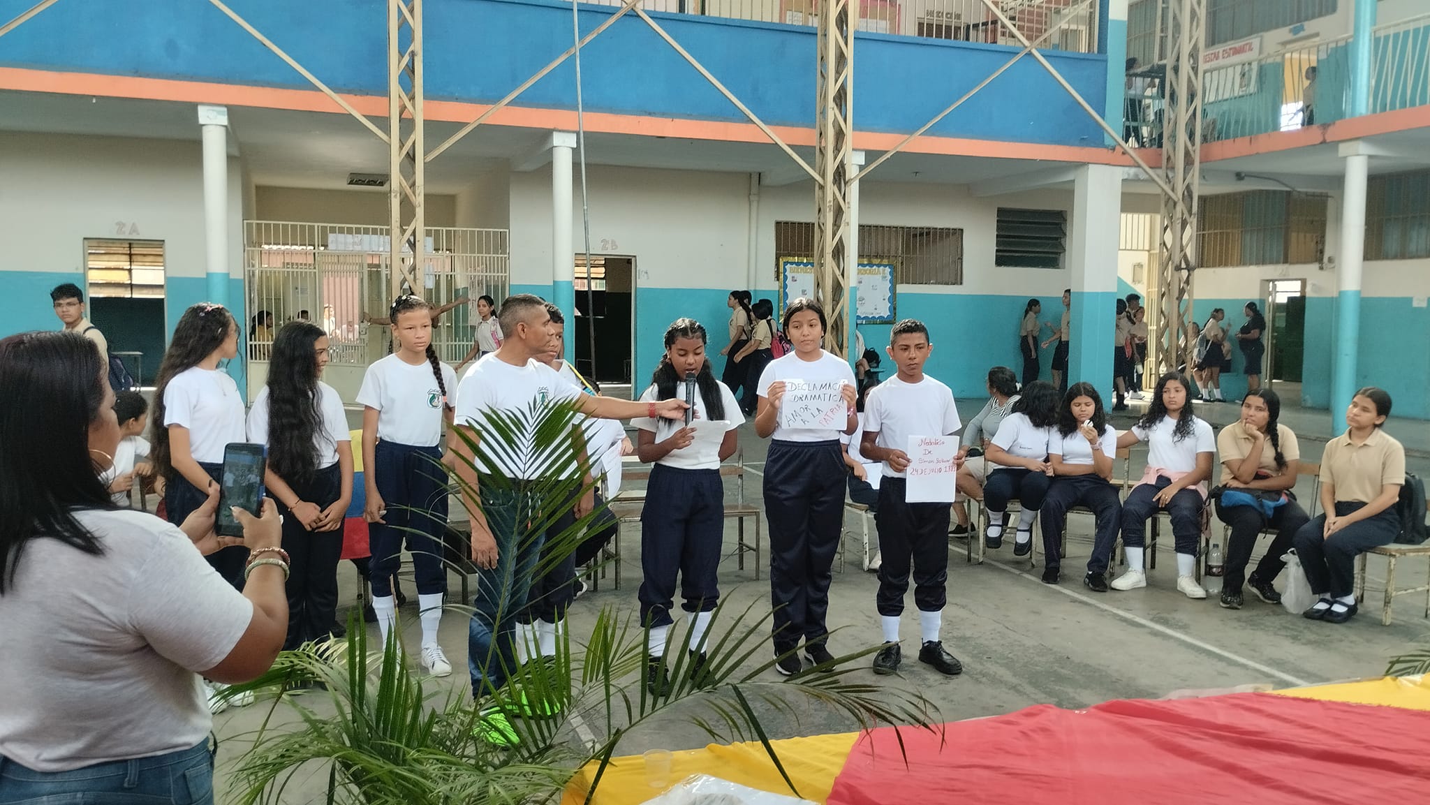
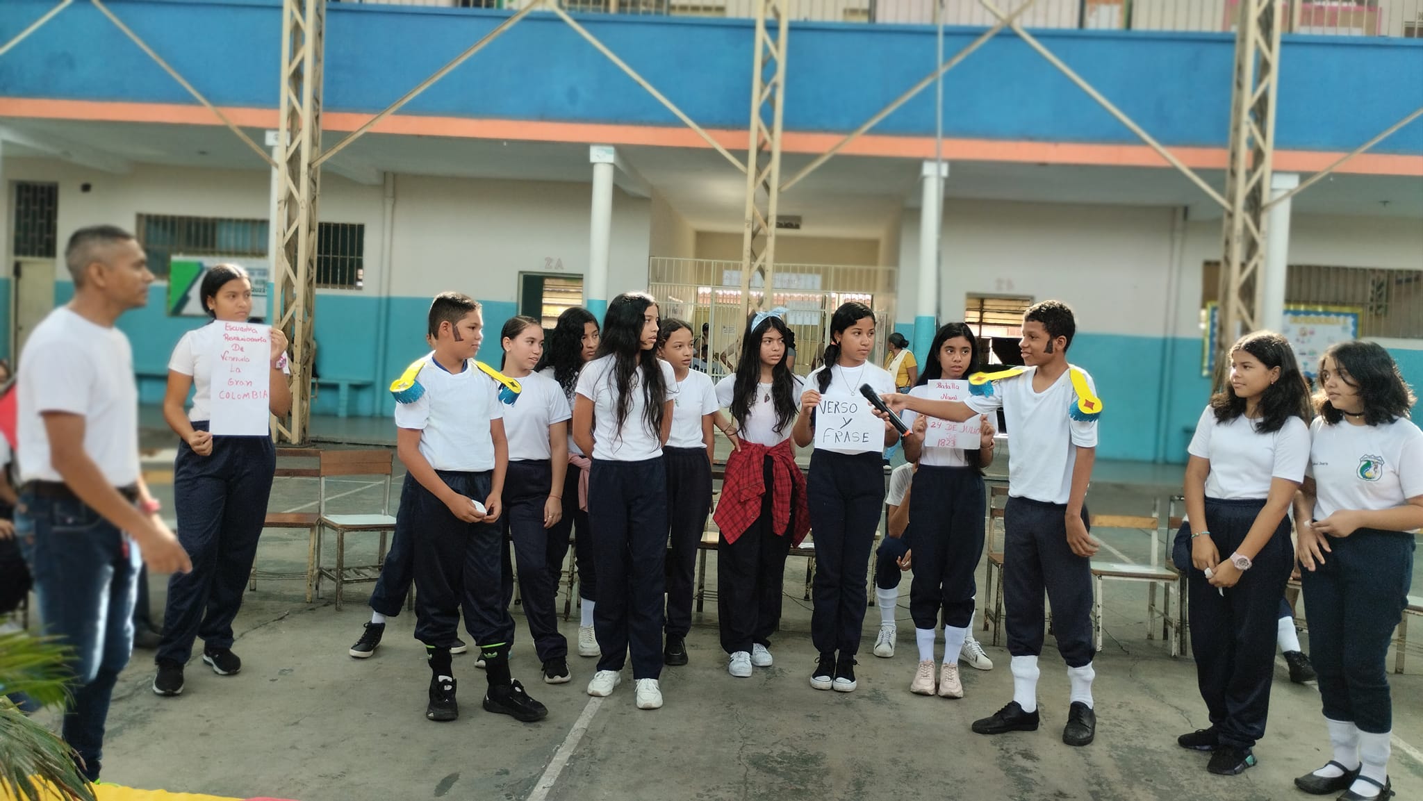
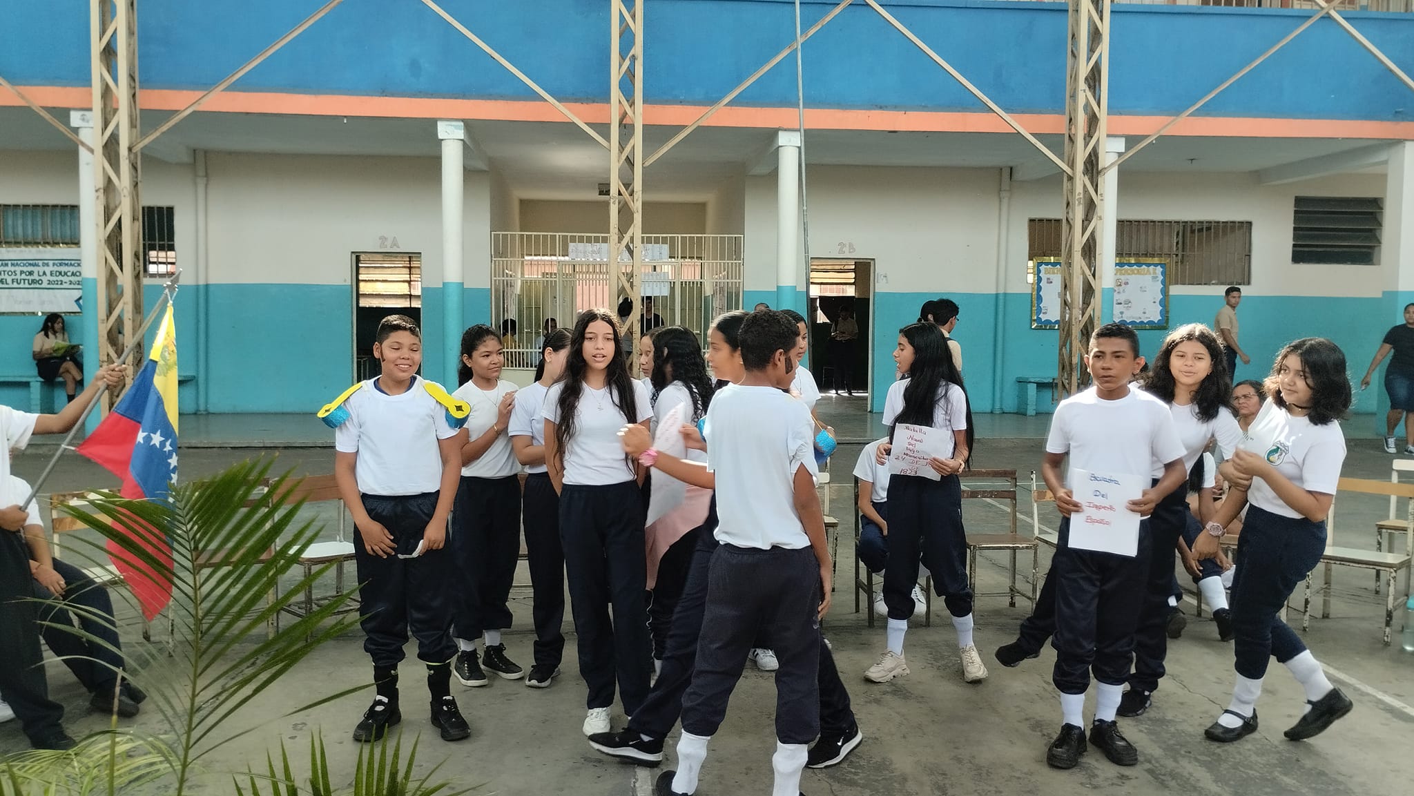
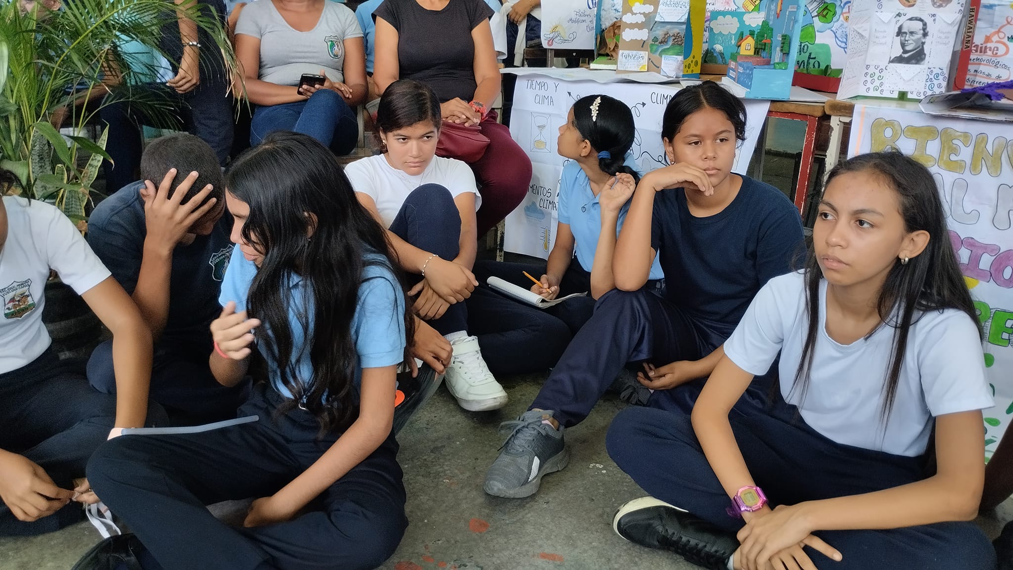
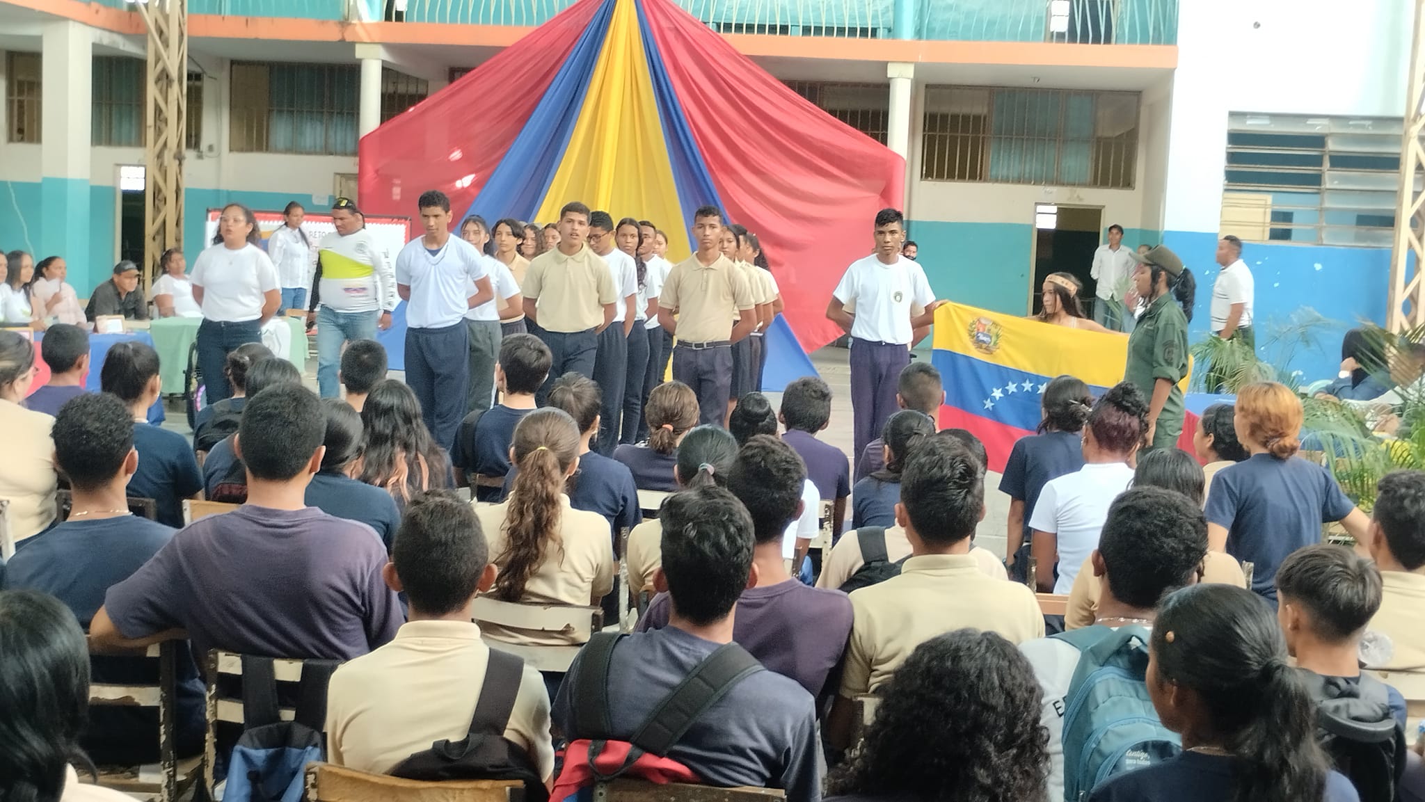
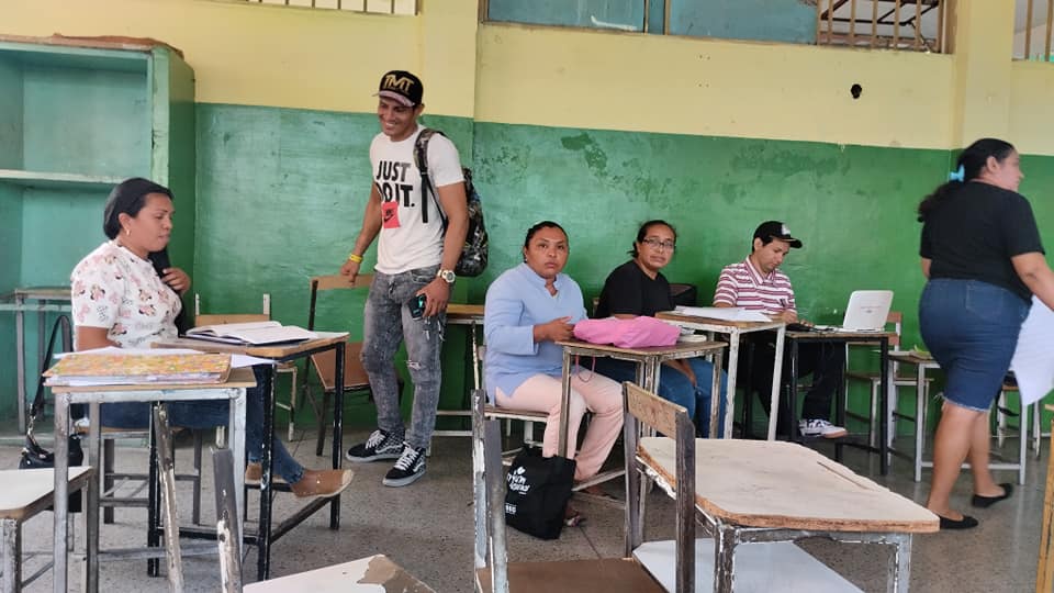
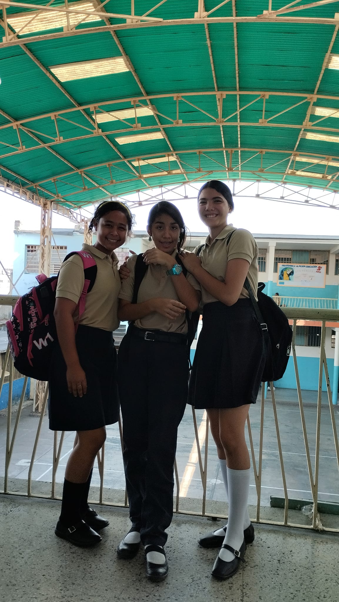
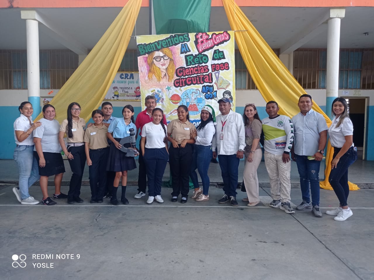
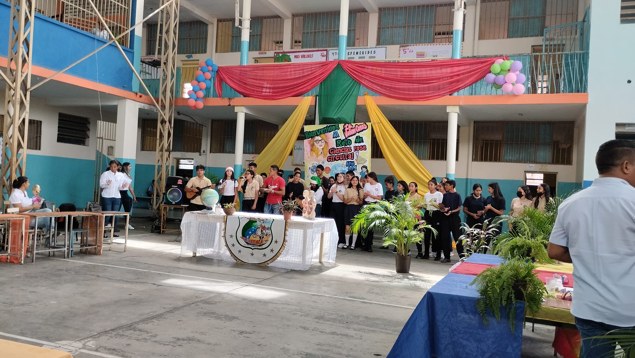
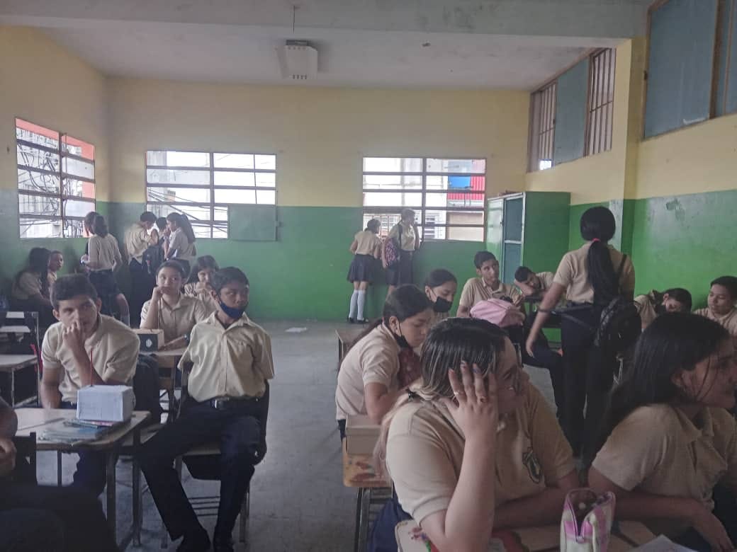
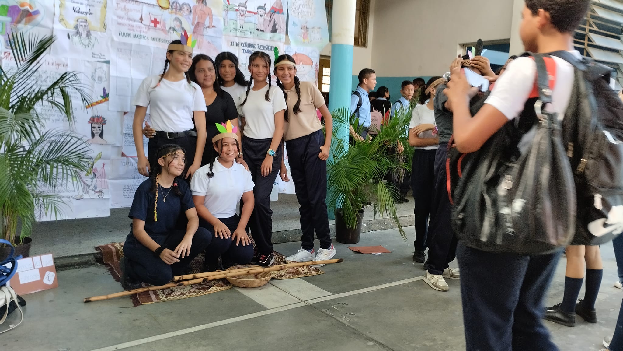
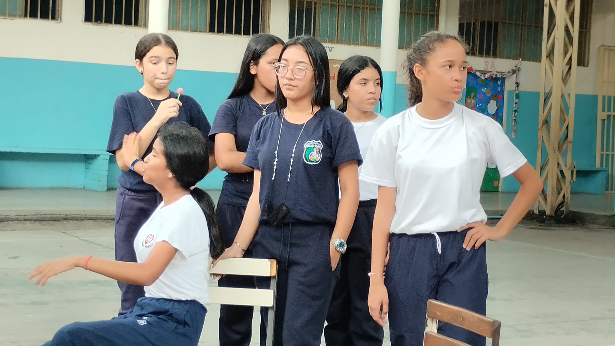
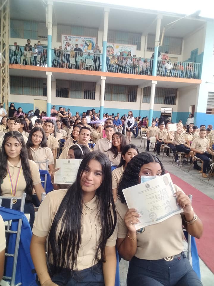
Liceo Bolivariano Vuelvan Caras, en San Fernando de Apure, estado Apure:
Spoiler!
My Updated 23andme Results (2021)
My Updated AncestryDNA Results (2022)
My Global25 Coordinates (2020)
An Epic Thread about me opened by Profield
| Thumbs Up |
| Received: 19,527 Given: 37,005 |
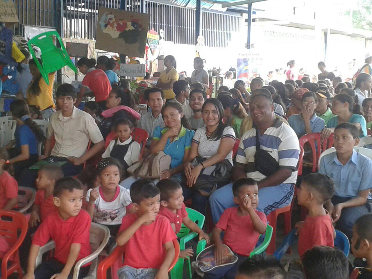
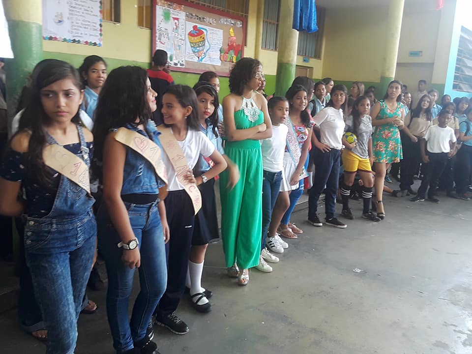
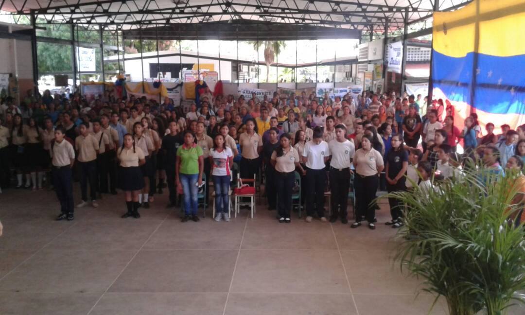
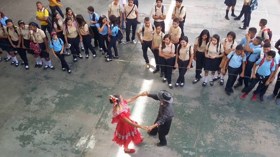
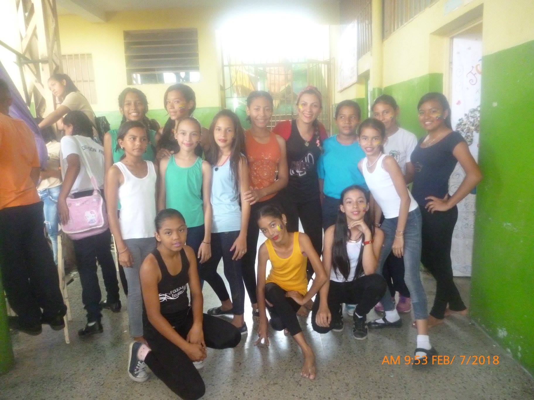
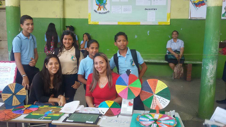
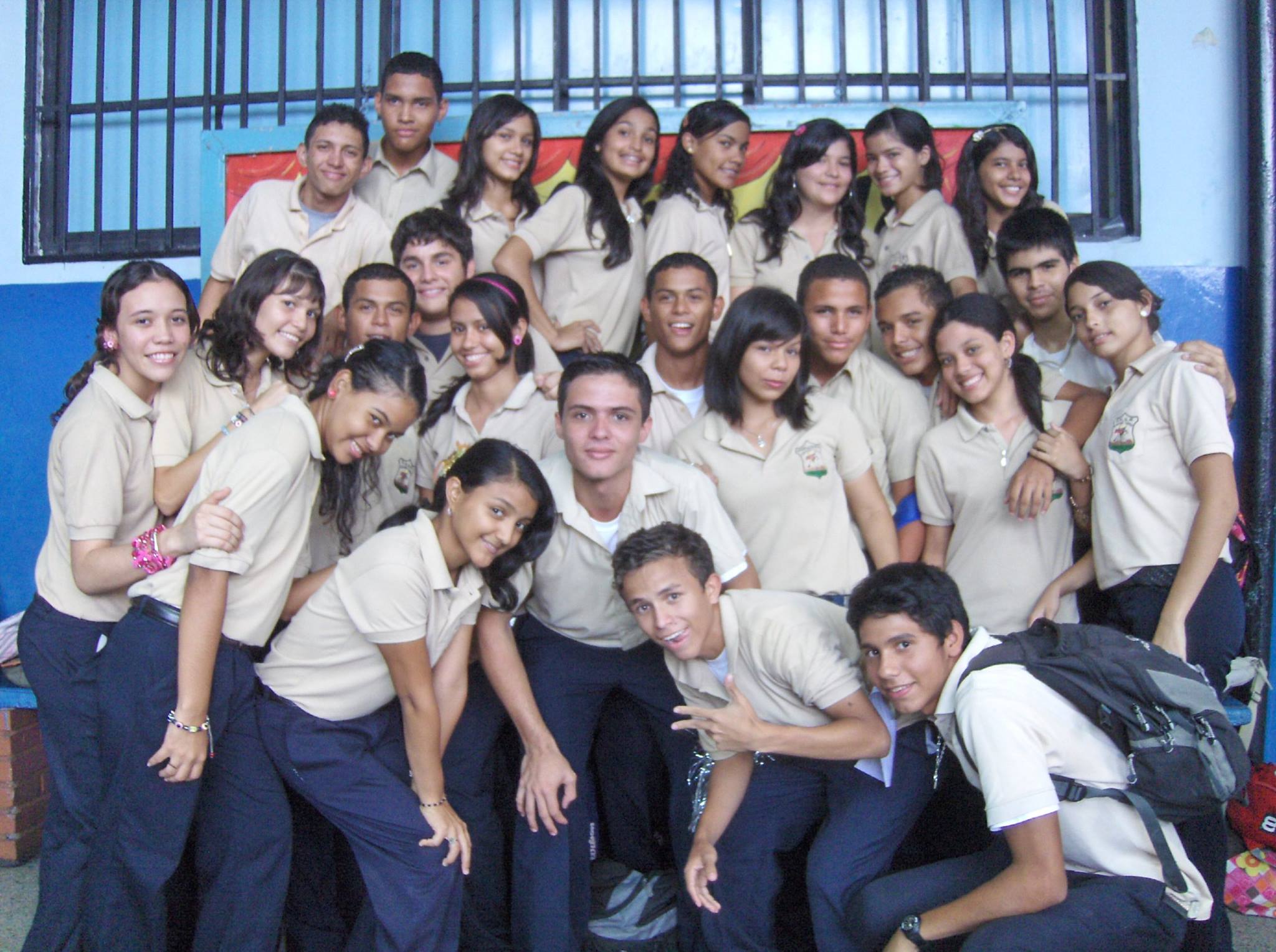
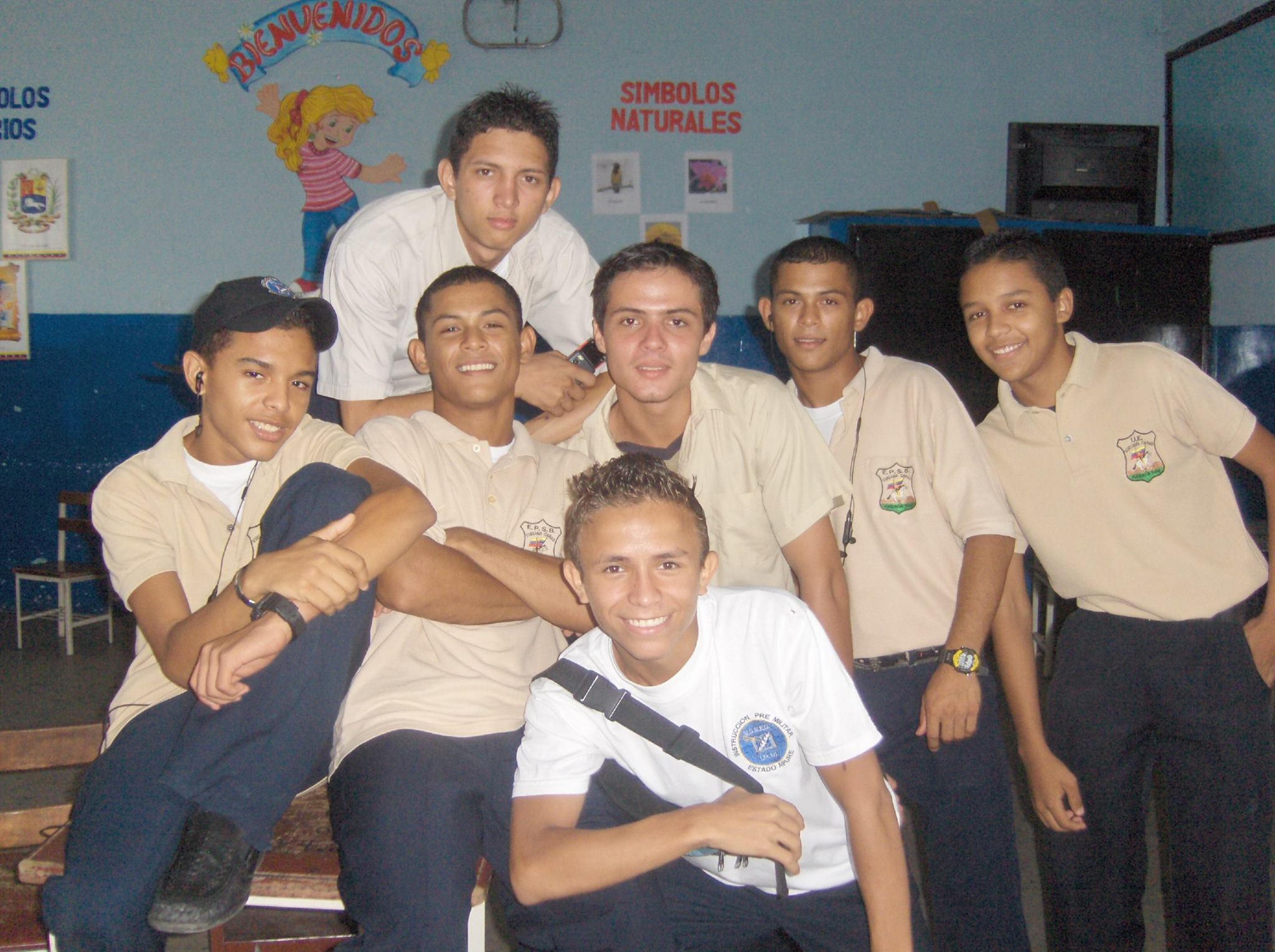
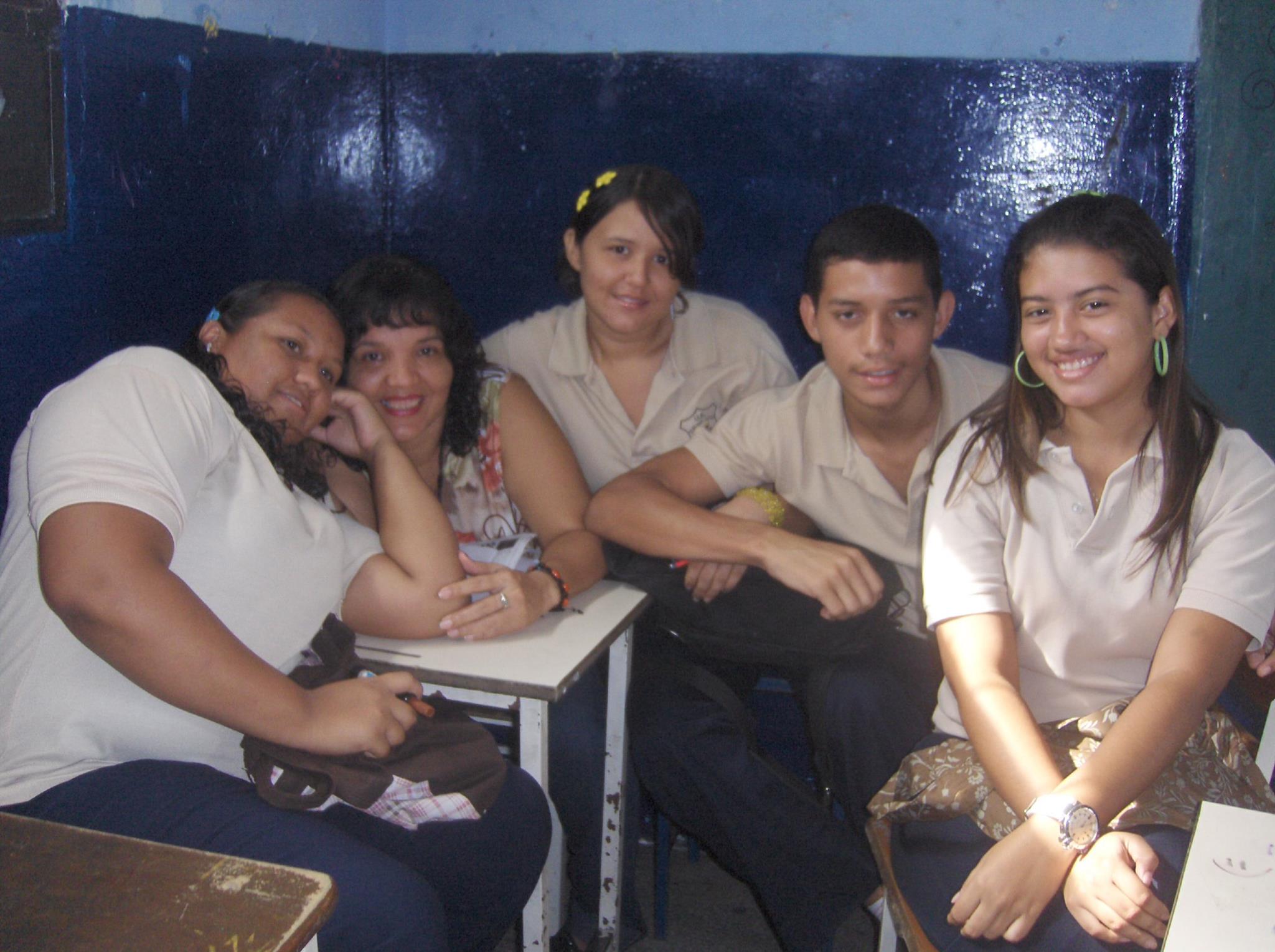
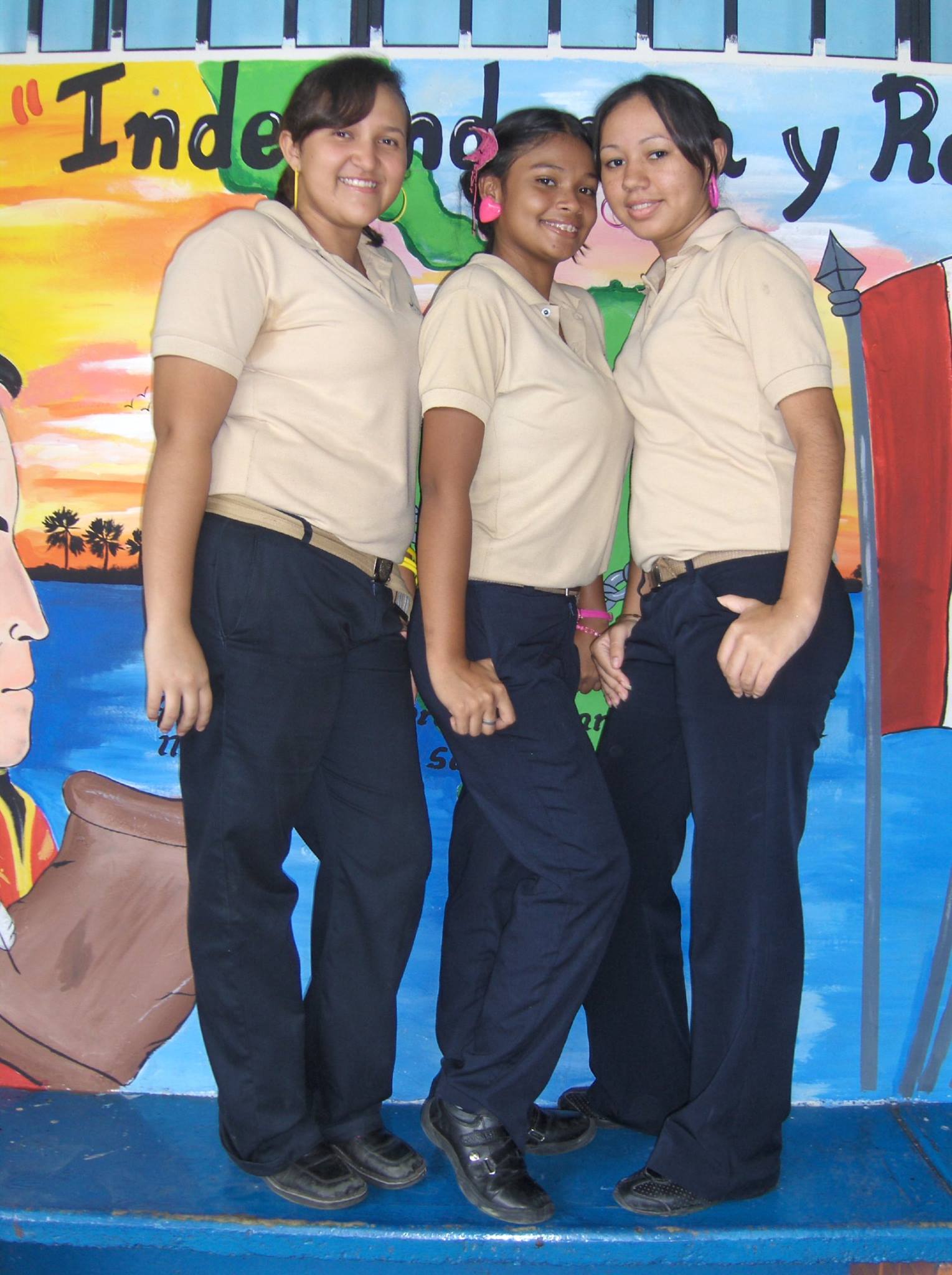
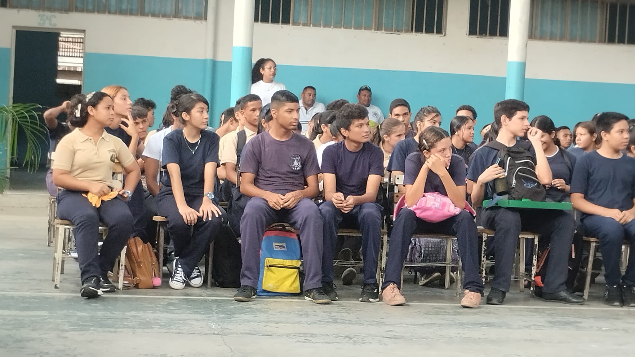
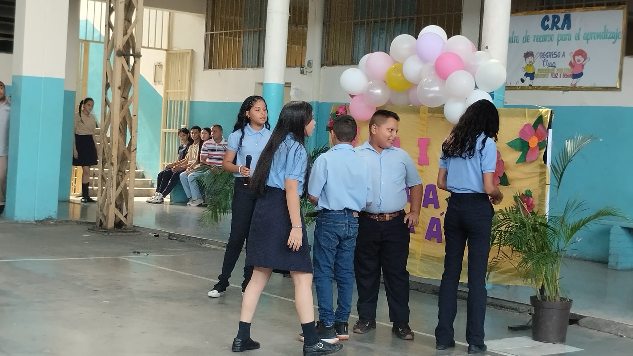
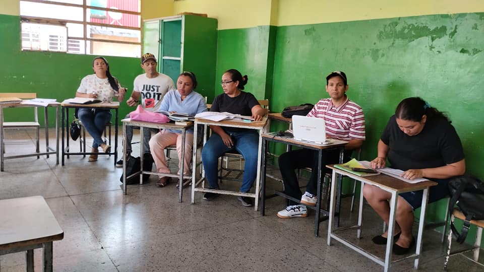
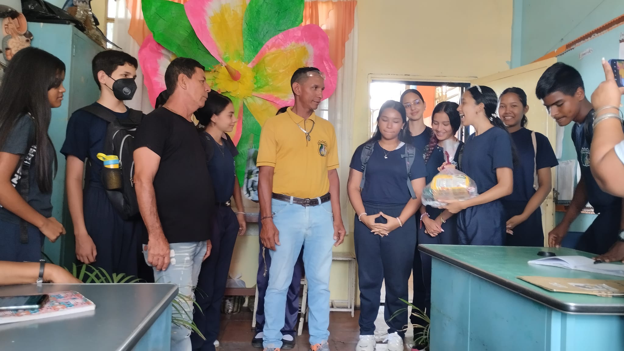
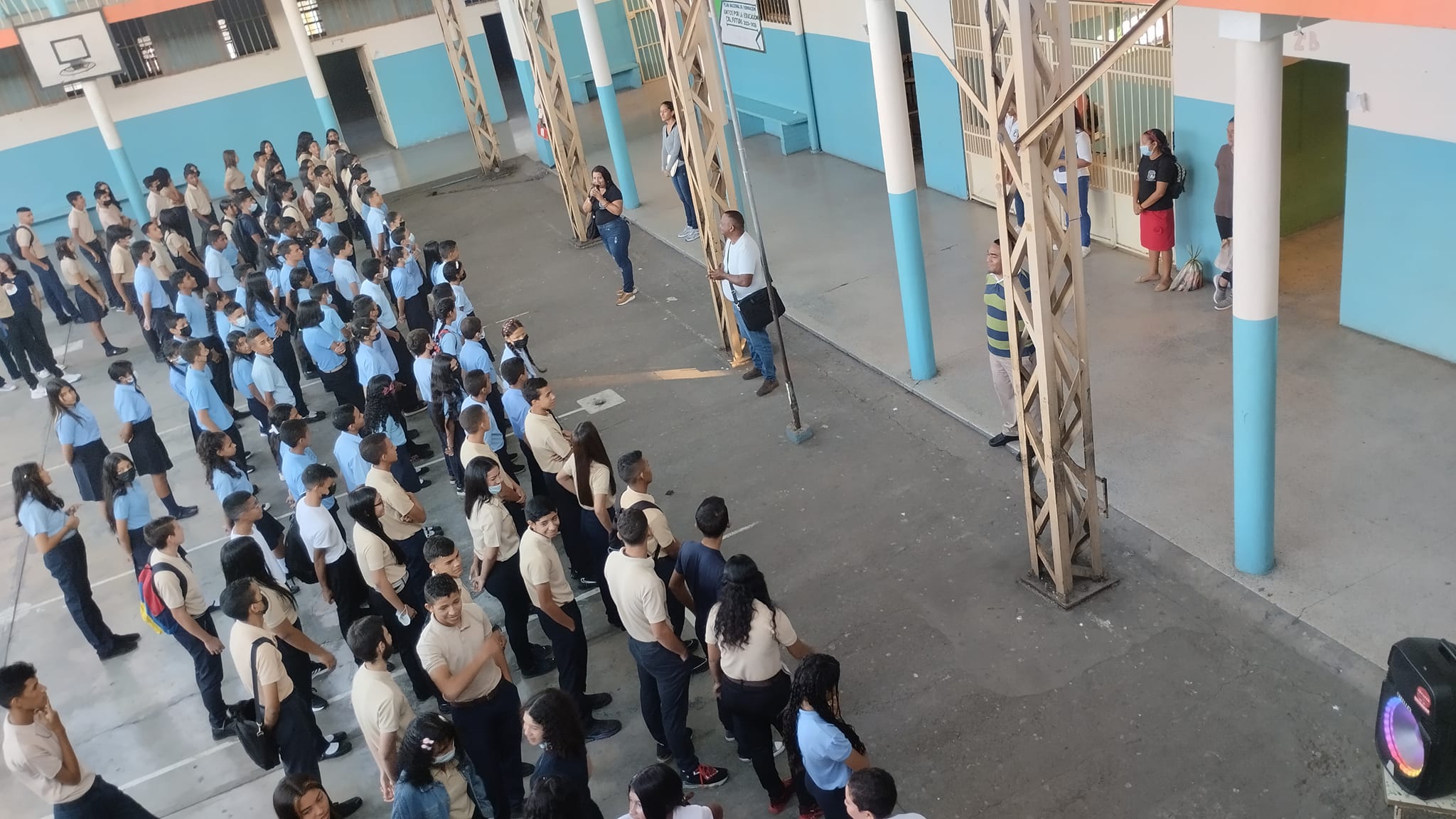
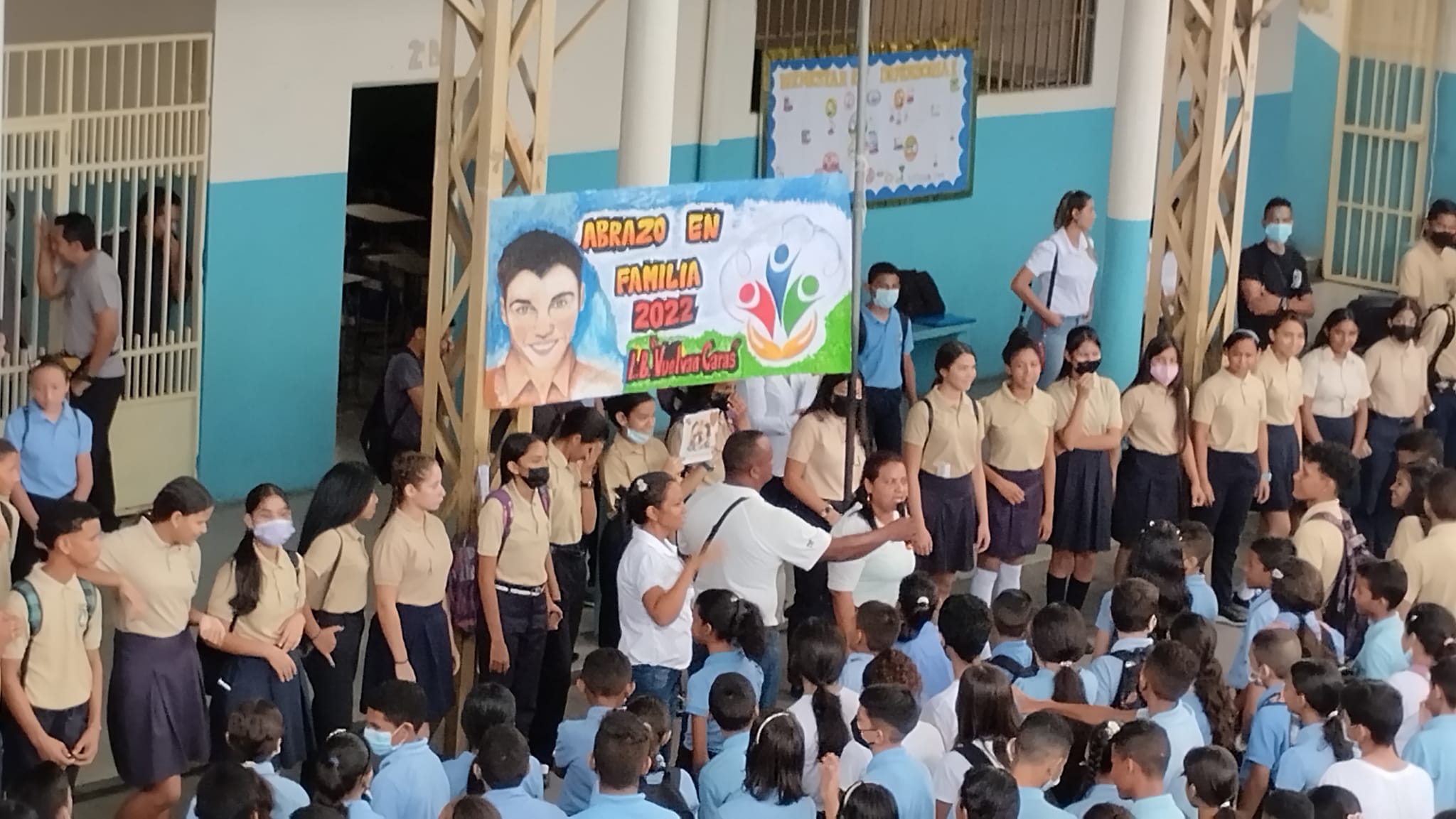
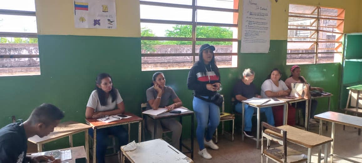
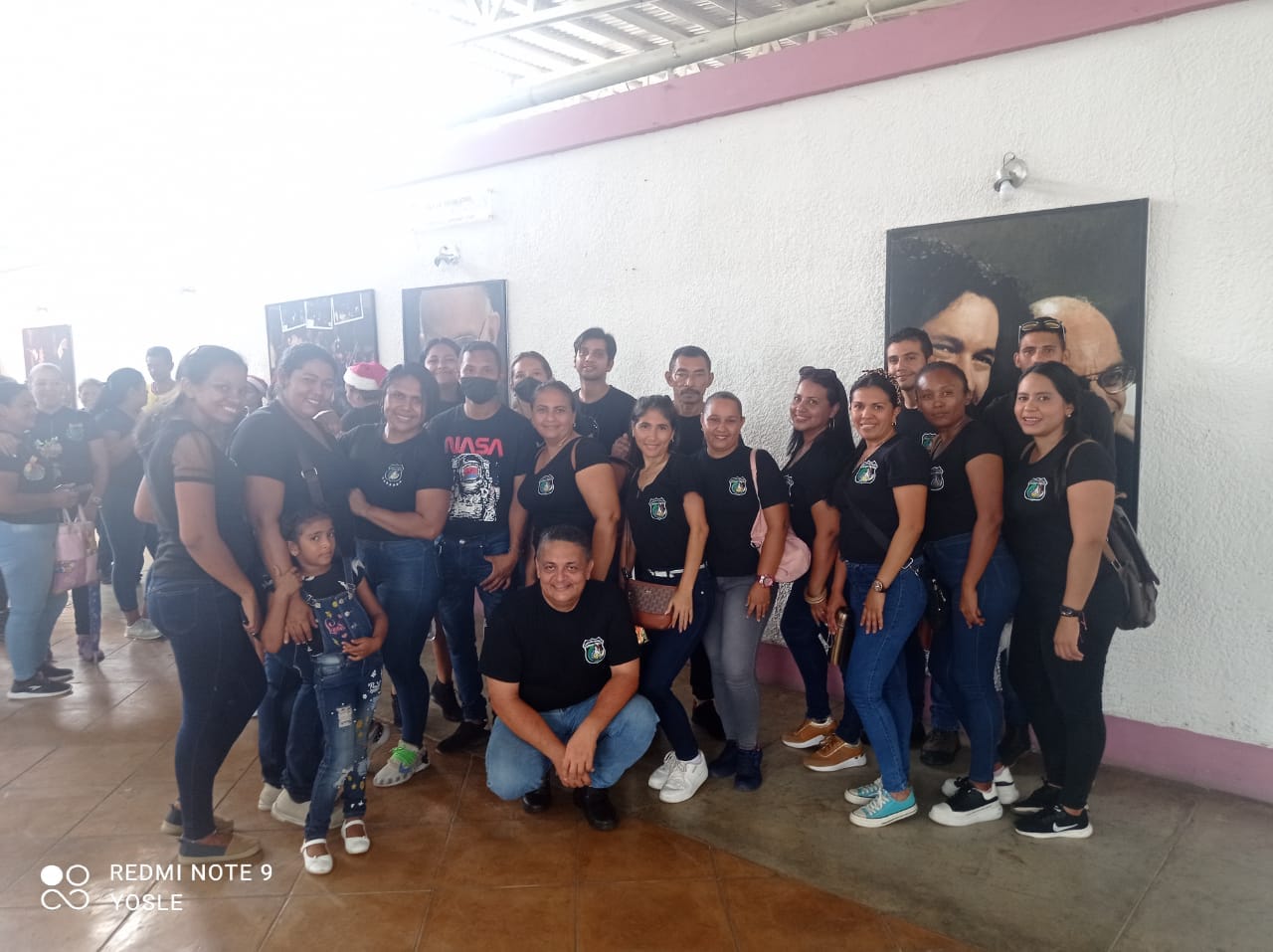
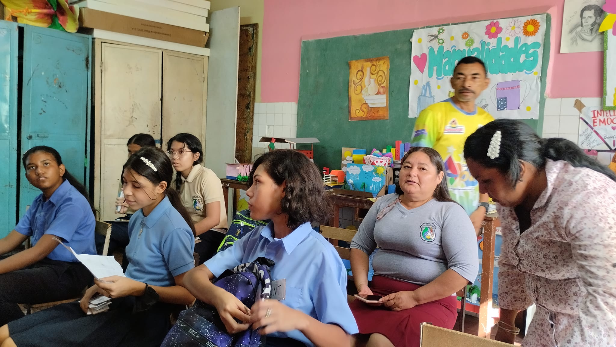
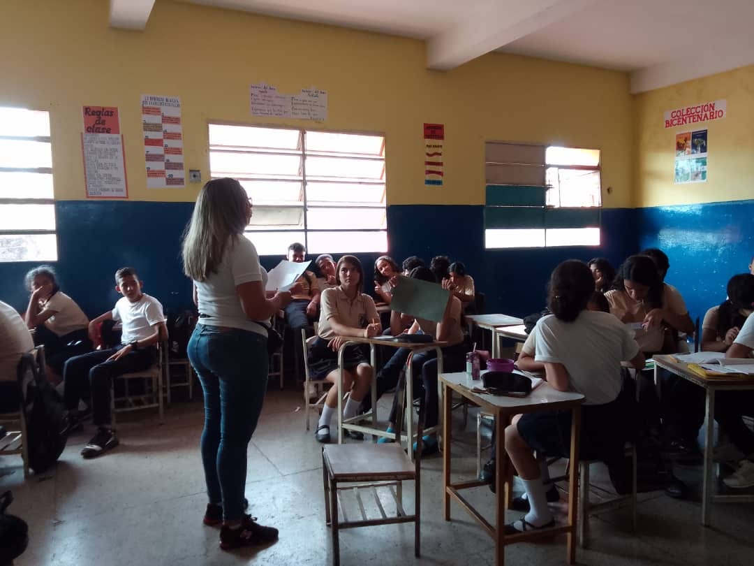
Liceo Bolivariano (publico) Vuelvan Caras, en San Fernando de Apure, estado Apure:
Spoiler!
My Updated 23andme Results (2021)
My Updated AncestryDNA Results (2022)
My Global25 Coordinates (2020)
An Epic Thread about me opened by Profield
| Thumbs Up |
| Received: 19,527 Given: 37,005 |
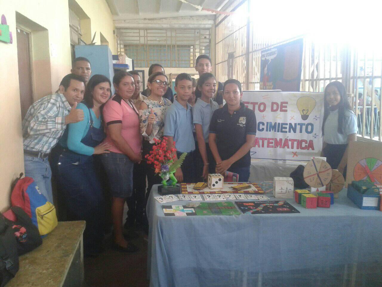
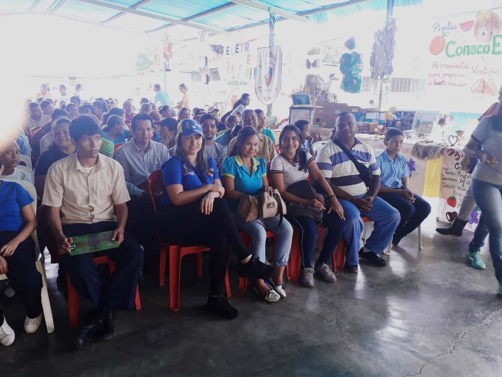
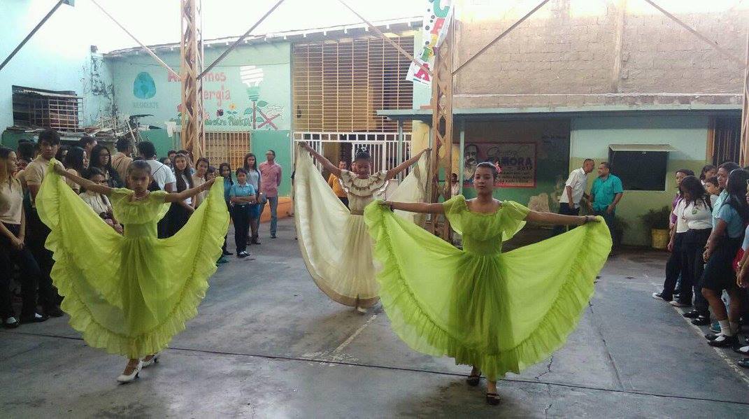
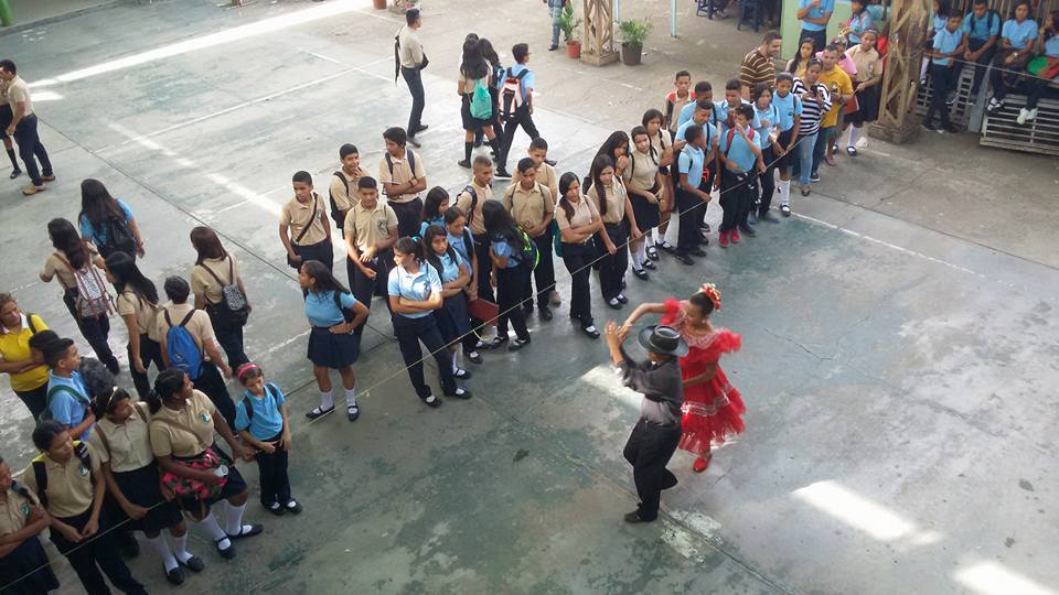
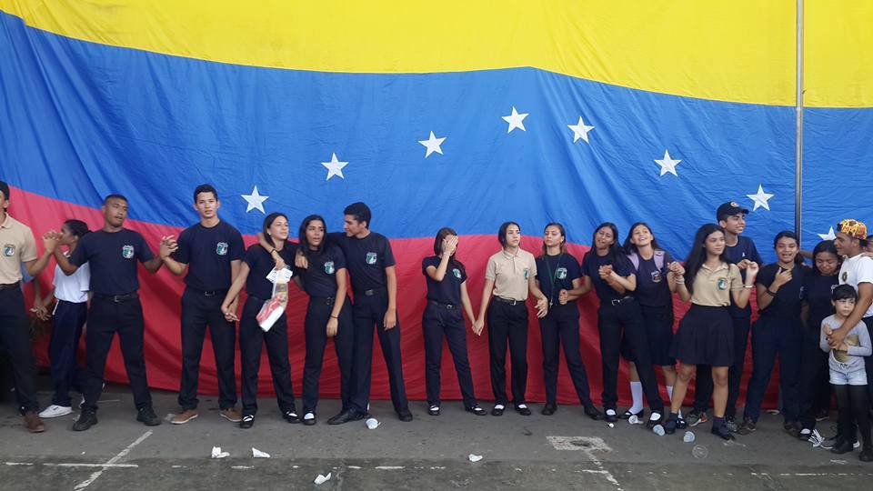
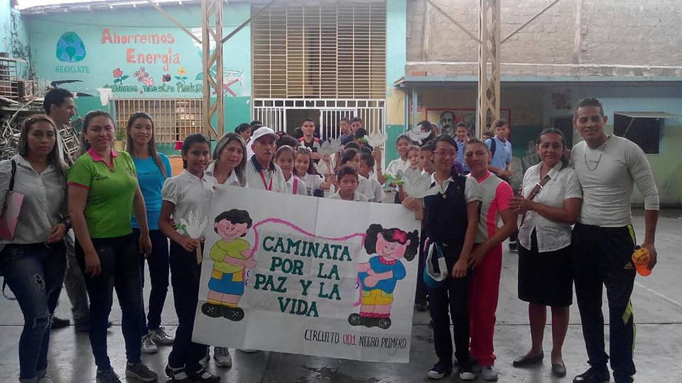
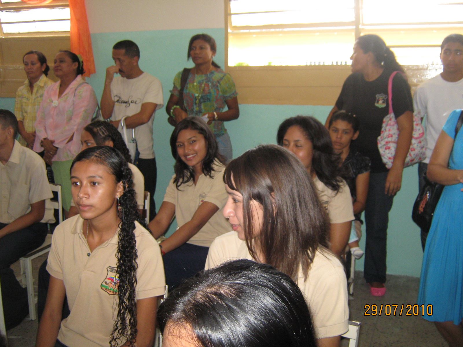
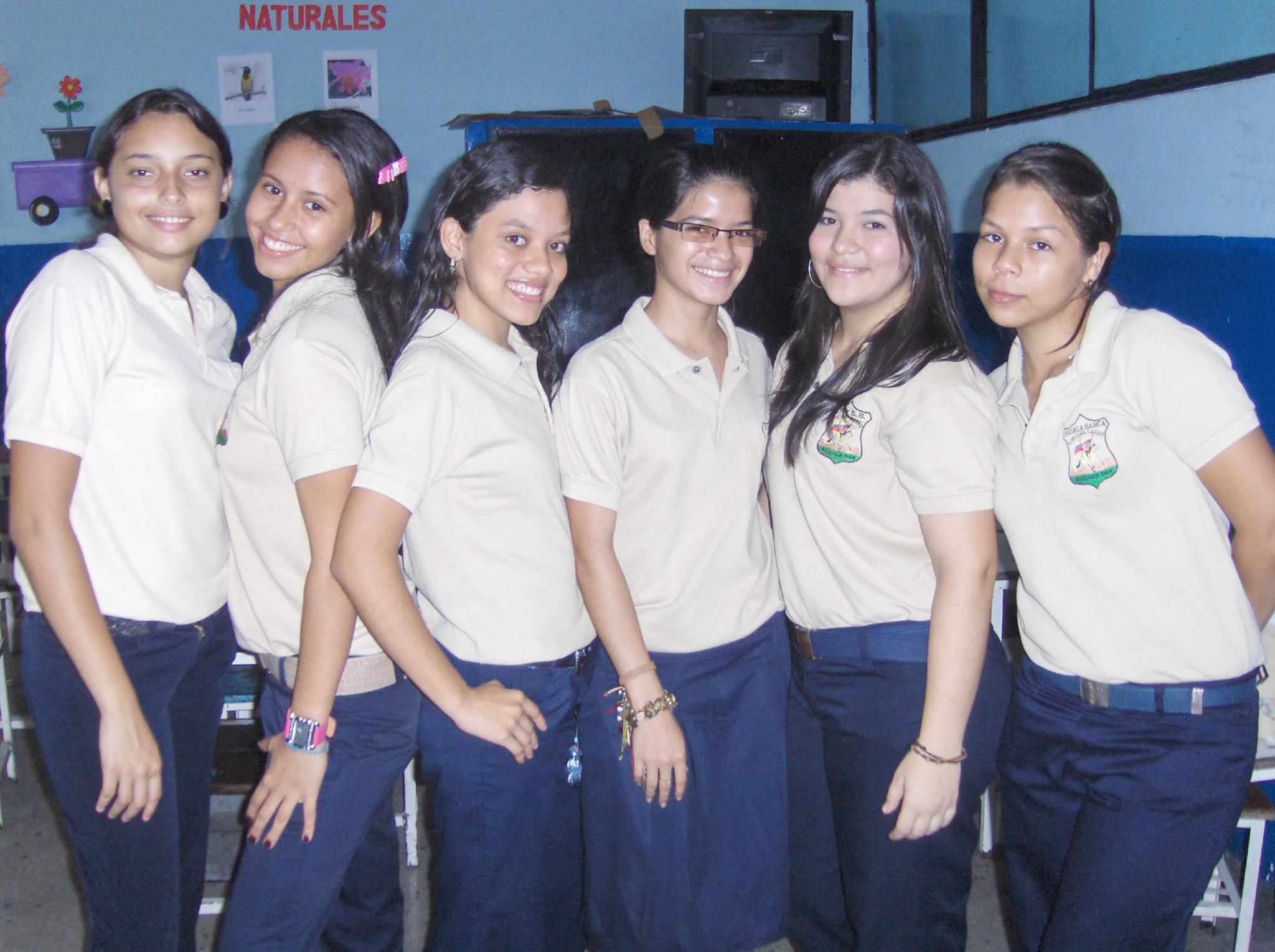
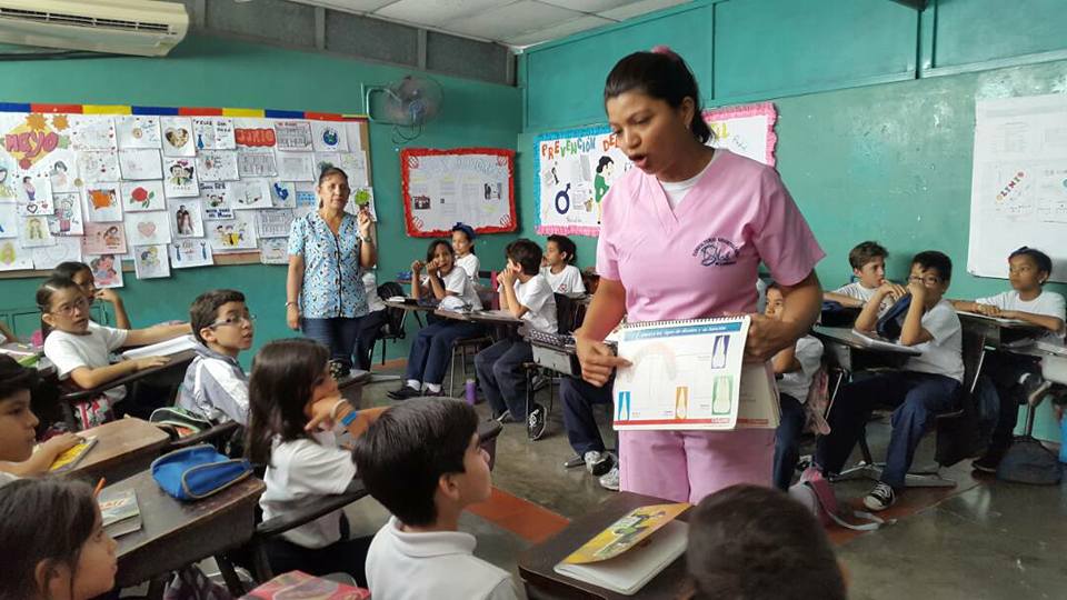
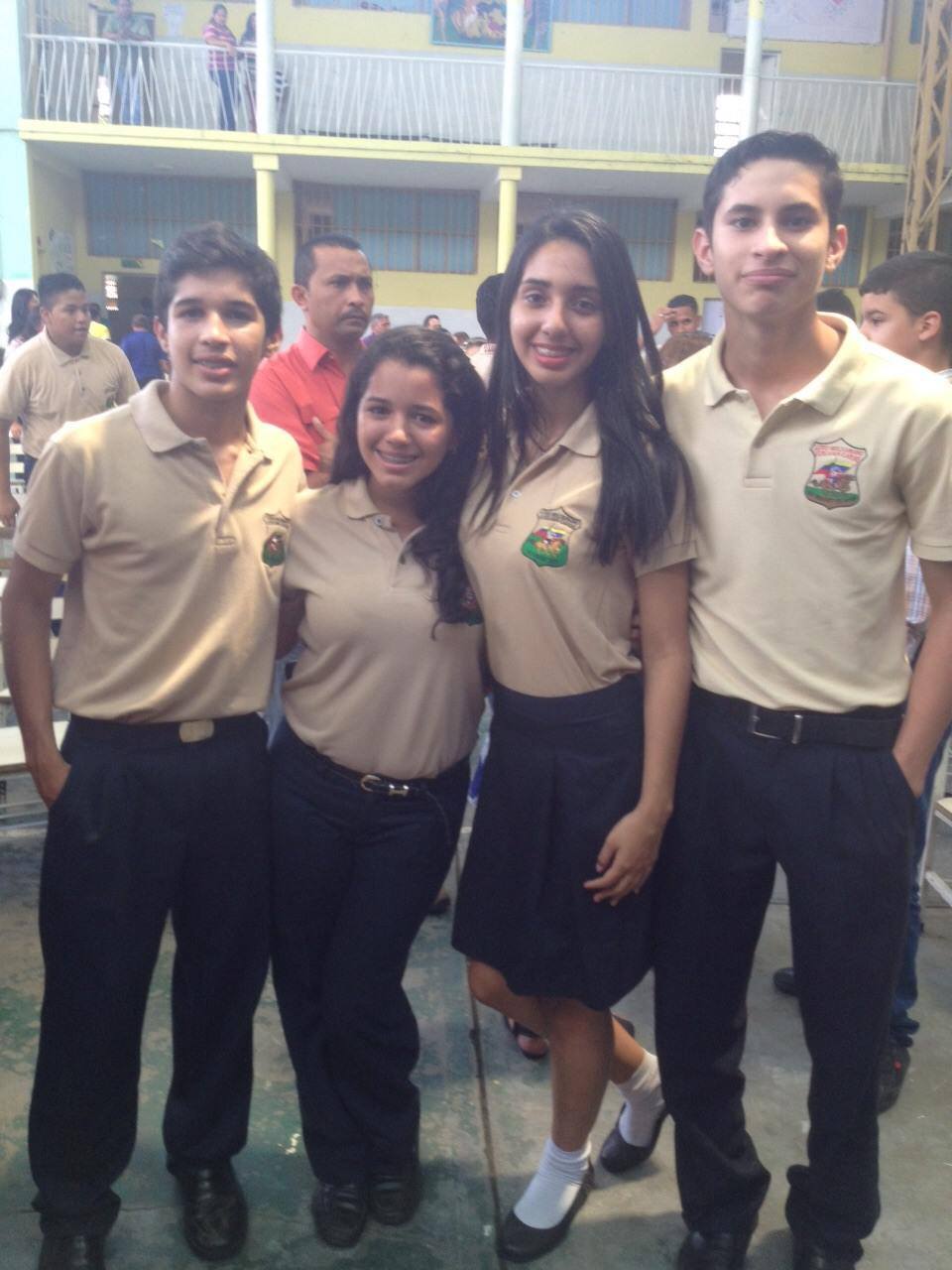
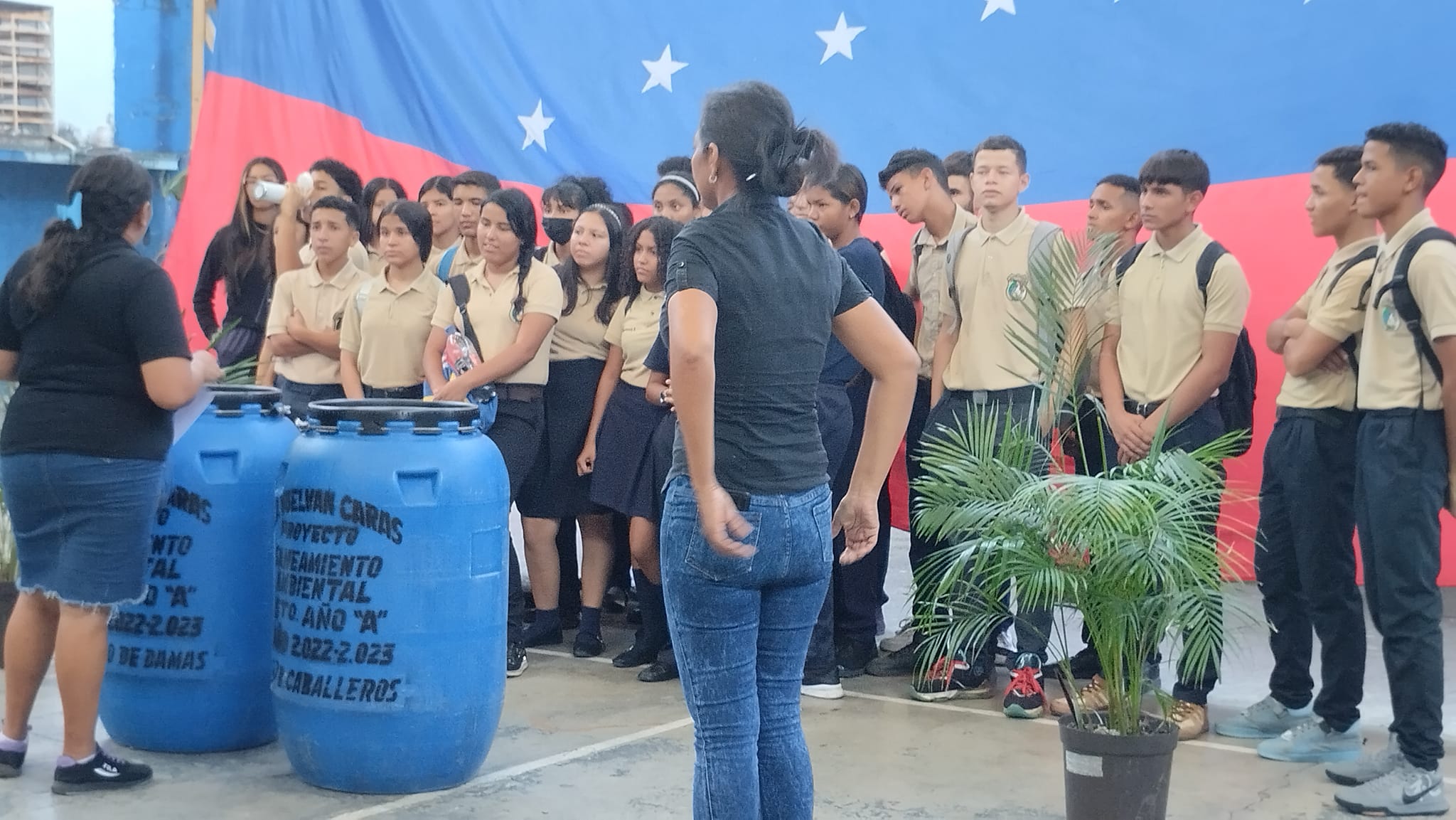
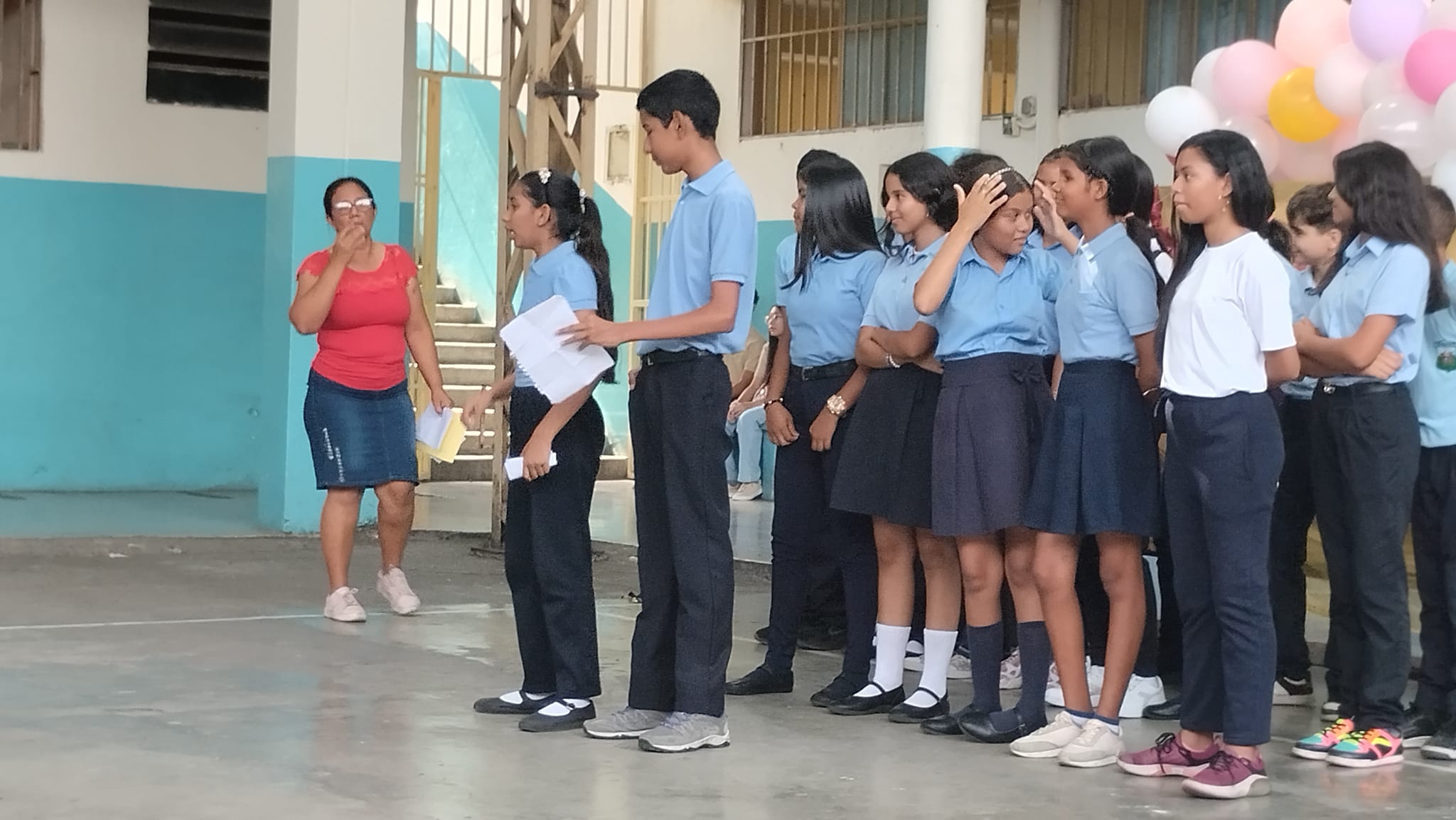
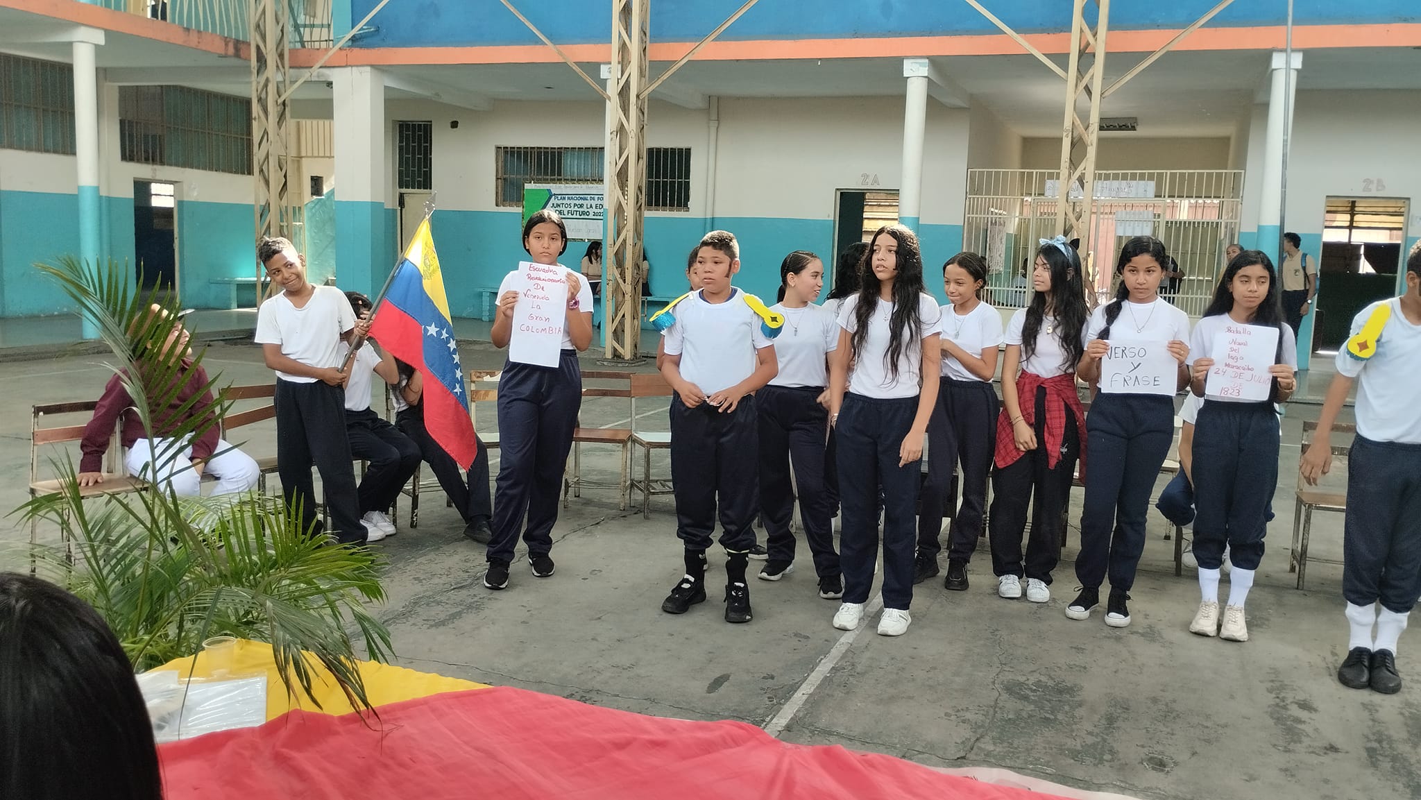
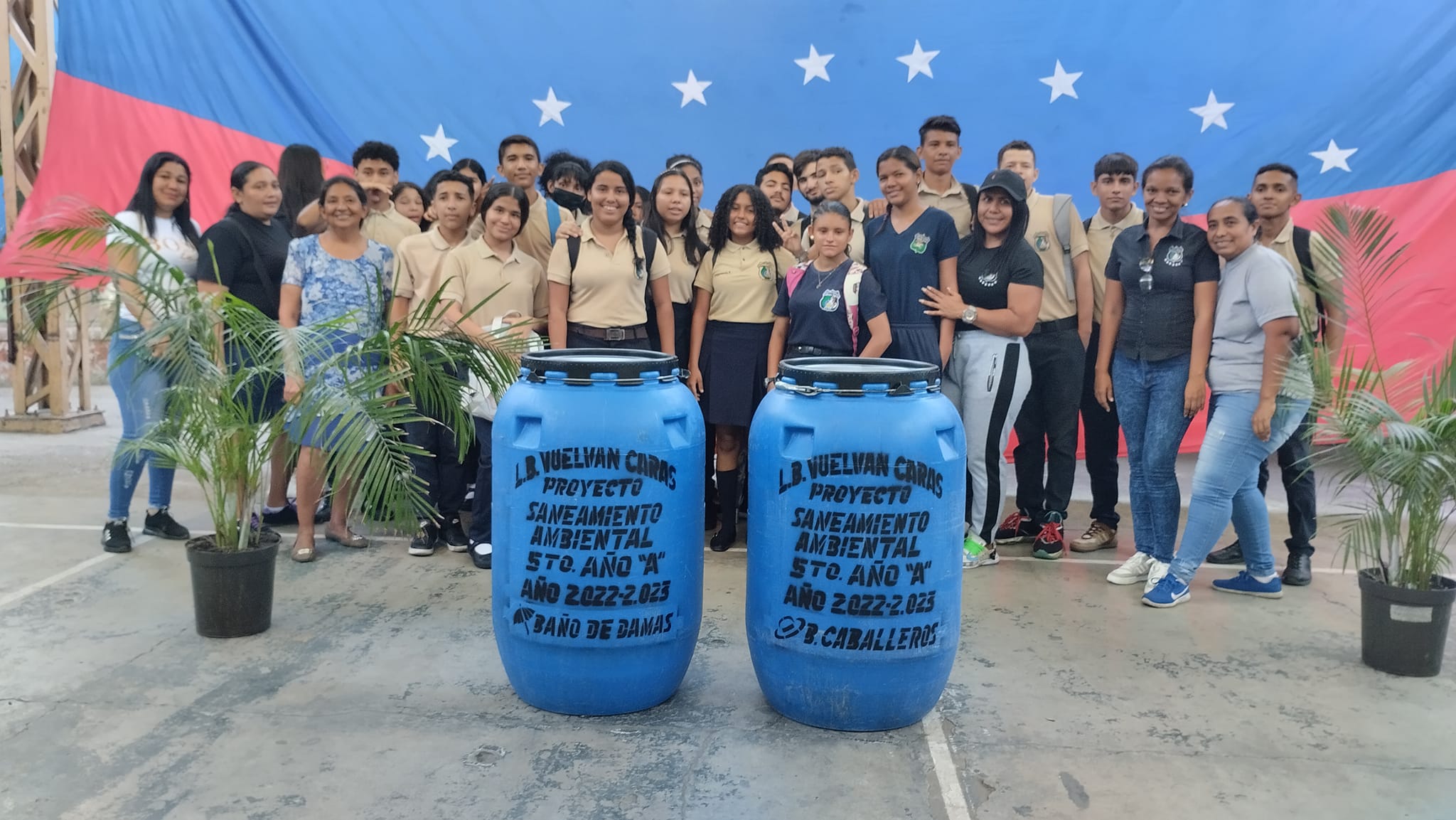
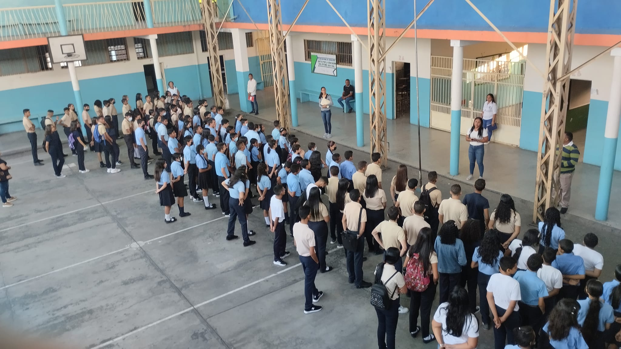
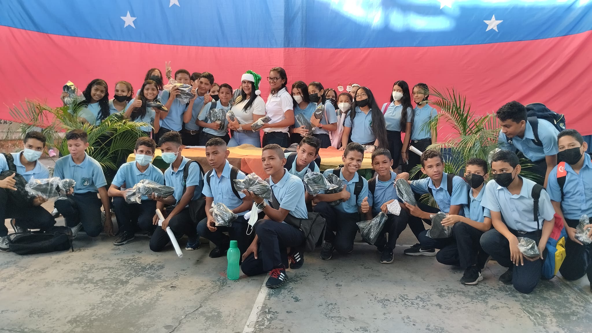
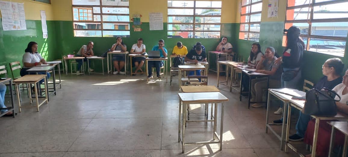
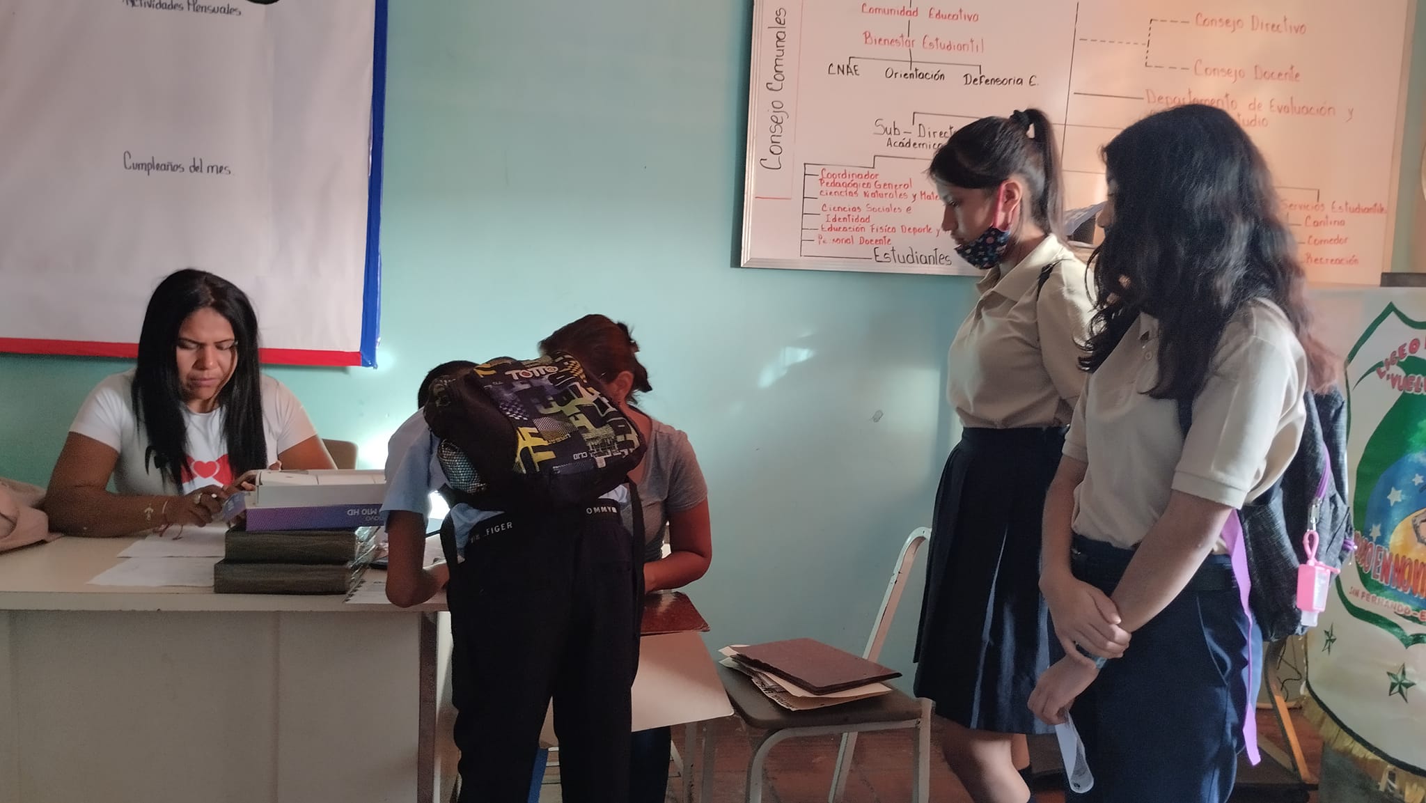
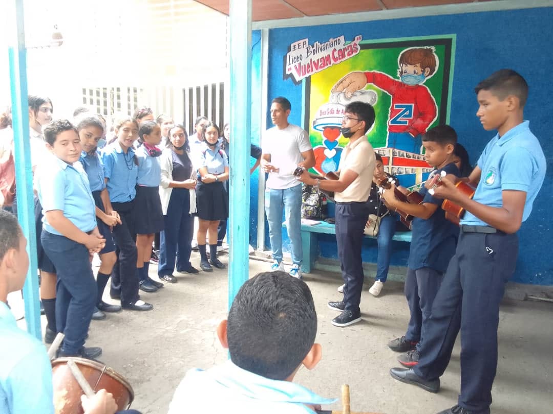
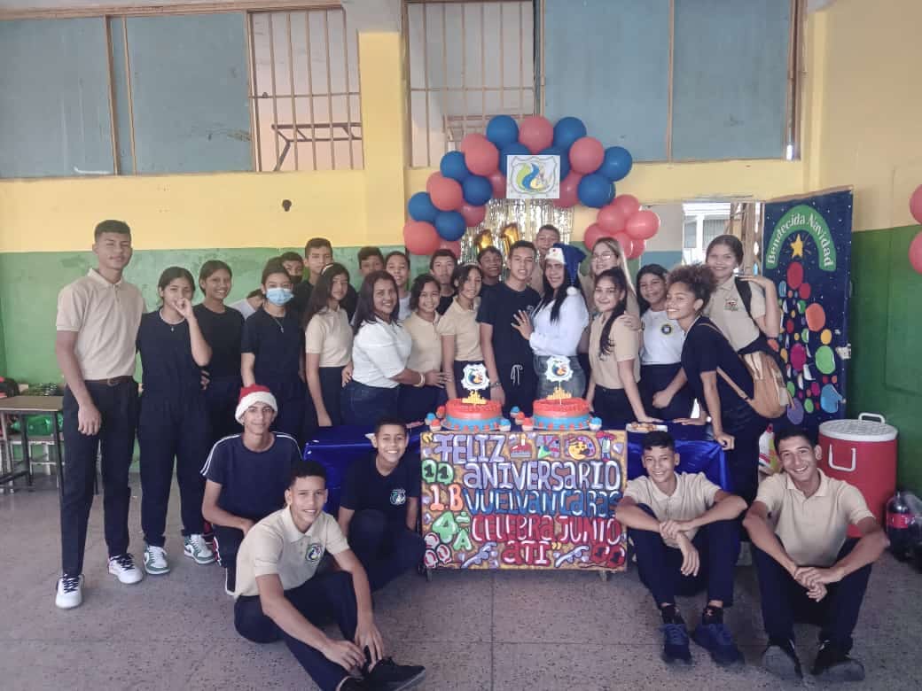
Liceo Bolivariano (publico) Vuelvan Caras, en San Fernando de Apure, estado Apure:
Spoiler!
My Updated 23andme Results (2021)
My Updated AncestryDNA Results (2022)
My Global25 Coordinates (2020)
An Epic Thread about me opened by Profield
| Thumbs Up |
| Received: 19,527 Given: 37,005 |
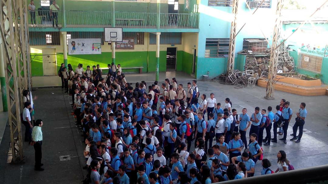
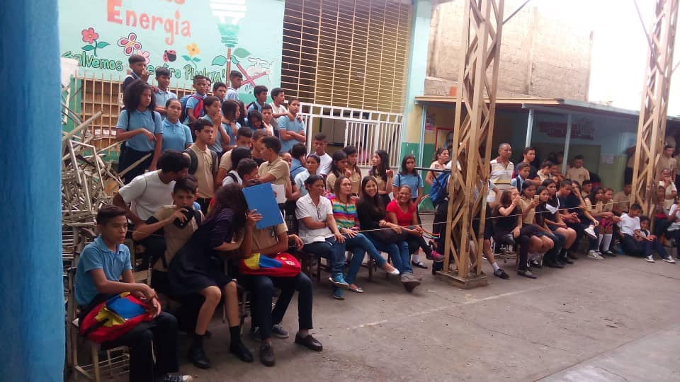
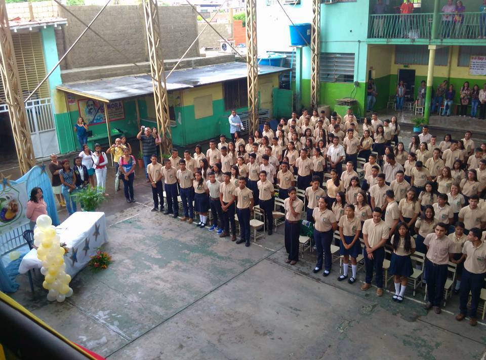
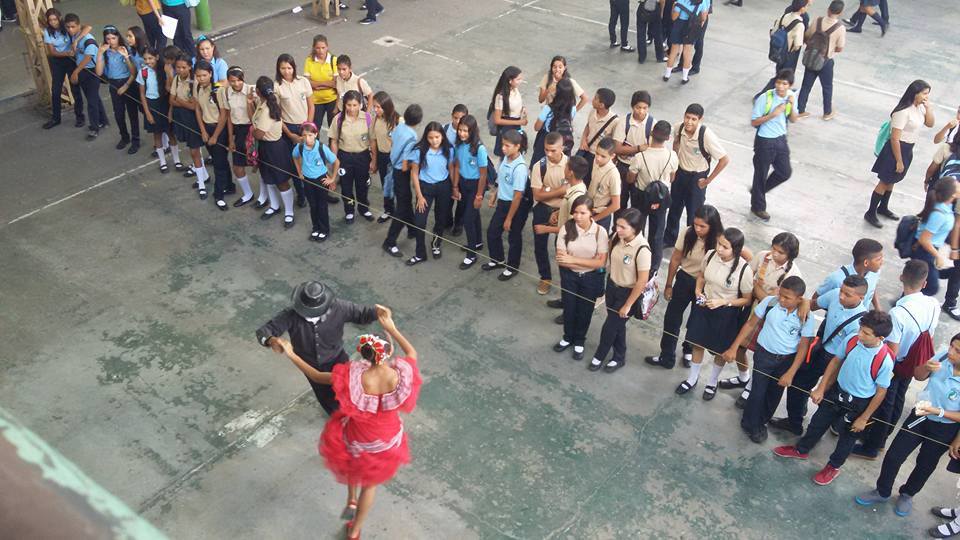
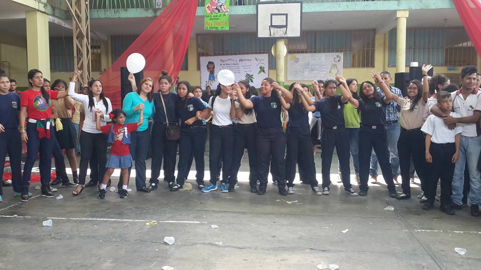
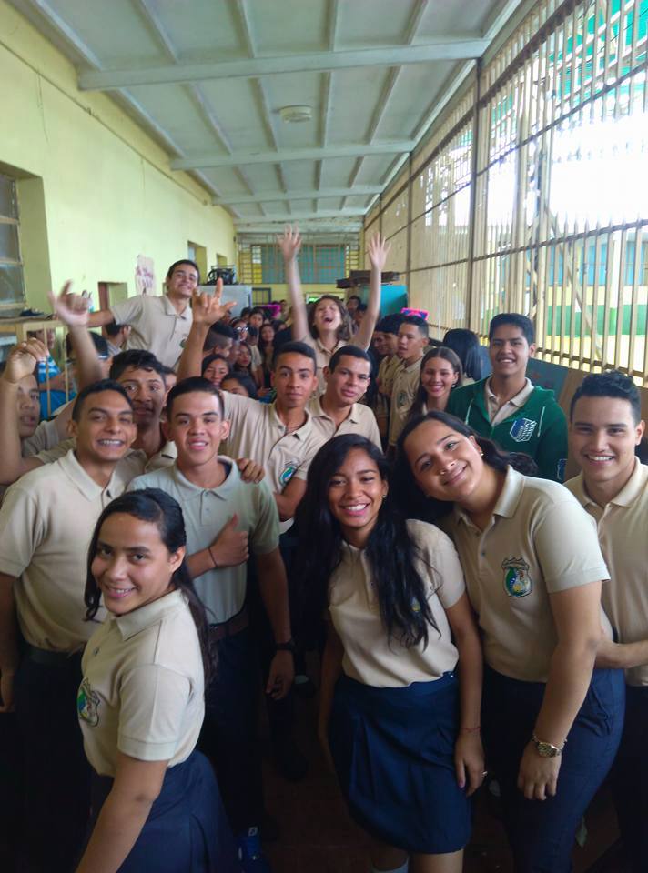
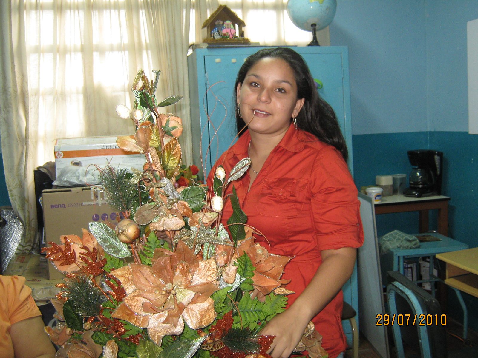
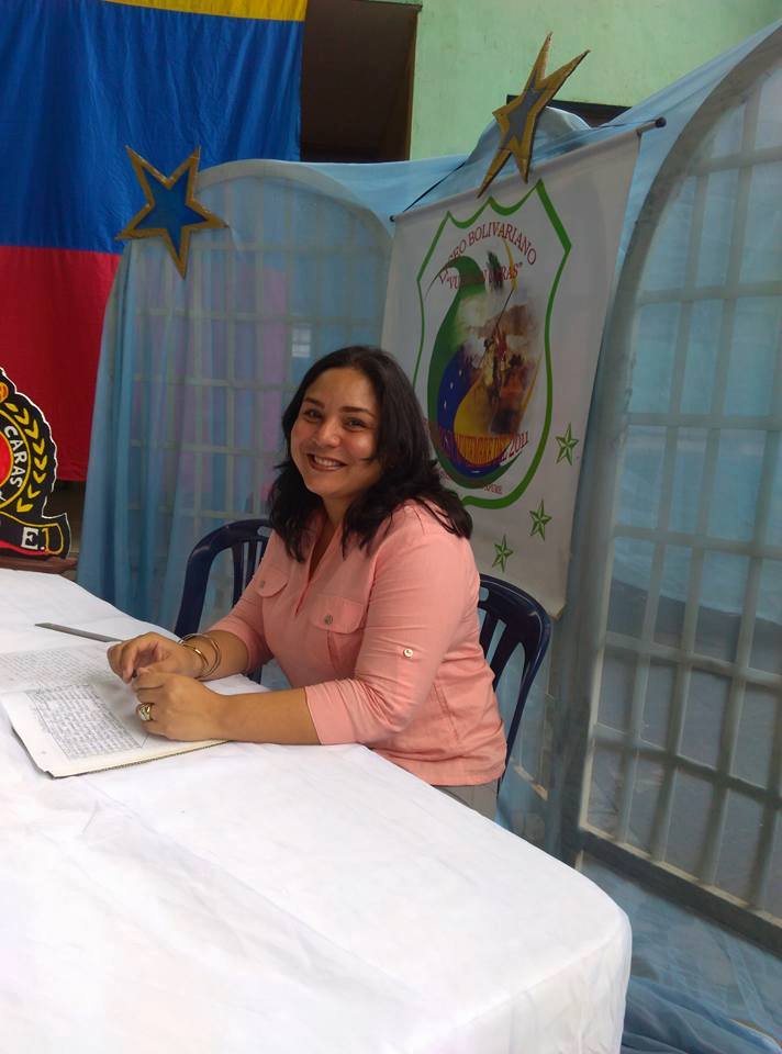
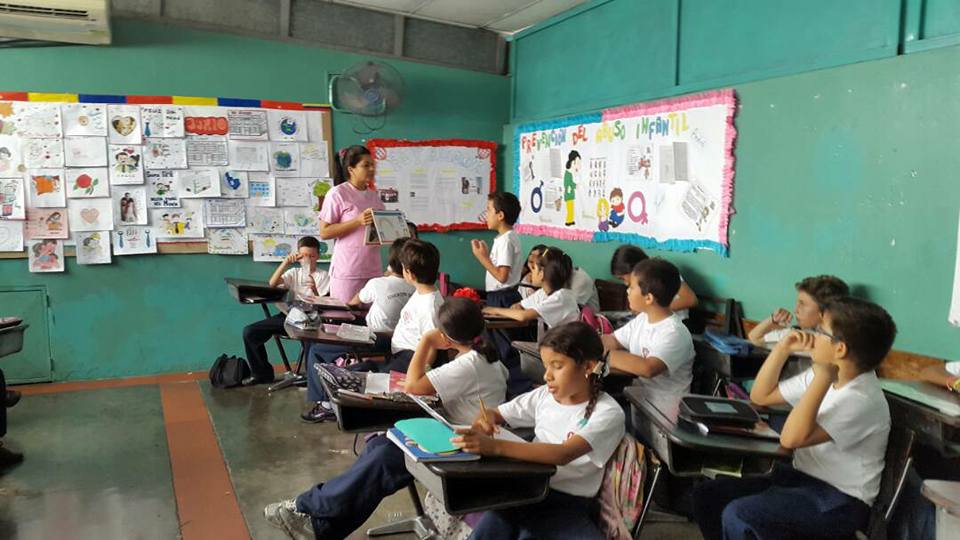
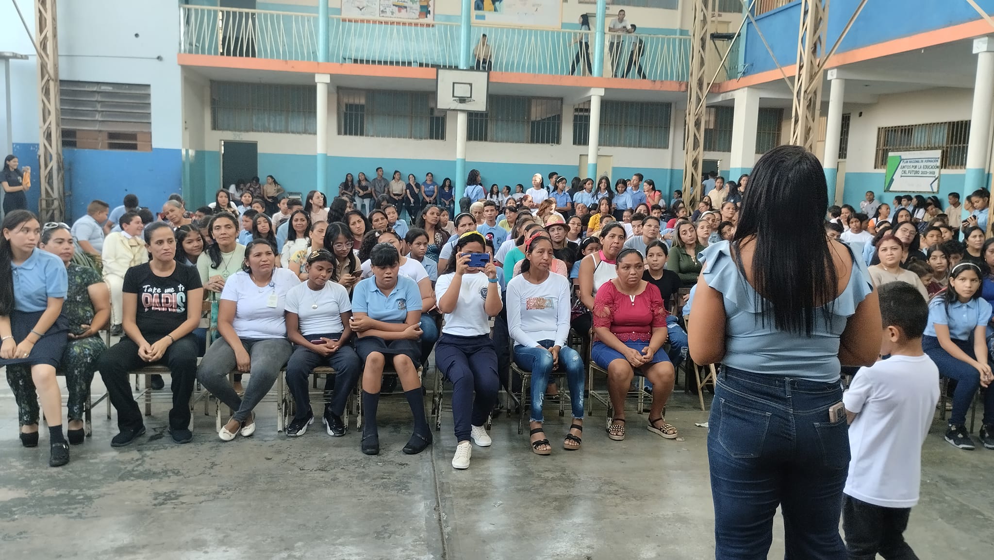
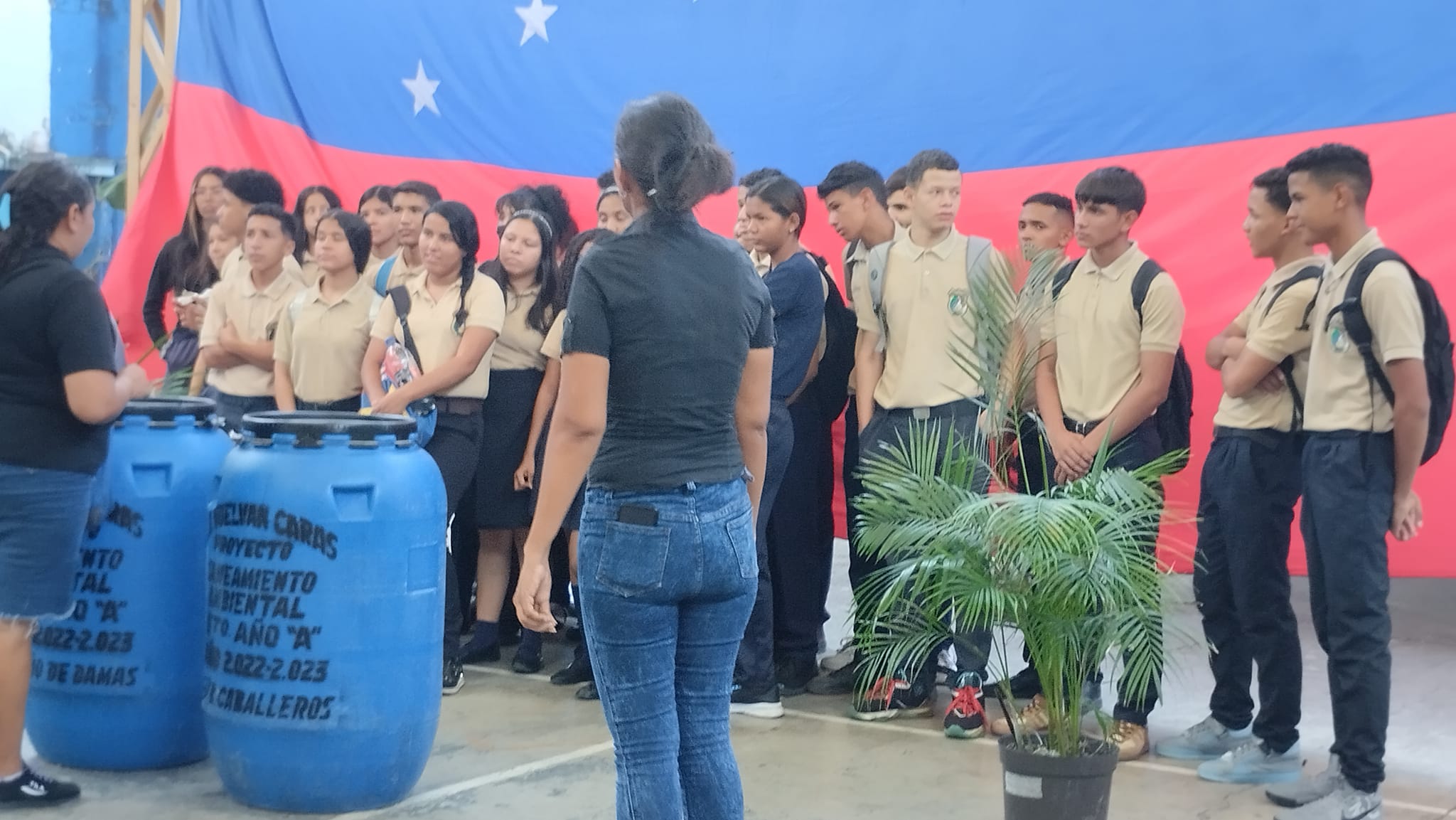
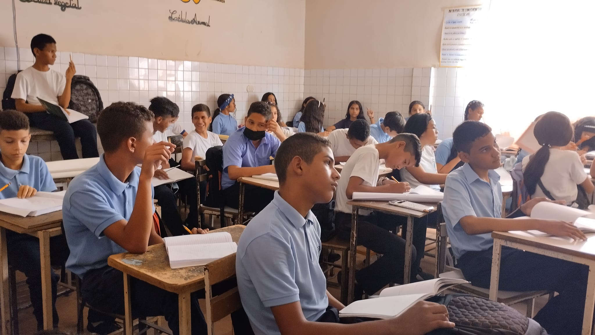
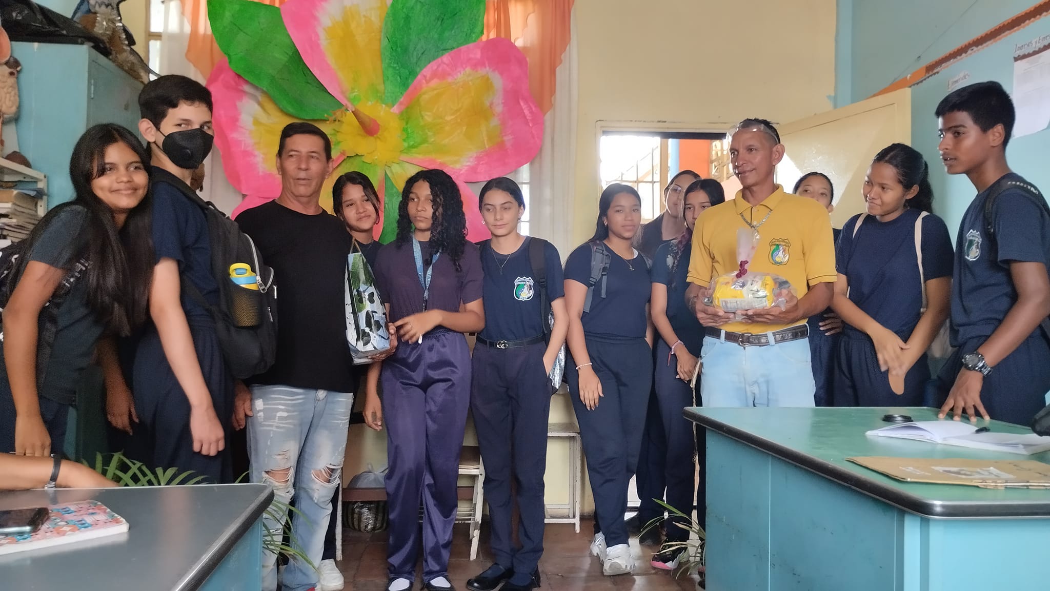
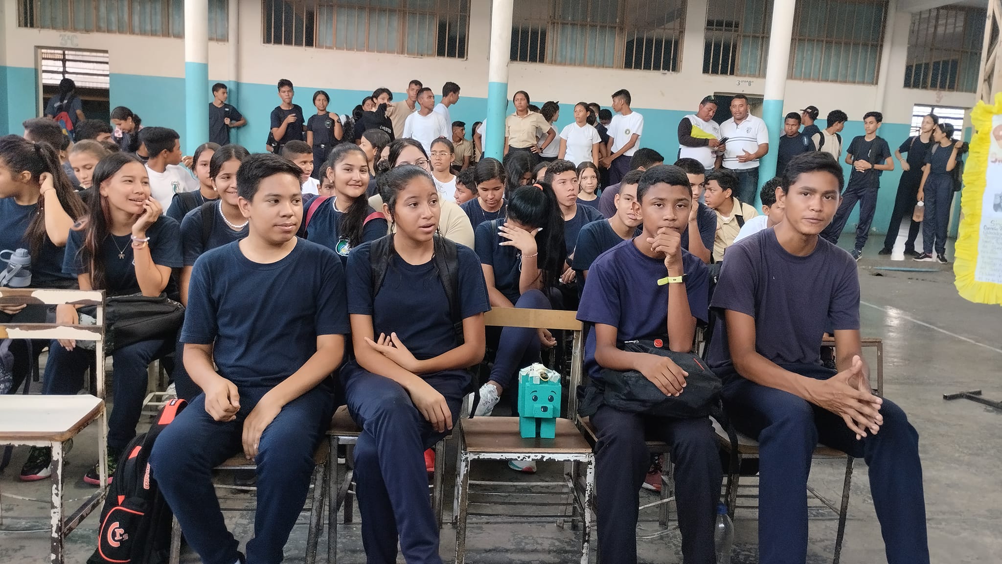
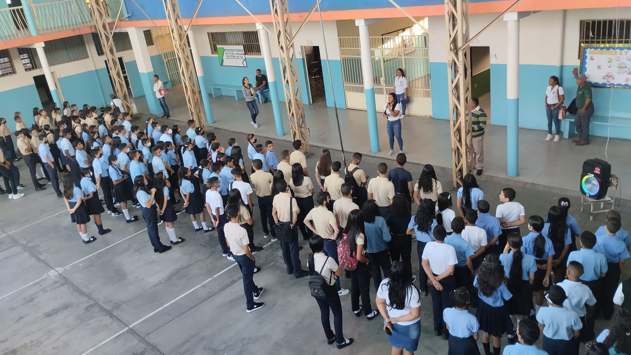
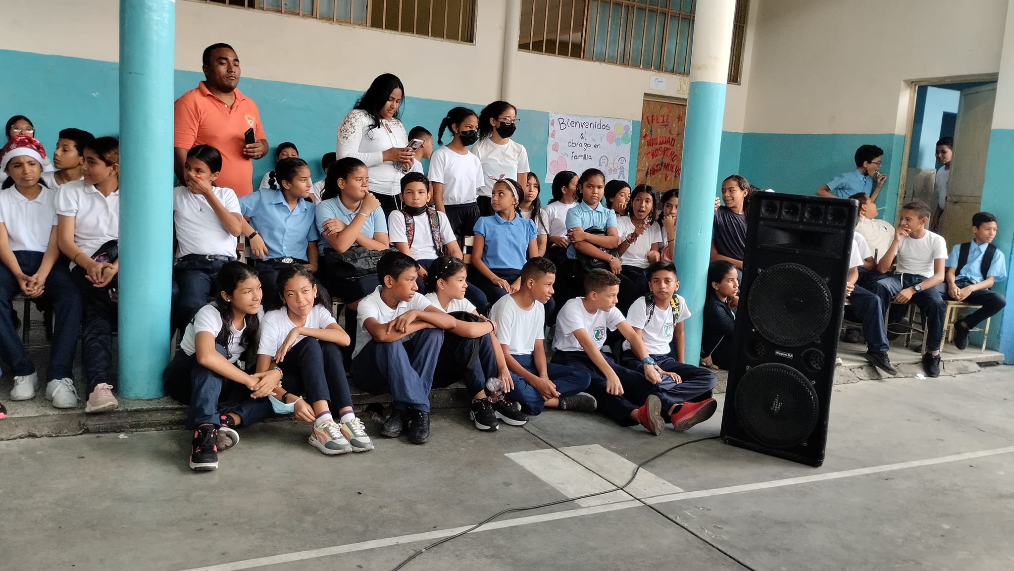
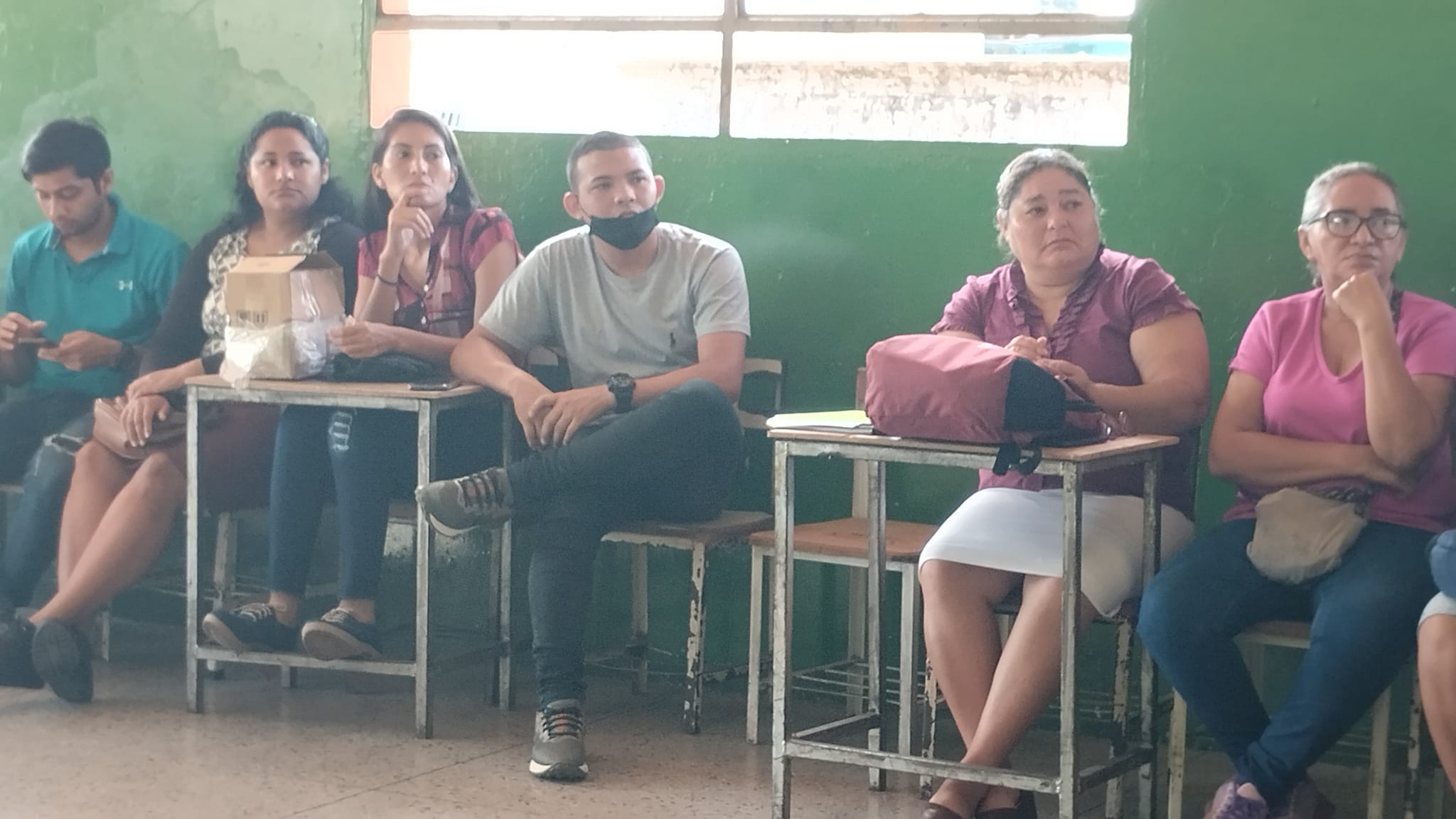
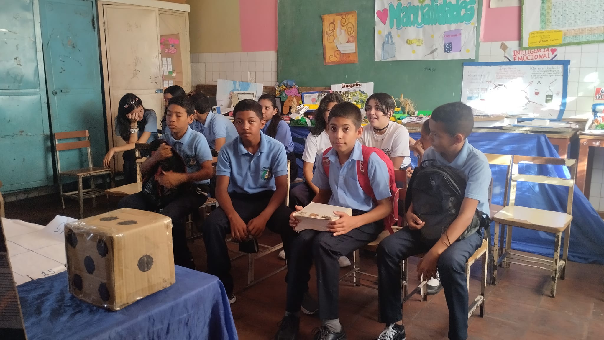
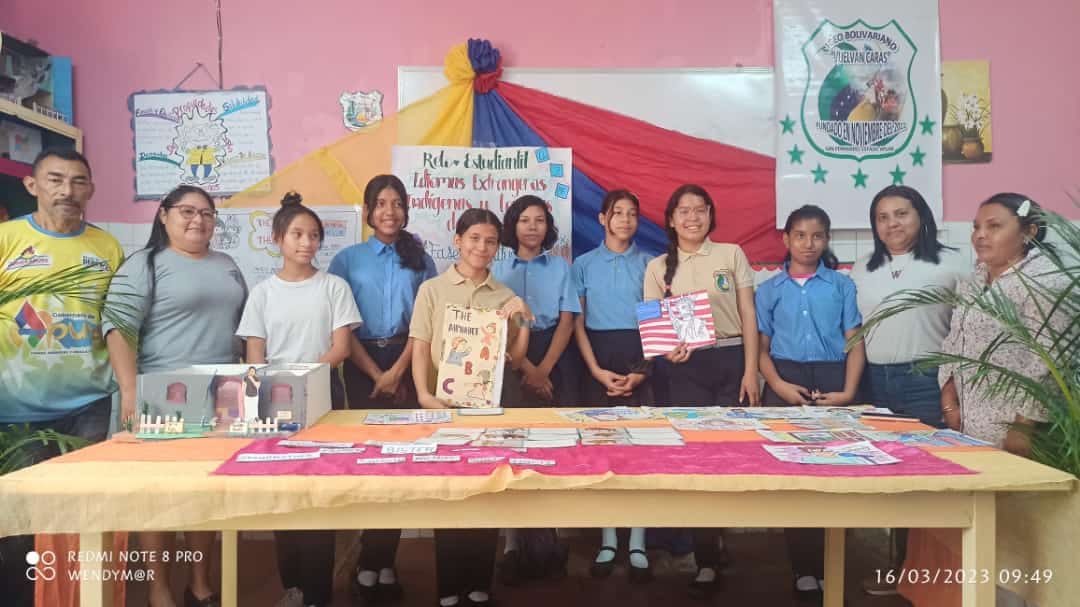
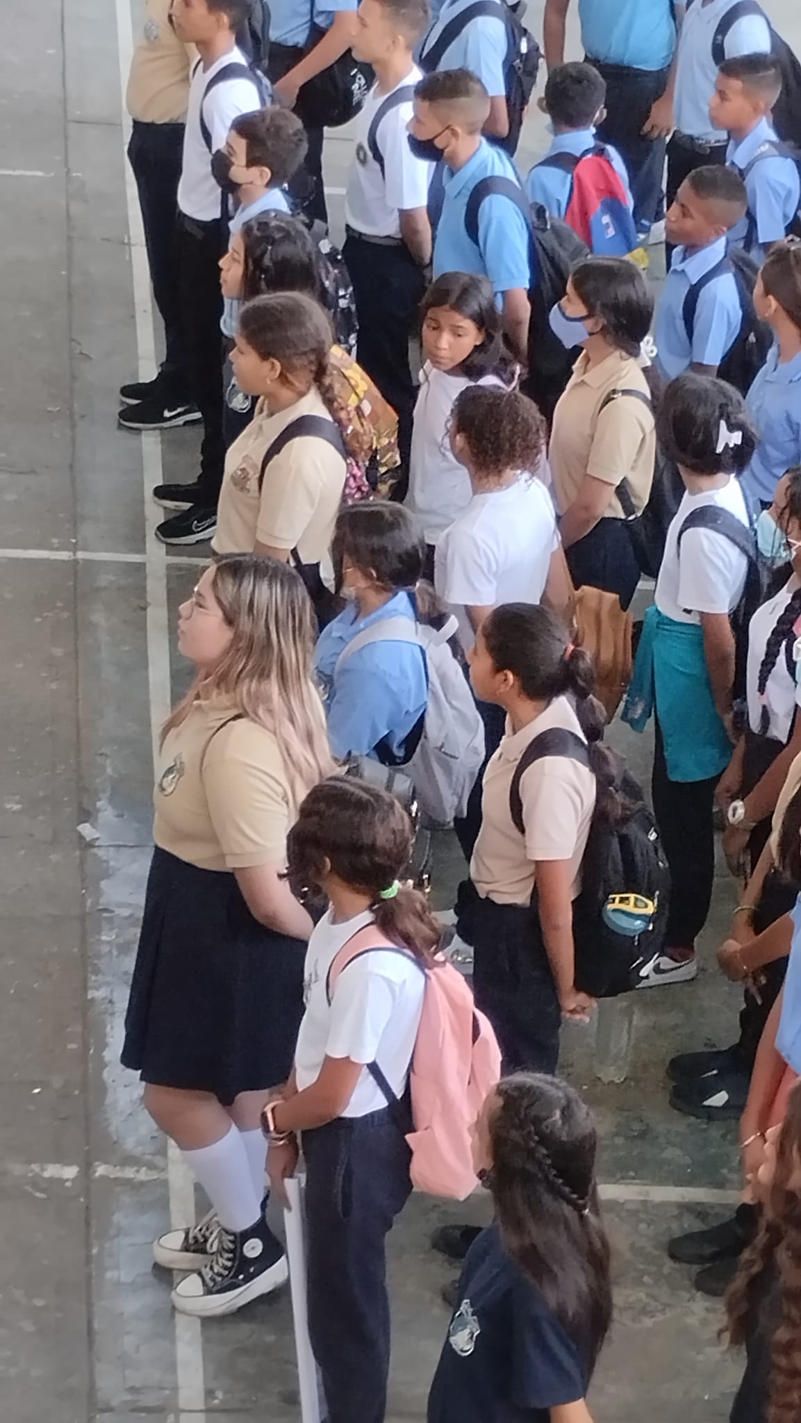
Liceo Bolivariano (publico) Vuelvan Caras, en San Fernando de Apure, estado Apure:
Spoiler!
My Updated 23andme Results (2021)
My Updated AncestryDNA Results (2022)
My Global25 Coordinates (2020)
An Epic Thread about me opened by Profield
There are currently 1 users browsing this thread. (0 members and 1 guests)
 Latin America
Latin America
Latin America
Latin America
Latin America
Latin America
Latin America
Latin America
Latin America
 Posting Permissions


 Reply With Quote


Bookmarks