MAPS
|
|
|
|
|
|
|
|
|
|
|
|
|
|
|
|
|
|
|
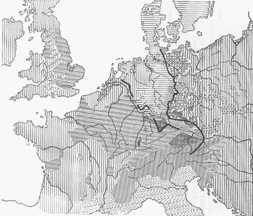
The Slav frontier (limes sorabicus) of the time of Charlemagne is drawn from Kiel into the Eastern Alps; the northern and the eastern frontier of Roman dominion in the first centuries A.D. is likewise drawn from the Danube to the lower Rhine. The map shows natural and tribal phenomena, and is only of subsidiary use for racial history. |
|
MAP XX: THE FORMS OF SETTLEMENT IN CENTRAL AND NORTH-WESTERN EUROPE