


1


| Thumbs Up |
| Received: 19,481 Given: 36,899 |
Continuing with my series of threads of Venezuelan phenotypes by states, I have had to do this remake of the "Venezuelans from Miranda state" thread, just like I did with the threads of the states of Anzoategui and Guarico, after so many pictures I posted in the original versions of those threads got vanished.
The original thread of people from Miranda state was going well (while I was only posting videos), but then got screwed up when lots of pictures from a private university in eastern Caracas got vanished.
So, I'm going to start just copying and pasting my first post from that thread, with some few edits:
Location of Miranda state:
Total population of the state: 4 624 343 (2016)
Area: 7,950 km2 (3,070 sq mi)
It limits to the north with the state of La Guaira (formerly Vargas), to the Northwest with the capital district (Libertador Municipality), to the east with the Caribbean sea, to the southeast with Anzoategui state, to the south with Guarico state, and to the west and southwest with Aragua state.
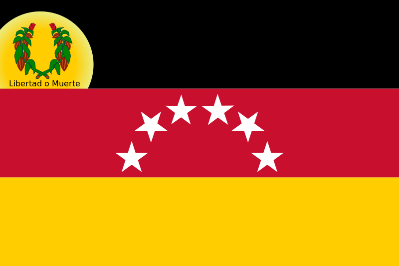
State Flag:
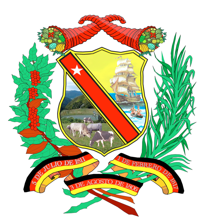
State coat of arms:
The Venezuelan state of Miranda is one of the Venezuelan states with most radical contrasts in its racial composition when comparing some areas of the state with others.
In this relief map of the state:
The black circle demarcates the coastal lowlands of Barlovento. There, the majority of the population is between black and griffe; The area demarcated by the gray circle (to the south) corresponds to the Tuy river valley, and is a mostly triracial /mestizo area with a considerable SSA input, although not that strong like in the Barlovento region; the orange area (to the north) corresponds to the area where the satellite cities of Guarenas and Guatire (of intermediate altitude) are located, plus the poor neighborhood of Petare (in the extreme east of Caracas); And it is an area with many poor neighborhoods but also some middle class areas (in Guarenas and Guatire), with many people between triracial and griffe, but there are also some mestizos, Euro mestizos, etc, (I would say something similar racially to the Valles del Tuy).
In contrast, the area demarcated with the purple circle (to the northwest) corresponds to mostly middle, upper middle and upper class municipalities in eastern Caracas (excluding Petare in the extreme east of the city), where there have always been many people between white and Euro mestizo (like many of middle to upper class people in the Venezuelan soap operas).
And finally, the blue circle (to the very west) demarcates the area known as Los Altos Mirandinos because it is located at a higher altitude than Caracas (1400 meters above the sea level and higher altitudes). This area in the past received a lot of Portuguese immigration, although today, its population is quite varied. In this area are the satellite cities of San Antonio de Los Altos (mostly middle / upper middle class) and Los Teques (varied in social composition). Here is also the German mountain town of El Jarillo
It must be said that the low lands of Barlovento (black circle) is the most sparsely populated area of the Miranda state. The highest population density of this state is found in the western half of it: East of Caracas (into the purple circle, is the area with the highest population density); the area of Petare, Guarenas and Guatire (in orange); the valleys of Tuy (gray circle); and the Altos Mirandinos (blue circle).
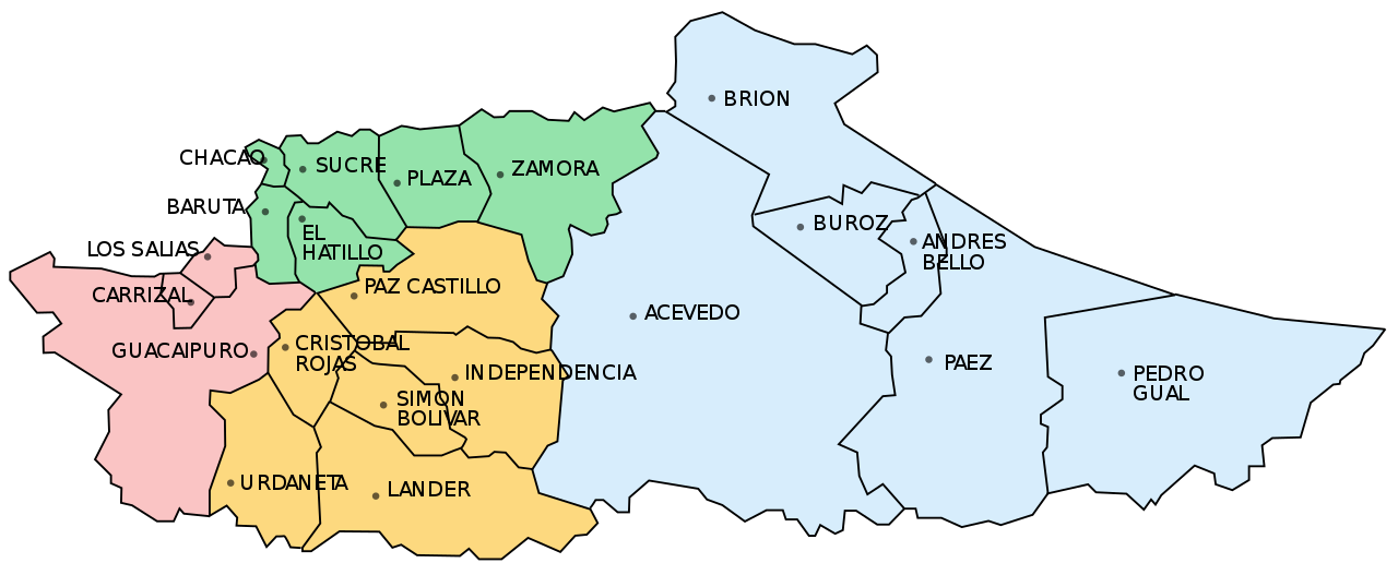
In this map of the different municipalities of the state:
-The light blue colored municipalities belong to Barlovento (black circle on map above)
-The orange colored municipalities belong to the Tuy Valley region (grey circle on map above)
-The municipalities of Plaza and Zamora colored in green, whose capitals are Guarenas and Guatire respectively, plus the easternmost parts of Sucre municipality (occupied by the big slum of Petare) correspond to the orange circle in the previous map.
-The also marked in green municipalities of Sucre, Chacao, El Hatillo, and Baruta, encompass the eastern parts of the city of Caracas that belong to Miranda state, except that the easternmost parts of Sucre (favela of Petare), together with the municipalities of Plaza and Zamora, correspond to the orange circle on the map above for my racial considerations, while the rest of that Sucre municipality (westernmost parts of that municipality that are mostly middle to upper class) would be part, along with Chacao, El Hatillo and Baruta, of the purple circle in the map above for my racial considerations.
-And finally, the municipalities colored in pink (Los Salias, Carrizal and Guaicaipuro) correspond to the area known as "Los Altos Mirandinos" (blue circle on map above).
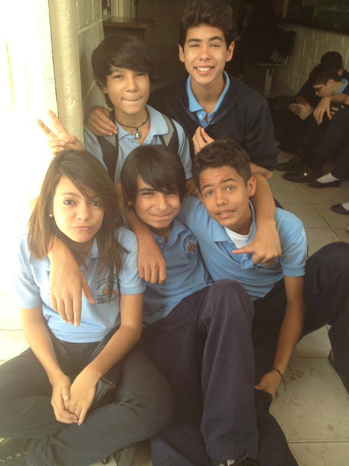
That being said, the population of Miranda state can go from this (in the Barlovento lowlands):
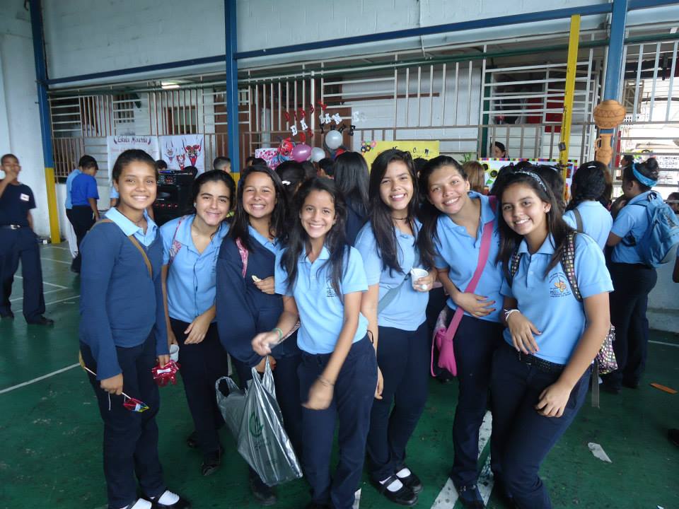
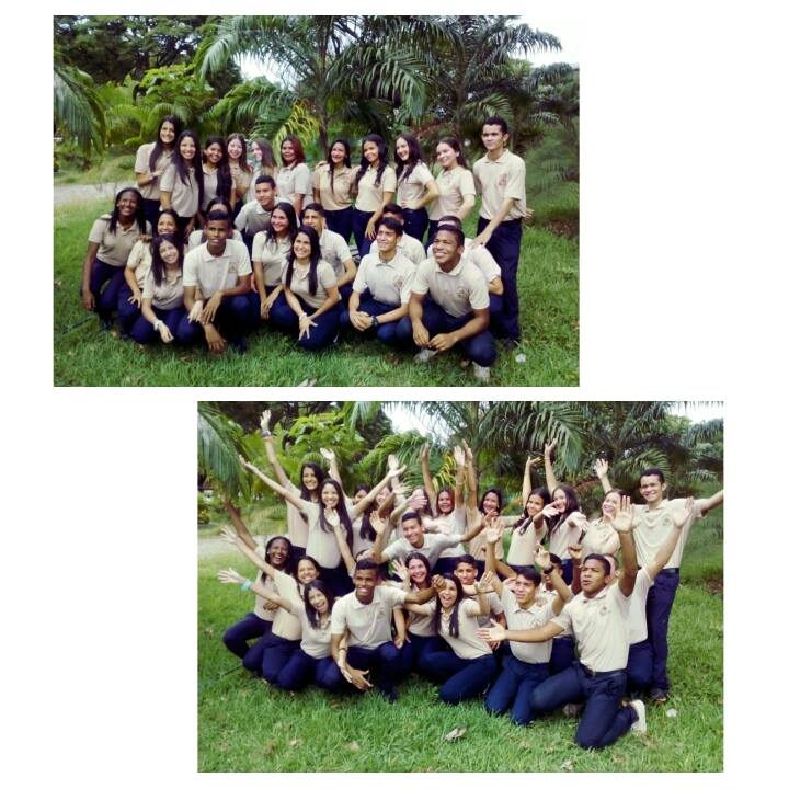
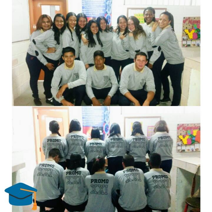
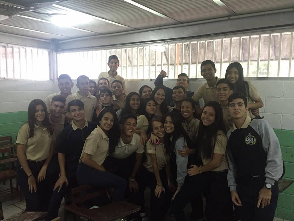
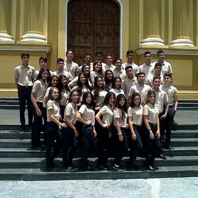
to people like these middle / upper middle class students from the eastern neighborhoods of the Caracas metropolitan area (900-1200 meters above the sea level), located in the state of Miranda (purple circle):
Last edited by alnortedelsur; 06-06-2023 at 04:11 PM.
My Updated 23andme Results (2021)
My Updated AncestryDNA Results (2022)
My Global25 Coordinates (2020)
An Epic Thread about me opened by Profield
Originally Posted by Profileid

| Thumbs Up |
| Received: 19,481 Given: 36,899 |
Holly Week procession, in Paracotos, a town of 14.000 inhabitants located in the south of the municipality of Guaicaipuro (within the blue circle in the first map, colored in pink in the second map). Even though the blue circle in the first map demarcates the area known as Los Altos Mirandinos Paracotos is not at a very high altitude, but just barely at 650 meters above the sea level, because it is located in a relatively low valley to the south of that Western mountainous region, close to the border with Aragua state.
First video is in 2015, and second video is on the same event but in 2016:
My Updated 23andme Results (2021)
My Updated AncestryDNA Results (2022)
My Global25 Coordinates (2020)
An Epic Thread about me opened by Profield
| Thumbs Up |
| Received: 19,481 Given: 36,899 |
This is just a re post from the old thread about Miranda state...
Funcionarios policiales de la parroquia Petare (mayormente clase baja) en el extremo este de Caracas (donde el circulo naranja y el circulo lila se solapan en el mapa del OP)
Police agents from the lower class neighborhood of Petare, east of the municipality of Sucre, in the very east of Caracas (in the relief map on the OP, where the orange circle and the purple circle overlap):
My Updated 23andme Results (2021)
My Updated AncestryDNA Results (2022)
My Global25 Coordinates (2020)
An Epic Thread about me opened by Profield
| Thumbs Up |
| Received: 19,481 Given: 36,899 |
La ciudad de Guarenas (capital del municipio Plaza. Ver mapa de municipios), situada dentro del círculo naranja del mapa arriba, es una ciudad dormitorio de Caracas, situada a solo unos 36 minutos por autopista al este de la misma (a unos 30 Kilometros de distancia). Es una pequeña ciudad industrial de mas de 200,000 habitantes, con un alto porcentaje de barrios pobres, aunque también algo de clase media. A pesar de su cercanía con Caracas, Guarenas (a 374 msnm) se encuentra a mucha menor altitud que Caracas (esta última se encuentra a una altitud de entre 900 y 1200 msnm).
Los siguientes dos videos (un poco off topic) dan un panorama general de la distribución social de Guarenas, donde se puede ver que también hay algo de clase media:
My Updated 23andme Results (2021)
My Updated AncestryDNA Results (2022)
My Global25 Coordinates (2020)
An Epic Thread about me opened by Profield
| Thumbs Up |
| Received: 19,481 Given: 36,899 |
Gente de Guarenas, estado Miranda. Los videos son largos, pero no hace falta verlos enteros, sino saltarlos de un lado a otro para darse una idea mas o menos completa del cuadro racial:
People from Guarenas, Miranda state. The videos are long, but not need to watch them entirely, but just jump from one part to another to get some general idea about the racial make up:
Corta produccion filmica mostrando principalmente los bajos fondos de Guarenas:
My Updated 23andme Results (2021)
My Updated AncestryDNA Results (2022)
My Global25 Coordinates (2020)
An Epic Thread about me opened by Profield
| Thumbs Up |
| Received: 19,481 Given: 36,899 |
Entrevistas a conductores en la carretera vieja entre Guarenas y Guatire. Guatire es otra ciudad dormitorio situada mas al este que Guarenas, y a unos 328 msnm, es decir, un pelin mas baja que Guarenas, y tambien se encuentra dentro del circulo naranja del mapa arriba:
My Updated 23andme Results (2021)
My Updated AncestryDNA Results (2022)
My Global25 Coordinates (2020)
An Epic Thread about me opened by Profield
| Thumbs Up |
| Received: 19,481 Given: 36,899 |
Gente de Guatire, capital del municipio Zamora, estado Miranda:
Reggaeton concerts in Guatire, Zamora municipality, Miranda state. Crappy music genre, but lots of people in the concerts, which can give a wide idea about the range of looks among people from Guatire (and visitors):
My Updated 23andme Results (2021)
My Updated AncestryDNA Results (2022)
My Global25 Coordinates (2020)
An Epic Thread about me opened by Profield
| Thumbs Up |
| Received: 19,481 Given: 36,899 |
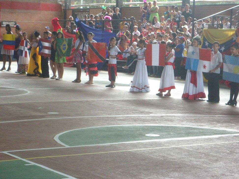
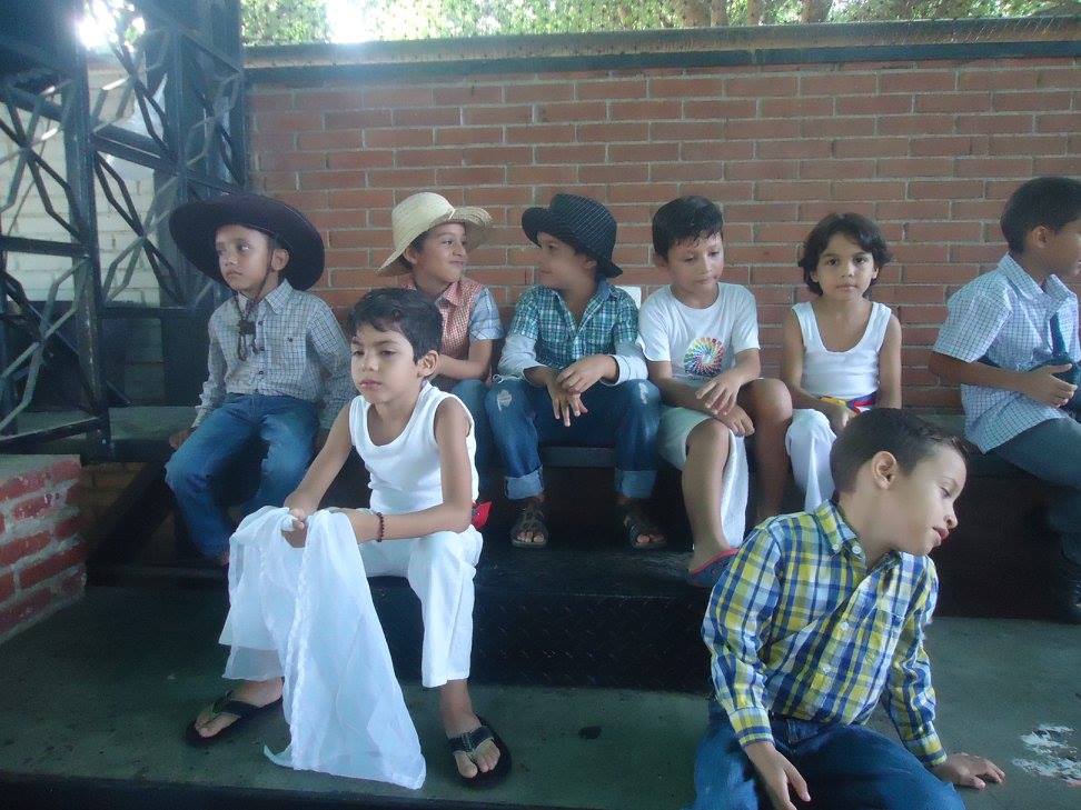
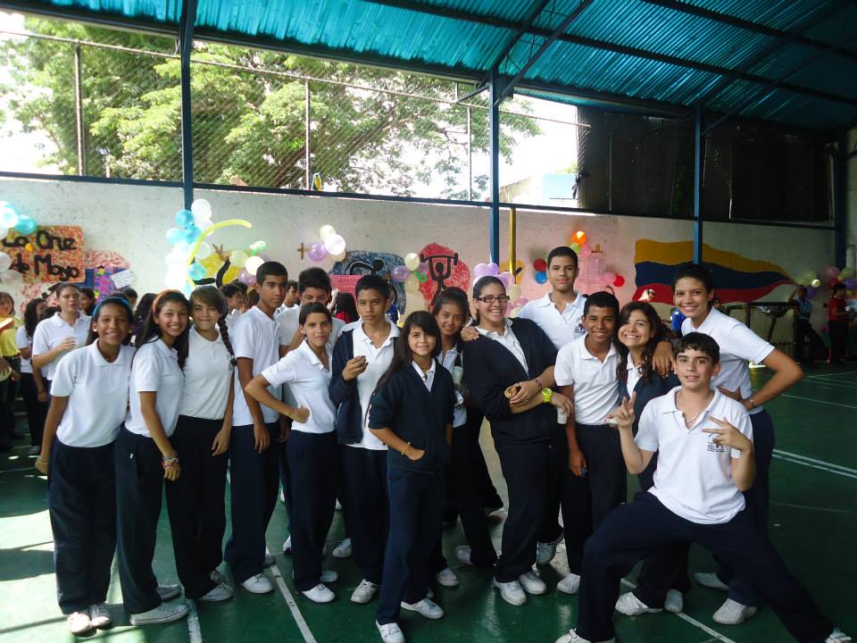
Primary school and high school students from Charallave, municipality of Cristobal Rojas (see map of municipalities), in the gray circle on first map (area of Tuy Valley):
As I said in the OP, the Tuy Valley Area, like these pics from Charallave (into grey circle on first map), and the Guarenas-Guatire axis (orange circle) are areas where the population is mostly a triracial/mestizo mix (like great part of Venezuela), but somewhat more leaning towards triracial, with some more griffe individuals here and there, and in general, some more SSA admixture, on average, than the Venezuelan average, but of course way less African compared to Barlovento (the lowland depression on the very east of the state, corresponding with the black circle on the first map).
Last edited by alnortedelsur; 06-09-2023 at 10:49 PM.
My Updated 23andme Results (2021)
My Updated AncestryDNA Results (2022)
My Global25 Coordinates (2020)
An Epic Thread about me opened by Profield
| Thumbs Up |
| Received: 19,481 Given: 36,899 |
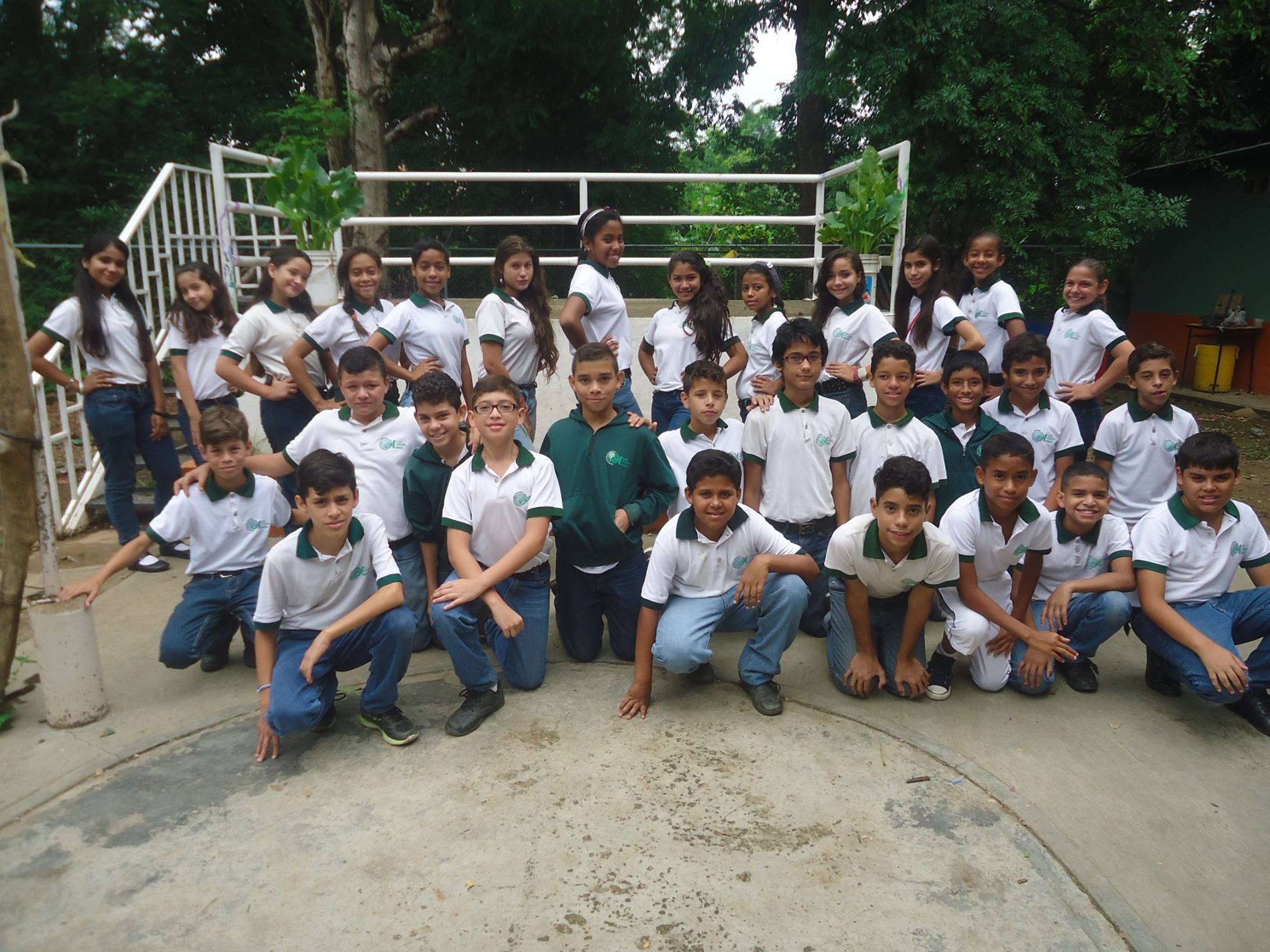
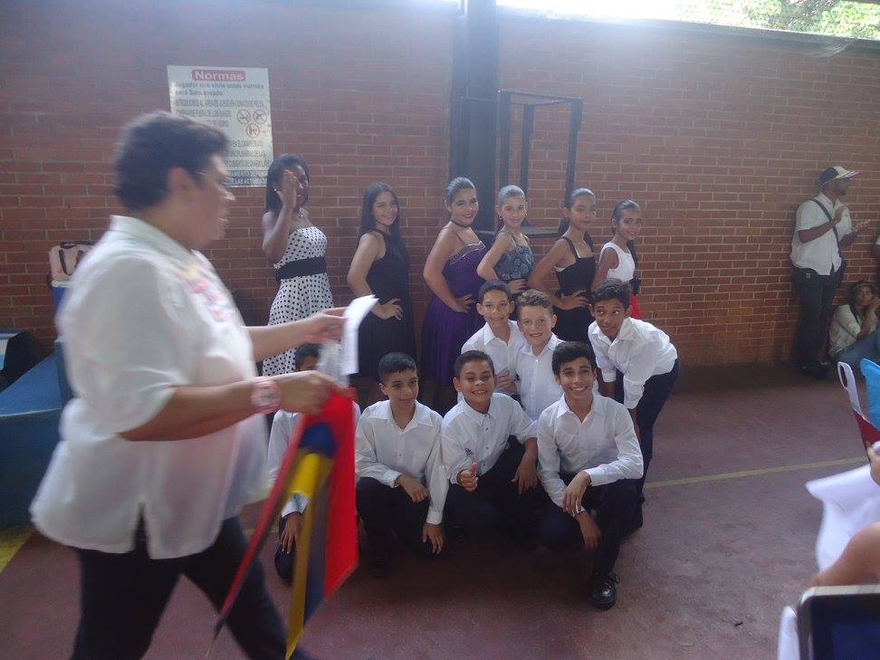
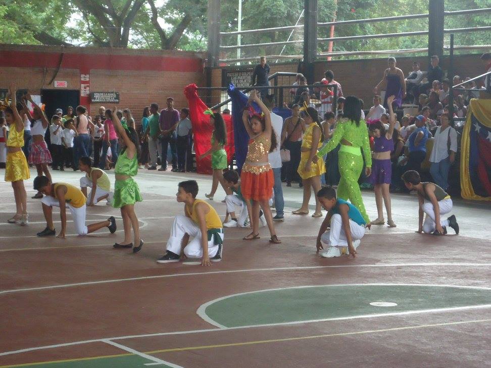
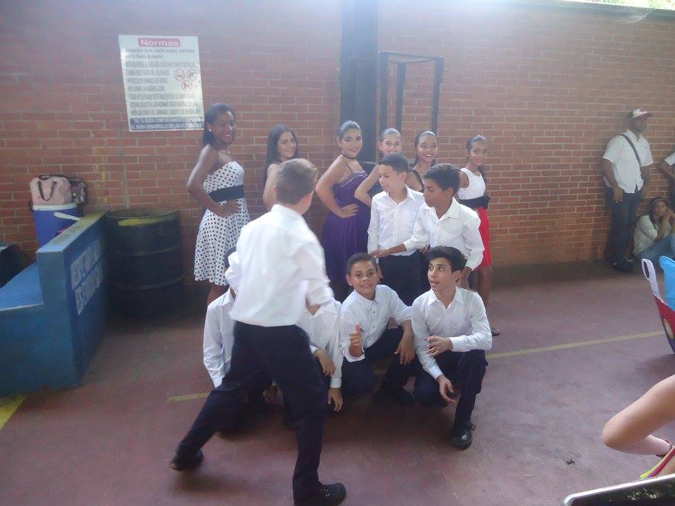
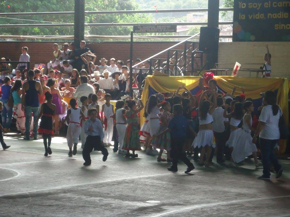
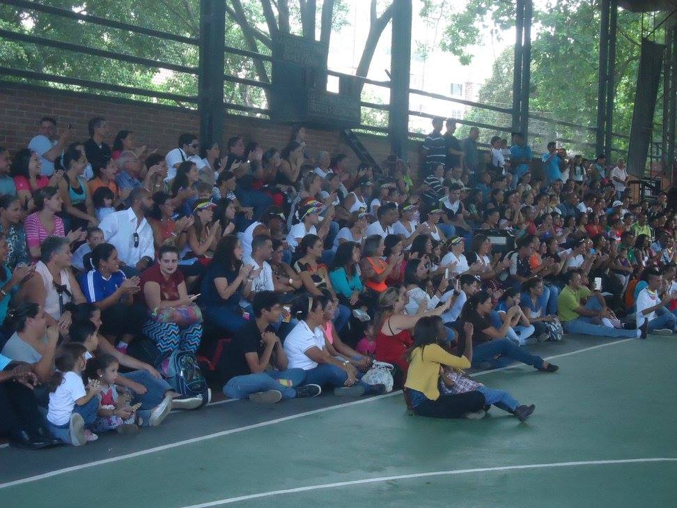
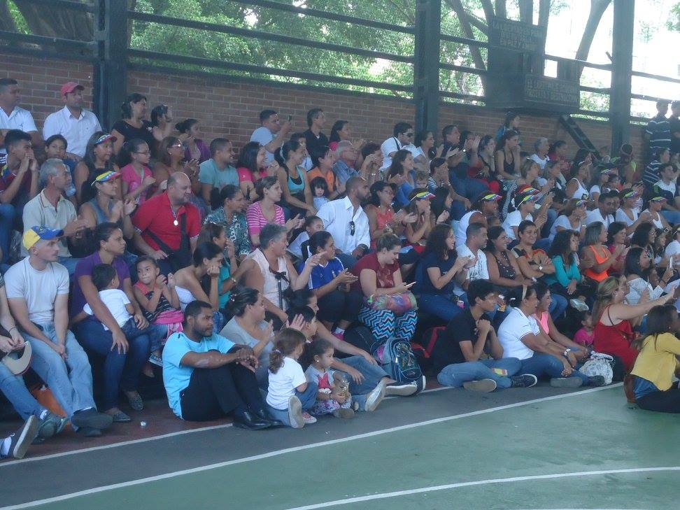
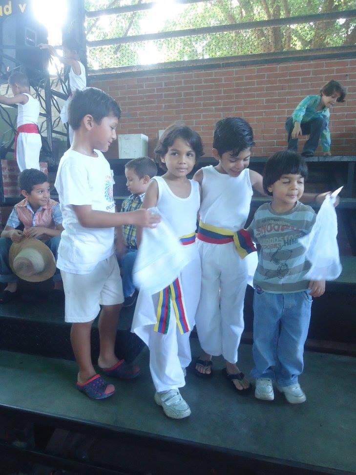
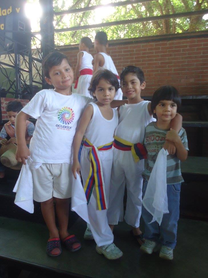
More kids and high school students from Charallave, municipality of Cristobal Rojas, Miranda state:
My Updated 23andme Results (2021)
My Updated AncestryDNA Results (2022)
My Global25 Coordinates (2020)
An Epic Thread about me opened by Profield
| Thumbs Up |
| Received: 19,481 Given: 36,899 |
------------------------------------------------------
My Updated 23andme Results (2021)
My Updated AncestryDNA Results (2022)
My Global25 Coordinates (2020)
An Epic Thread about me opened by Profield
There are currently 1 users browsing this thread. (0 members and 1 guests)
 Latin America
Latin America
Latin America
Latin America
Latin America
Latin America
Latin America
Latin America
Latin America
 Posting Permissions


 Reply With Quote
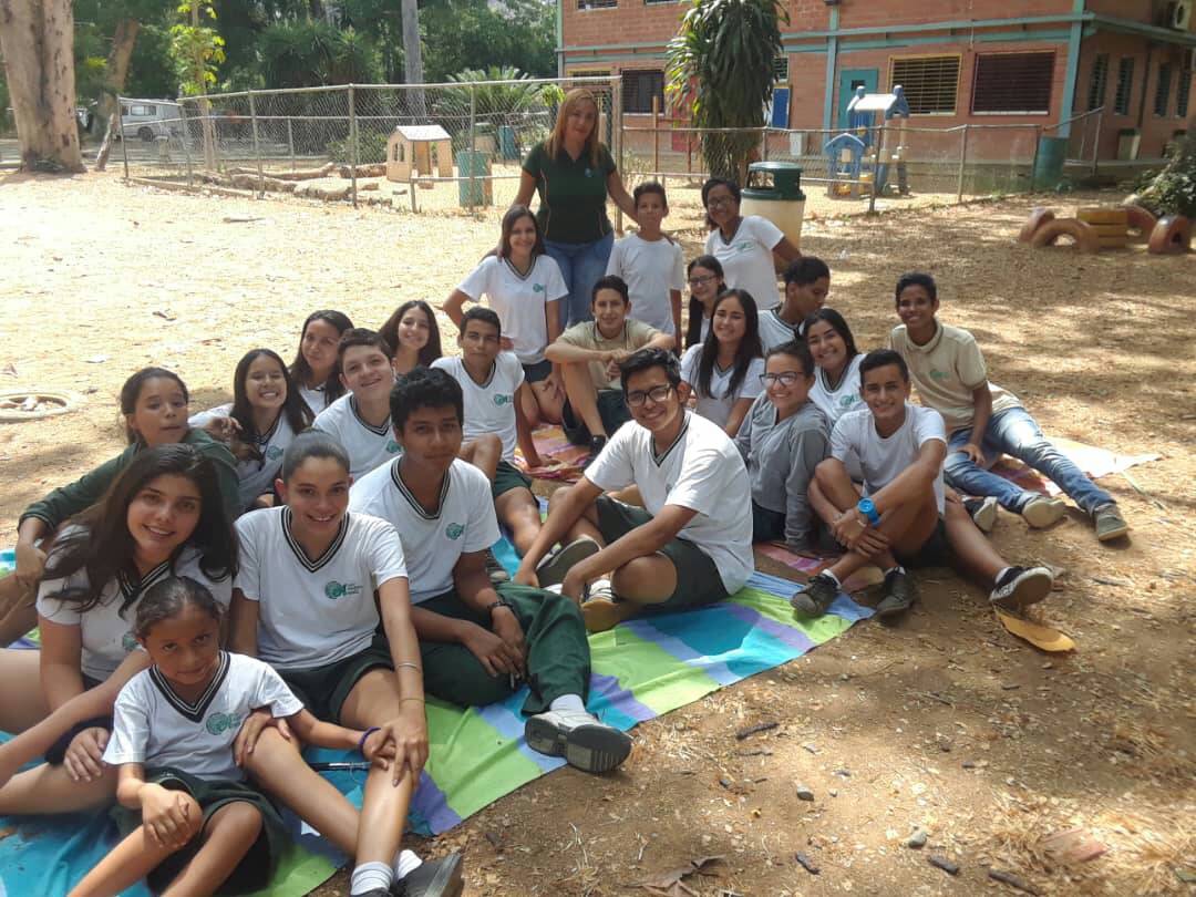


Bookmarks