


0


| Thumbs Up |
| Received: 19,512 Given: 36,957 |
Same as I just did with Miranda state, and I will do with those threads where I posted too many pages of pics without spoilers, I'm remaking this thread to make it more readable than the previous version, and I will do the same with the threads of the states Aragua and Carabobo for that same reason. For now, I will just copy and paste all posts from the previous version, but putting the pics in spoilers. And then, I will continue with some other educational institutions from Libertador Municipality that haven't posted so far...
The Libertador Municipality (Municipio Libertador in Spanish) is the only administrative division of the Capital District. With a population of roughly 2.1 million inhabitants, a surface are of 433 square kilometers, and at an average altitude of 909 meters above sea level, the Libertador municipality occupies roughly the western half of the city of Caracas plus some rural mountain areas on the west, including the mountain town of El Junquito (1700 meters above sea level). This Capital district, along with the 4 municipalites of eastern Caracas that belong to Miranda state (Sucre, Chacao, El Hatillo and Baruta) conform the Caracas Metropolitan District (Distrito Metropolitano de Caracas).
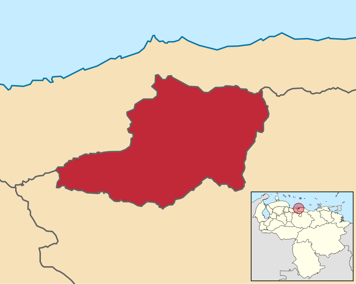
Location of Libertador Municipality (main map showing its location between Vargas (or La Guaira) state in the north and Miranda state in the east and south, and small map showing its location within Venezuela on the bottom right):
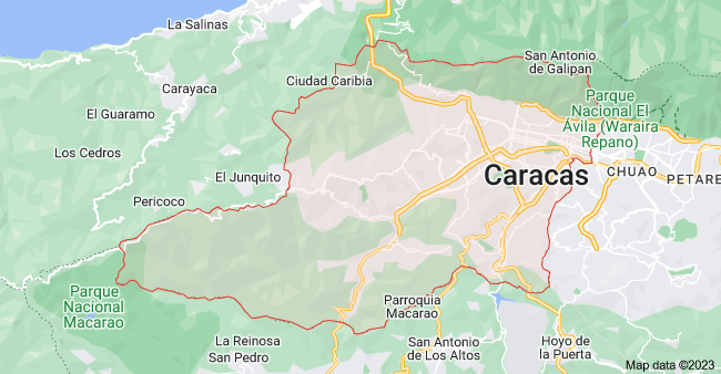
Another more detailed map showing how it roughly occupies the western half of Caracas, some mountainous areas to the west up to the town of El Junquito and the Macarao National park (in the SW), and the southern outskirts of the mountains (El Avila National Park) that separate Caracas from the Caribbean sea:
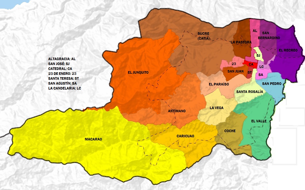
Map showing the different parishes of Libertador Municipality (Capital District), which I will mention when posting pics and videos:
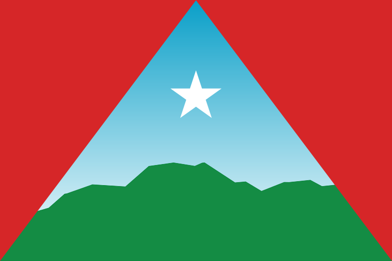
Flag of the Capital District:
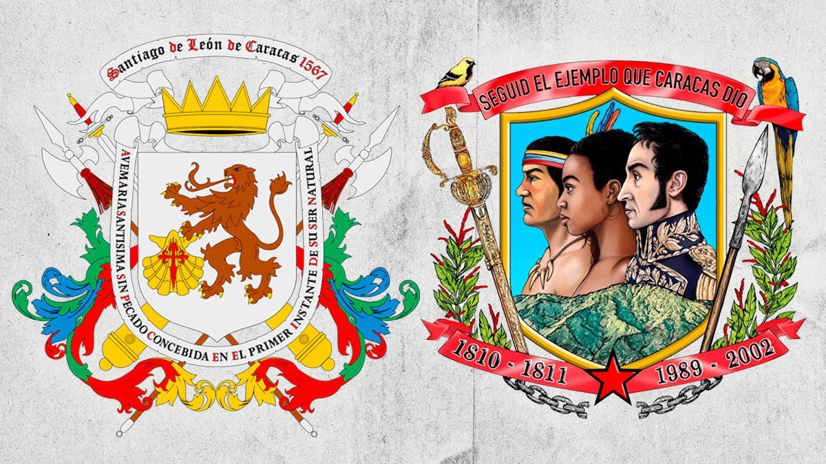
Coat of Arms that it always had since colonial times (and it should have kept it always like that) on the left, Vs the stupid coat of Arms (made in this stupid revolution) that it has since 2022 to present:
They changed the previous coat of arms and the anthem too
While most of eastern Caracas (excluding the slum of Petare and some few other smaller slums) is full of middle to upper class neighborhoods, the Libertador Municipality has less upper middle and upper class areas. It has financial areas full of high rises, the historical center, many poor slums (barriadas), but also many middle class, and lower middle class neighborhoods.
Resuming: while most of eastern Caracas (excluding Petare and some smaller slums) is middle to upper class, western Caracas (Libertador municipality) is mostly middle to lower class. I mean, it has many middle class areas, and even some few upper-middle to upper class areas, but it has less rich and exclusive areas and some more poorer areas compared to eastern Caracas.
Pics and Videos coming up on next posts...
My Updated 23andme Results (2021)
My Updated AncestryDNA Results (2022)
My Global25 Coordinates (2020)
An Epic Thread about me opened by Profield
Originally Posted by Profileid

| Thumbs Up |
| Received: 19,512 Given: 36,957 |
Localizacion de Parroquia Caricuao dentro del municipio Libertador (Distrito Capital), en la esquina mas al suroeste de toda la ciudad de Caracas:
Location Caricuao Parish within the Capital District (Libertador Municipality), in the very southwest of Caracas:
Altitud promedio: 1000 msnm
Poblacion: 248,200 hab
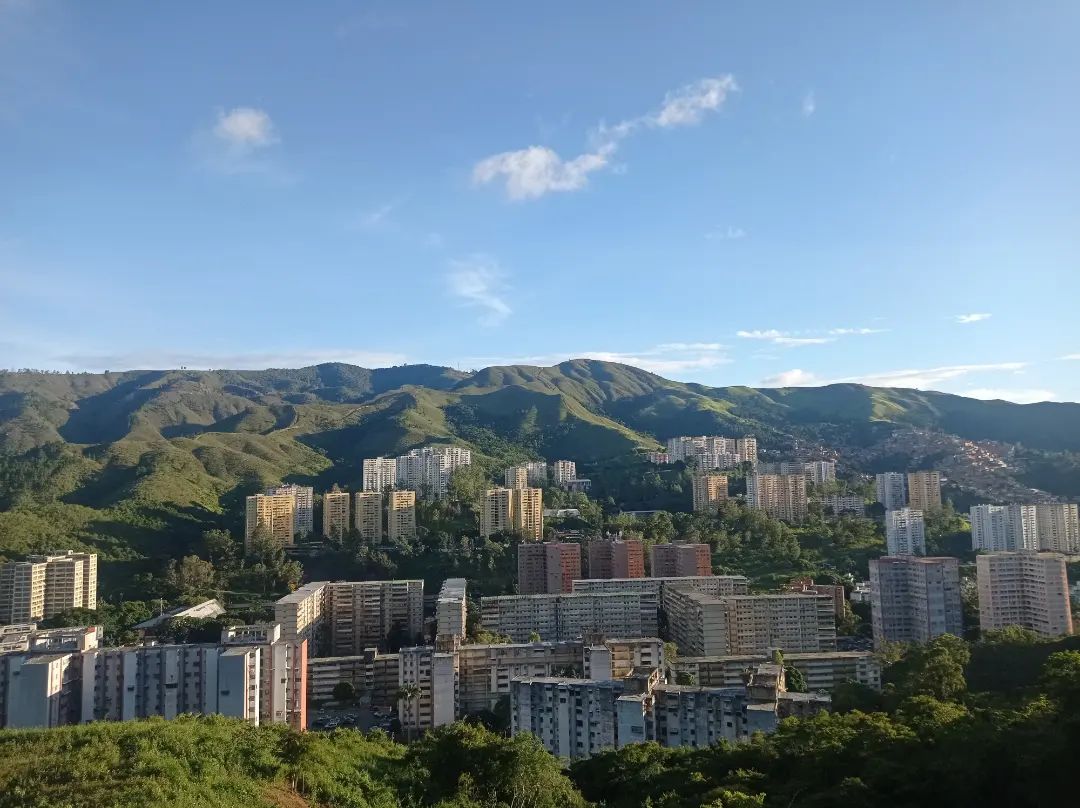
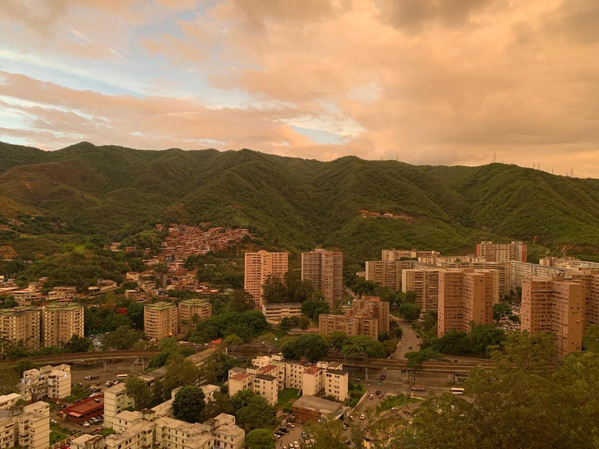
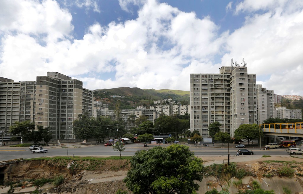
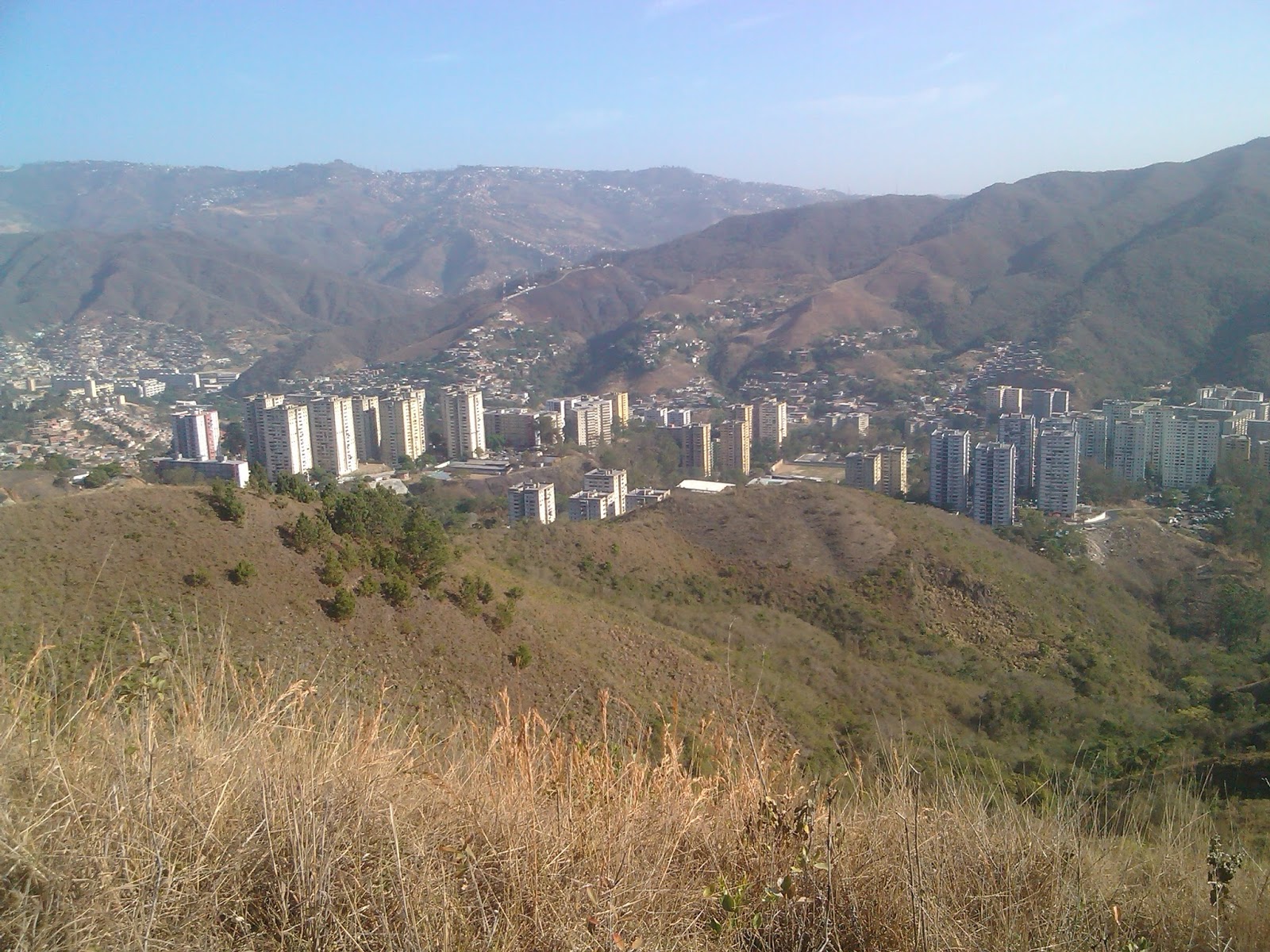
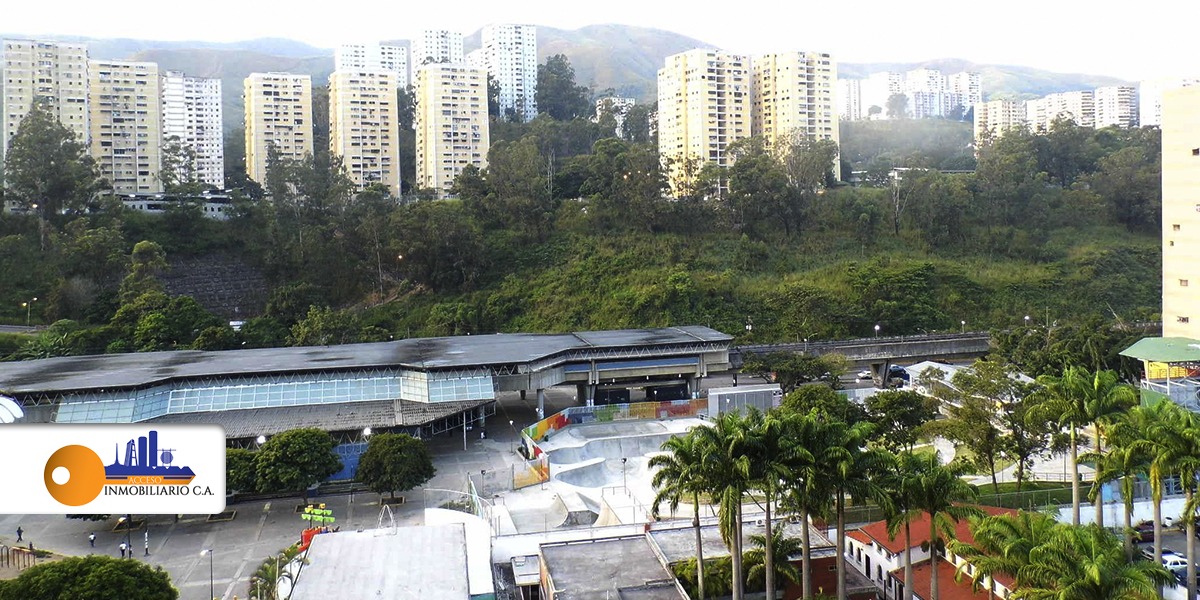
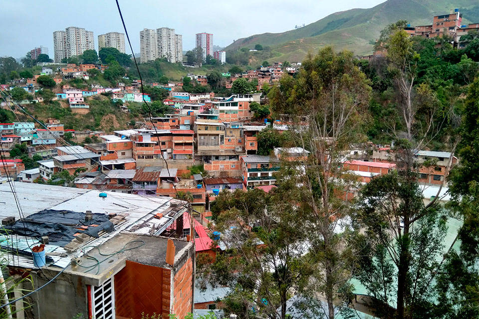
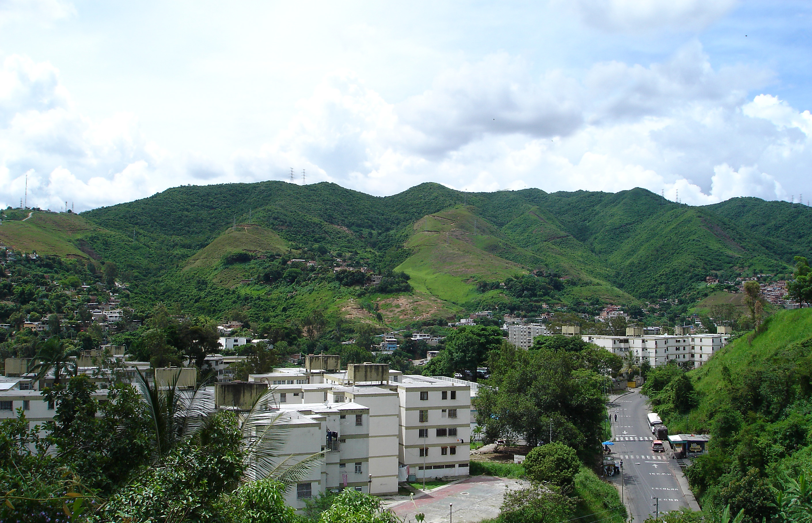
La parroquia Caricuao es diria yo, no de las mas pobres de Caracas, pero tampoco de clase media-media, sino mas bien una mezcla de clase obrera/media baja y de clase baja. Bloques de apartamentos (de clase media baja) de aspecto parecido a los bloques de apartamentos de algun pais comunista, con ropas tendidas en las ventanas y cosas por el estilo, son lo que caracteriza el paisaje urbano de buena parte de esta Parroquia Caraqueña, aunque hacia el suroeste de la misma hay una zona mas pobre de ranchos (favelas), y de paso tiene cerca otras barriadas pobres de ranchos (favelas), como Mamera, Antimano y Carapita, hacia el norte de la misma, que no son parte de Caricuao, pero solo mencionar que tiene esas favelas ahi, muy cerca, sin mencionar la otra (barriada) favela que ya he mencionado, que esta hacia el suroeste de esa misma parroquia.
Para que entendais el entorno social del Liceo (no se si es publico o privado) del que voy a postear varias tandas de fotos en los siguientes posts, estos son algunas fotos de Caricuao y su entorno paisajistico:
Fotos escolares de esta parroquia en los siguientes posts...
My Updated 23andme Results (2021)
My Updated AncestryDNA Results (2022)
My Global25 Coordinates (2020)
An Epic Thread about me opened by Profield
| Thumbs Up |
| Received: 19,512 Given: 36,957 |
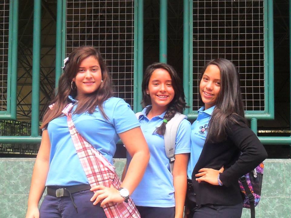
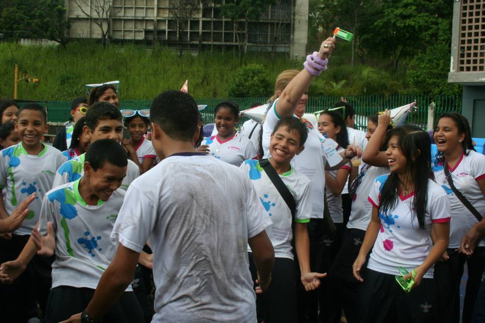
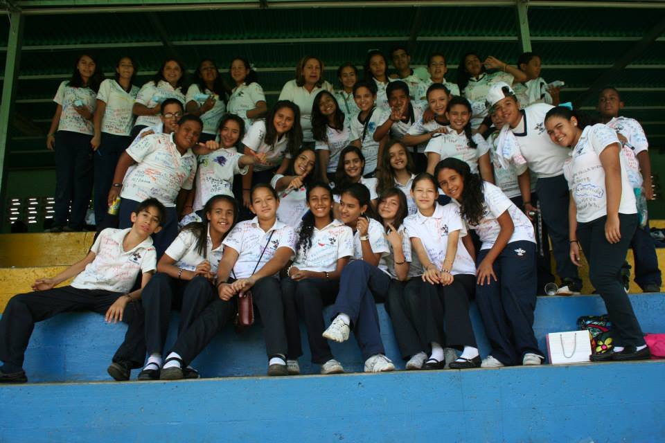
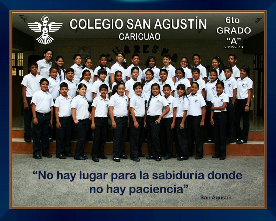
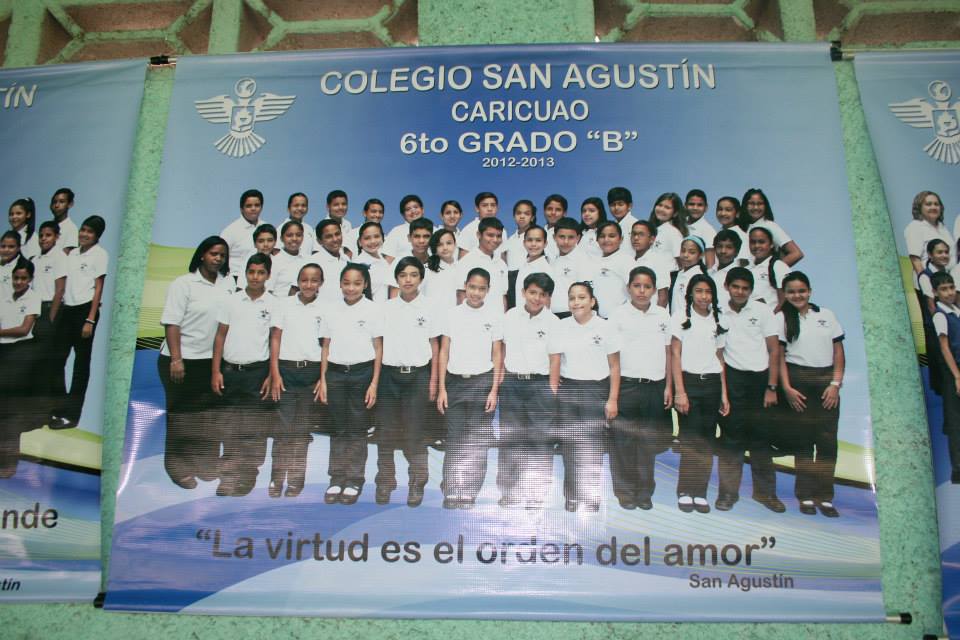
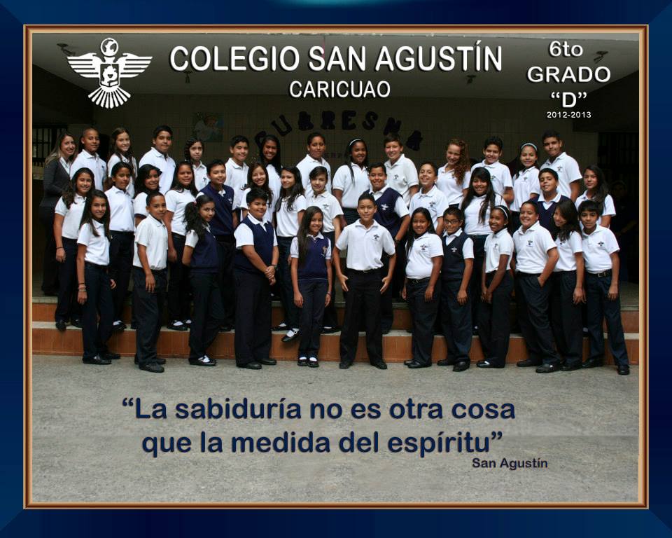
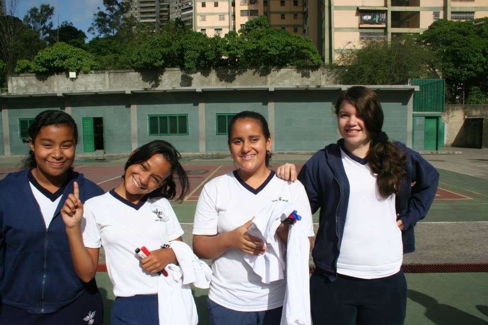
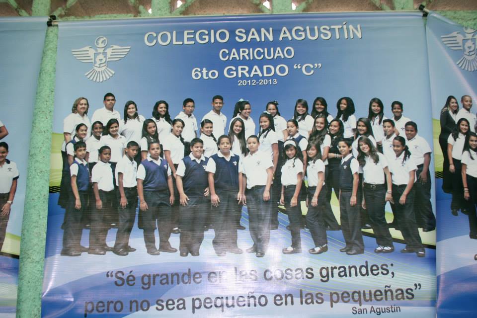
Liceo San Agustin, en la parroquia Caricuao, en la esquina mas al suroeste de Caracas.
High school San Agustin, in Caricuao Parish, in the very southwest of Libertador Municipality (Capital District) and the entire Caracas Metropolitan area:
Spoiler!
My Updated 23andme Results (2021)
My Updated AncestryDNA Results (2022)
My Global25 Coordinates (2020)
An Epic Thread about me opened by Profield
| Thumbs Up |
| Received: 19,512 Given: 36,957 |
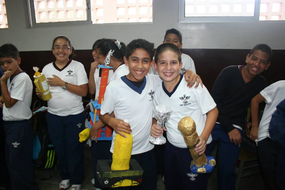
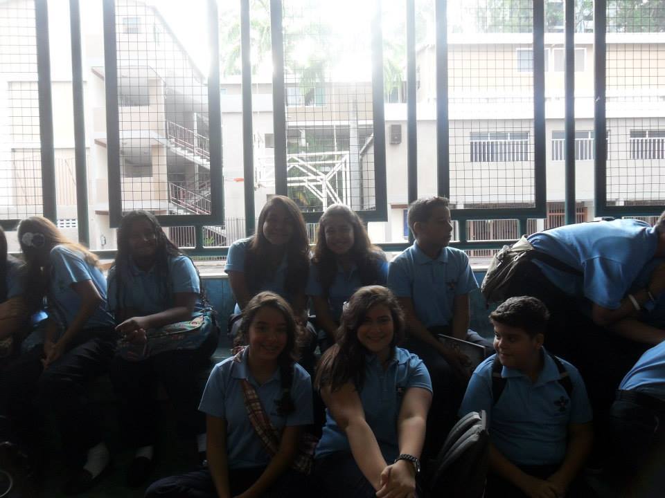
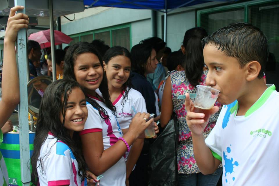
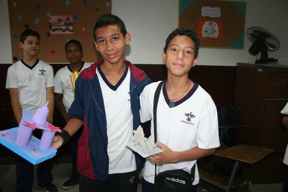
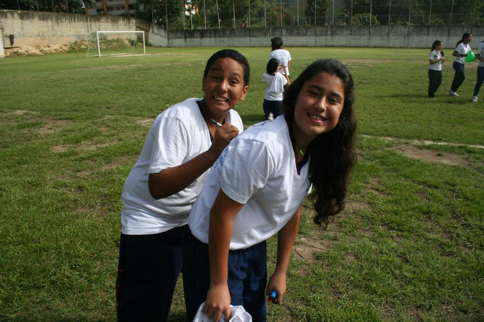
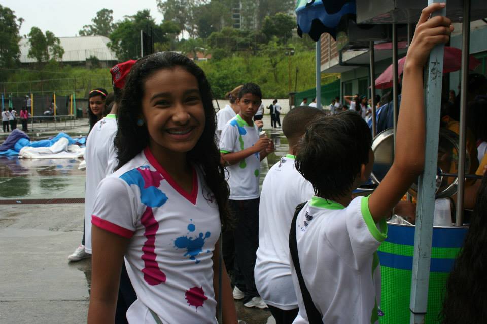
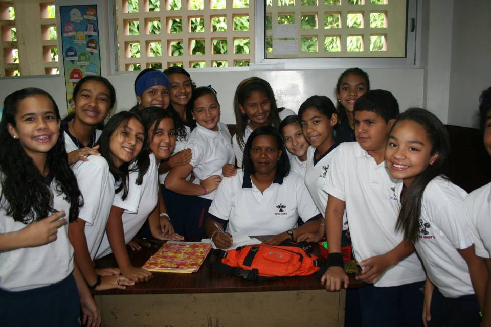
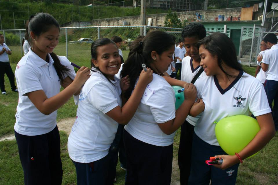
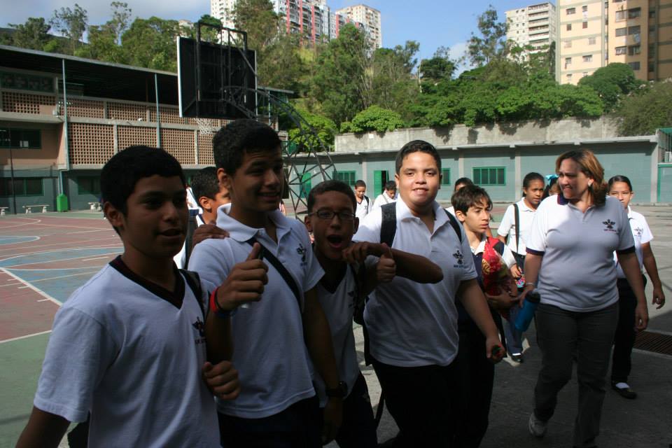
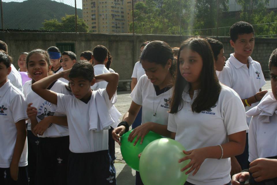
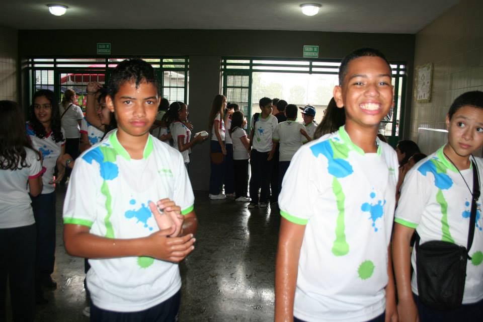
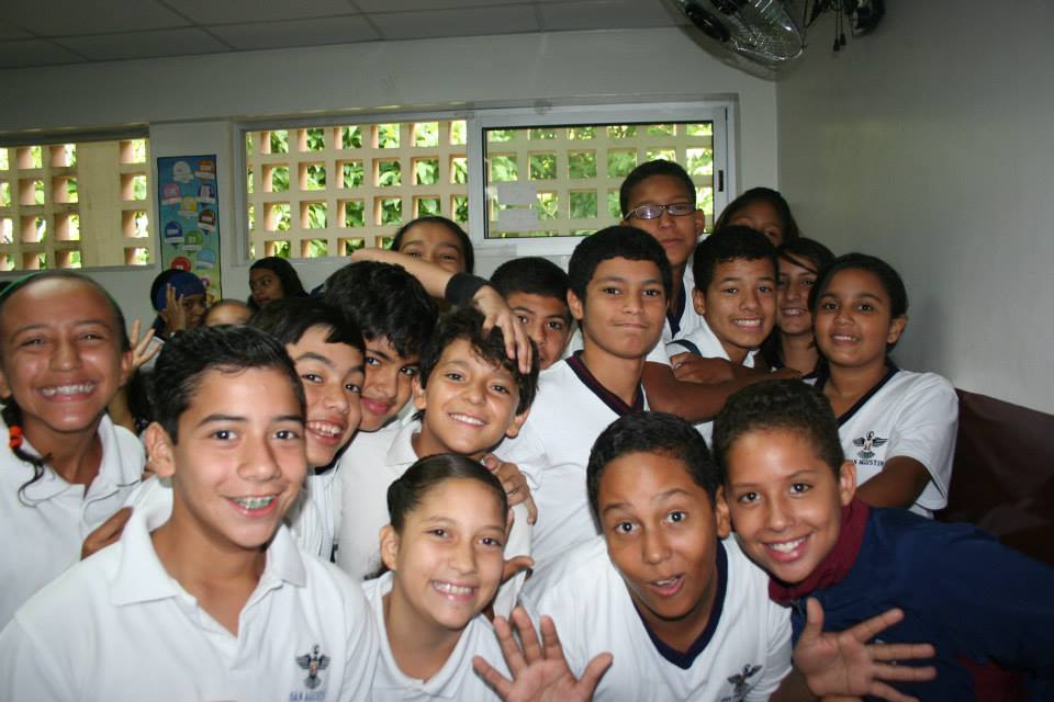
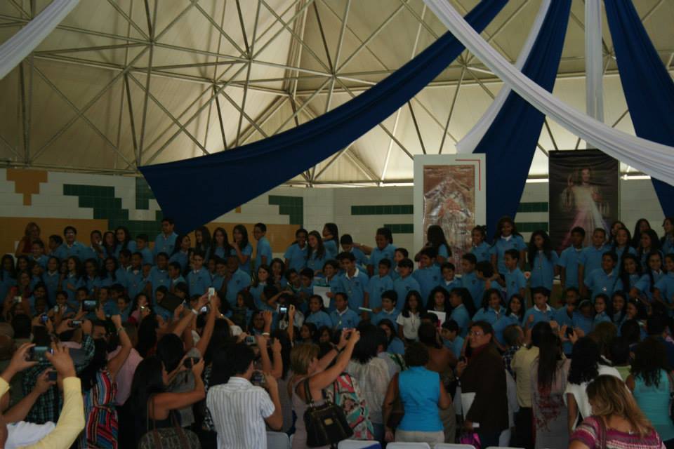
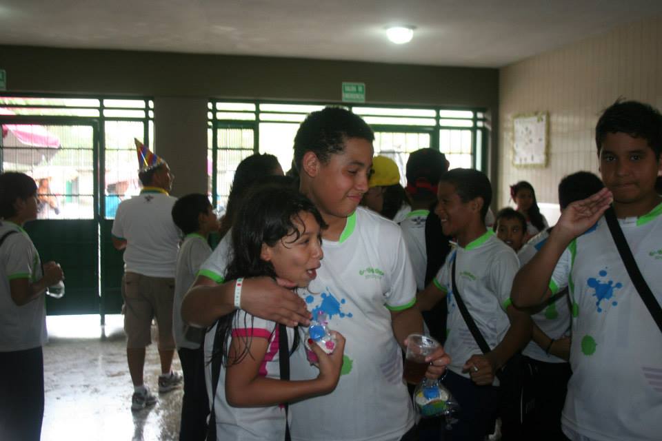
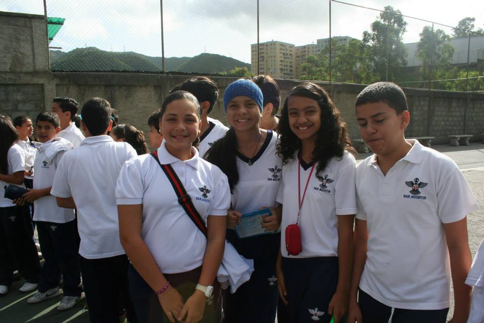
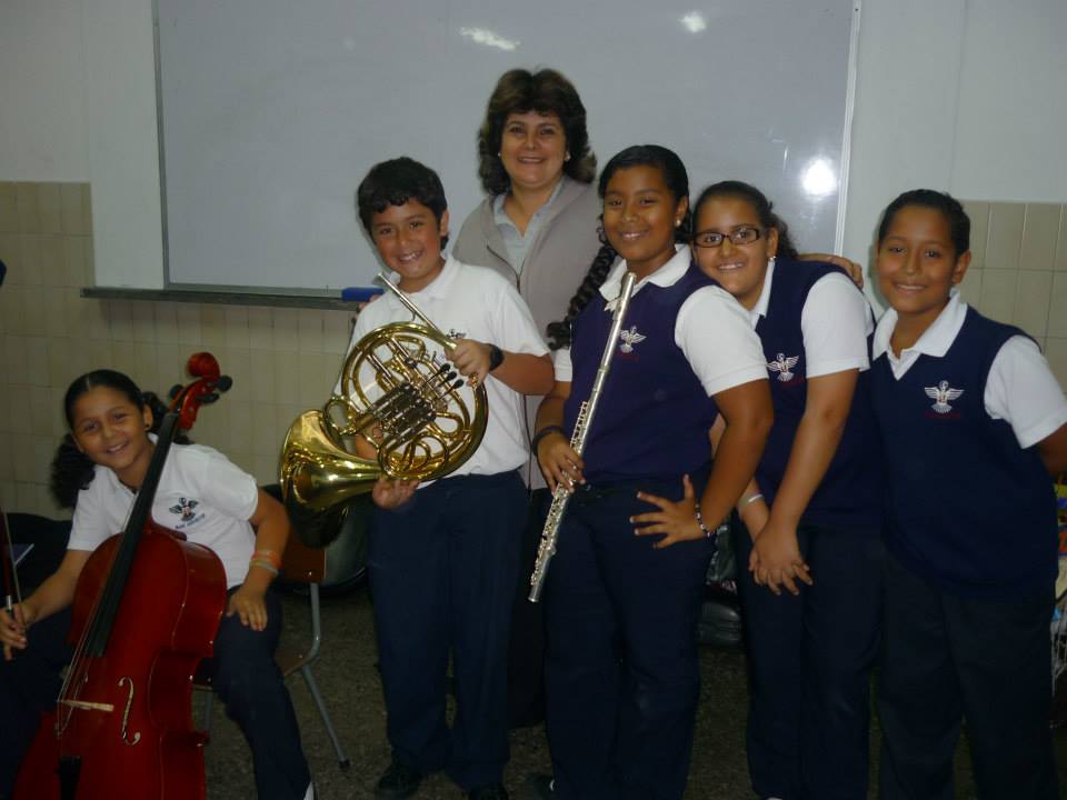
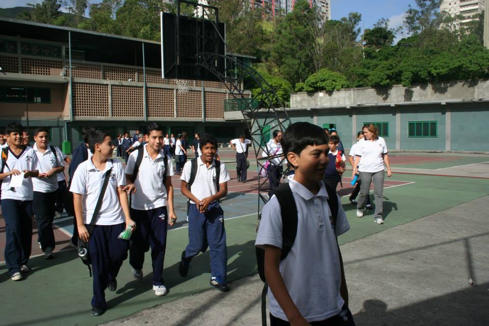
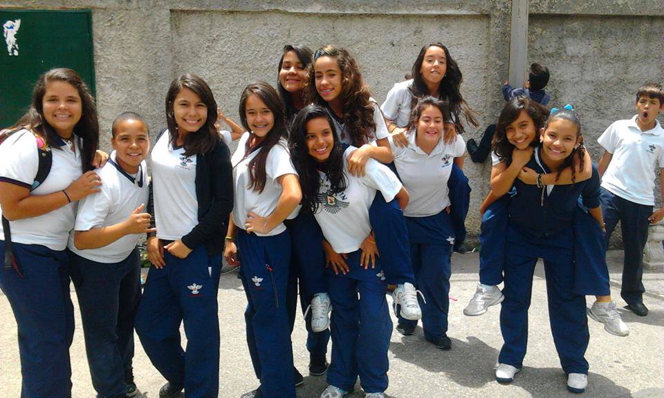
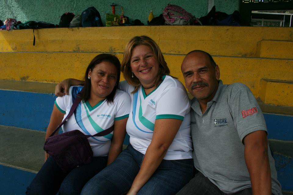
More pics from the high school San Agustin, in Caricuao parish, Capital District:
Spoiler!
My Updated 23andme Results (2021)
My Updated AncestryDNA Results (2022)
My Global25 Coordinates (2020)
An Epic Thread about me opened by Profield
| Thumbs Up |
| Received: 19,512 Given: 36,957 |
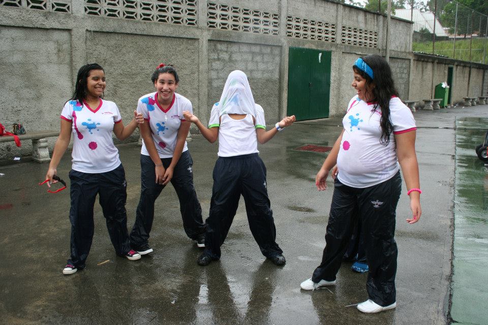
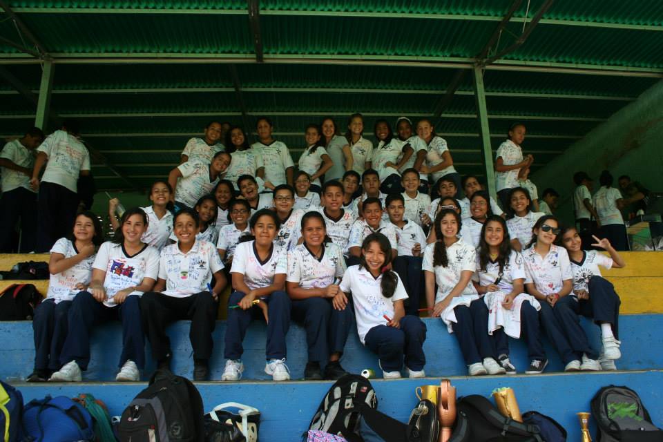
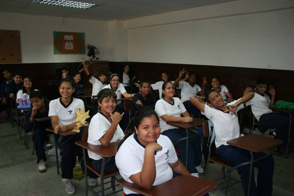
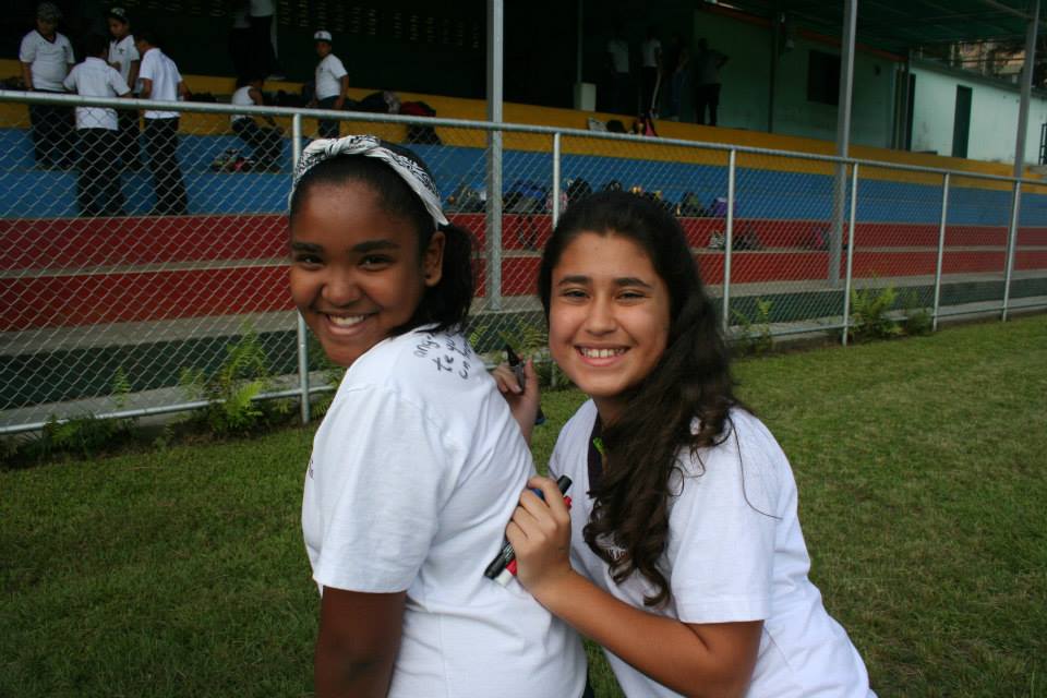
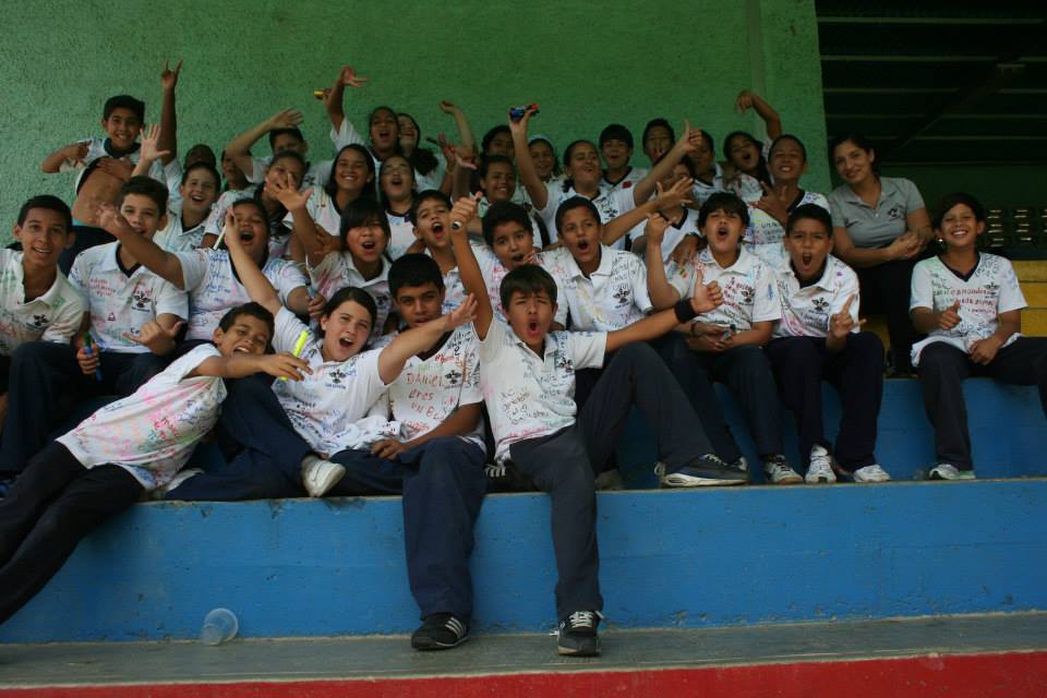
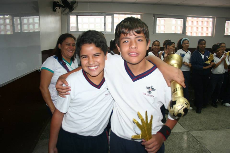
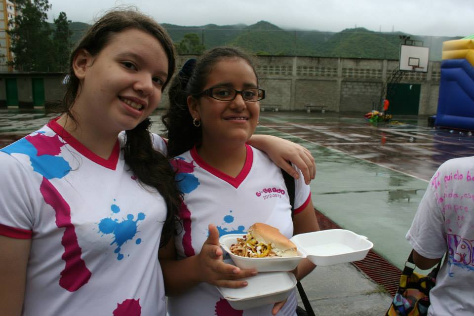
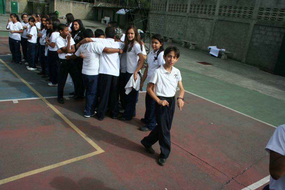
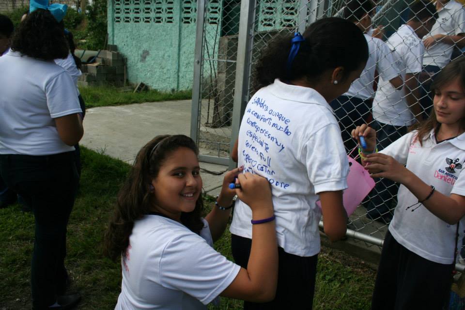
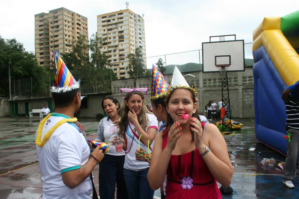
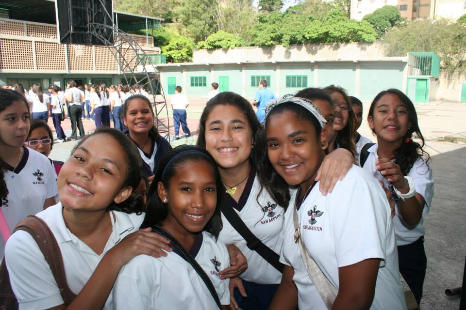
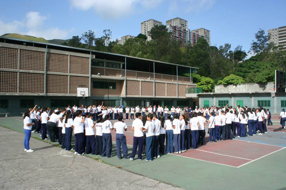
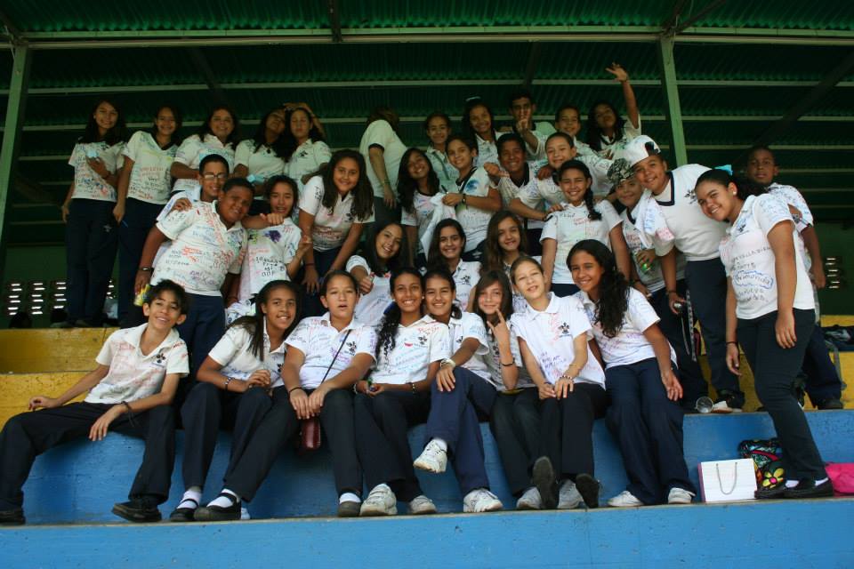
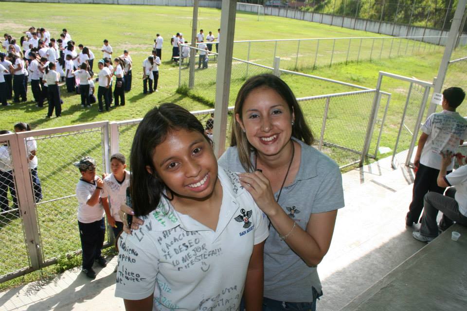
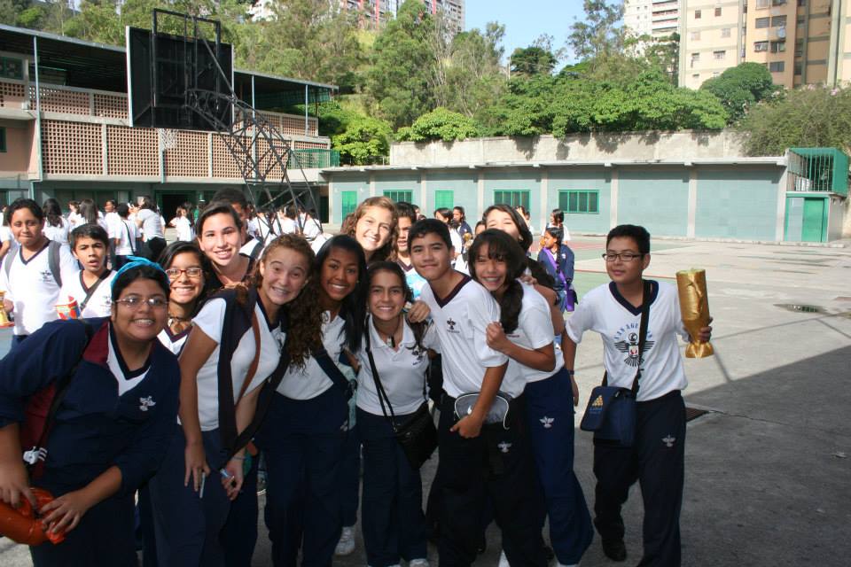
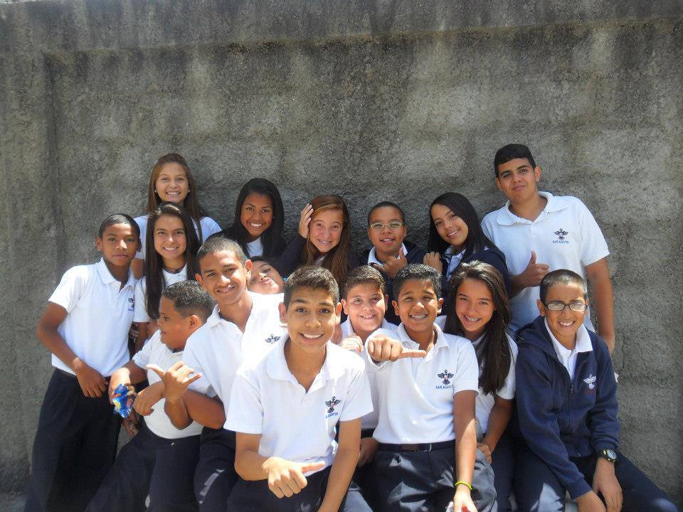
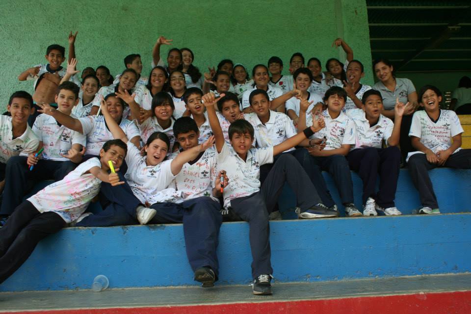
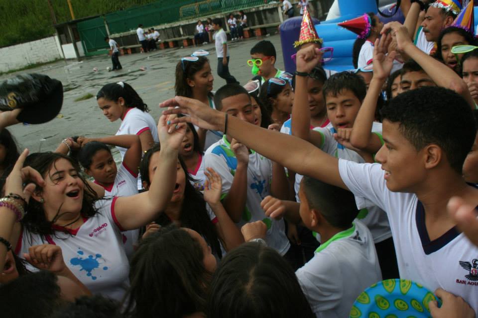
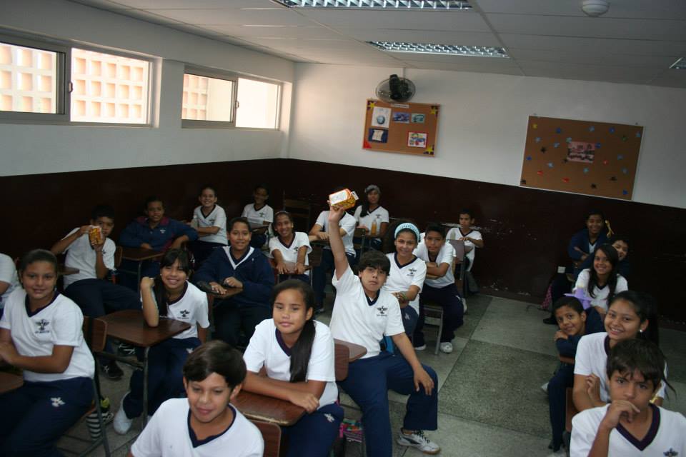
More pics of same high school (San Agustin) in Caricuao:
Spoiler!
Spoiler!
My Updated 23andme Results (2021)
My Updated AncestryDNA Results (2022)
My Global25 Coordinates (2020)
An Epic Thread about me opened by Profield
| Thumbs Up |
| Received: 19,512 Given: 36,957 |
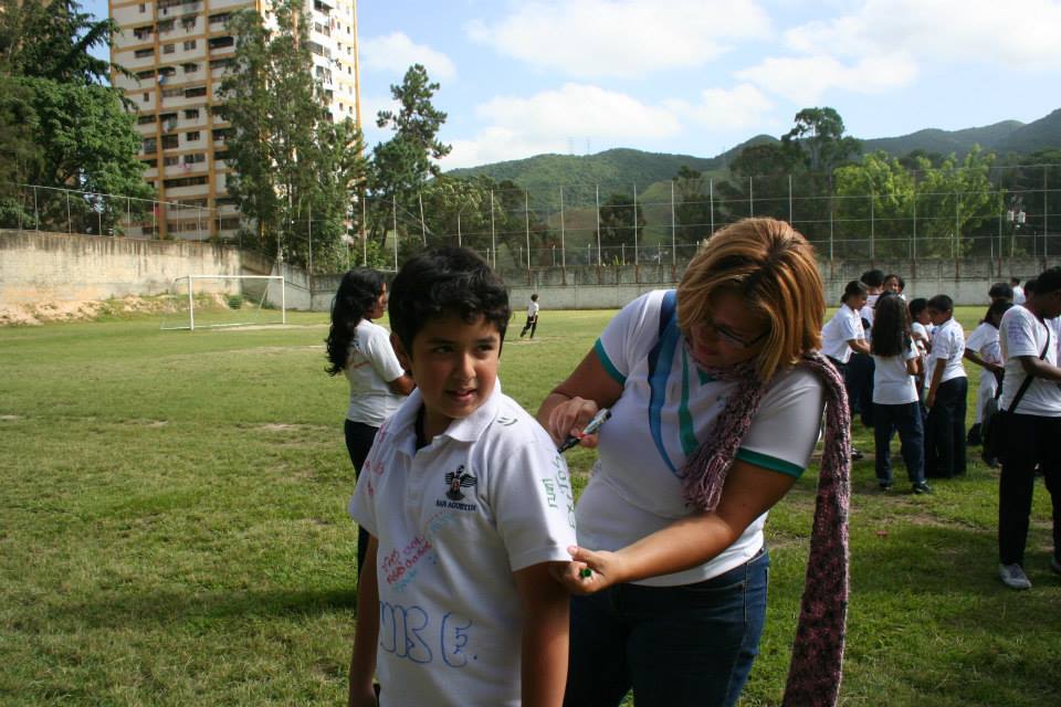
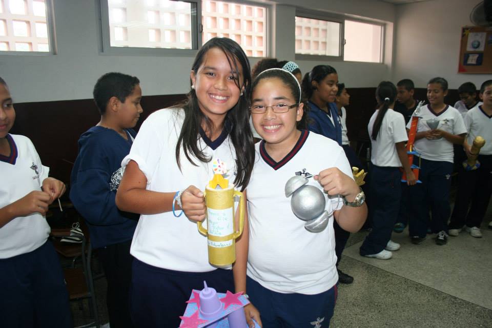
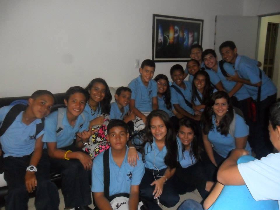
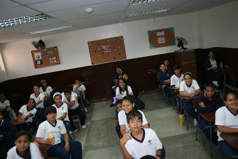
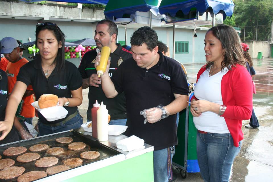
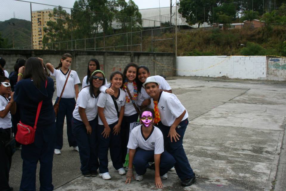
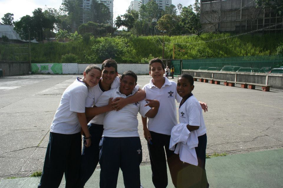
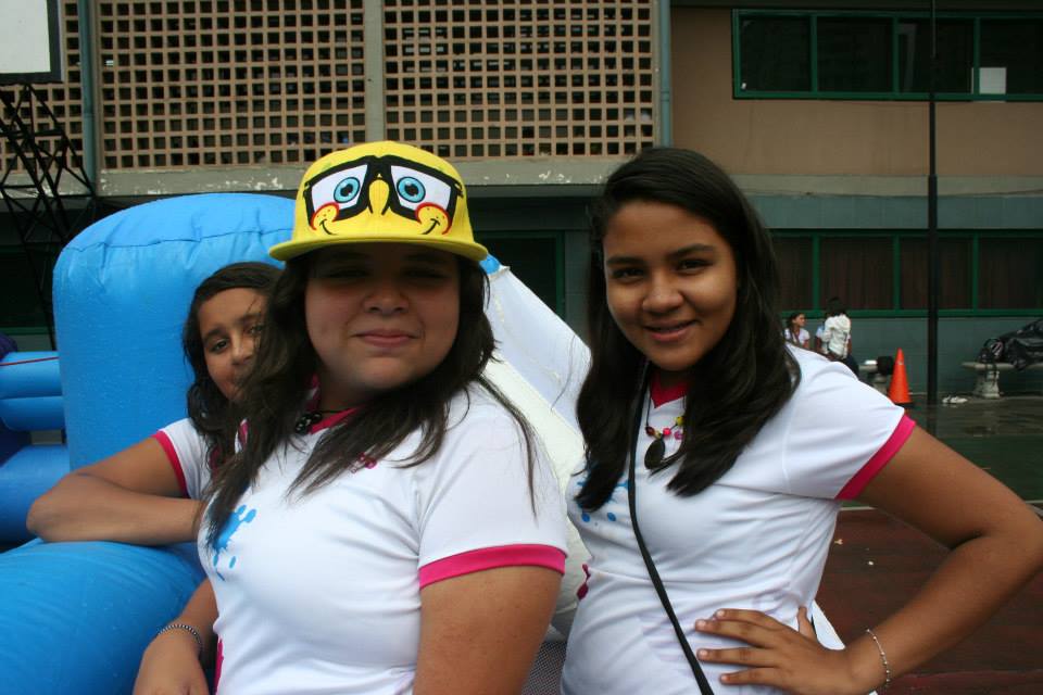
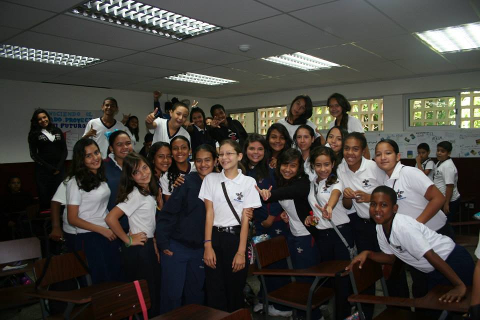
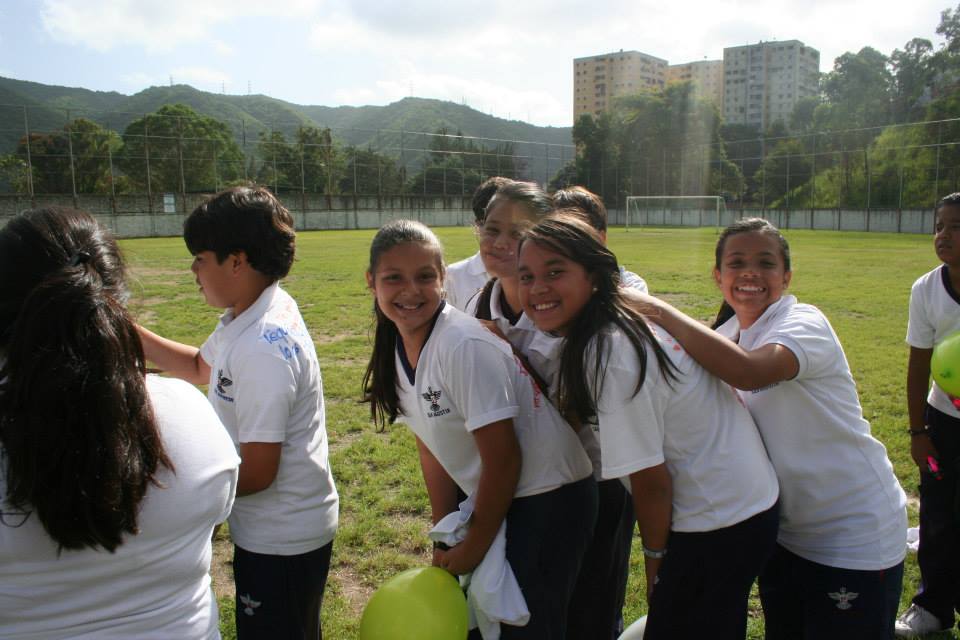
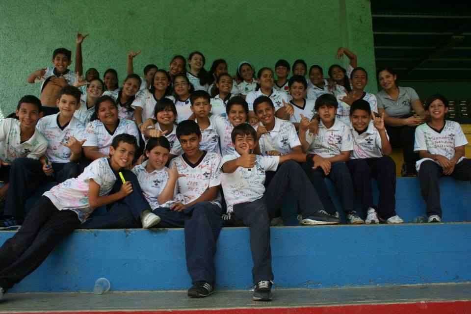
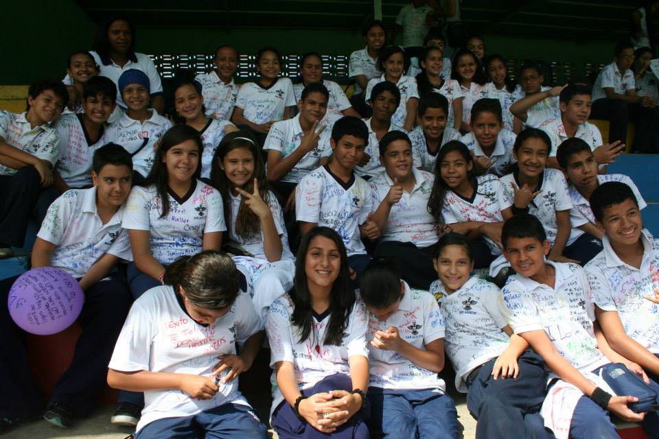
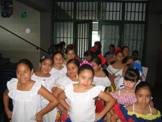
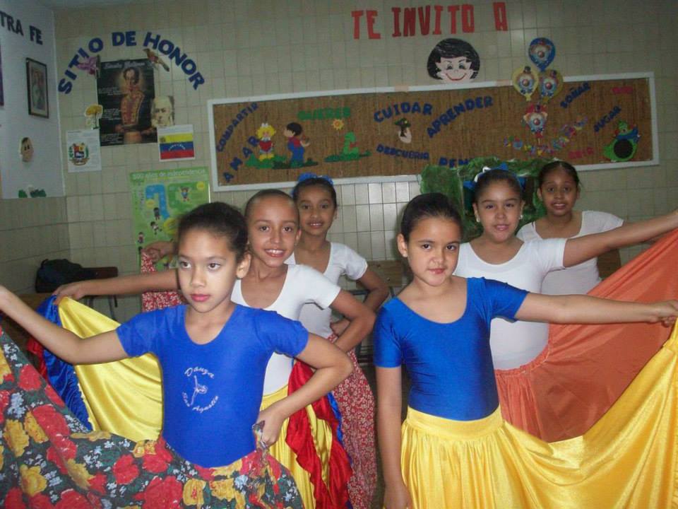
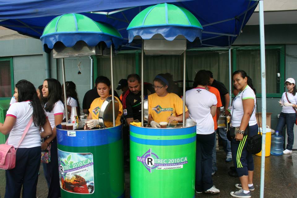
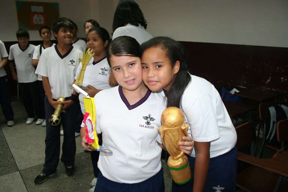
Continuando con el mismo colegio (San Agustin) en Caricuao, parroquia clase media baja (aunque tambien con algunas favelas), localizada al suroeste del municipio Libertador y de toda la ciudad de Caracas:
Spoiler!
My Updated 23andme Results (2021)
My Updated AncestryDNA Results (2022)
My Global25 Coordinates (2020)
An Epic Thread about me opened by Profield
| Thumbs Up |
| Received: 19,512 Given: 36,957 |
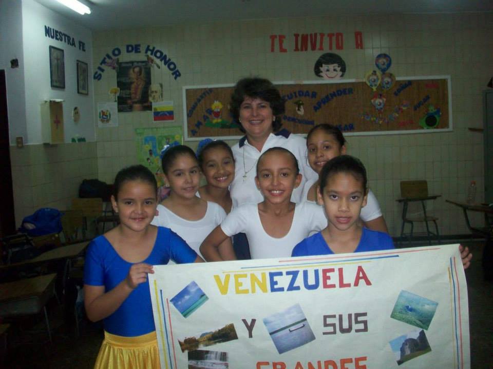
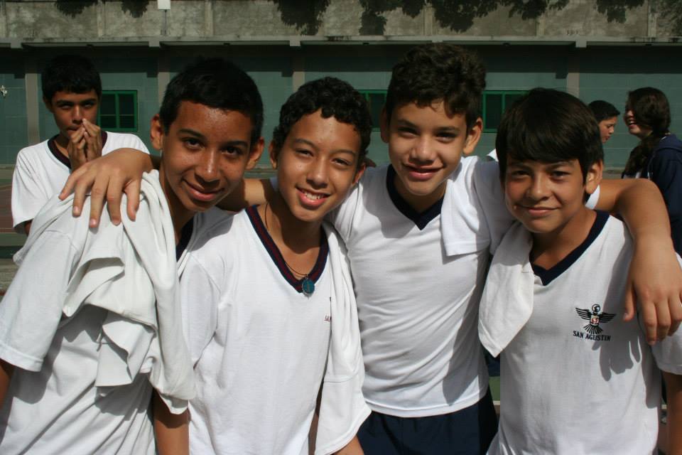
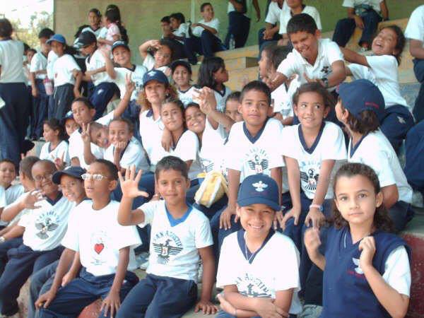
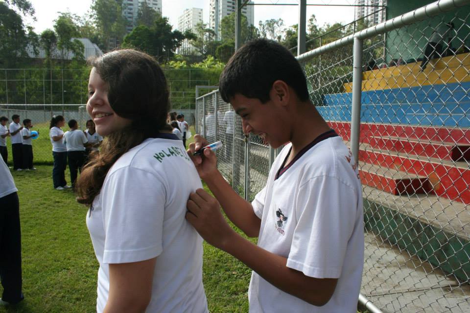
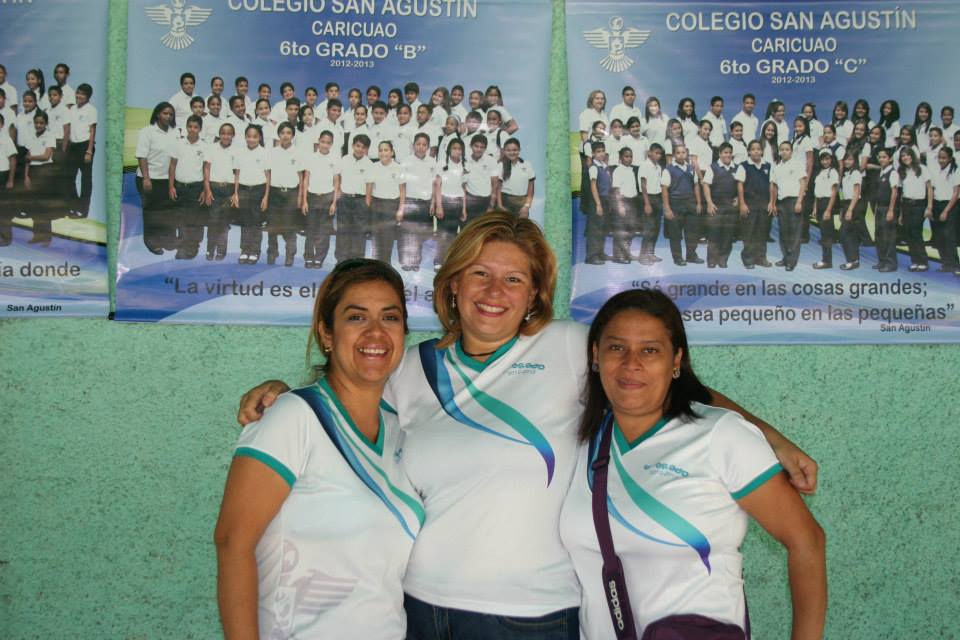
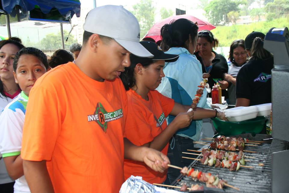
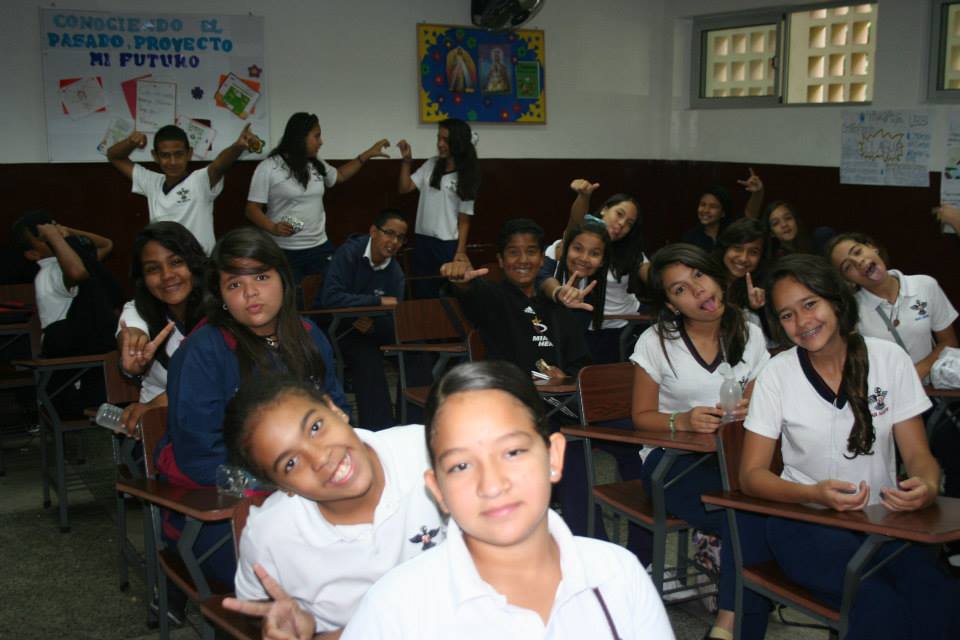
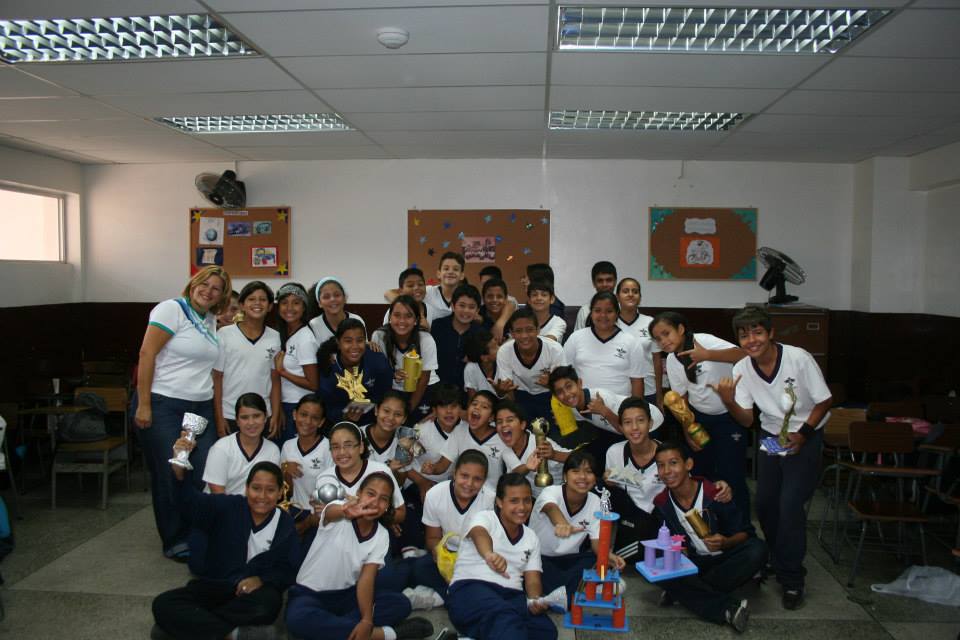
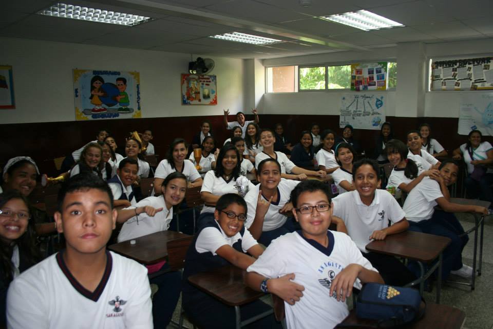
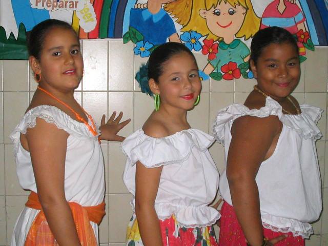
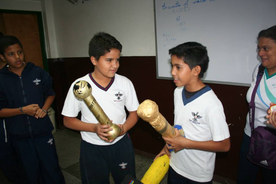
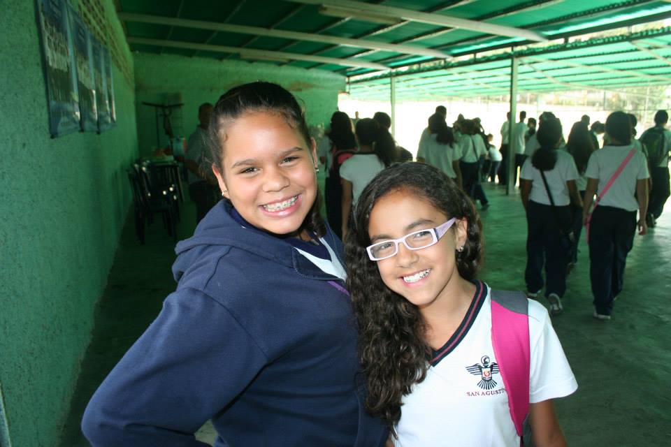
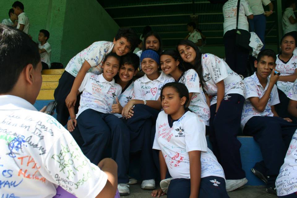
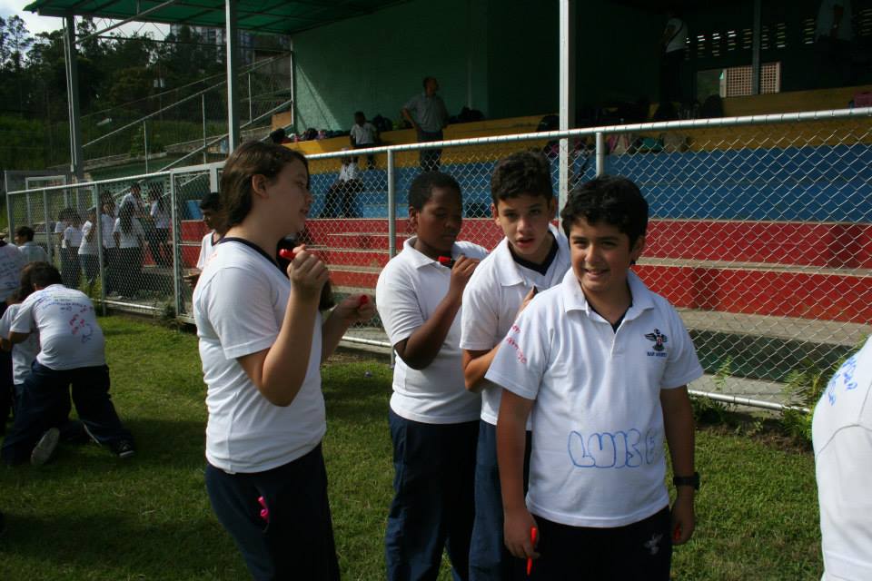
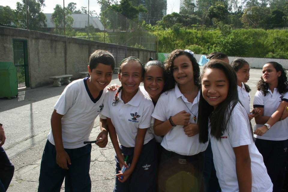
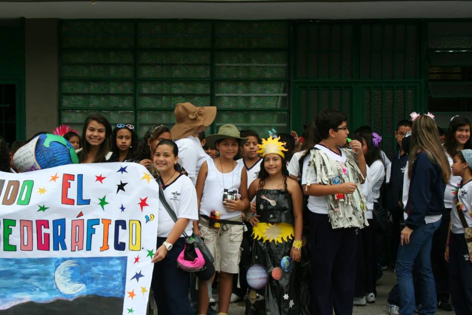
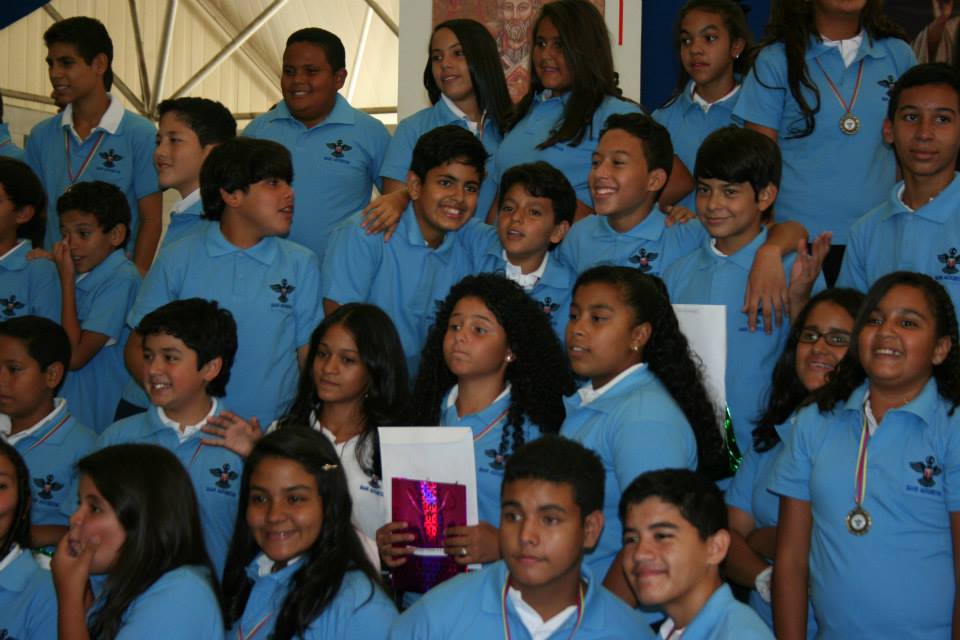
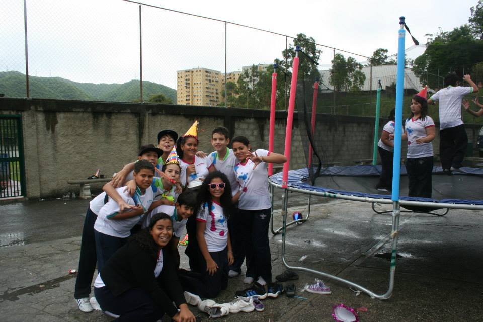
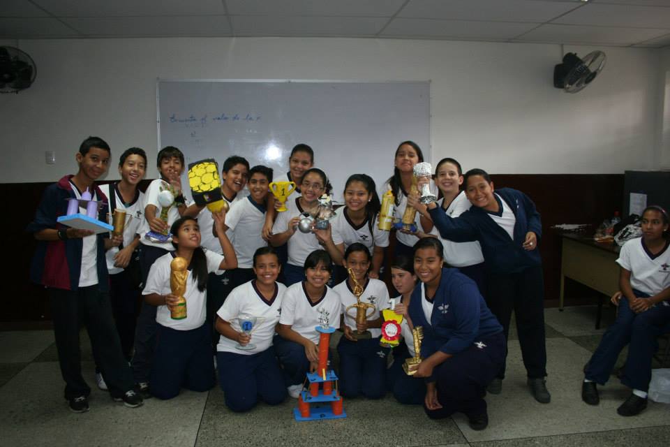
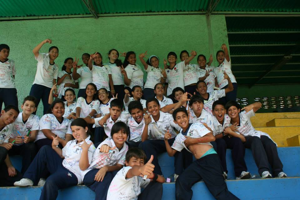
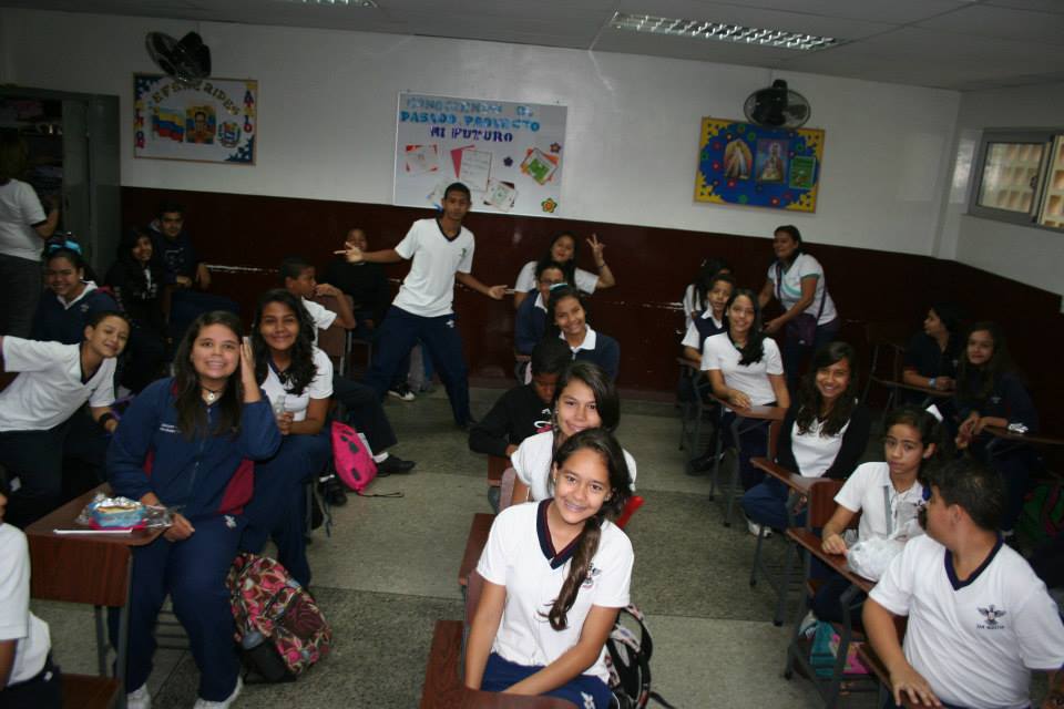
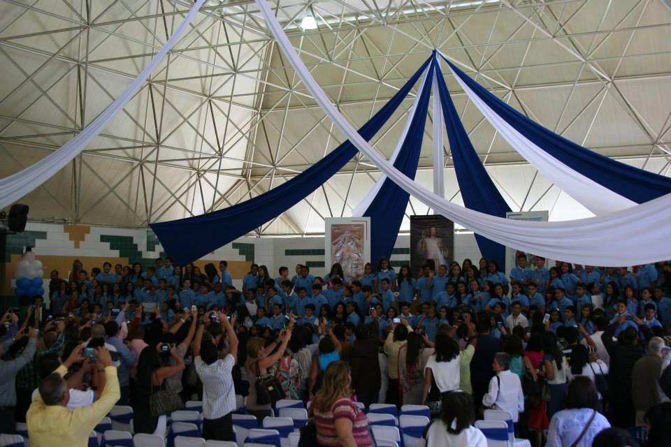
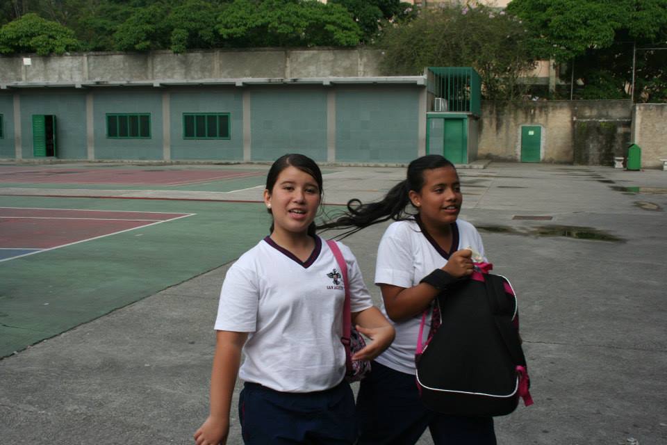
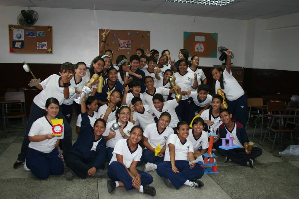
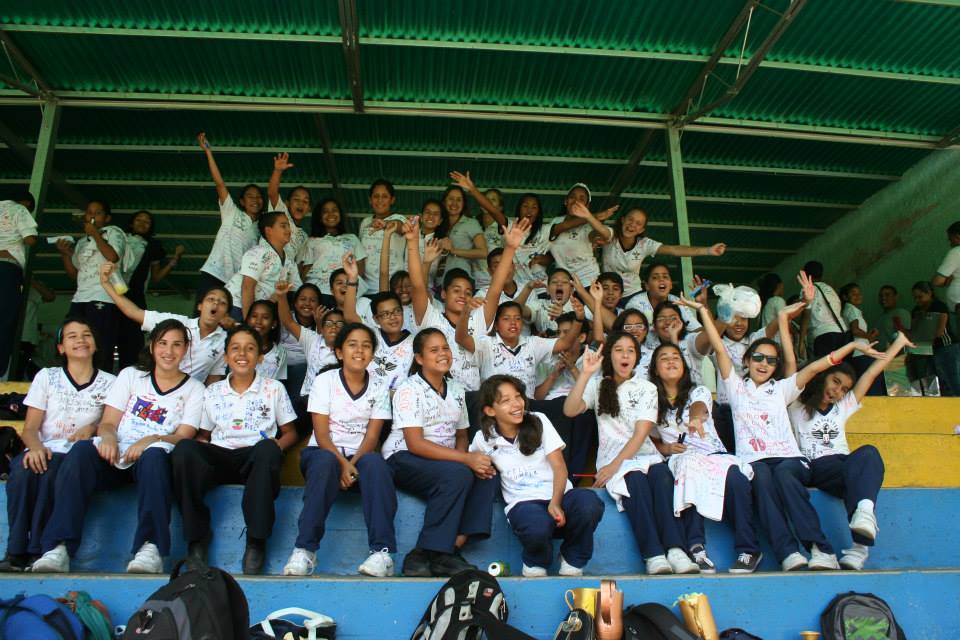
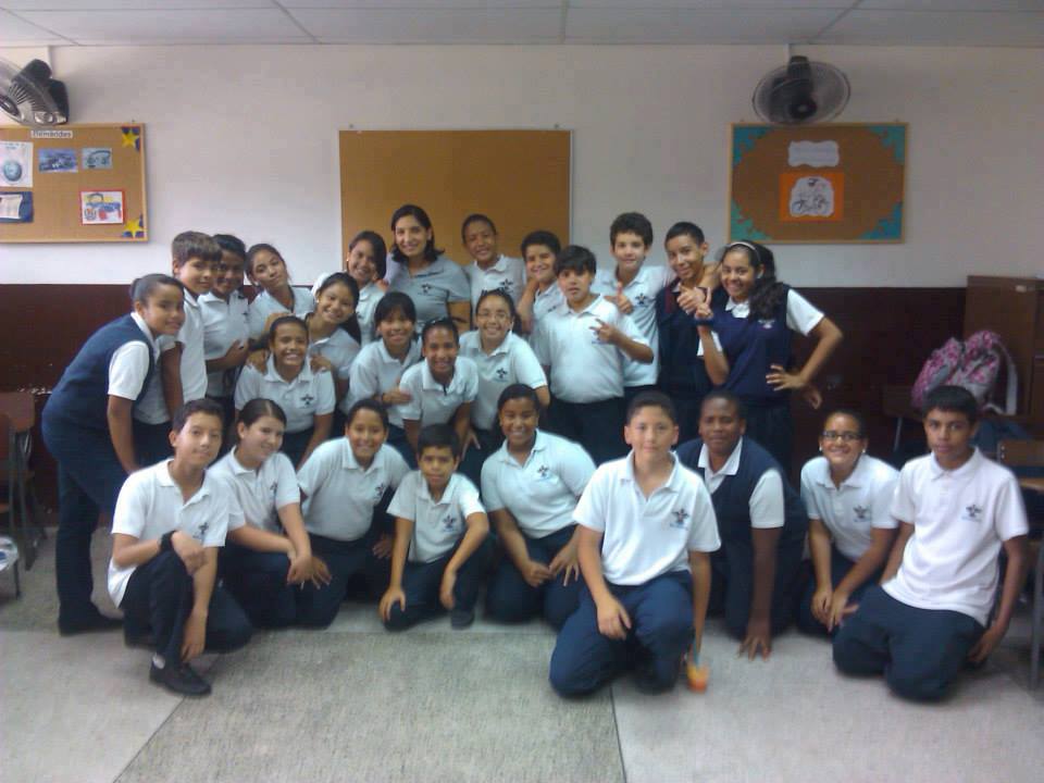
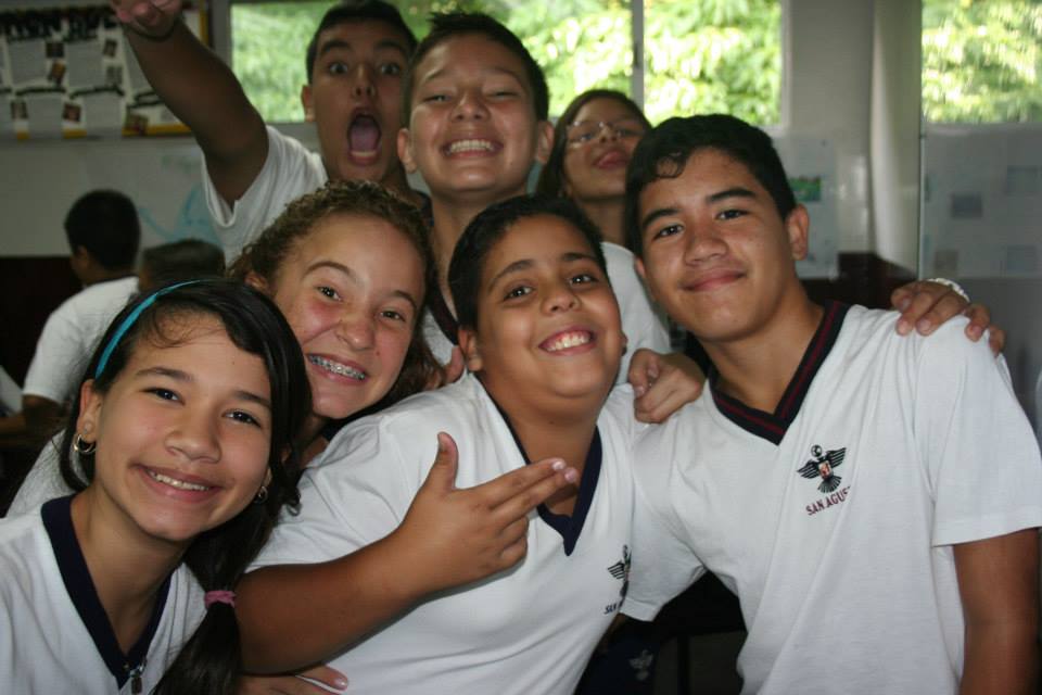
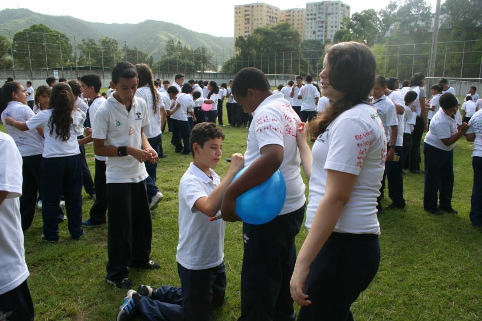
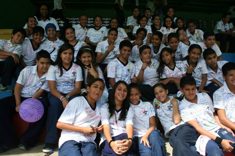
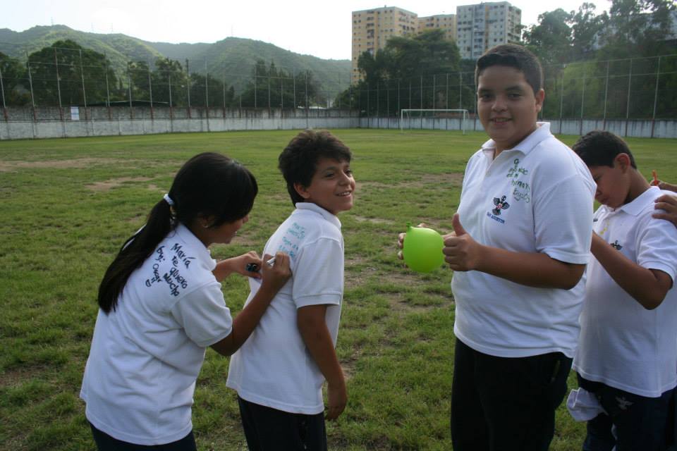
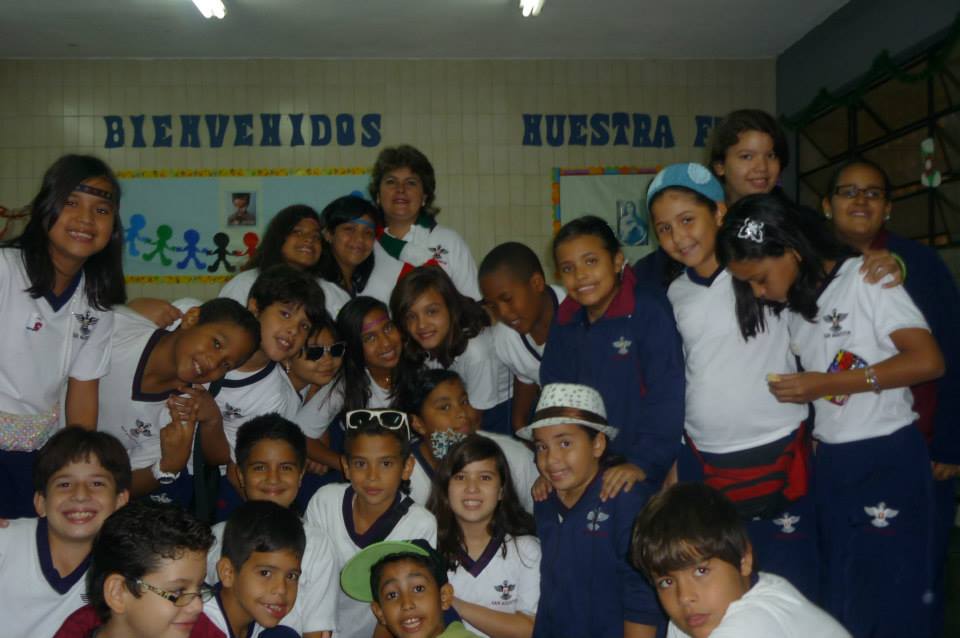
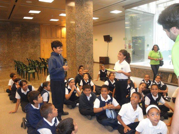
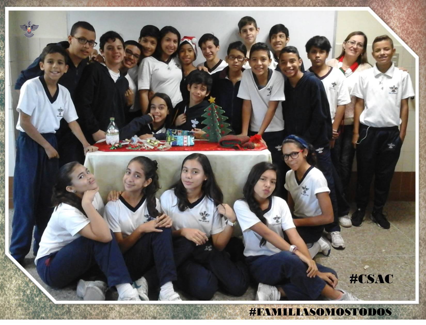
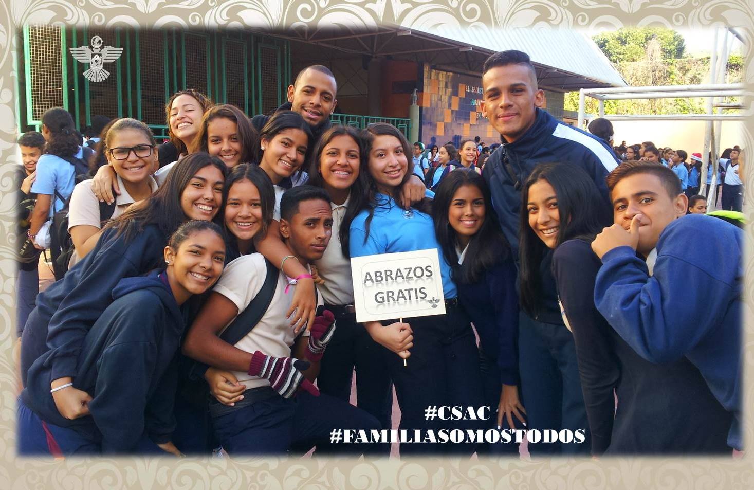
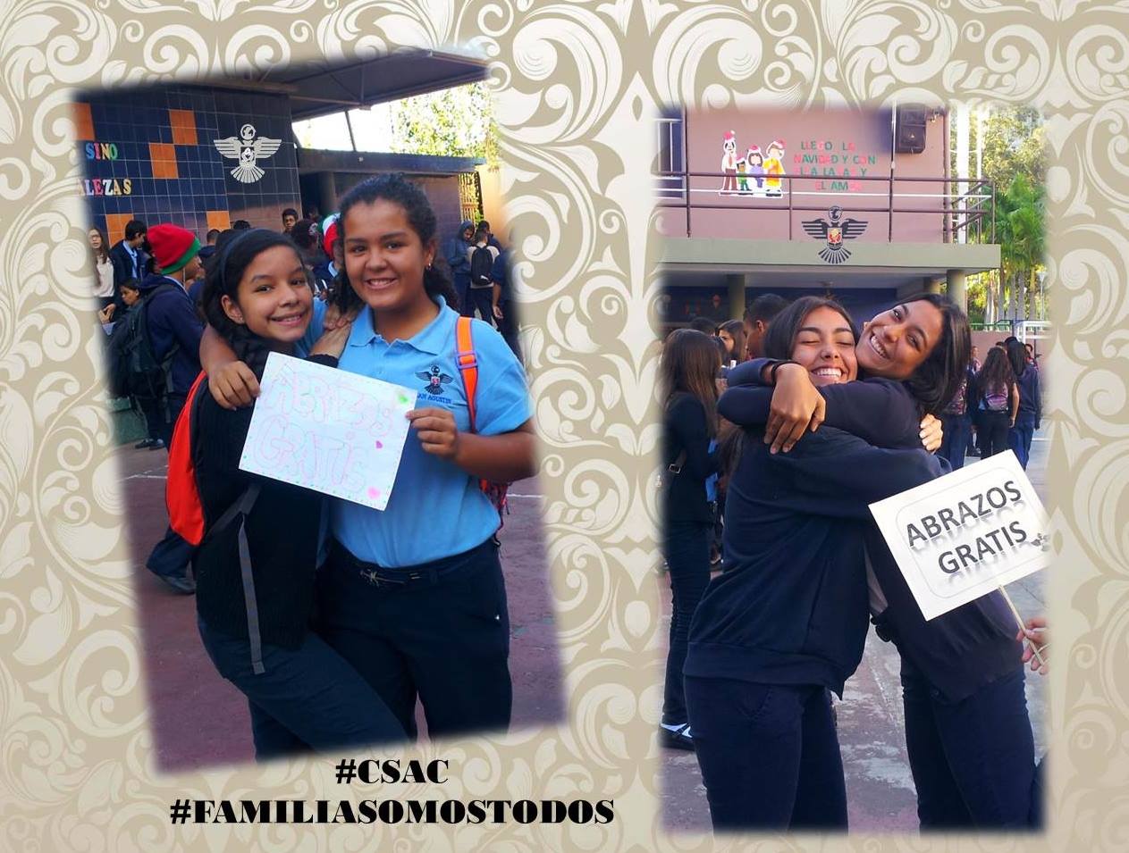
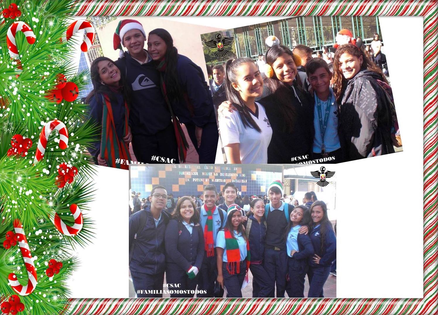
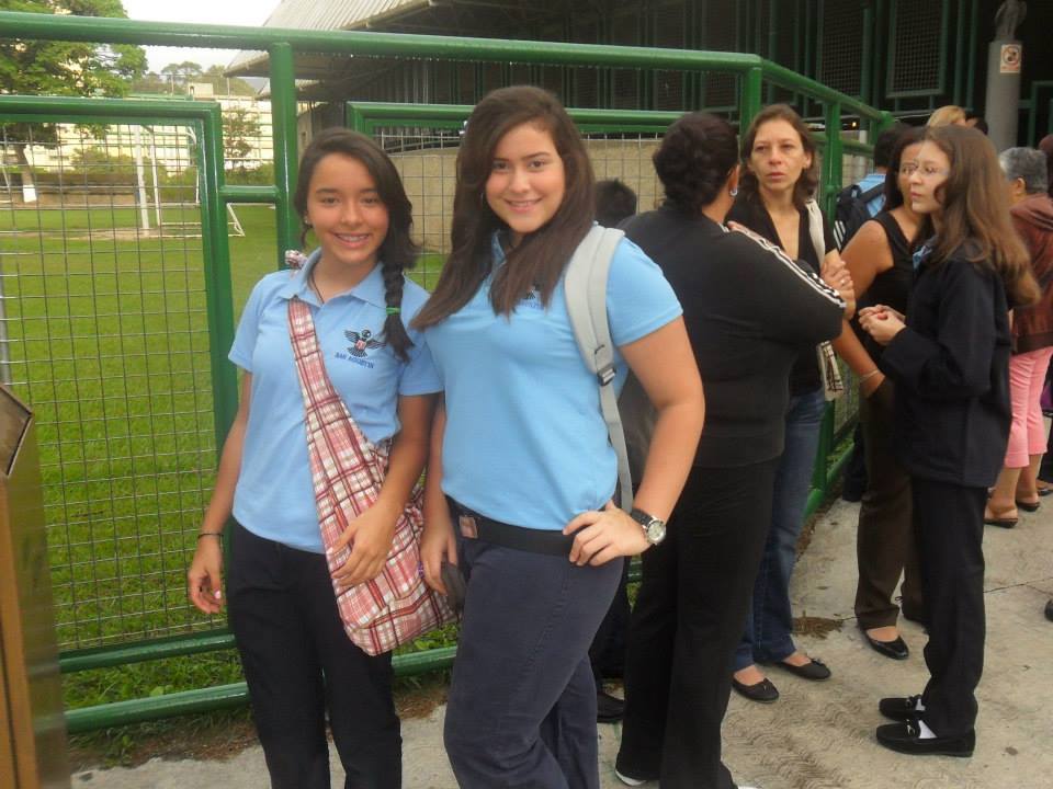
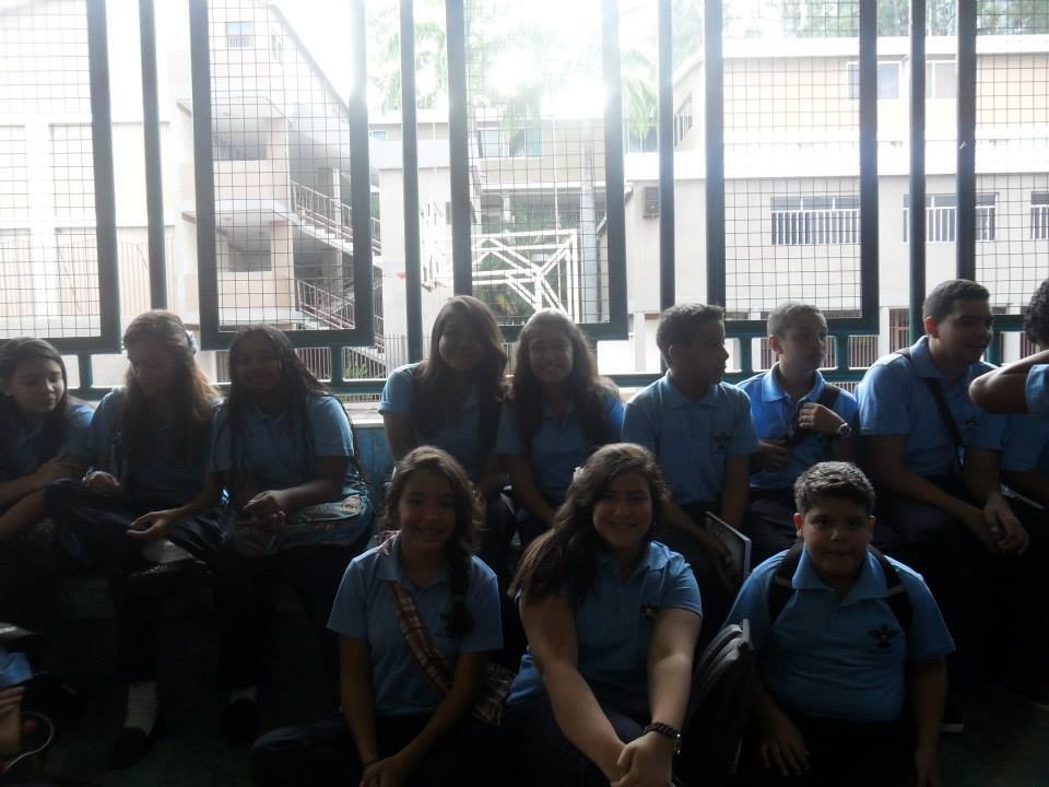
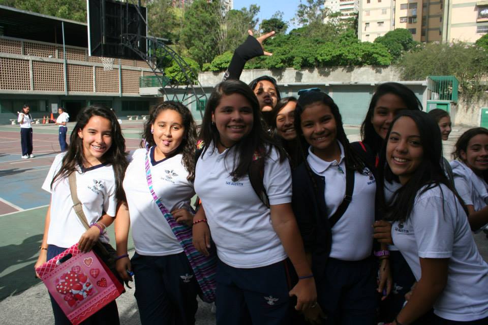
Continuing with the school San Agustin, in Caricuao, mostly lower middle class neighborhood, in the very southwest of Caracas:
Spoiler!
My Updated 23andme Results (2021)
My Updated AncestryDNA Results (2022)
My Global25 Coordinates (2020)
An Epic Thread about me opened by Profield
| Thumbs Up |
| Received: 19,512 Given: 36,957 |
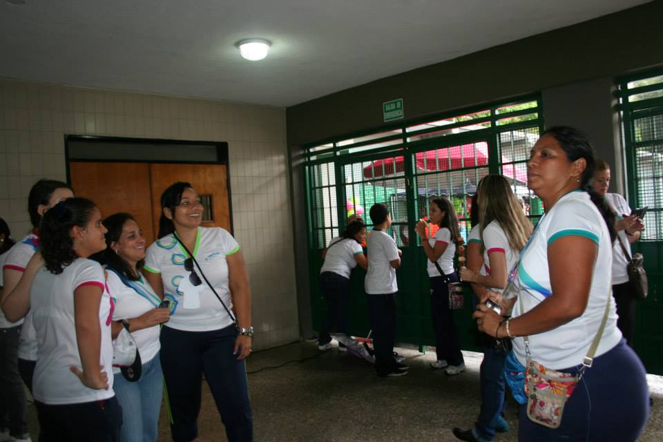
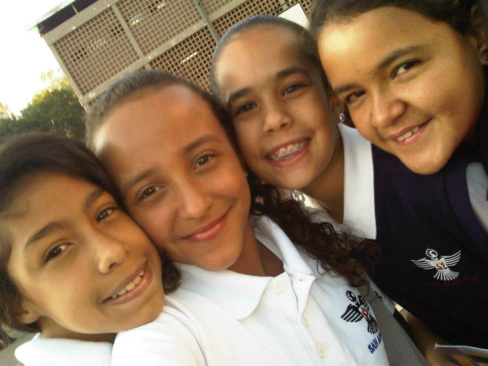
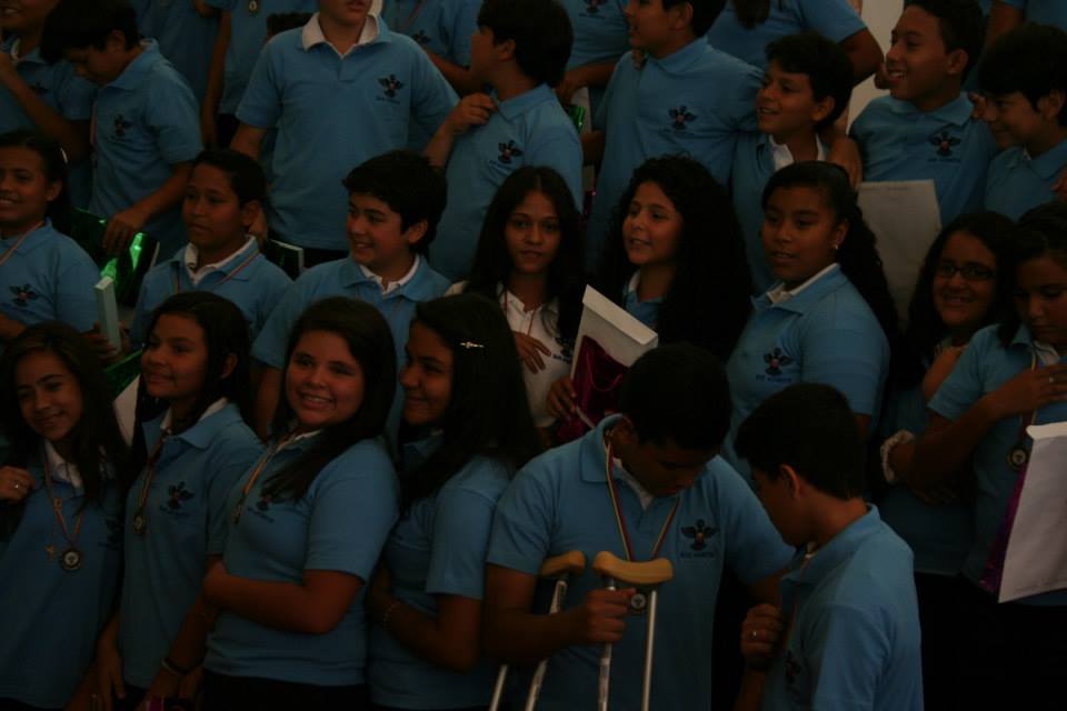
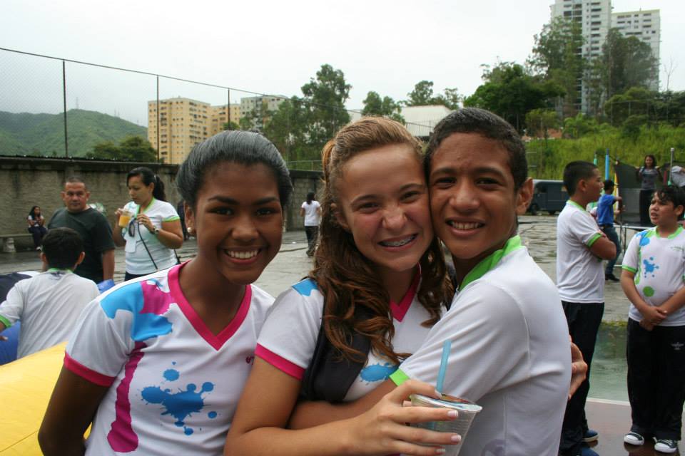
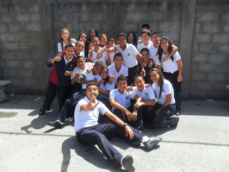
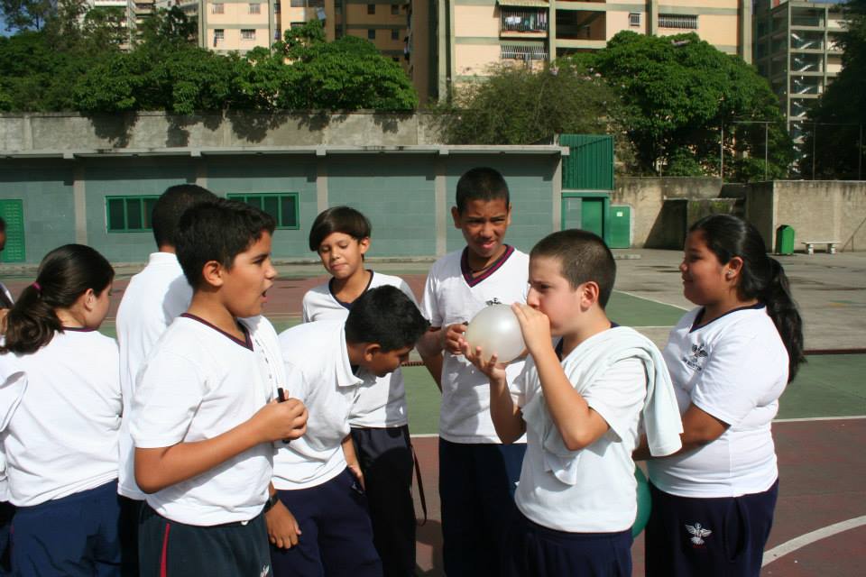
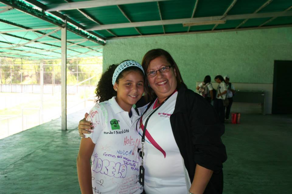
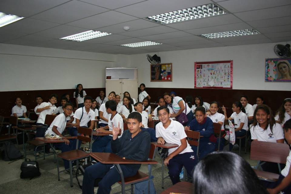
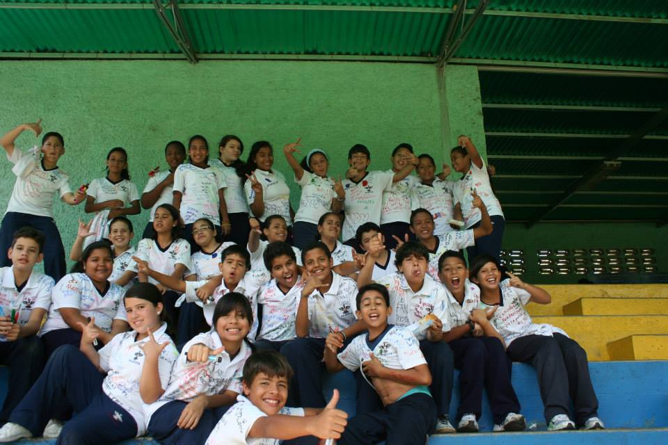
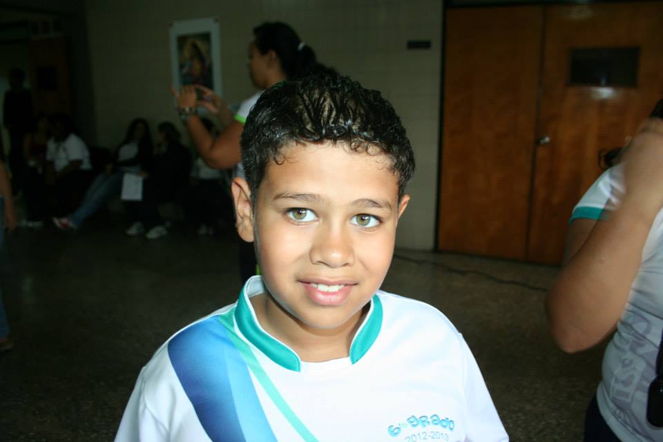
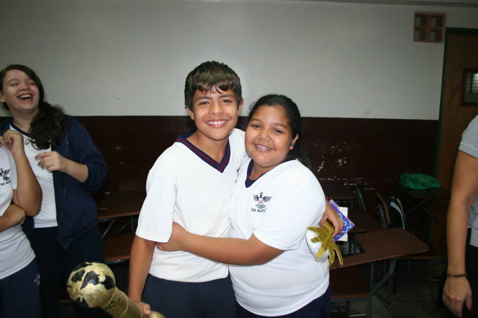
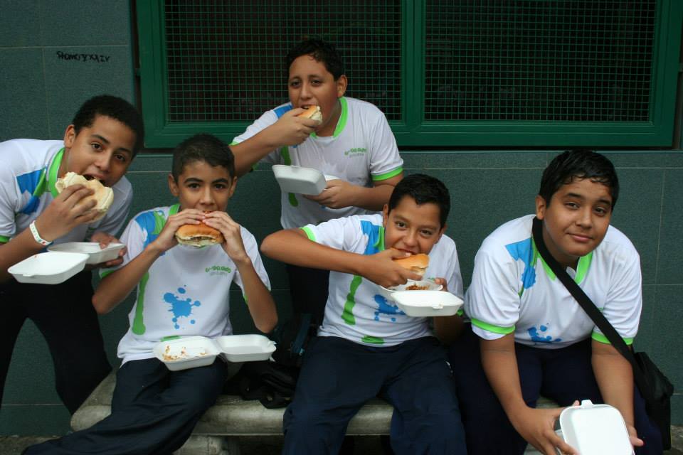
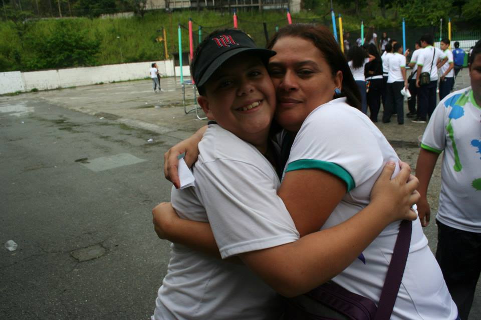
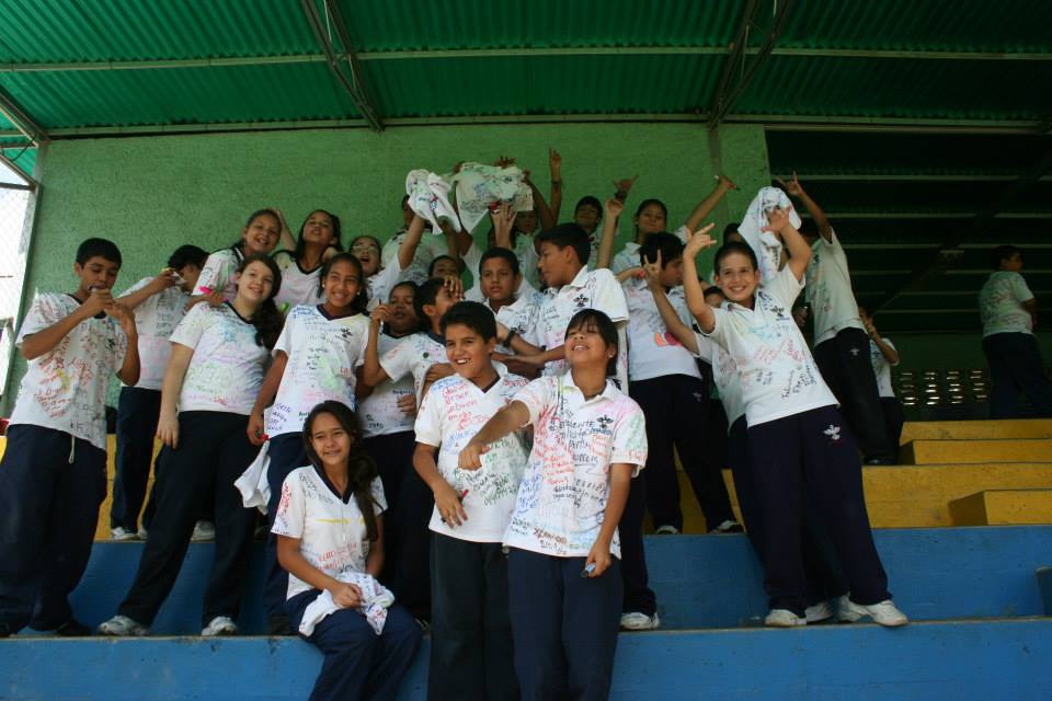
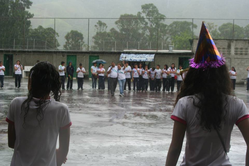
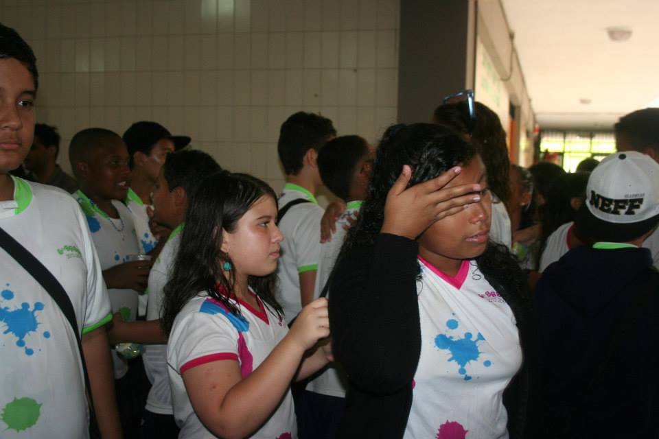
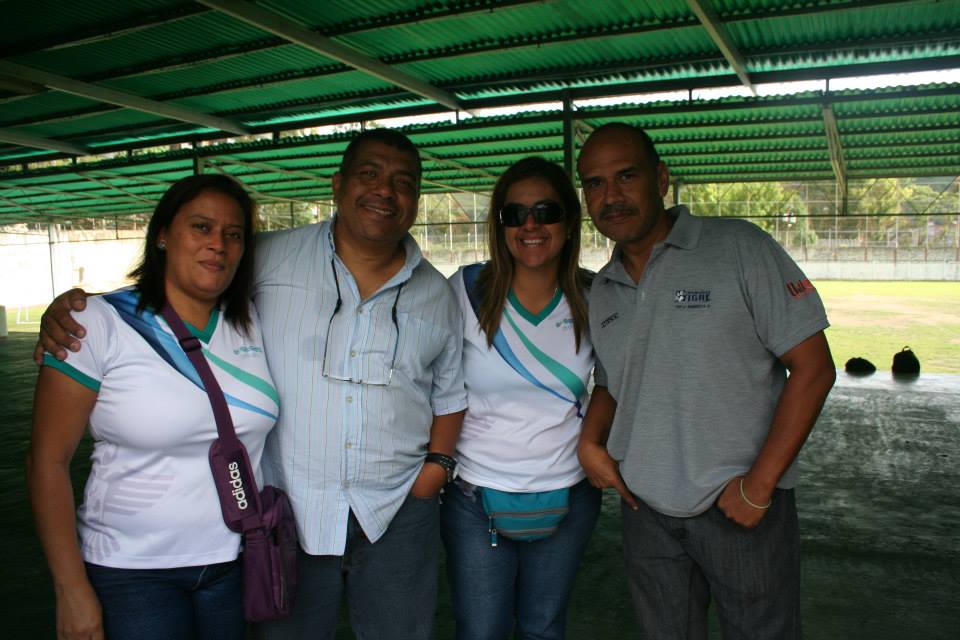
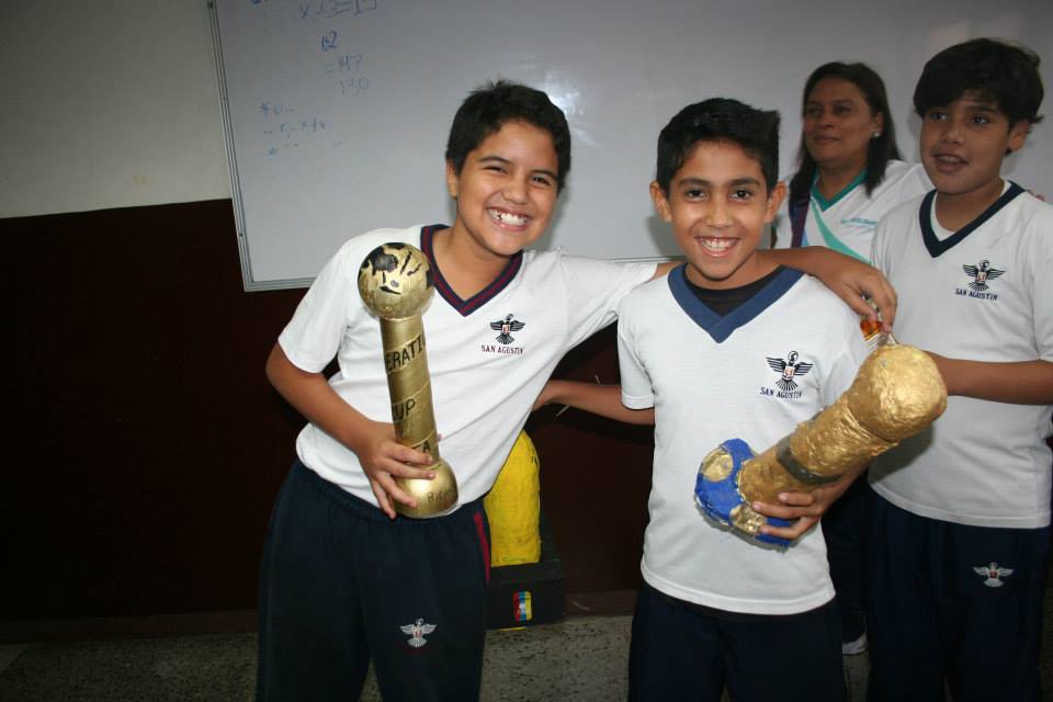
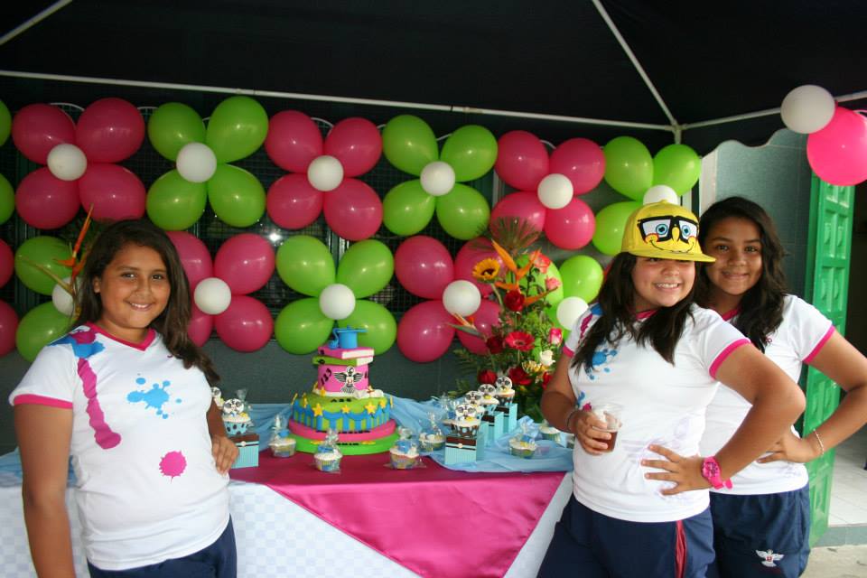
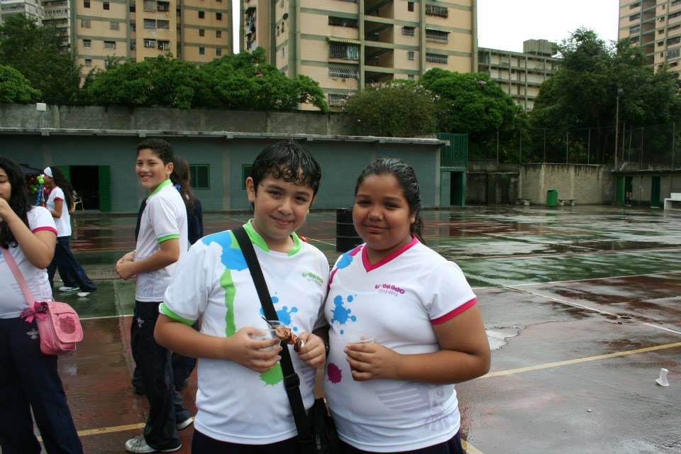
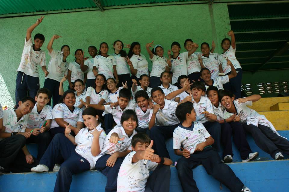
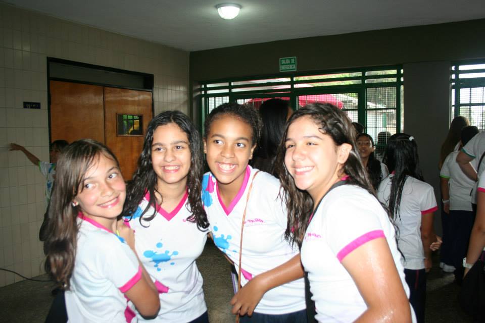
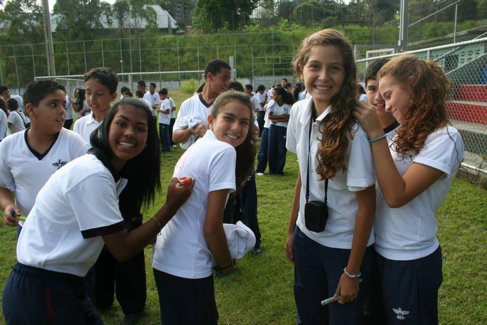
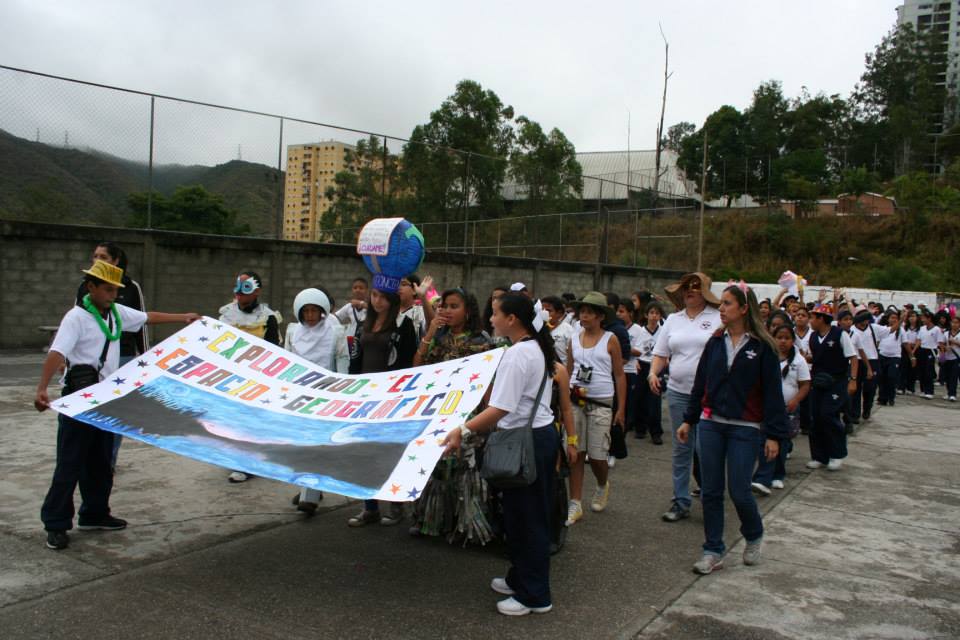
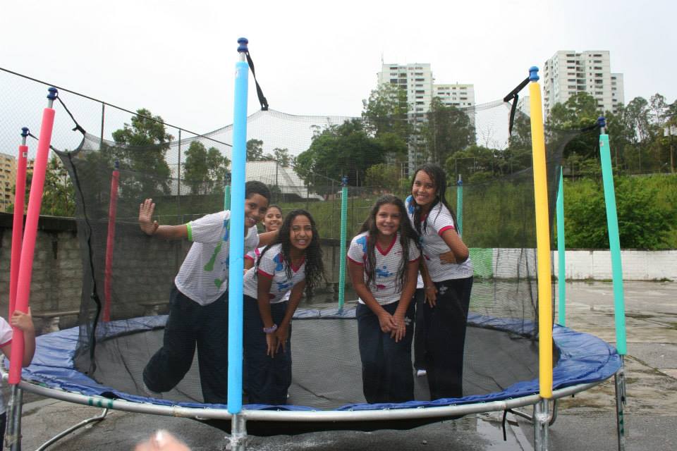
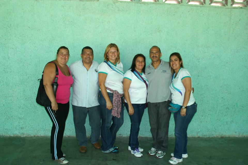
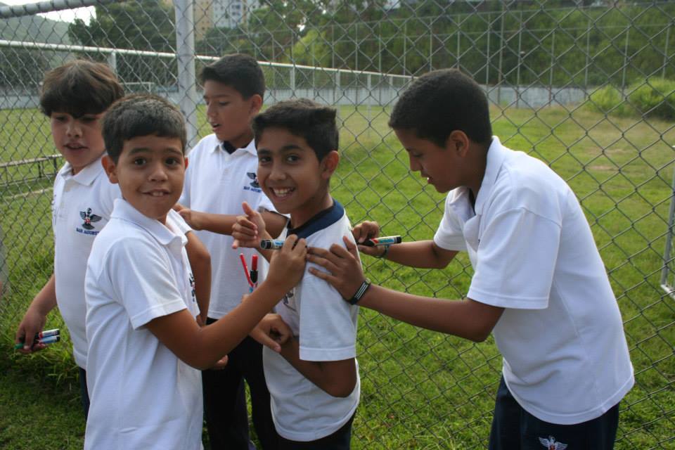
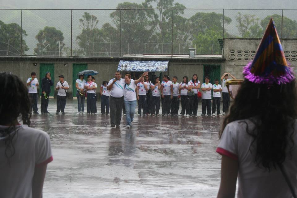
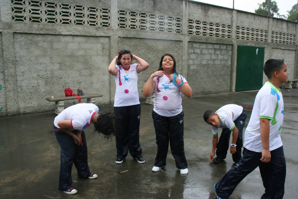
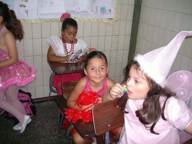
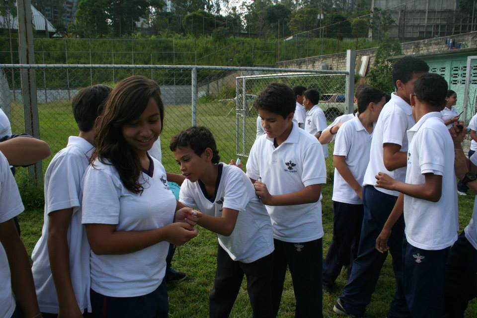
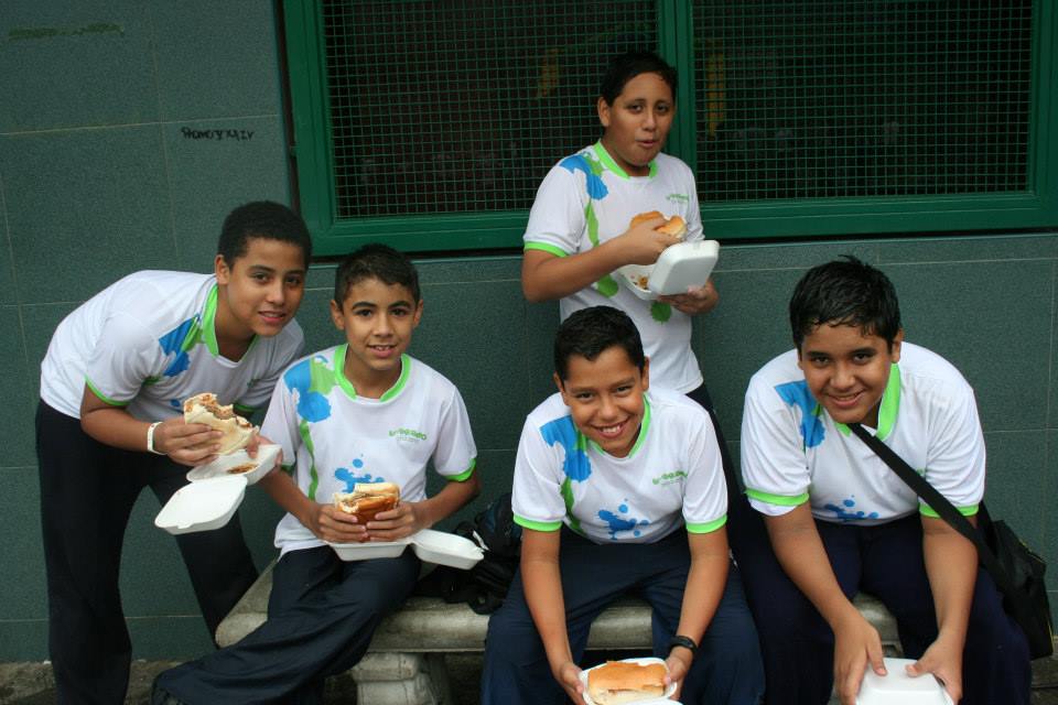
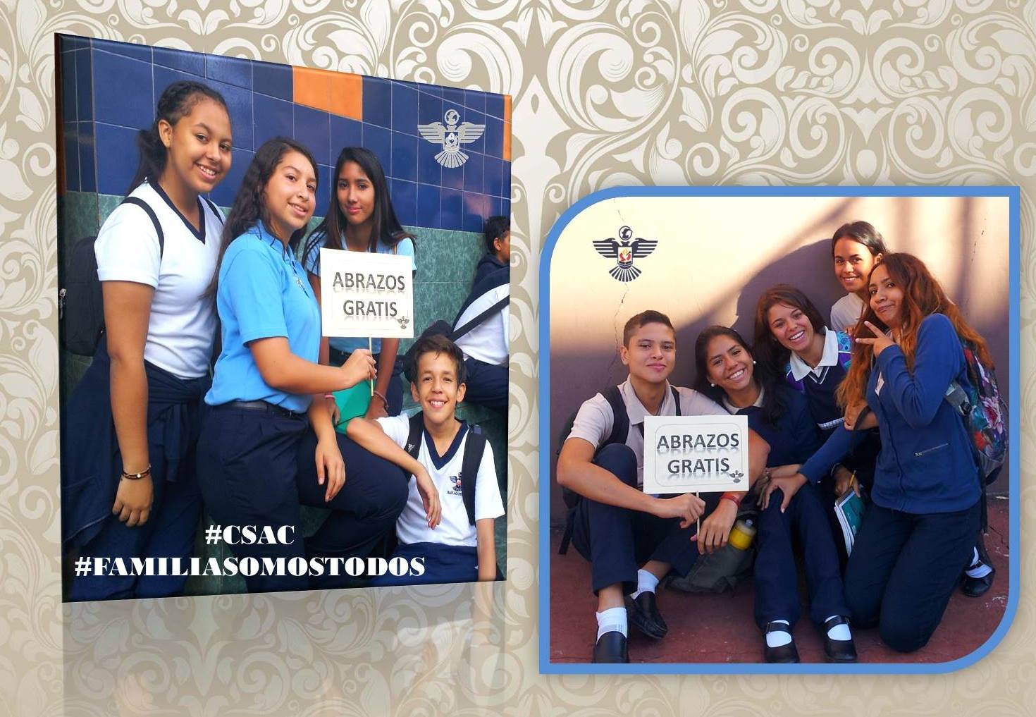
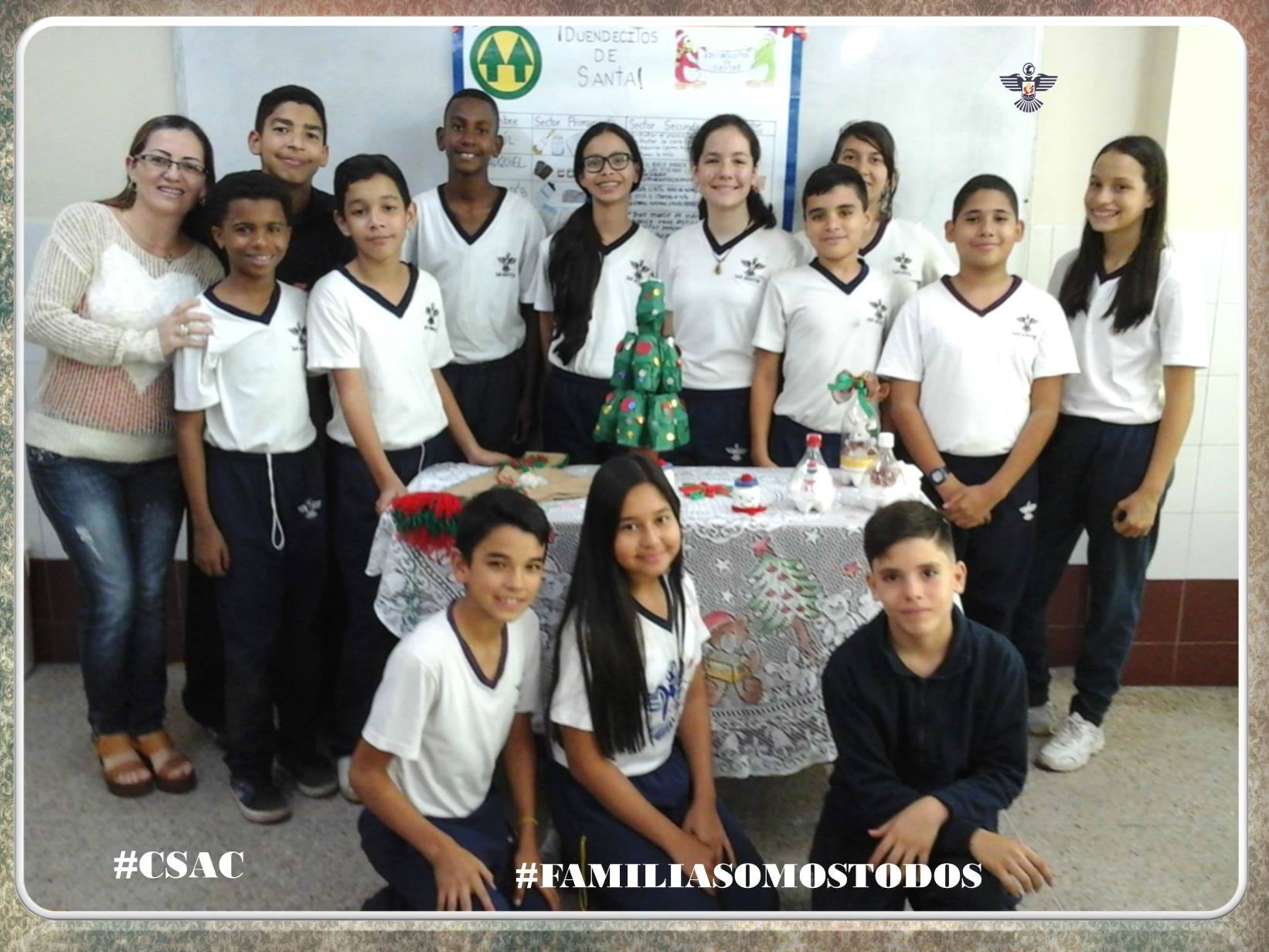
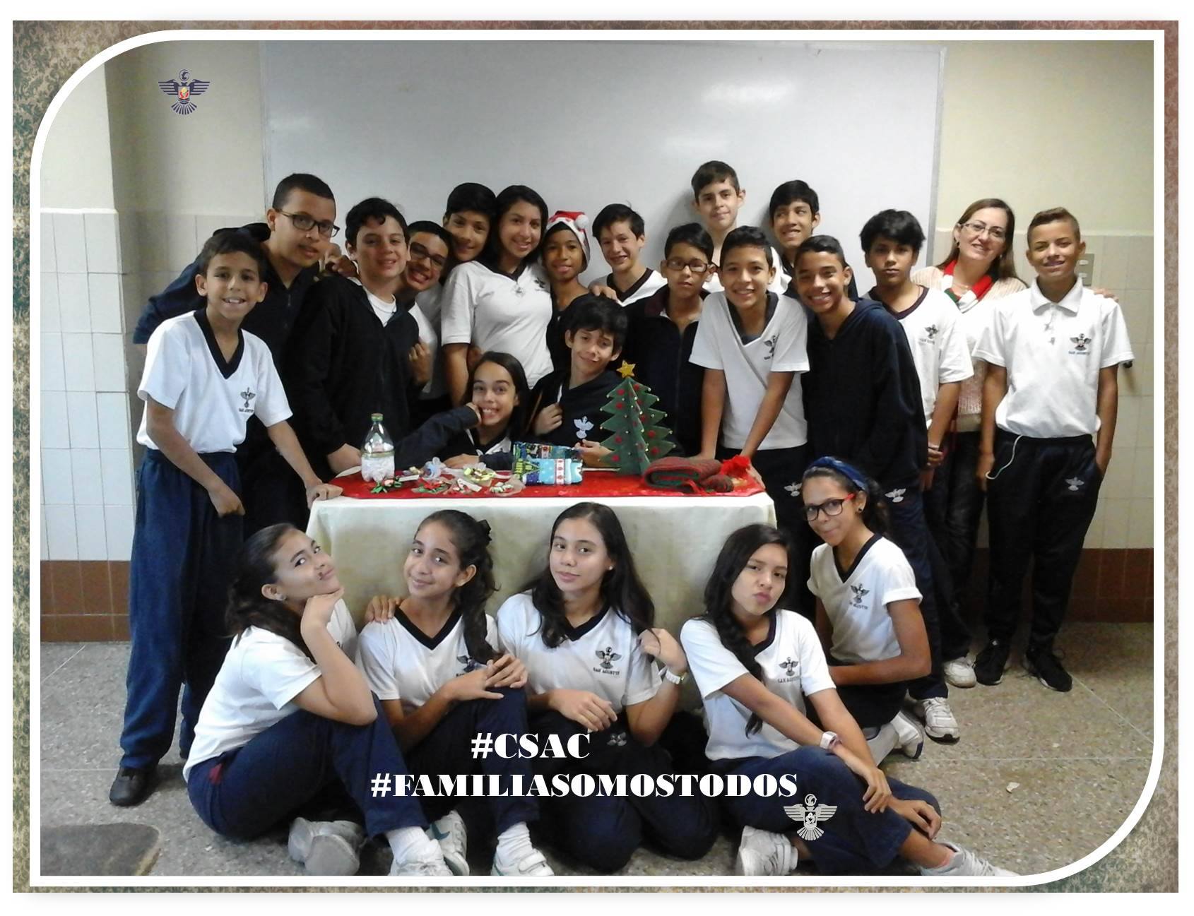
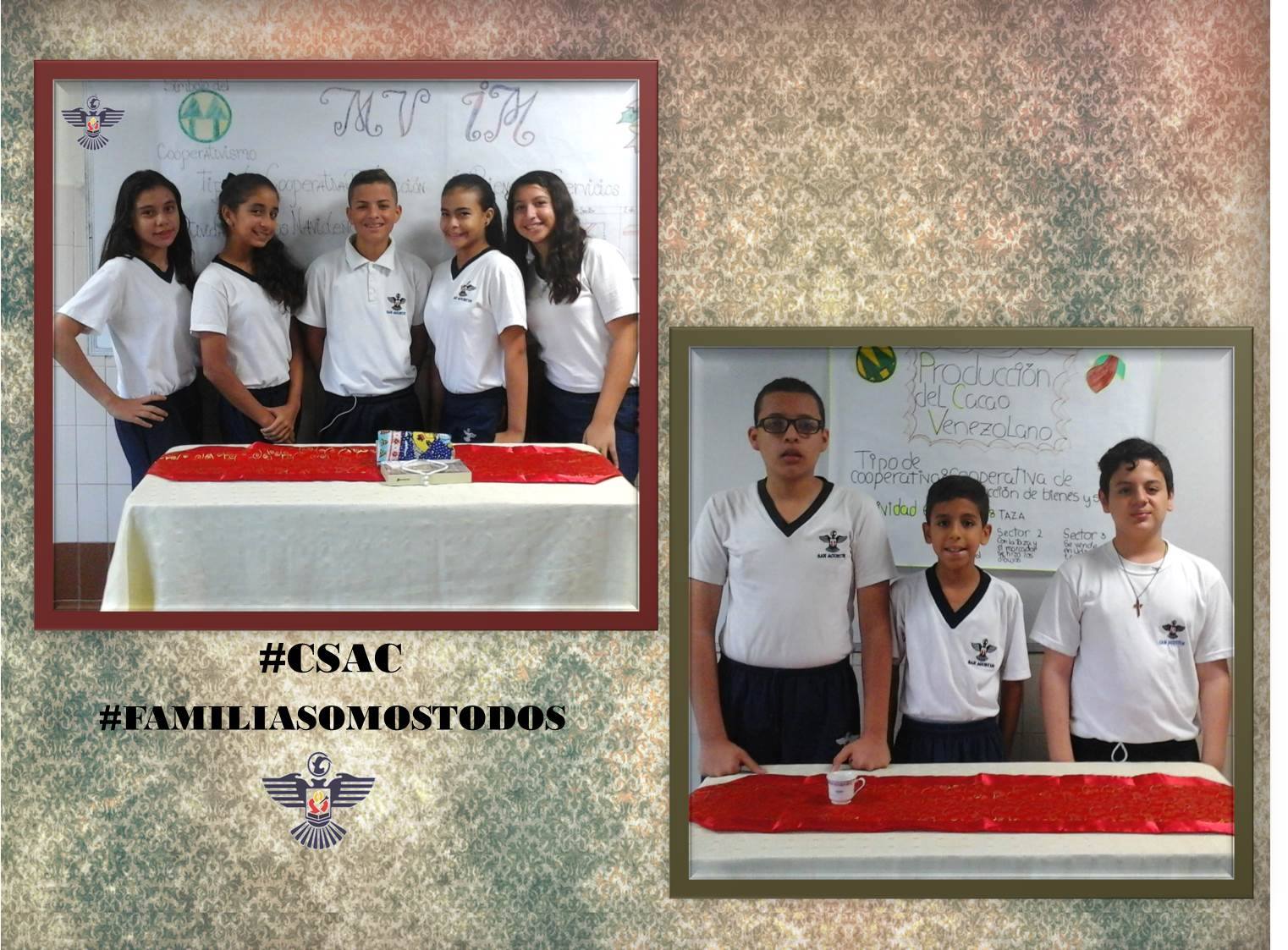
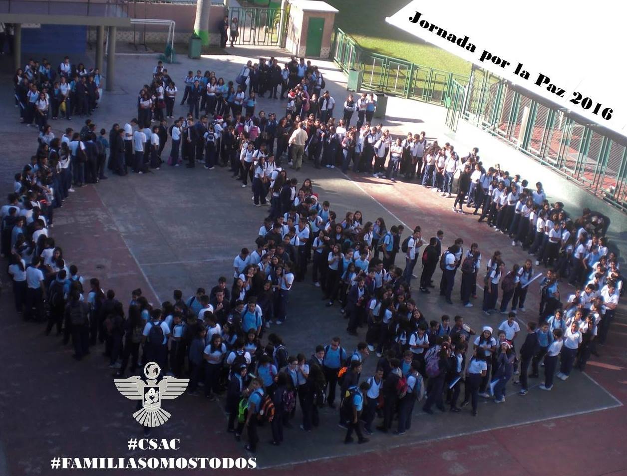
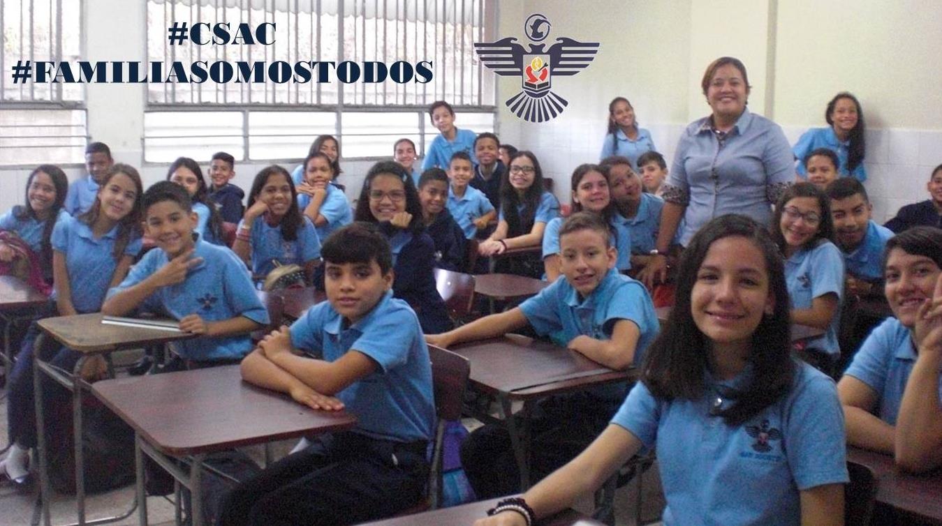
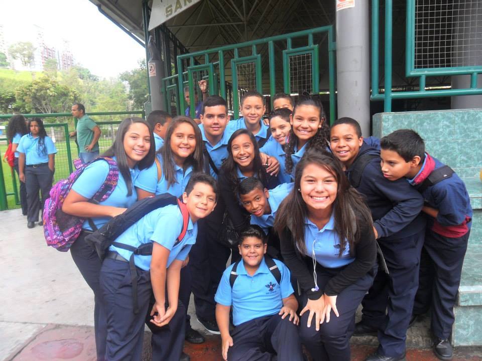
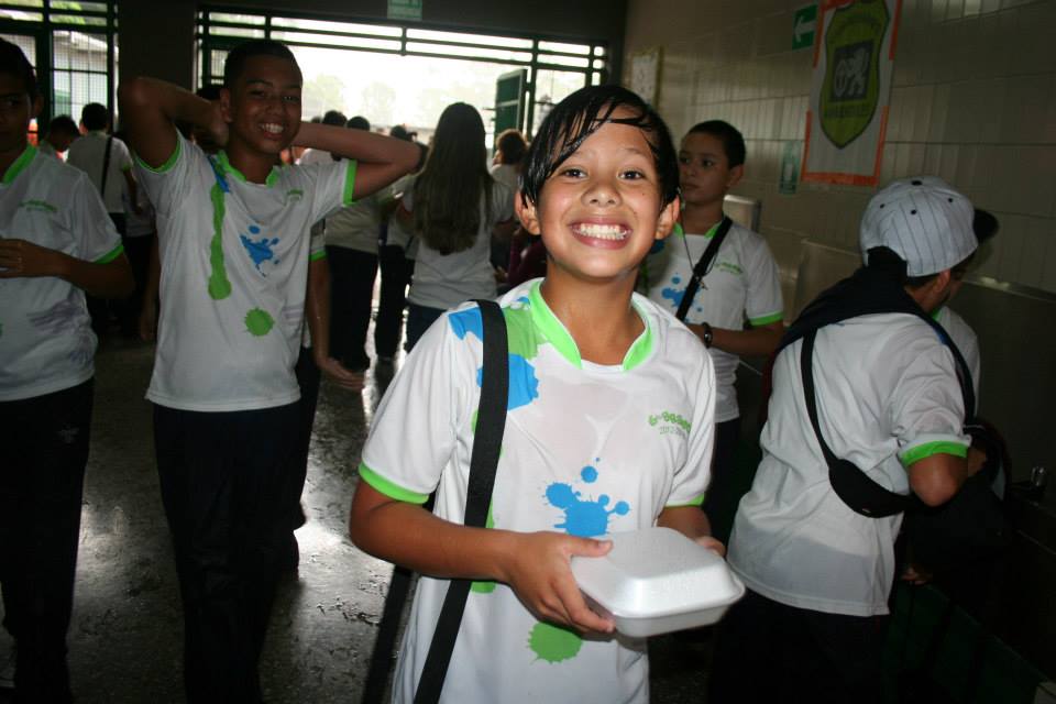
Continuing with school San Agustin in Caricuao Parish, southwestern Caracas:
Spoiler!
Spoiler!
My Updated 23andme Results (2021)
My Updated AncestryDNA Results (2022)
My Global25 Coordinates (2020)
An Epic Thread about me opened by Profield
| Thumbs Up |
| Received: 19,512 Given: 36,957 |
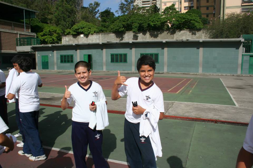
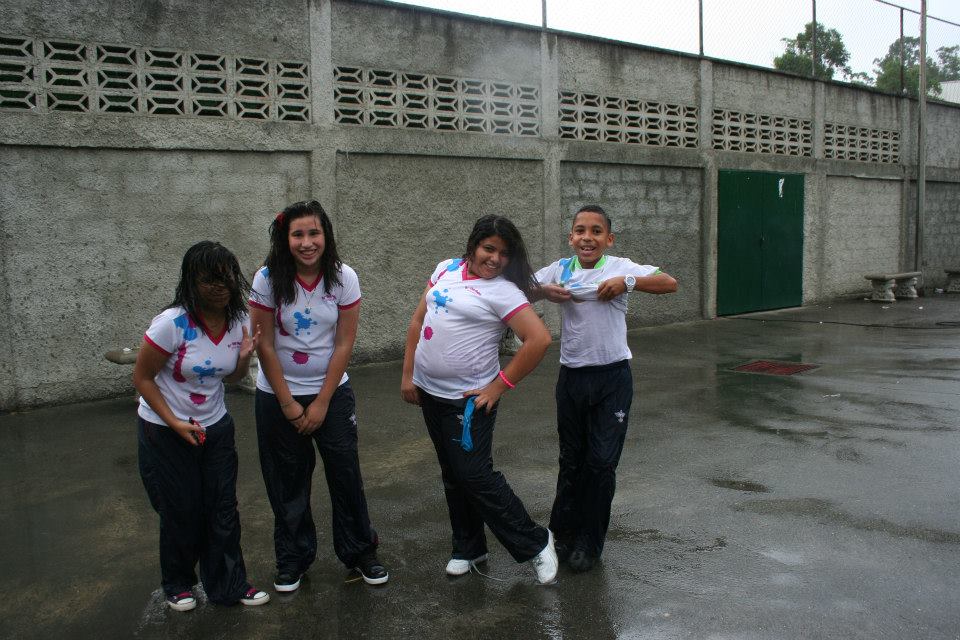
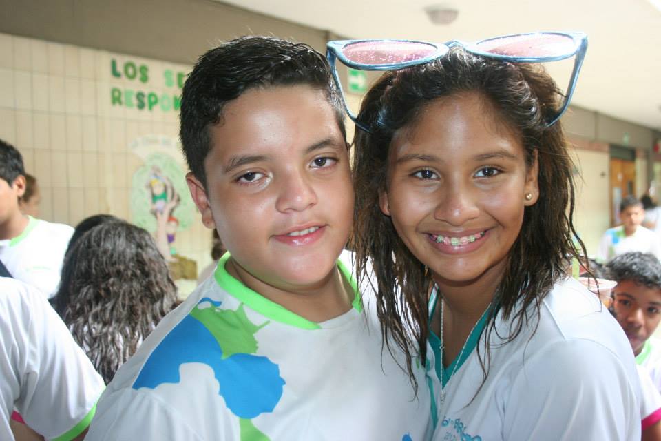
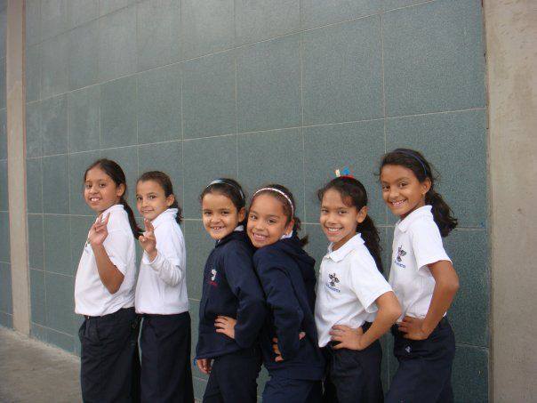
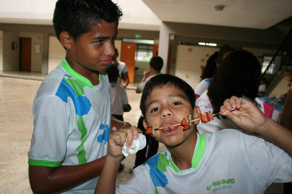
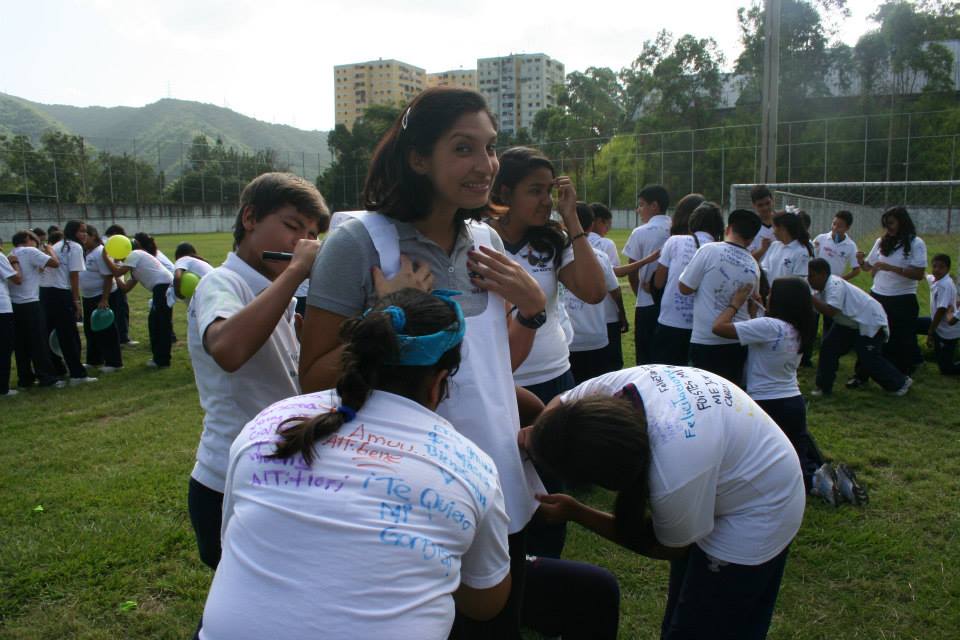
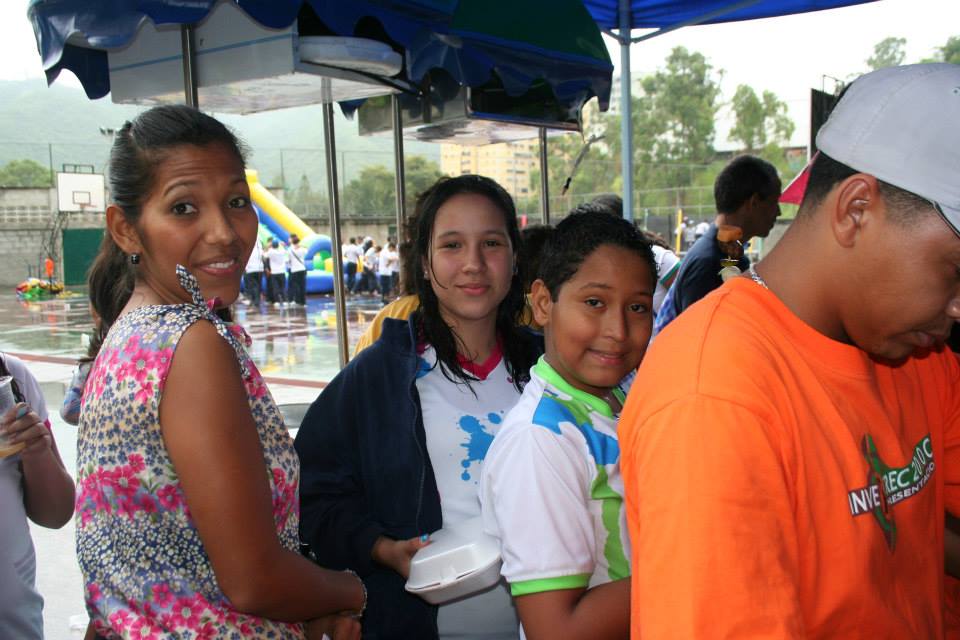
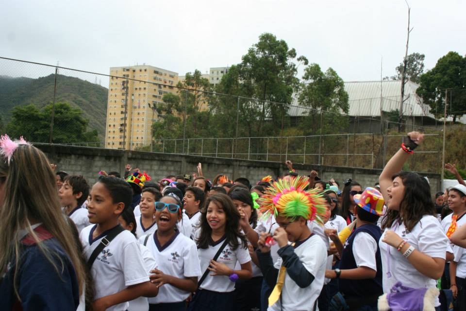
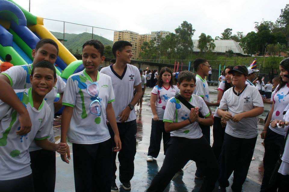
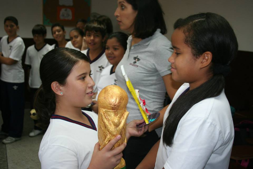
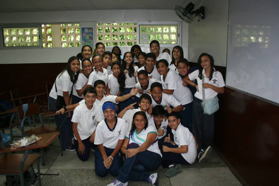
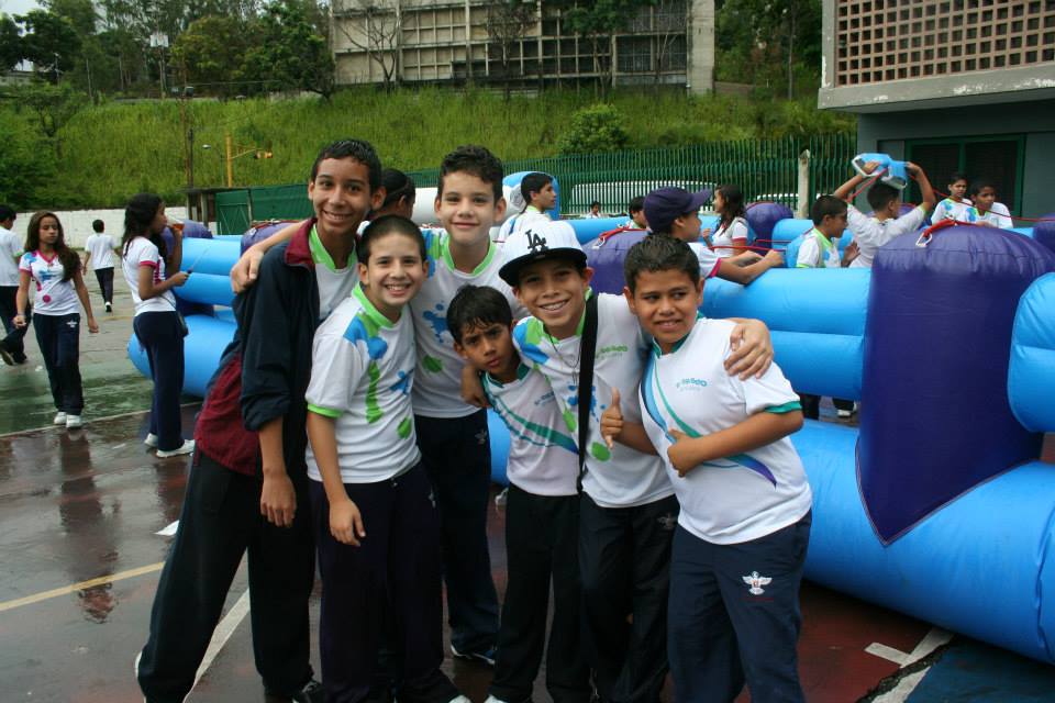
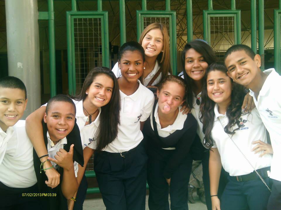
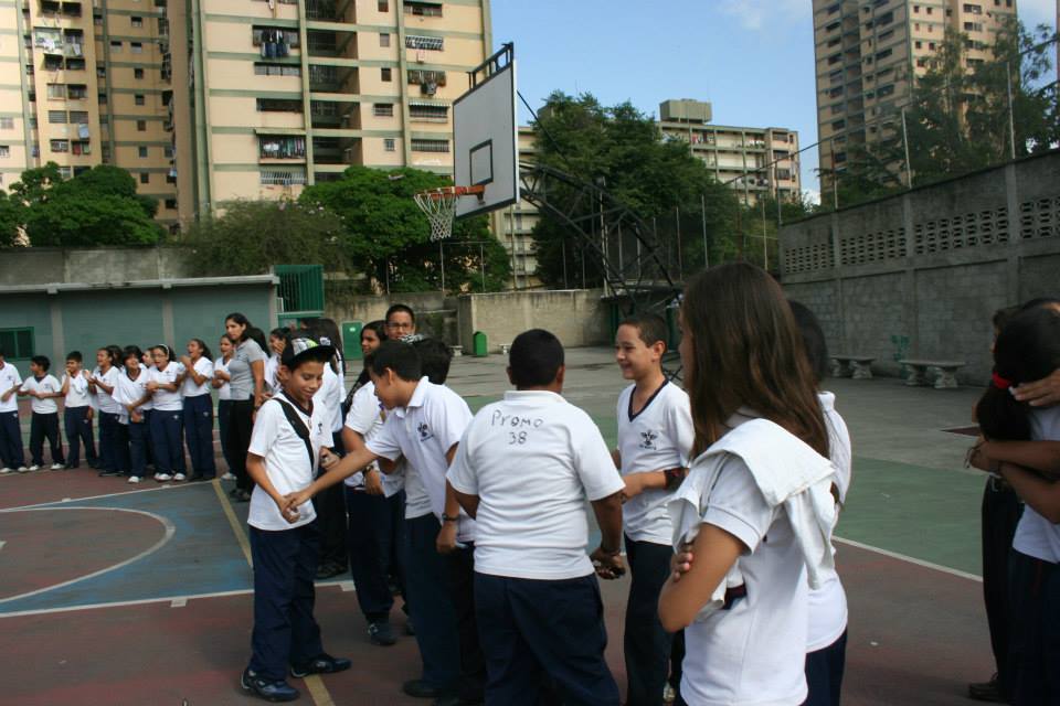
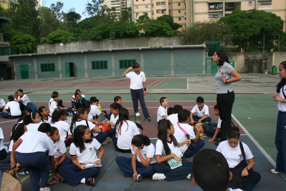
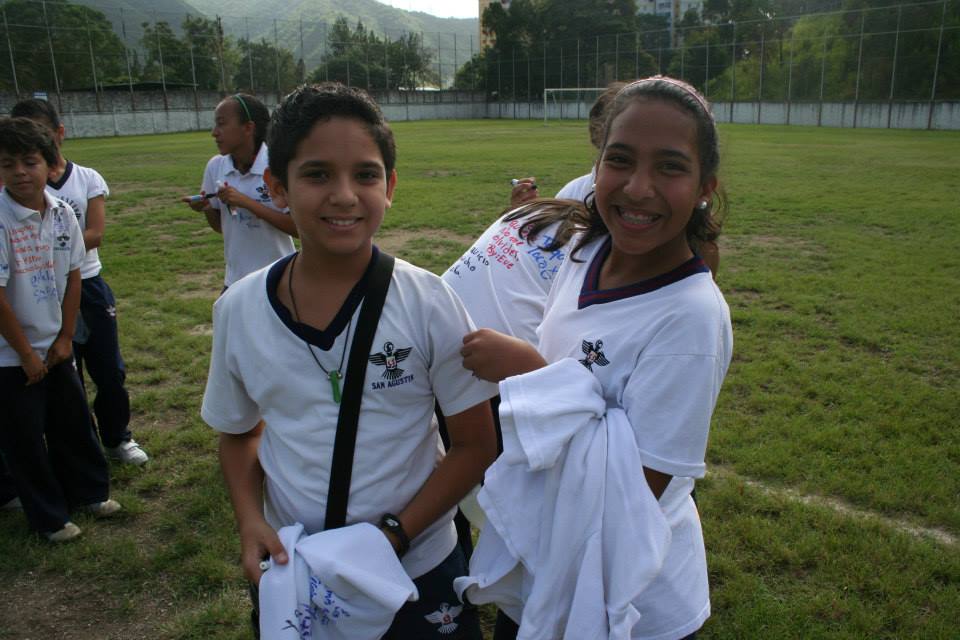
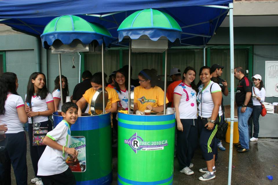
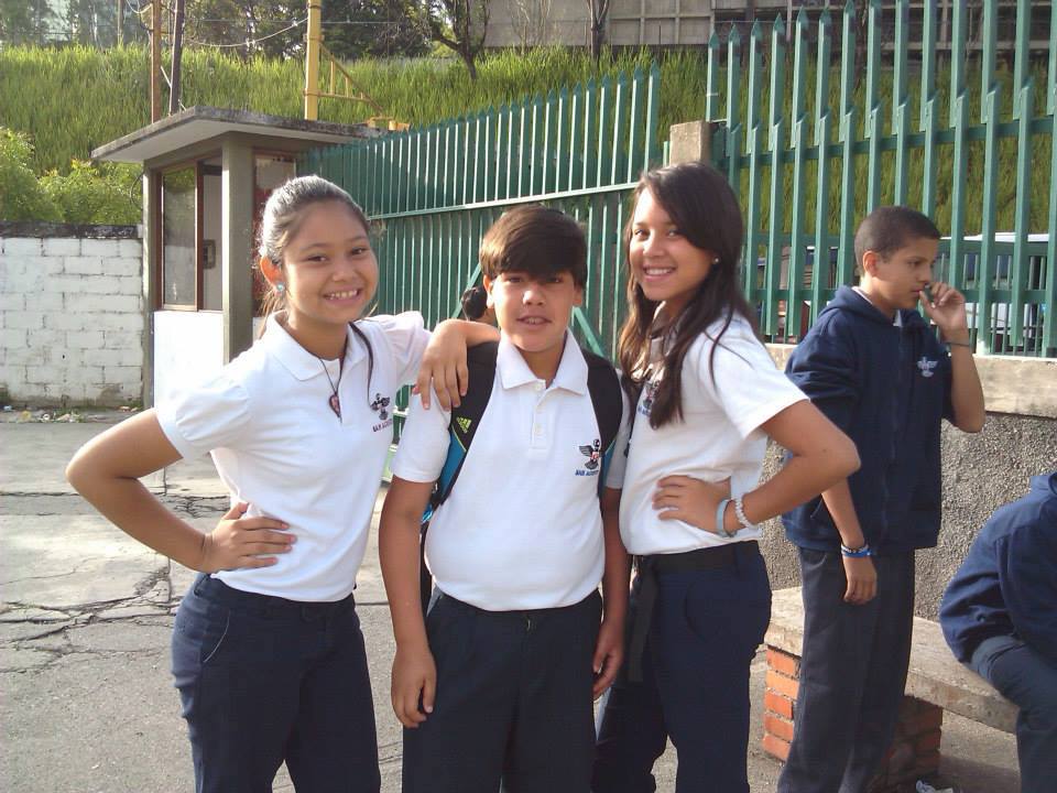
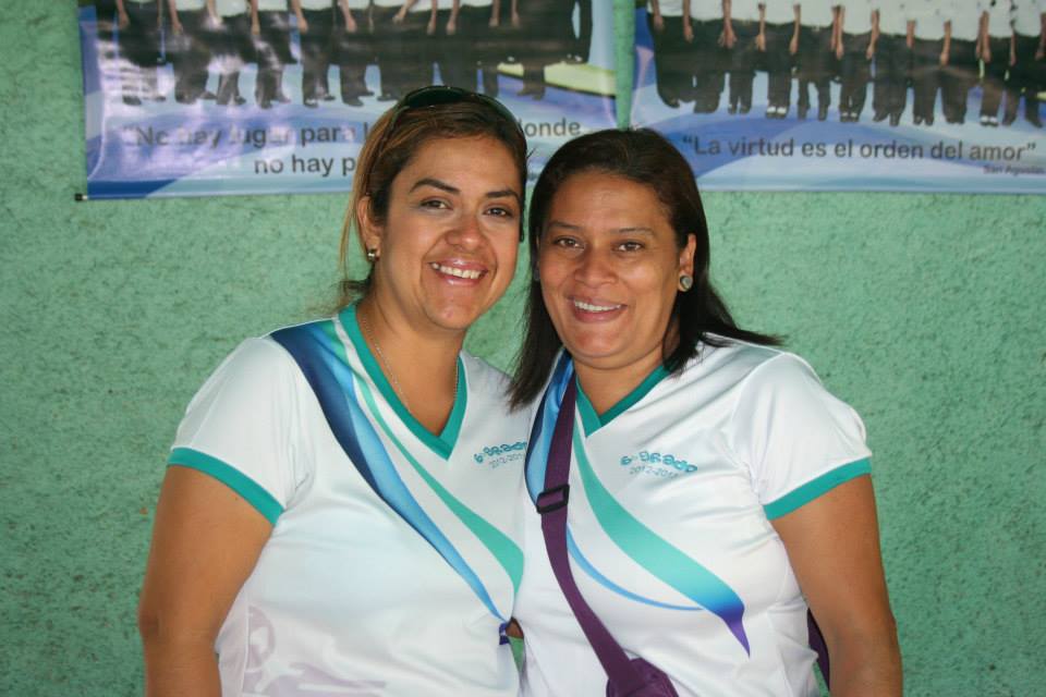
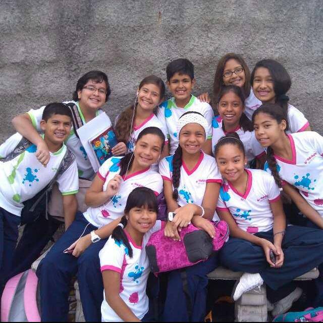
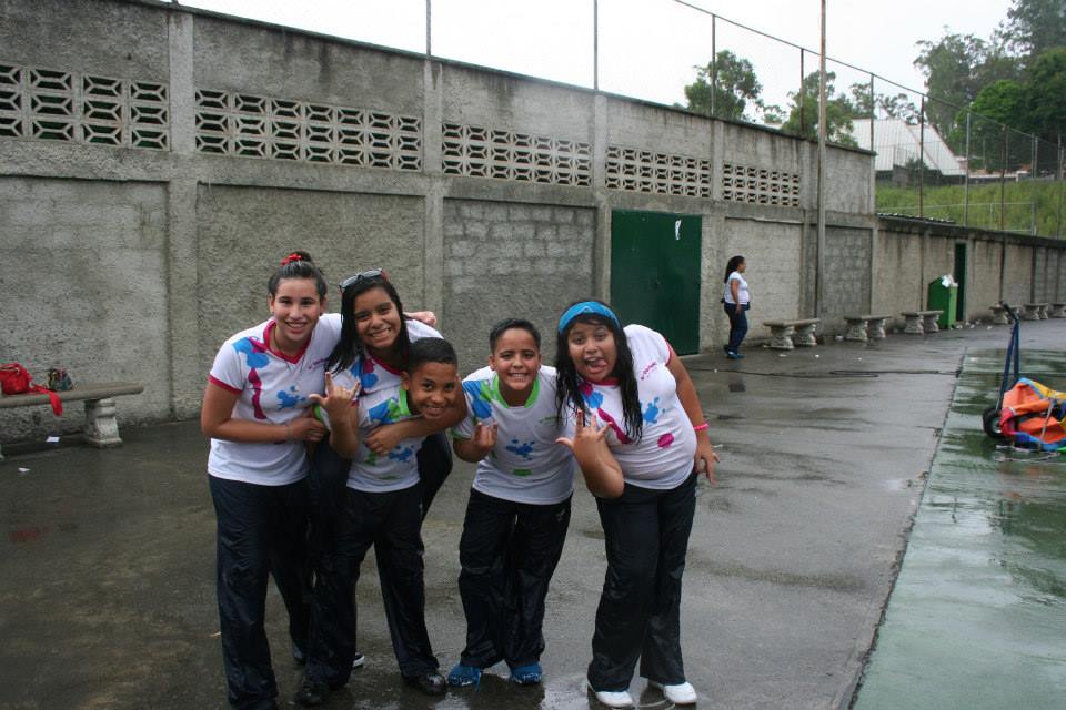
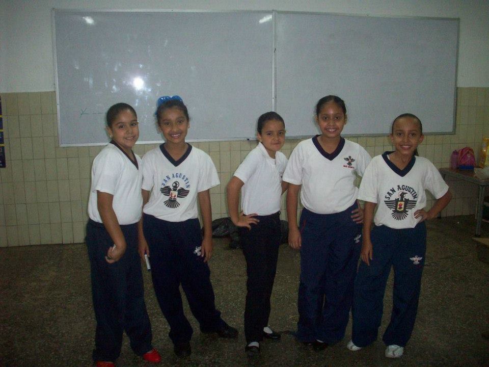
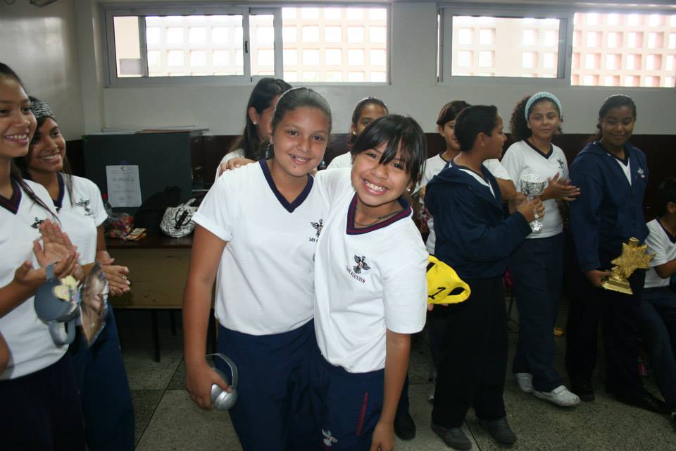
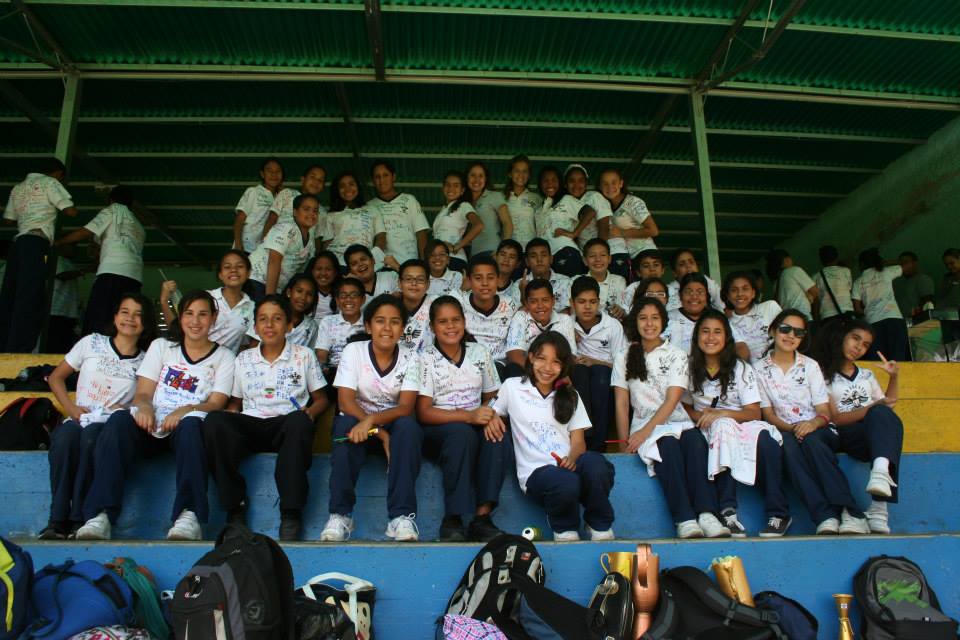
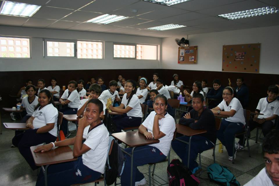
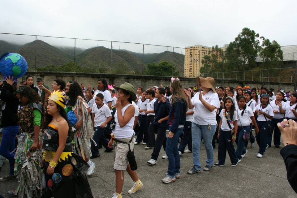
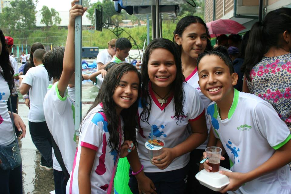
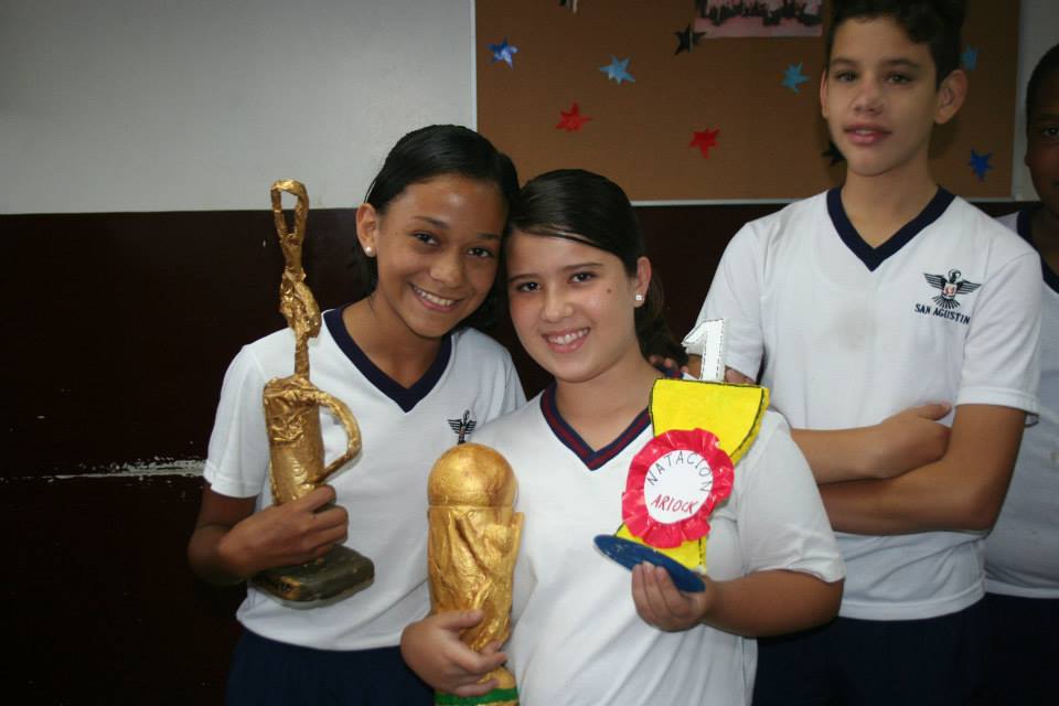
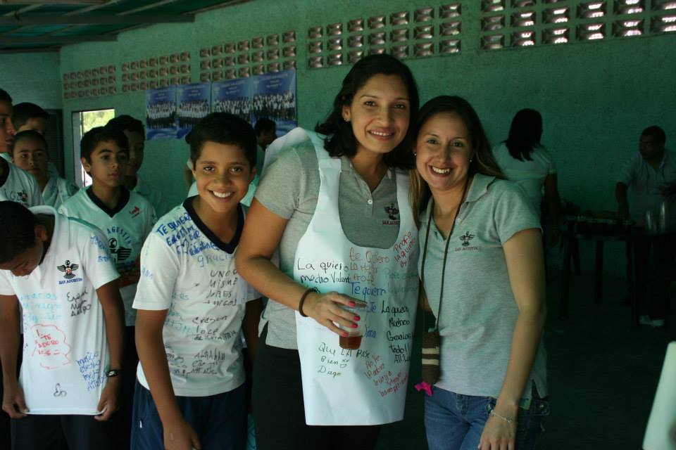
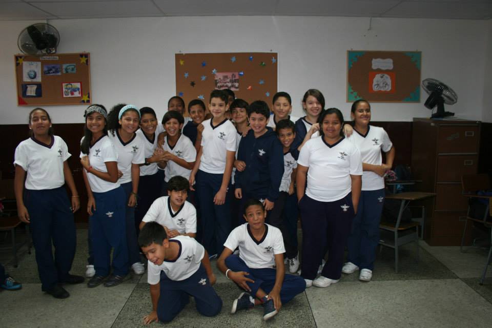
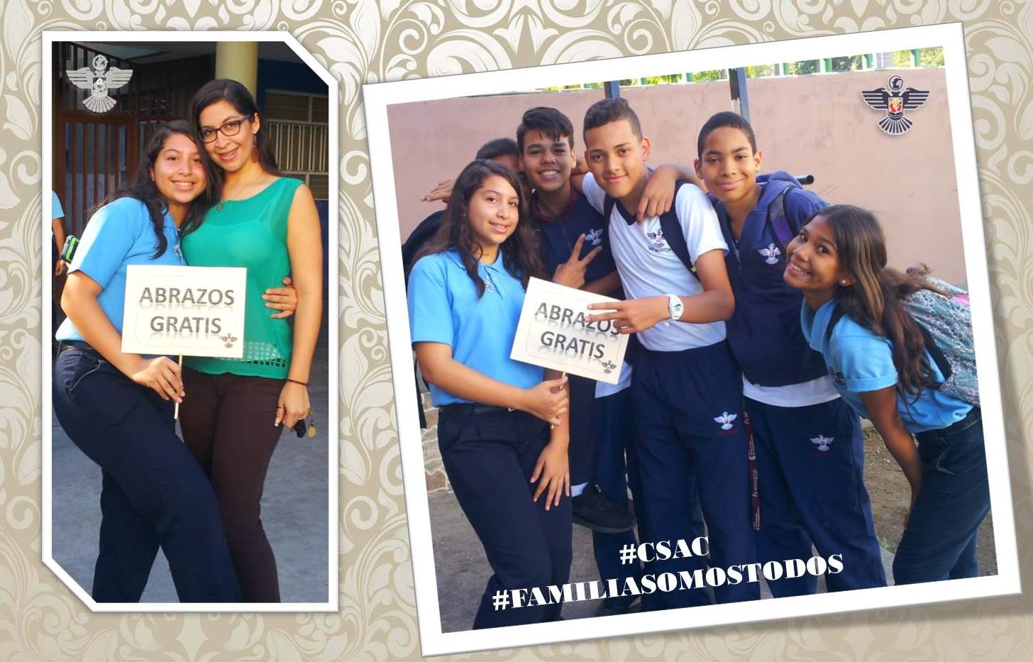
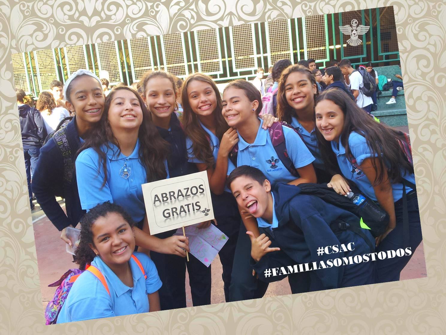
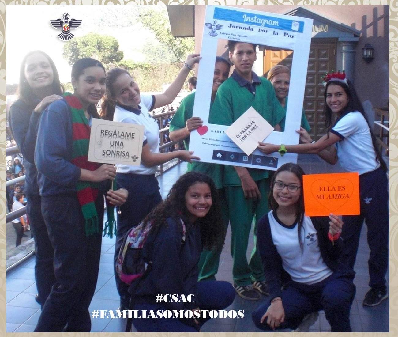
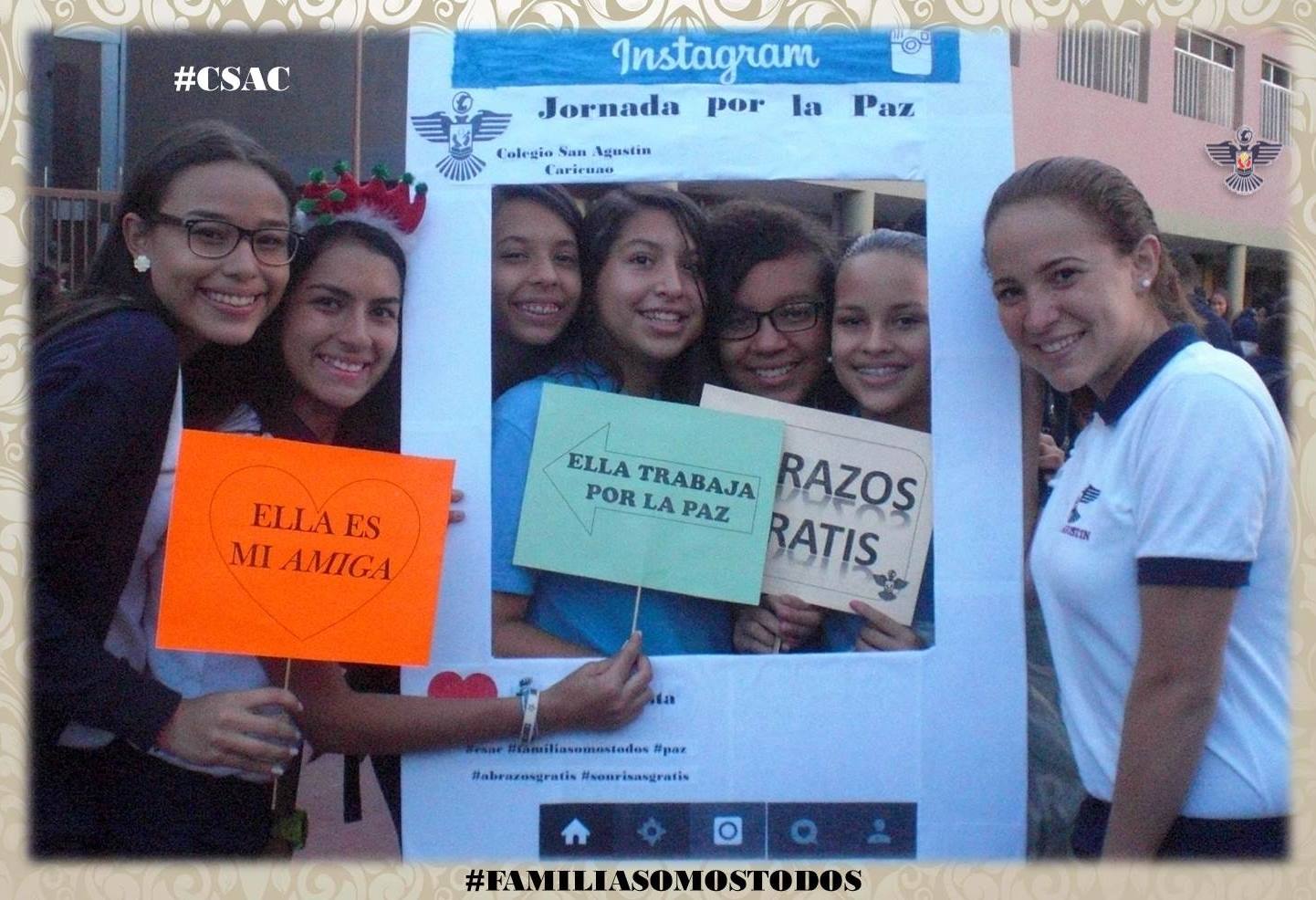
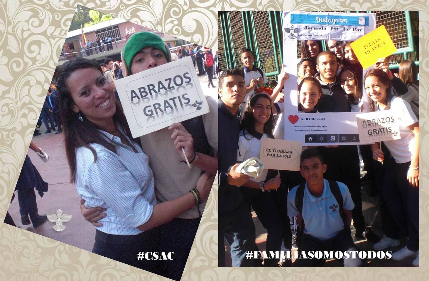
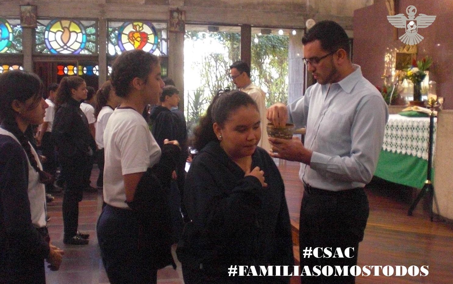
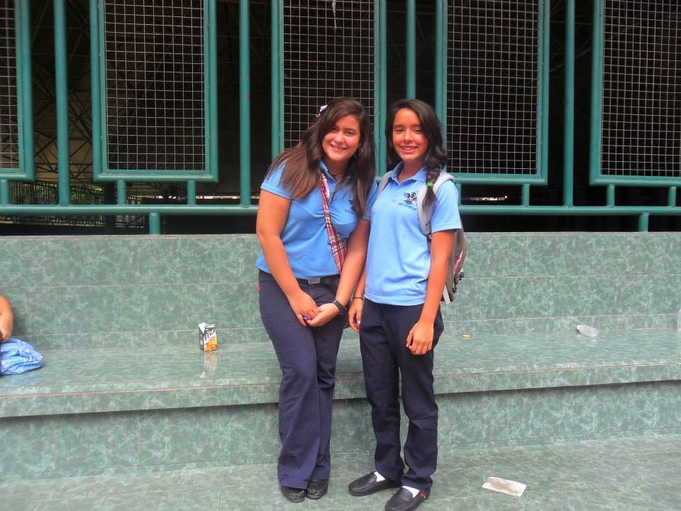
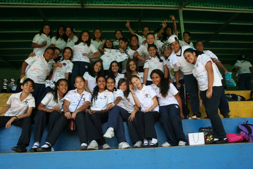
Continuing with school San Agustin, in Caricuao, southwestern Caracas:
Spoiler!
Spoiler!
My Updated 23andme Results (2021)
My Updated AncestryDNA Results (2022)
My Global25 Coordinates (2020)
An Epic Thread about me opened by Profield
| Thumbs Up |
| Received: 19,512 Given: 36,957 |
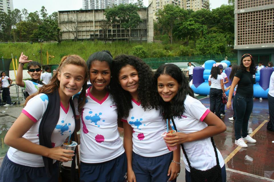
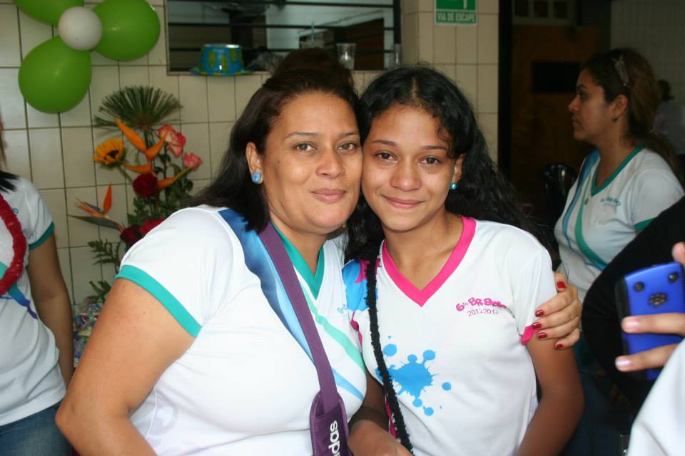
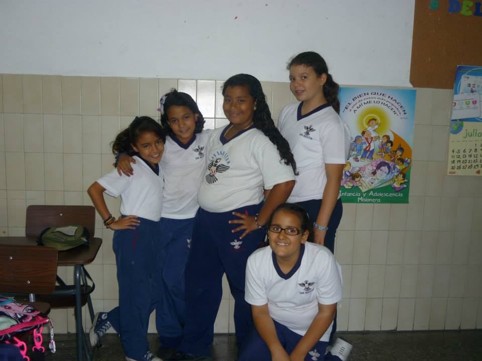
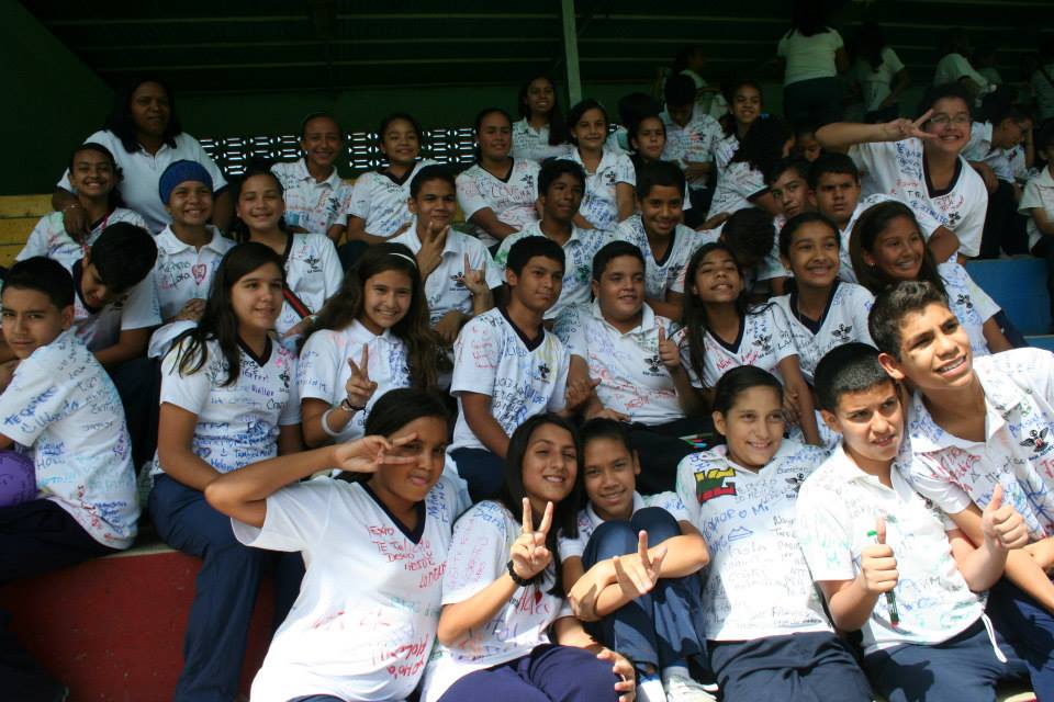
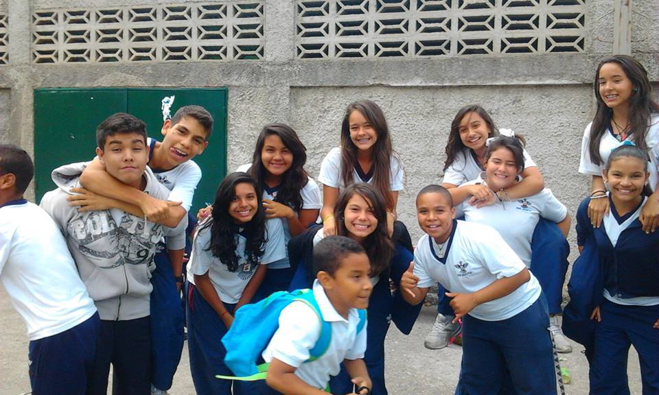
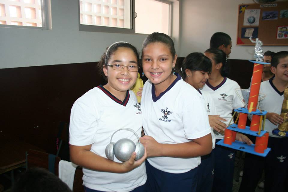
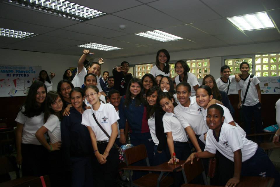
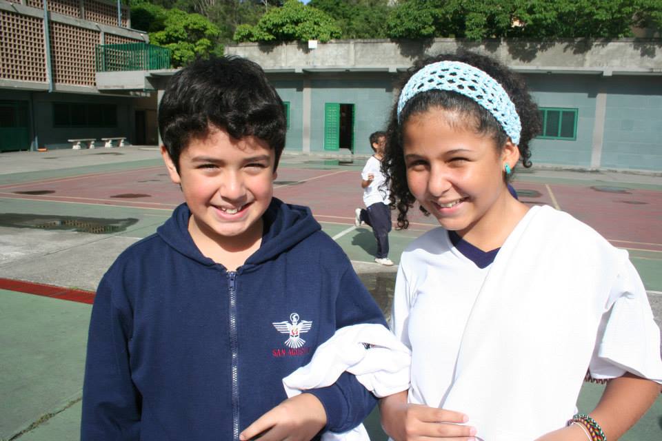
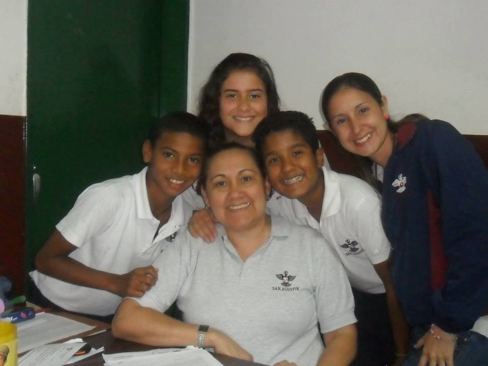
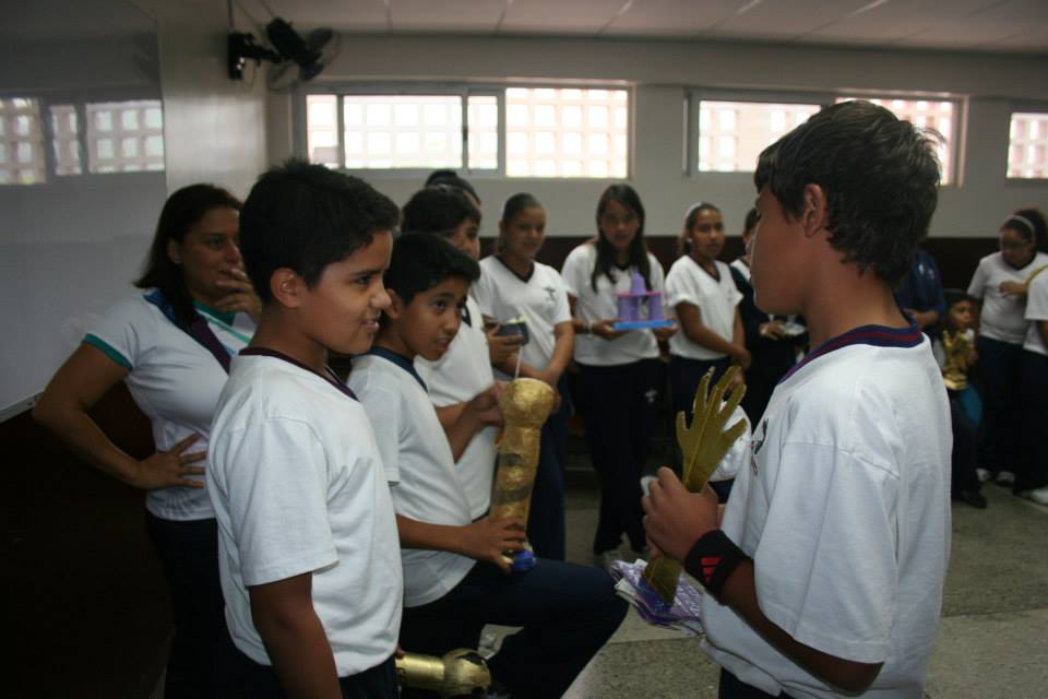
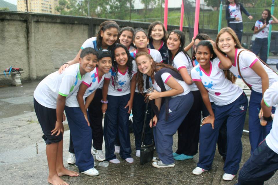
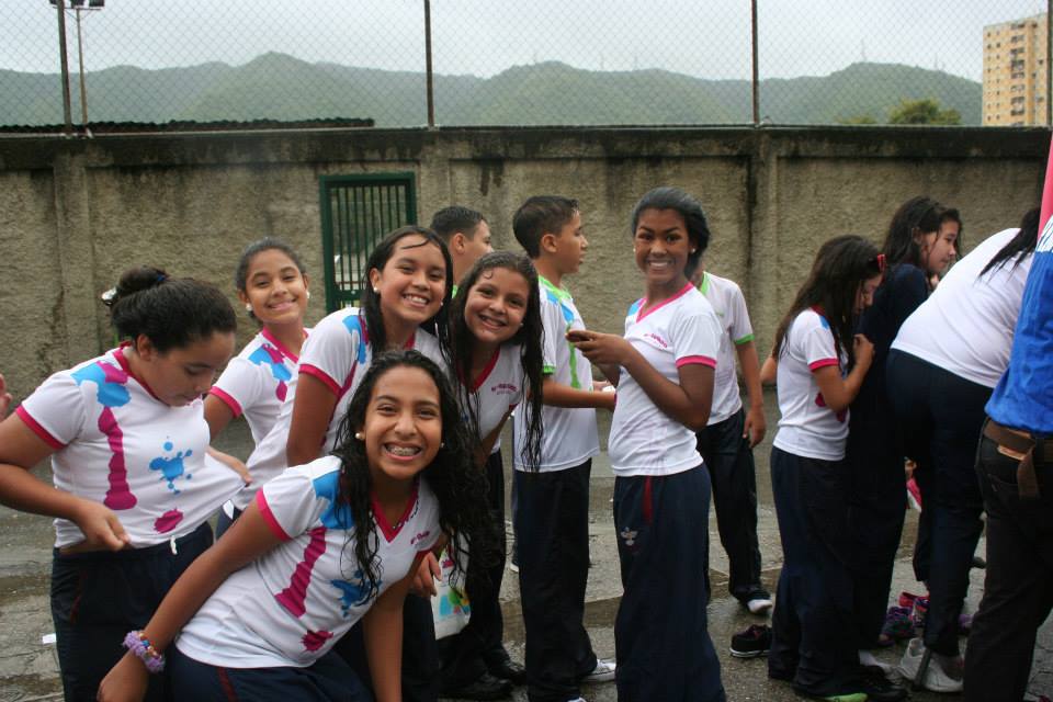
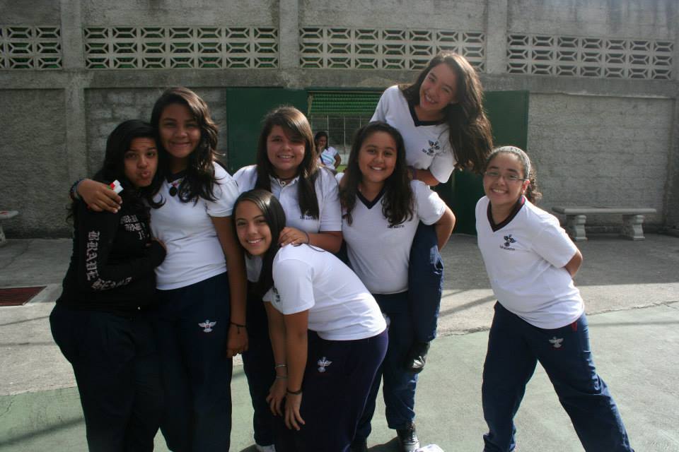
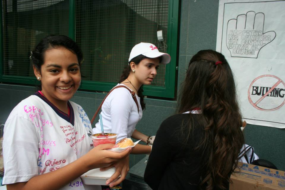
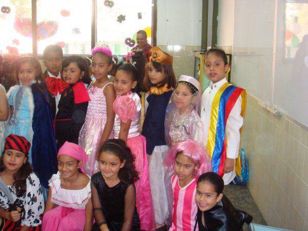
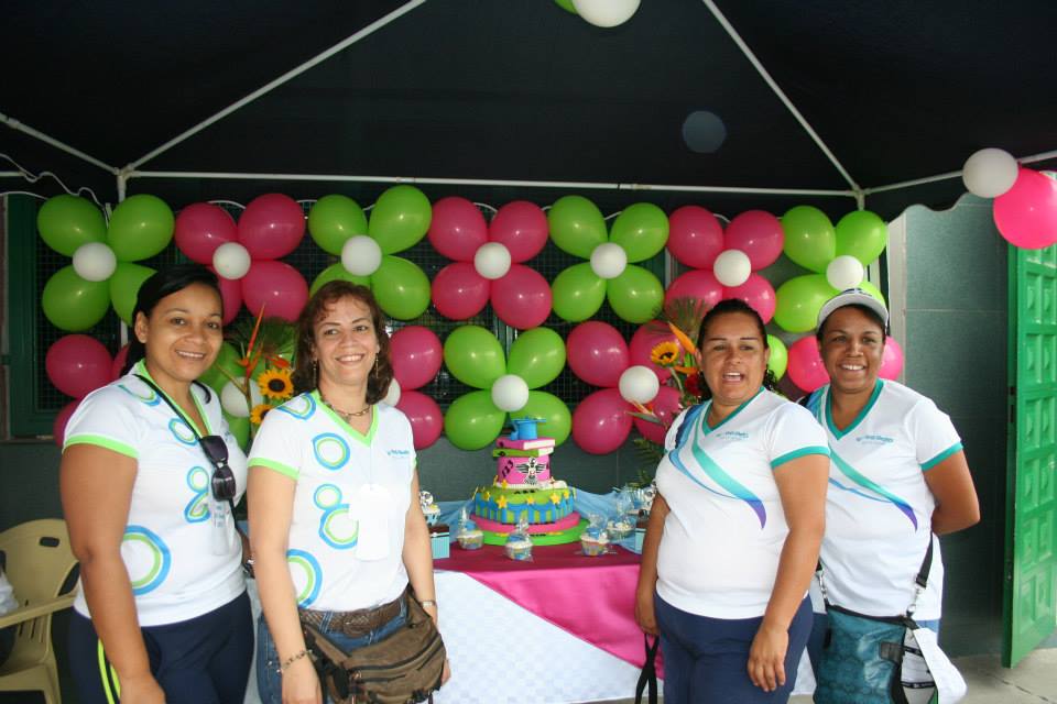
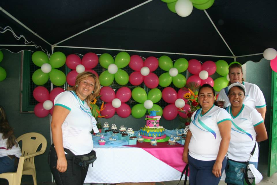
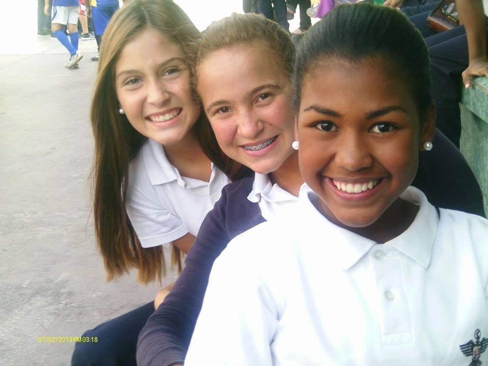
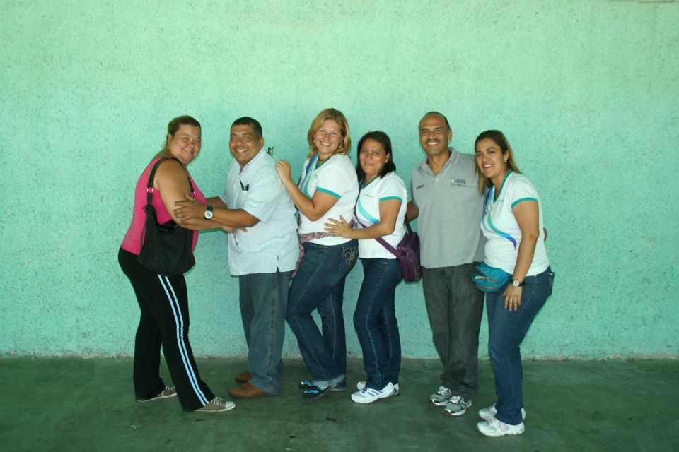
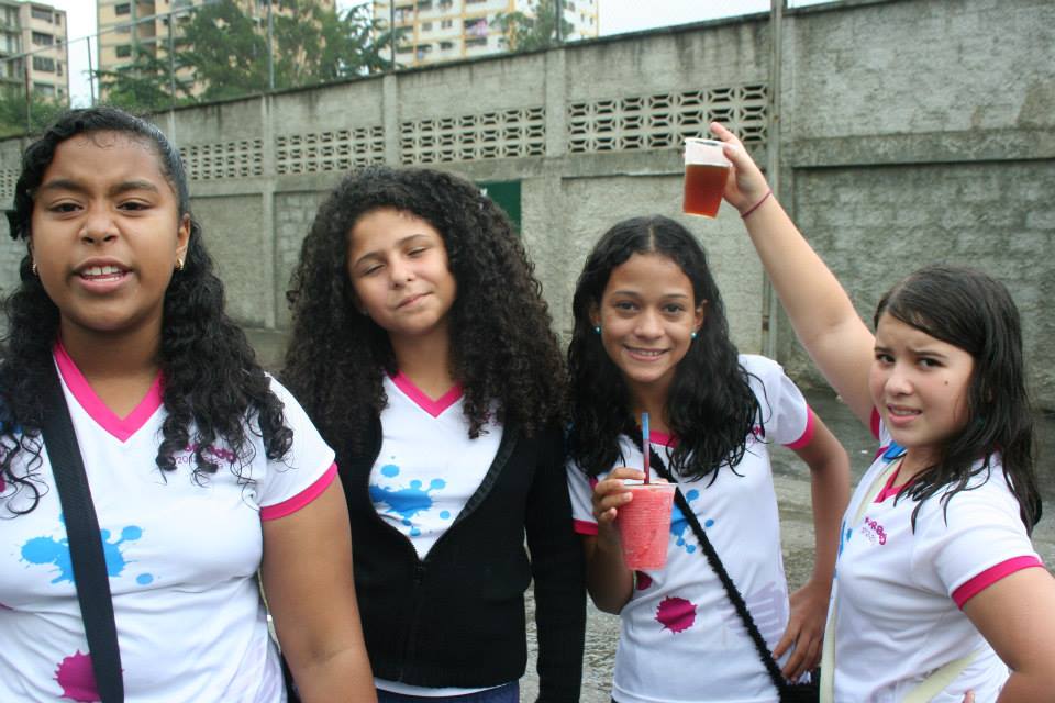
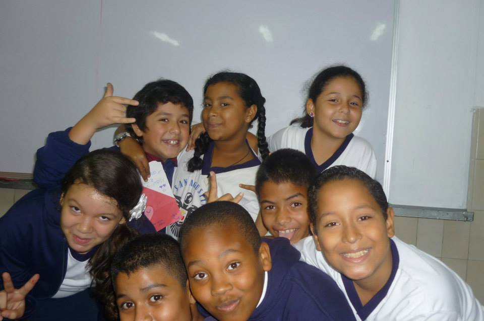
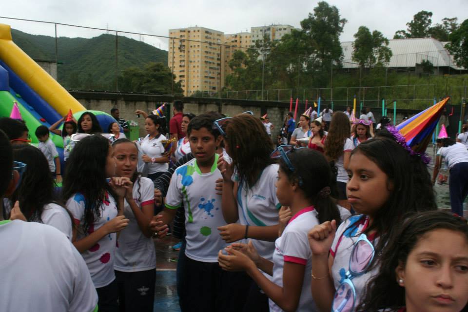
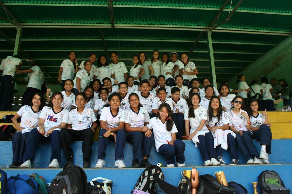
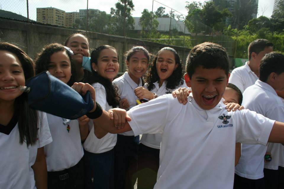
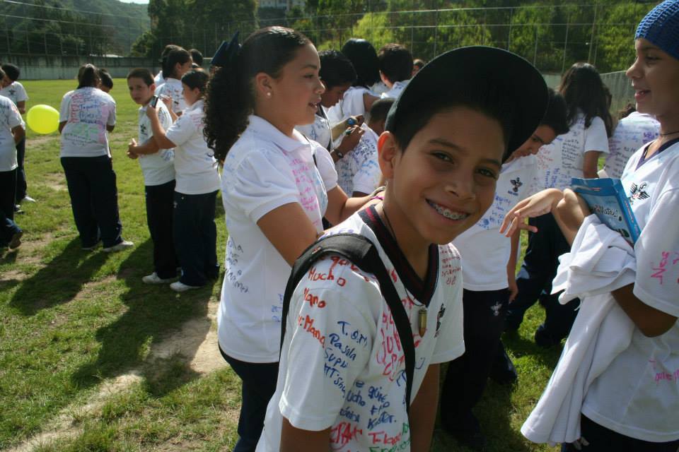
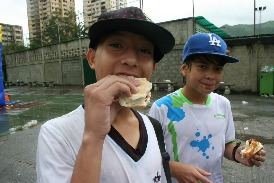
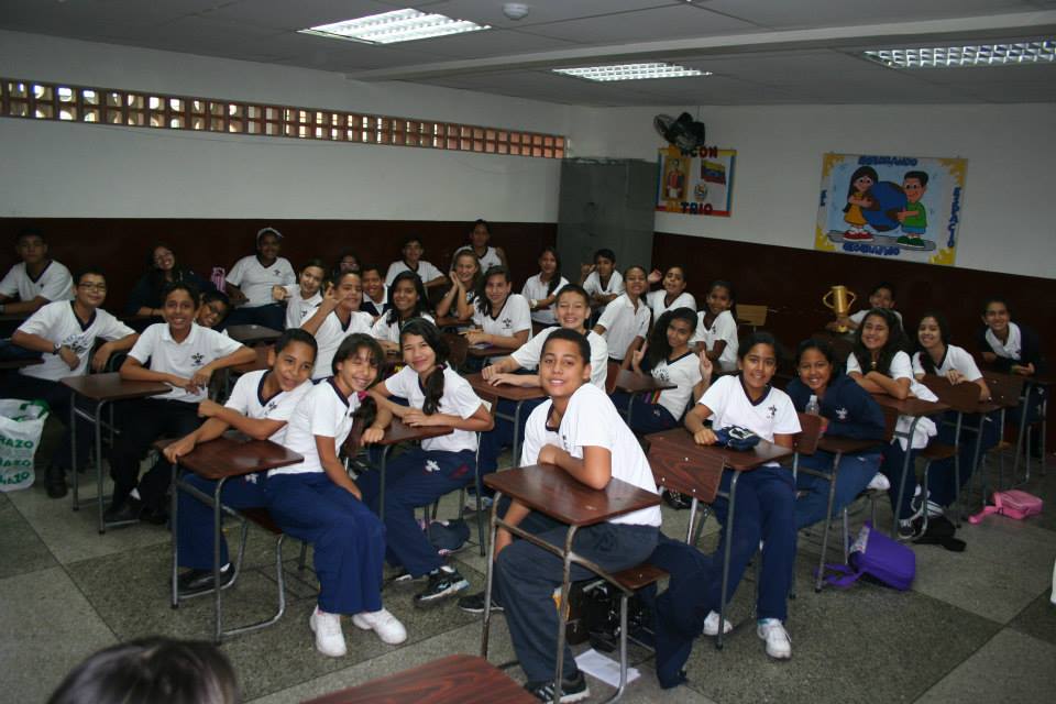
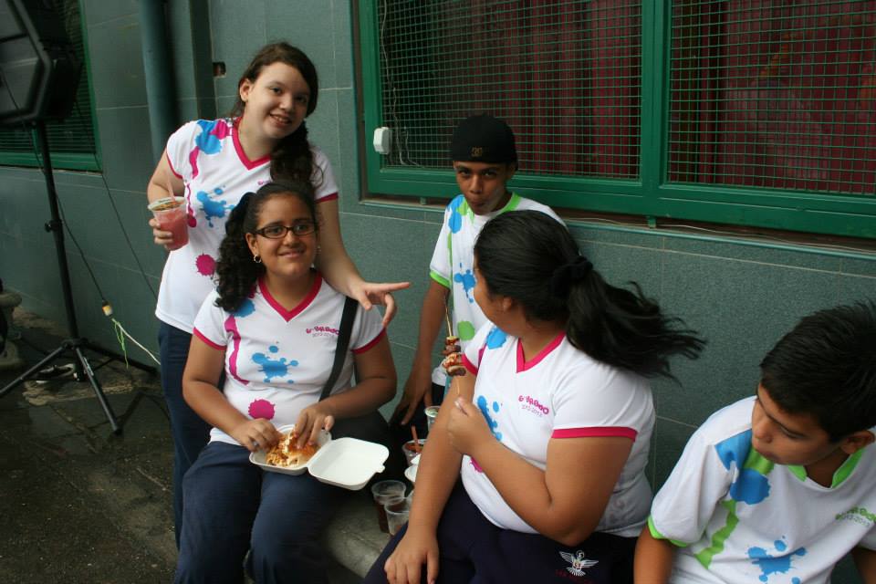
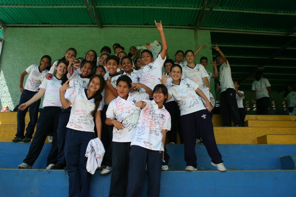
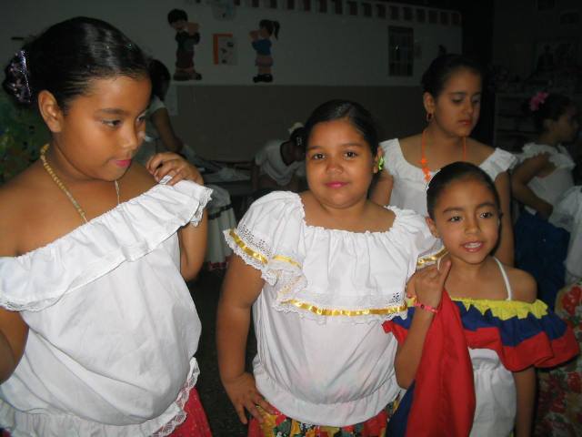
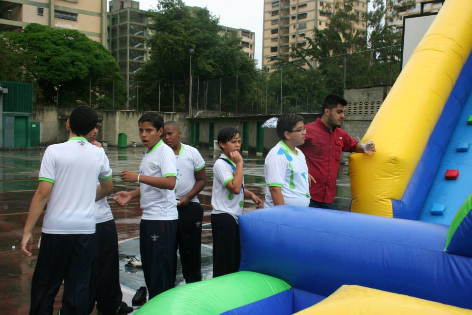
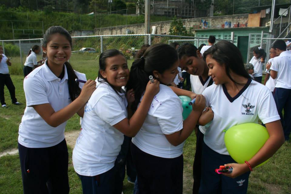
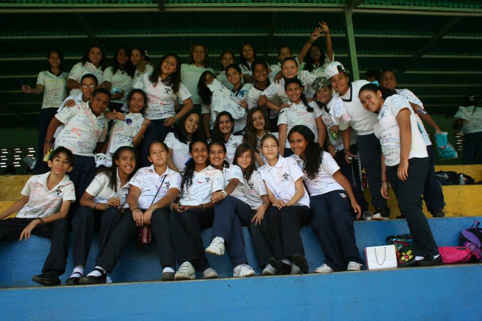
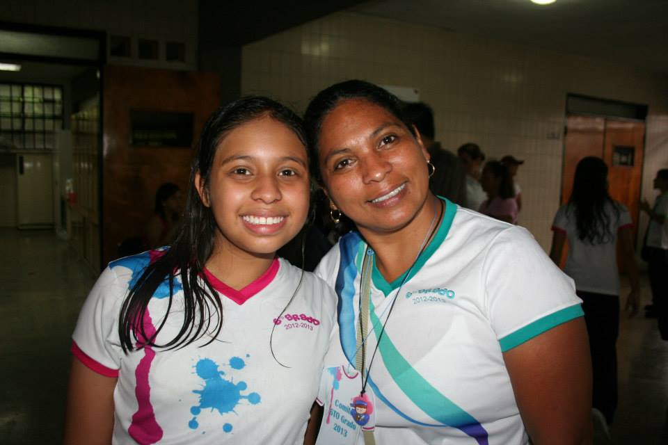
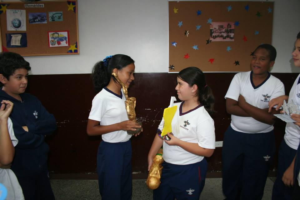
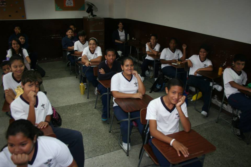
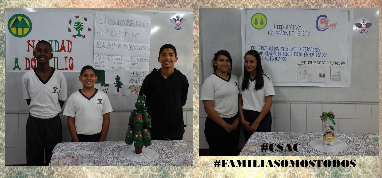
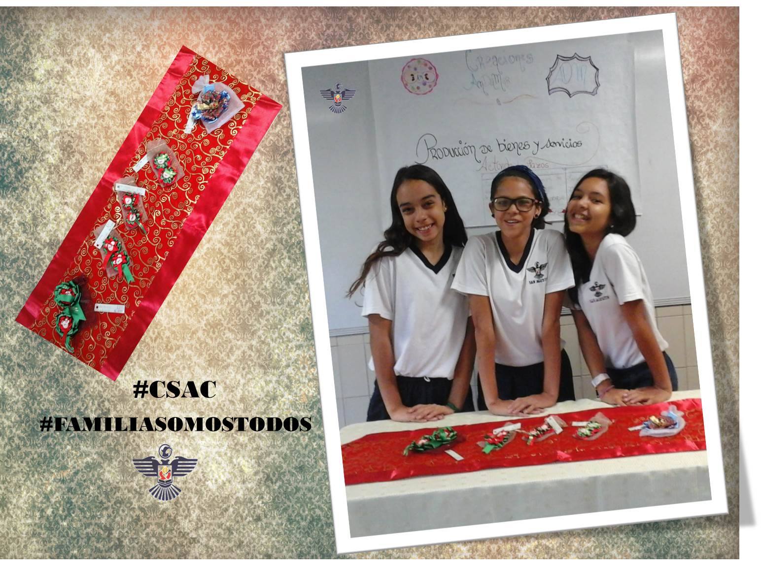
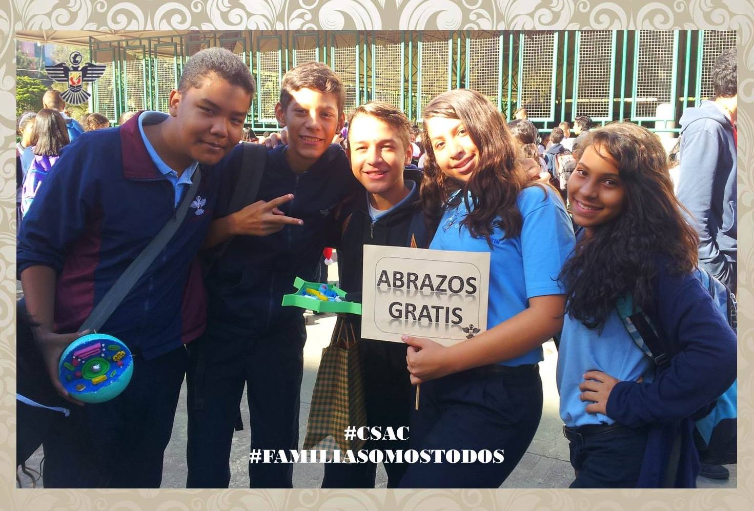
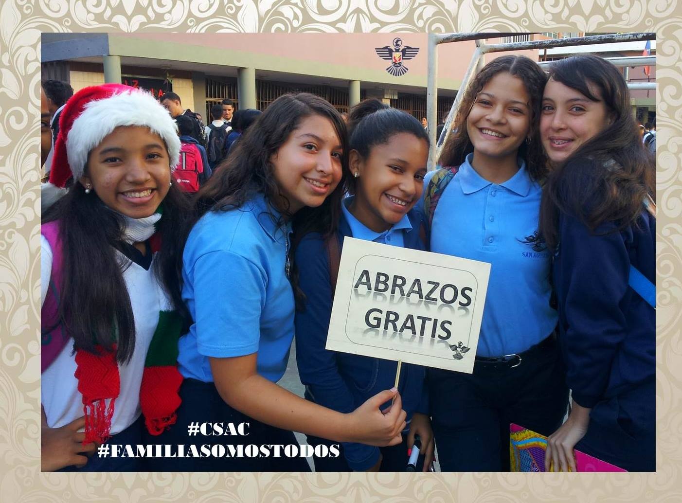
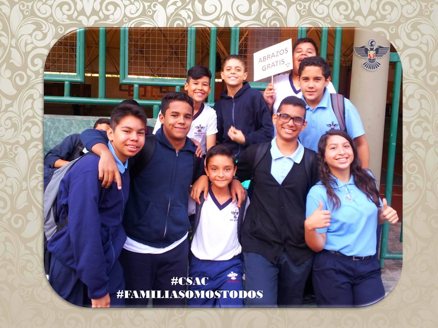
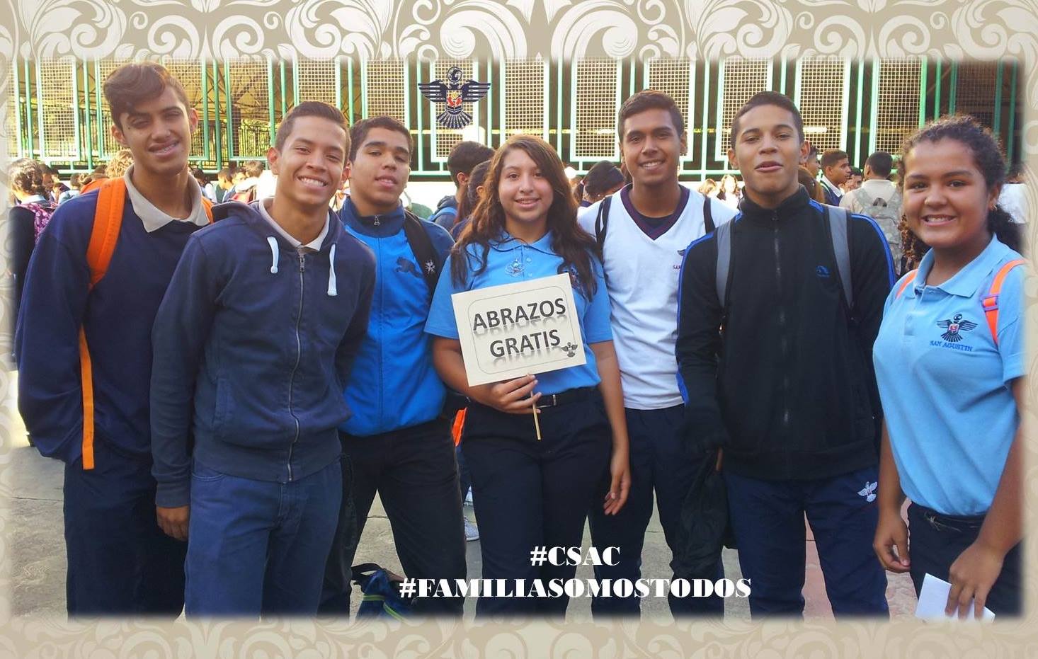
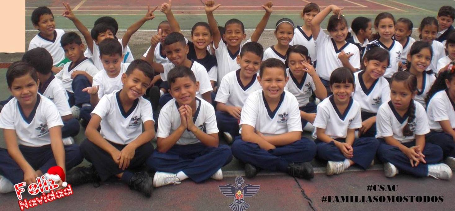
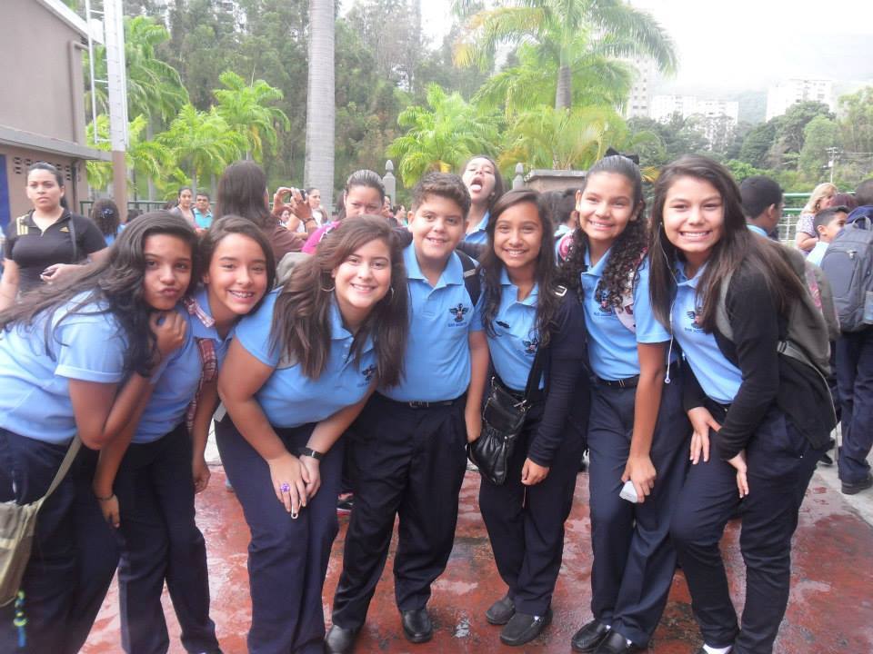
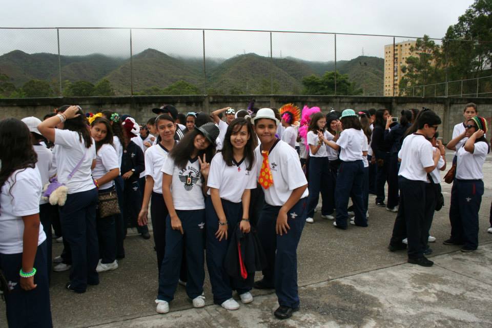
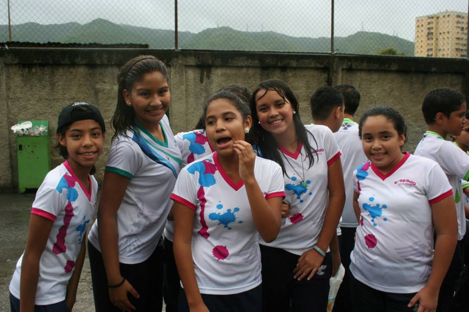
More pics from the school San Agustin, in the mostly lower middle class parish of Caricuao, in Southwestern Caracas, Libertador Municipality:
Spoiler!
Spoiler!
My Updated 23andme Results (2021)
My Updated AncestryDNA Results (2022)
My Global25 Coordinates (2020)
An Epic Thread about me opened by Profield
There are currently 1 users browsing this thread. (0 members and 1 guests)
 Latin America
Latin America
Latin America
Latin America
Latin America
 Türkiye
 Posting Permissions


 Reply With Quote
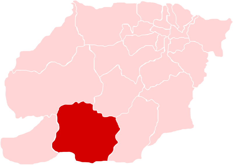


Bookmarks